Ice fishing for landlocked Atlantic salmon on Keoka Lake in Waterford, Oxford County, Maine (February 27, 2022)


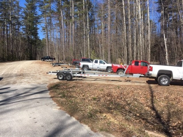
Keoka Lake covers 467 acres and is located in Waterford, Oxford County, Maine (see The Maine Atlas and Gazetteer map 10 D4). Public access is via the boat launch located right next to Route 35. Parking is on the road shoulder. However, beware that it may be next to impossible to leave a vehicle if the road shoulder is filled with plowed snow, as is the case for me today. One obvious alternative is to park your vehicle next door, on the lot in front of the Waterford Historical Society building. I see no signs forbidding this practice, but do not know if it is frowned upon.


Continue reading

Digiprove sealCopyright protected by Digiprove
Fishing for brook trout in Washburn Pond in Woodstock, Oxford County, Maine (June 19, 2021)


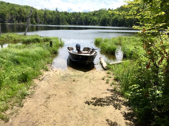
The boat launch is narrow and rather shallow.


Washburn Pond covers 12 acres and is located in Woodstock Township in Oxford County, Maine (see The Maine Atlas and Gazetteer map 11 A1). To reach this pond going north, drive down Redding Road and turn right on Washburn Pond Road right before reaching Sagg Pond. This 0.3 mile-long dirt road ends at Washburn Pond. Although it is rough in spots, the road will accommodate two-wheel drive cars. The pond has an unimproved and rather shallow sandy boat launch. I had to back my trailer about 30 ft. into the water before my boat would finally float off. The launch is also hemmed in by emergent aquatic vegetation on both sides. Hence, space is lacking to park the boat on shore AND back the trailer into the water at the same time. I was glad I brought my hip boots so I could place my boat in the vegetation to the side, back my trailer into the water, and then float the boat onto the trailer.


Continue reading

Digiprove sealCopyright protected by Digiprove

Fishing for brown trout on Burnt Meadow Pond in Brownfield, Oxford County, Maine (November 15, 2020)

View Map


Burnt Meadow Pond is a pretty 69-acre body of water located next to Route 160 in Brownfield, Oxford County, Maine (see The Maine Atlas and Gazetteer map 4 B2). The public access is via a hard-top boat launch located at the southern tip of the pond right off Route 160. Ample parking space is available by the launch.

Continue reading

Digiprove sealCopyright protected by Digiprove

Fishing for brook trout and brown trout on Hall Pond in Paris, Oxford County, Maine (October 24, 2020)

View Map


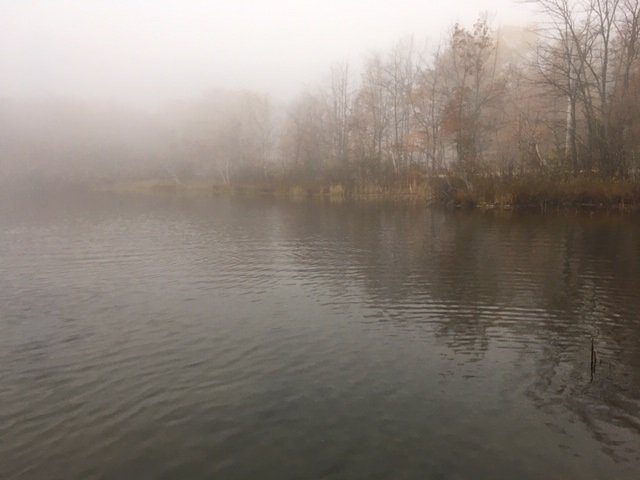
Everything is fogged in this morning but the trout are biting!


Hall Pond is a 51-acre body of water located next to Halls Pond Road (off Route 119, a.k.a. Hebron Road) in Paris, Oxford County (see The Maine Atlas and Gazetteer map 11 D2). Access to the water is directly from quiet Halls Pond Road. Vehicles can be parked along the road shoulder. This small pond serves as the sole public water supply for the Hebron Water Company which provides drinking water to the surrounding community. As a result, the town has promulgated a restrictive ordnance to protect the quality of the surface water, including no bodily contact, no ice shacks, and no use of internal combustion engines (including ice augers). I am checking out this pond this morning as part of my efforts to identify, and blog about, locations where one can catch trout in the fall while wader fishing from shore without the need of a boat or other specialized equipment.

Continue reading

Digiprove sealCopyright protected by Digiprove

Fishing for brook trout on Little Beaver Pond, Magalloway Plantation, Oxford County, Maine (September 28, 2020)

View Map


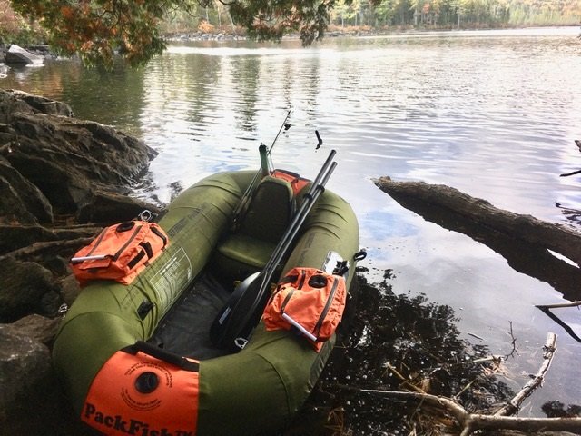
The access point to Little Beaver Pond is rough and can only accommodate hand-carried craft.


Little Beaver Pond is a pretty 50-acre body of water located just to the west of Upper Richardson Lake off Route 16 in Magalloway Plantation in northern Oxford County (see The Maine Atlas and Gazetteer map 18 A1). To access this pond from Route 16, drive north in the direction of Rangeley, turn right on Fish Pond Road (located between Aziscohos Lake and West Richardson Pond), drive down that gravel road for 1.0 mile, turn left on another gravel road and drive for 0.1 mile until you see a rough footpath on your right. The pond is located about 500 ft. down that path. Only hand-carried craft can be launched from the access point. Parking is along the road shoulder.

Continue reading

Digiprove sealCopyright protected by Digiprove

Fishing for brook trout on Lower East Richardson Pond in Adamstown, Oxford County, Maine (September 27, 2020)

View Map


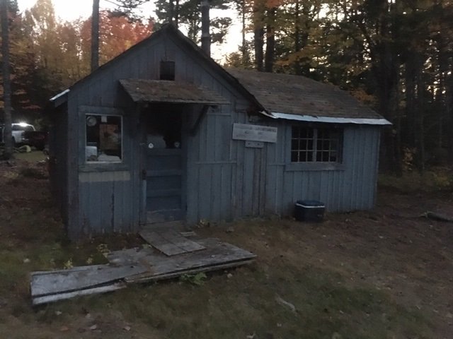
This old cabin sits at the end of the rutted forest road along the shoreline of Lower East Richardson Pond


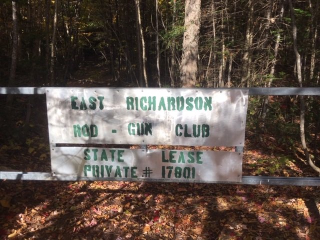
Lower East Richardson Pond is a remote 54-acre body of water located off Route 16 in the “Upper Richardson – Maine Public Reserved Land Unit” of Adamstown Township in northern Oxford County (see The Maine Atlas and Gazetteer map 28 E2). To access this pond from Route 16, drive north in the direction of Rangeley, turn right on Upper Dam Road located across from West Richardson Pond, stay on that dirt road for 0.8 miles, turn left on an unmarked dirt road (no need for a 4X4 vehicle) and drive for 0.5 mile until you reach another unmarked forest road on the left. Beware that a four-wheel-drive vehicle is required to drive the 1000 ft or so on that road to the pond. So it may be best to leave your vehicle at that intersection and walk in. To our surprise, my son Joel and I find an old cabin on the shoreline that seems to belong to a local rod and gun club. Note: the link to the Google Map above points to Upper East Richardson Pond. The lower pond is the smaller body of water just to the south of it.


Continue reading

Digiprove sealCopyright protected by Digiprove

Fishing for brook trout on Upper East Richardson Pond in Adamstown, Oxford County, Maine (September 26, 2020)

View Map


You’ve driven about 1000 ft too far if you reach this gate.


Upper East Richardson Pond is a remote 85-acre body of water located off Route 16 in the “Upper Richardson – Maine Public Reserved Land Unit” of Adamstown Township in northern Oxford County (see The Maine Atlas and Gazetteer map 28 E2). To access this pond from Route 16, drive north in the direction of Rangeley, turn right on Upper Dam Road located across from West Richardson Pond, stay on that dirt road for 0.8 miles, turn left on an unmarked dirt road (no need for a 4X4 vehicle) and drive for about a mile or so up to a gate on your left. The trail behind that gate leads to a cabin on the shore of the pond which appears to be used by a local rod and gun club. I do not see any no trespassing signs at the gate, but a kind person at the cabin informs me that the “public” access point is actually located down a short unmarked trail off the road about 1,000 ft before the gate (diagonally across from a small open clearing). The rough footpath from the road to the shore is less than 500 ft long.


Continue reading

Digiprove sealCopyright protected by Digiprove

Fishing for rainbow trout on Pennesseewassee Lake, Norway, Oxford County, Maine (April 25, 2020)

View Map


The public boat launch has ample parking space


Pennesseewassee Lake (a.k.a. Norway Lake) is a 922-acre body of water located in Norway, Oxford County, Maine (see The Maine Atlas and Gazetteer map 11 D1). Public access is through a high-quality boat launch off Waterford Road. Coming in from Harrison, drive north on Route 117 all the way to the lake. Turn left at the stop sign on Waterford Road, go for 0.3 miles, and then turn right at the boat launch sign. An aggressive annual stocking program has turned this pretty lake into an easily-accessible regional rainbow trout fishery powerhouse, with secondary fishing for landlocked Atlantic salmon and brook trout. The lake is moderately developed and consists of a larger lower basin and a smaller upper basin, separated by several islands. During open-water fishing, most people tend to focus their efforts on the lower basin because of its closeness to the boat launch. One negative about this general area is that the constant traffic on Lake Road (i.e., Routes 117/118) is visible and audible from the water. Click here for a depth map and more fisheries information. Maine’s general fishing laws for the South Zone apply during spring open-water fishing.

Continue reading

Digiprove sealCopyright protected by Digiprove

Fishing for lake trout on Kezar Lake in Lovell, Oxford County, Maine (October 19, 2019)

View Map


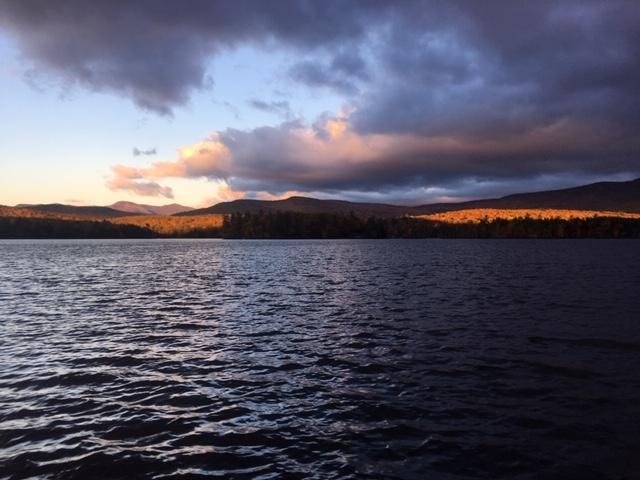
I just love the way the rising sun “paints” the surrounding landscape.


Kezar Lake is a 2,510-acre body of water located in Lovell, Oxford County, Maine (see The Maine Atlas and Gazetteer map 10 D2). To reach this location, drive north on Route 5 past Lovell and turn left on West Stoneham Road. Drive on this road for about 500 ft and look for the large blue boat-launch sign. After passing the sign, turn left on North Lovell Landing Road and drive about a quarter mile all the way down to the lake. The boat launch, which is located at the north end of Upper Bay, is spacious and provides lots of parking area. The launch itself is not improved but can accommodate large boats. In fact, the lake residents use it to put in and take out their pontoon boats. I note for the record that a second boat launch is located further south, by the Narrows on West Lovell Road, between Middle and Lower Bay. I don’t use that launch today because I aim to catch lake trout and landlocked salmon which are more abundant in the deeper Upper Bay.

Continue reading

Digiprove sealCopyright protected by Digiprove

Fishing for smallmouth bass on the Saco River in Hiram, Oxford County, Maine (September 8, 2019)

View Map


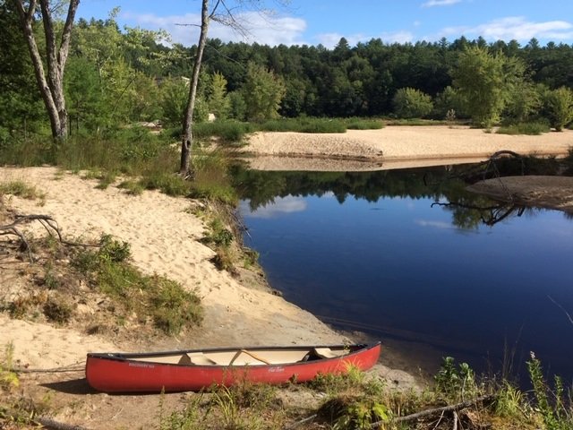
The put-in is located in a quiet side channel. Note the surrounding “sand dunes” created by erosion.


I want to try my luck this morning fishing for smallmouth bass on the Saco River in front of the hydroelectric station located by the Hiram Falls dam in Hiram, Oxford County, Maine (see The Maine Atlas and Gazetteer map 4 C3). To access this location, drive into downtown Hiram on Routes 5/1134/117 (Pequawket Trail) and cross the bridge over the river. Make an immediate left on River Road and drive down that road for 2.3 miles (note: the power station will be visible to your left after 2.0 miles). Look for an unnamed dirt road on the left that leads to a spacious dirt parking area. The river is about 400 ft down a path through the woods on the right. Only hand-carried craft can be launched from this location.

Continue reading

Digiprove sealCopyright protected by Digiprove