Fishing for brook trout on Broken Bridge Pond in Albany (White Mountain National Forest), Maine (June 9, 2019)

View Map


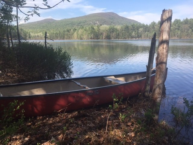
Broken Bridge Pond is an 18-acre body of water in the township of Albany (White Mountain National Forest, WMNF), Oxford County (see The Maine Atlas and Gazetteer map 10 C3). To reach this spot, drive down Route 5/35 and turn on Old West Bethel Road, followed by Patte Brook Road, and then Crocker Pond Road (through the open WMNF gate) for about 1.5-2 miles. A GPS will definitely help keep your bearings! Look out for a sign on the left side of Crocker Pond Road which announces a campsite on the shore of our target pond. The rough canoe launch is down an unmarked dirt road on the left about 500 ft before this campsite.
Continue reading

Digiprove sealCopyright protected by Digiprove
Fishing for brook trout on Round Pond in Albany (White Mountain National Forest), Maine (June 8, 2019)

View Map


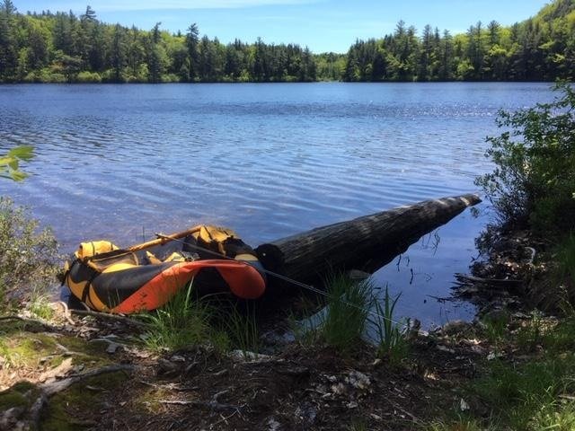
The float tube is my secret fishing weapon this afternoon!


Round Pond is a picturesque 11-acre body of water located in Albany (White Mountain National Forest, WMNF), Oxford County (see The Maine Atlas and Gazetteer map 10 C3). To reach this spot, drive up to the Crocker Pond camp ground managed by the US Forest Service and leave your vehicle at the head of the Albany Brook Trail, located about 300 ft past the campground entrance. By the way, this clean and well-maintained campground is a great base to explore the tremendous hiking and fishing opportunities in the surrounding WMNF. Round Pond is an easy 1-mile hike (about 30 minutes) from camp. A serious limitation is that, unlike Baxter State Park, the Forest Service does not store a canoe along the shoreline of remote ponds for day use. Hence, you’ll have to bring your own floatation device. Two people could conceivably drag in a canoe at great metabolic cost. I carry my much lighter float tube since I’m fishing by myself this afternoon. For the record, quality fishing from shore would be a real challenge at this location because the entire shoreline is surrounded by dense shrubs
Continue reading

Digiprove sealCopyright protected by Digiprove
Ice fishing for largemouth bass on Bradley Pond, Lovell, Maine (February 9, 2019)

View Map


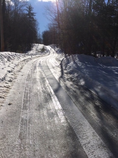
Bradley Pond Road is one continuous sheet of slippery ice this morning!


Bradley Pond is a 34 acre body of water located in Lovell, Maine (see The Maine Atlas and Gazetteer map 10 D2). To reach this destination, drive north on Route 5 from Lovell, and turn right on Bradley Pond Road. Drive down this winding road, keeping right at the split, until the pond appears to your left. The ice can be accessed via the rough boat launch indicated by a sign. No real parking is available during the winter because the small launch area remains unplowed, so vehicles have to be parked as best as possible along the side of the road. Fortunately, the road itself has no through traffic since it is a dead end that serves only the three houses present along the western shoreline.

Continue reading

Digiprove sealCopyright protected by Digiprove

Fishing for splake on Indian Pond in Greenwood, Maine (October 7, 2018)

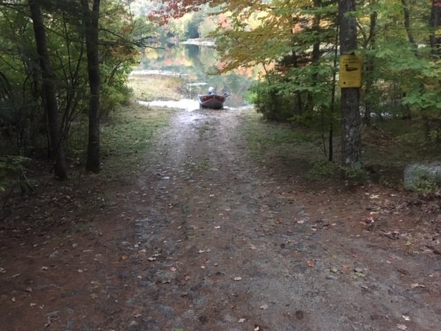
The boat launch at Indian Pond is unimproved but can easily accommodate small trailered boats


Indian Pond covers 68 acres and is located in Greenwood, Oxford County, Maine (see The Maine Atlas and Gazetteer map 10 B5). The access point is on Hobbs Road, off Rowe Hill Road, at the northern end of the pond. Drive on Hobbs Road for 0.6 miles until you reach a gate with a “no trespassing” sign. The boat launch is on the right just before that gate. The launch is unimproved but can easily accommodate small trailered boats. Parking is on the side in the woods.

Continue reading

Digiprove sealCopyright protected by Digiprove

Fishing for brown trout on Hancock Pond in Denmark, Maine (September 15, 2018)

View Map

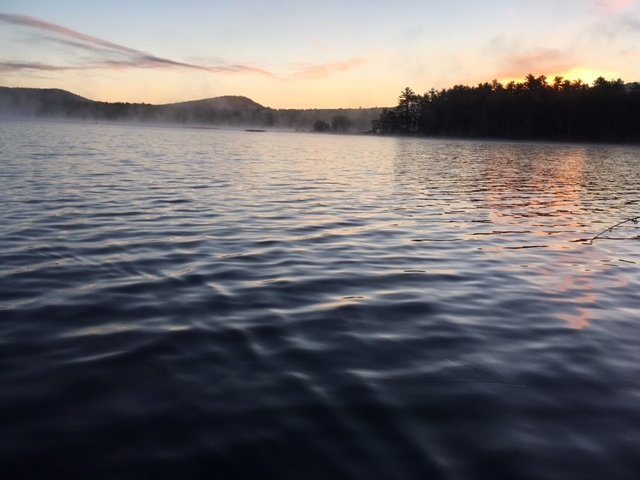
The morning fog is lifting as the sun is about to emerge over Hancock Pond

Hancock Pond covers 858 acres and straddles the boundary between the towns of Sebago and Denmark in Cumberland County and Oxford County, respectively (see The Atlas and Gazetteer map 4 B3 and 4). The public access is located along the eastern shoreline at the intersection of Hancock Pond Road and Wabunaki Road. The boat launch is hard-topped and can accommodate large motorized craft. Ample parking is available on Hancock Pond Road behind the large white electrical switch boxes across from the entrance to the launch. This pond, one of many in southern Maine which are stocked annually with brown trout, is known to grow some serious fish. Click here for a depth map and more fisheries information. I have it on good authority that 6++ pound brown trout behemoths swim around this body of water… This species is hardier than our native brook trout and also does better in the presence of other competing fish species, which is why browns are stocked in “marginal” brook trout waters. However, they are weary creatures and are less likely than brookies to grab artificial lures like spoons. I take advantage of the fact that I can still use live bait before the seasonal rule change on October 1, when only artificial lures are allowed in southern Maine.
Continue reading

Digiprove sealCopyright protected by Digiprove

Fishing for Smallmouth bass on the Androscoggin River in Rumford, Maine (August 25, 2018)

View Map

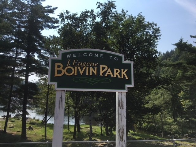
The Eugene Boivin Park provides public access to the Androscoggin River in front of the upper falls

My target for exploration today is the spillway in front of the upper section of Rumford Falls on the Androscoggin River in Rumford, Oxford County, Maine (see The Maine Atlas and Gazetteer map 78 C1). Click here, here, here, and here for other blogs about smallmouth bass fishing on nearby sections of the Middle Androscoggin River. Click here for tips on how to target these magnificent fighters. Rumford Falls is the highest waterfall east of Niagara Falls in western New York. Its total height is 178 ft, although the main plunge where I’m fishing this morning is a lower but still very impressive 100 ft high or so. The remainder of the falls consist of four smaller drops further downstream on the river, some of which are currently submerged by dams. A hydroelectric power station was built in the upper falls in the 1890’s and represents the main conduit for the river during the low-flow summer months. To see the full majesty of the upper falls requires that high water levels, which occur during snowmelt in mid-to-late April or after a heavy rainstorm later on in the year, spill over the dam at the top of the falls.


Continue reading

Digiprove sealCopyright protected by Digiprove

Fishing for smallmouth bass on the Androscoggin River in Mexico and Rumford, Maine (July 14, 2018)

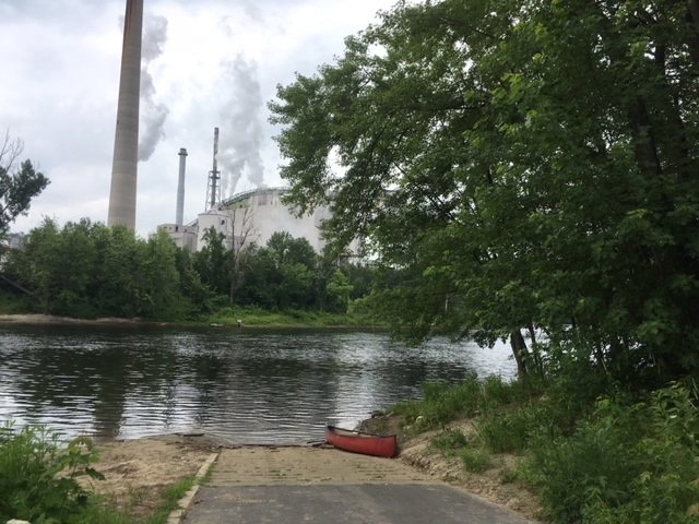
The boat launch on the Androscoggin River in downtown Mexico, with the paper mill looming in the background on the opposite shore.


(NOTE: this blog combines two separate fishing trips to the same location) I focus my attention this morning on fishing for smallmouth bass on the short, one-mile section of the Androscoggin River which flows between the Portland Street bridge in Rumford and the Veteran Street bridge in Mexico in Oxford County, Maine (see The Maine Atlas and Gazetteer map 19 E1 and also map 78 B1 and 2). Access to this water is via an excellent hard-top public boat launch located at the end of Riverside Avenue off Lincoln Avenue (Route 2 and 17) in downtown Mexico. Plenty of parking is available on Riverside Avenue. Note that, as I found out the hard way, during periods of lower water levels in the summer, this stretch of river should only be fished using a canoe or kayak. The reason is that parts of the Androscoggin River flowing above the confluence with the Swift River located on the boundary between Rumford and Mexico is too shallow and bouldery for safe motoring, whereas a canoe or kayak can easily be dragged further upstream. Also, the water gets quite shallow in the vicinity of the Veteran Street Bridge which can make motoring back upstream to the boat launch problematic.

Continue reading

Digiprove sealCopyright protected by Digiprove

Ice fishing for landlocked Atlantic salmon on Bear Pond in Waterford, Maine (January 8, 2017)

View Map

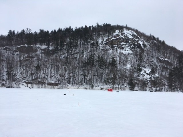
Bear Mountain looms large over Bear Pond. Route 35 runs along the base of this mountain.

Bear Pond covers 218 acres and is located in Waterford, Oxford County, Maine (see The Maine Atlas and Gazetteer map 10 E4). The pond sits right next to Route 35 (Waterford Road) in the shadow of Bear Mountain. Access to the ice is from the boat launch off Route 35. The area in front of the launch is nicely plowed and can easily accommodate half a dozen vehicles. Anglers can also gain access to the ice with their vehicles from the launch. This pond has several advantages: (a) it is easily accessible from the road, (b) the fishing is good around the launch area and does not require walking out too far on the ice, and (c) it was stocked last fall with three different salmonid species, namely landlocked Atlantic salmon, splake, and brook trout. My plan is to target all three species. The salmon are pelagic creature which prefer to chase smelt, their main food item, over deeper water. Splake are a cross between brook trout and lake trout, and show behavioral characteristics of both, i.e., they feed both over deeper water and in shallower areas. Brook trout prefer shoreline areas.

Continue reading

Digiprove sealCopyright protected by Digiprove

Largemouth bass fishing on Stearns Pond, Sweden, Maine (July 29, 2017)

View Map

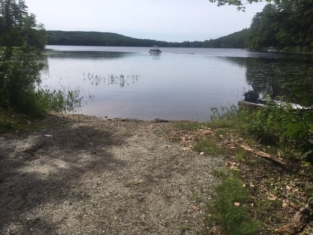
View of Stearns Pond from the public access point

Stearns Pond covers 255 acres and is located in Sweden, Oxford County (see The Maine Atlas and Gazetteer map 10 E3). To access this pond from Waterford Road (Route 93), drive down Hardscrabble Road and turn left on Wint Road. Drive down this road for 0.25 miles before turning left on Town Landing Road. The public access point to the pond is located at the end of this gravel road. The boat launch is unimproved but consists of firm sand and can easily accommodate small trailered boats. Ample parking is available next to the launch.

Continue reading

Digiprove sealCopyright protected by Digiprove

Rainbow trout and brook trout fishing on Long Pond, Denmark, Maine (May 18, 2017)

View Map

A stunning view of Pleasant Mountain from the rough boat launch at Long Pond

Long Pond covers 55 acres and is located in Denmark, Oxford County, Maine (see The Maine Atlas and Gazetteer map 4 A2). This pond can be reached as follows when driving from the Naples/Bridgeton area: in the town of Denmark, turn right unto Denmark Road (just after crossing the outlet of Moose Pond), drive on Denmark Road for exactly 4.0 miles, make a left at the stop sign, drive down that road for 0.1 mile and take the first road (Long Pond Drive) to the left. A “No Trespassing” sign is nailed to a large tree but this road is open to the public. Stay on Long Pond Drive for 0.9 miles; the public launch is on the left and is clearly marked. Note that the Maine Atlas and Gazetteer shows that the access point is on the eastern side of the pond, when in fact it is located on the western side. It took me a while, and talking to several locals, to figure that one out…


Continue reading

Digiprove sealCopyright protected by Digiprove