Ice fishing for brook trout, brown trout, and rainbow trout on Worthley Pond, Peru, Oxford County, Maine (January 1, 2023)


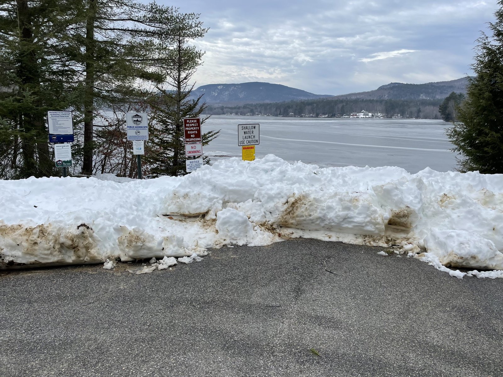
The public access is plowed during the winter and provides plenty of parking spaces


Worthley Pond is a 354-acre body of water located in Peru, Oxford County, Maine (see The Maine Atlas and Gazetteer map 11 A3). The public access point is located on East Shore Road and is clearly indicated by a blue boat launch sign. This well-maintained hardtop launch is plowed during the winter to provide parking and allow easy access to the pond.

Continue reading

Digiprove sealCopyright protected by Digiprove
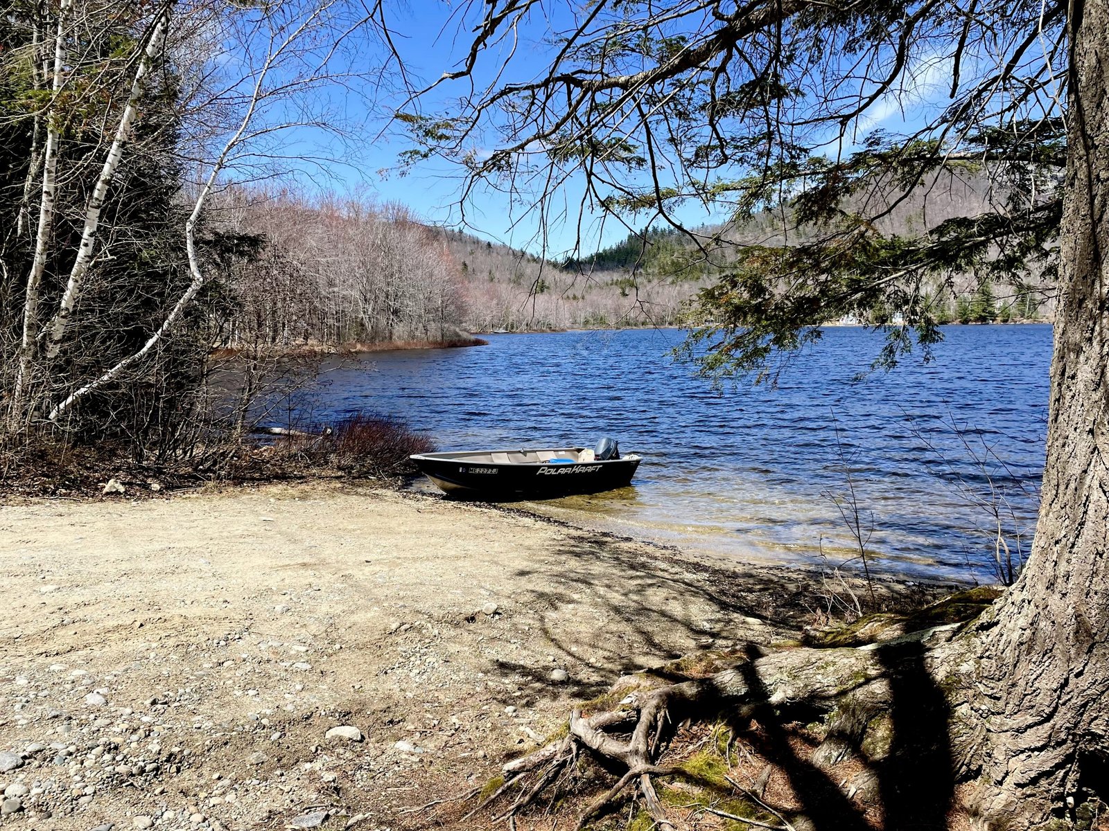
Fishing for brook trout, brown trout, and rainbow trout on Worthley Pond, Peru, Oxford County, Maine (November 25, 2022)


The weather is cold, gloomy, and overcast. But, fortunately, the wind is quiet.


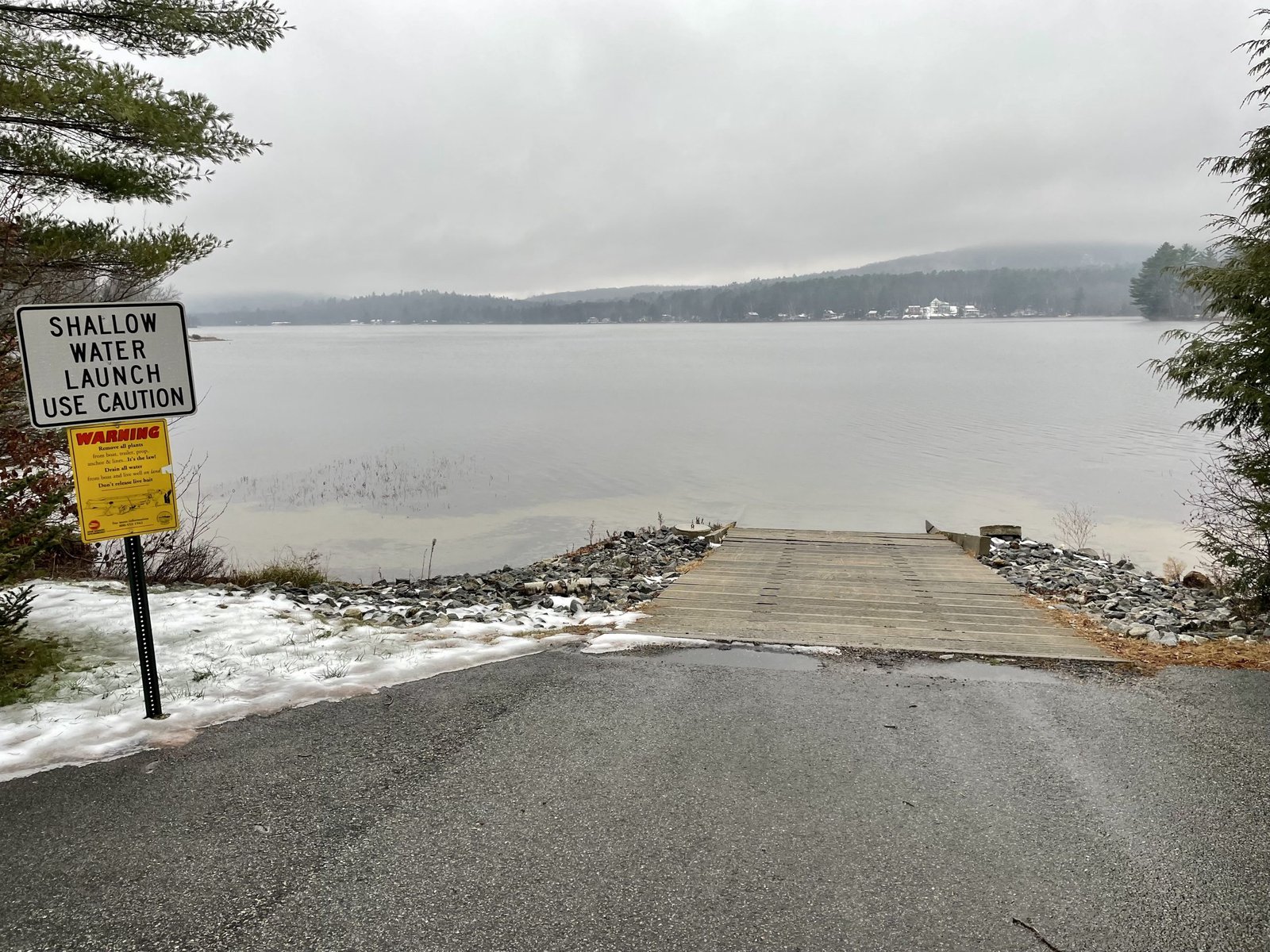
Worthley Pond is a 354-acre body of water located in Peru, Oxford County, Maine (see The Maine Atlas and Gazetteer map 11 A3). The public access point is found on East Shore Road and is clearly indicated by a blue boat-launch sign. This well-maintained hardtop launch is spacious, accessible to large craft, and offers plenty of parking spaces.

Continue reading

Digiprove sealCopyright protected by Digiprove
Fishing for brook trout on Hutchinson Pond in Albany, Oxford County, Maine (November 2, 2022)


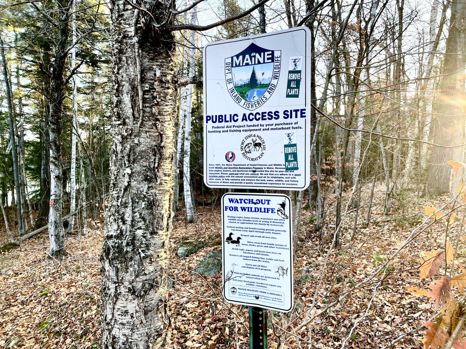
Look for this public access sign. A short trail leads to the nearby pond.


Hutchinson Pond is a 93-acre body of water located in Albany, Oxford County, Maine (see The Maine Atlas and Gazetteer map 10 C4). To reach this pond, drive north on Hunts Corner Road and turn right on Hutchinson Pond Road. Drive down this road for 1.3 miles until you see the bright white “public access” sign to your left. A 10-foot wide rough path squeezed between two private properties provides access to the pond. Only hand-carried craft can be launched from this location. A few vehicles can be parked along the road shoulder.

Continue reading

Digiprove sealCopyright protected by Digiprove

Fishing for brook trout on Big Clemons Pond in Hiram, Oxford County, Maine (October 22, 2022)


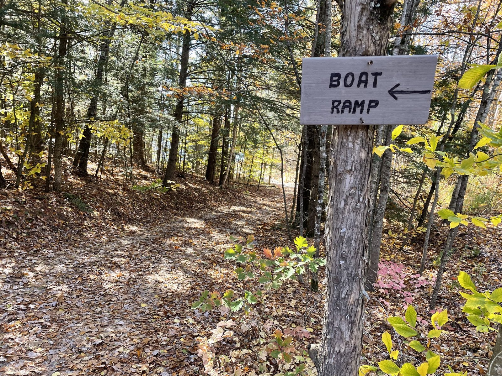
Follow this sign to reach the public access point.


Big Clemons Pond is an 85-acre body of water located in Hiram, Oxford County, Maine (see The Maine Atlas and Gazetteer map 4 C2). From Hiram, drive north on Routes 5/113 (Pequawket Trail). After about 2 miles, turn left on Notch Road. Drive 2.5 miles down this road and turn right on Clemons Cove Road. After a few hundred feet, turn left at a small discrete “boat ramp” sign. The access to the pond is unimproved but provides plenty of parking area. Note that both The Maine Gazetteer and the Maine Department of Inland Fisheries and Wildlife indicate the presence of a hard-topped boat launch at this location. What I found was an unimproved dirt public launch that can only accommodate small hand-carried craft, or perhaps a small-trailered boat, in a pinch.

Continue reading

Digiprove sealCopyright protected by Digiprove

Fishing for brook trout on Little Clemons Pond in Hiram, Oxford County, Maine (October 22, 2022)


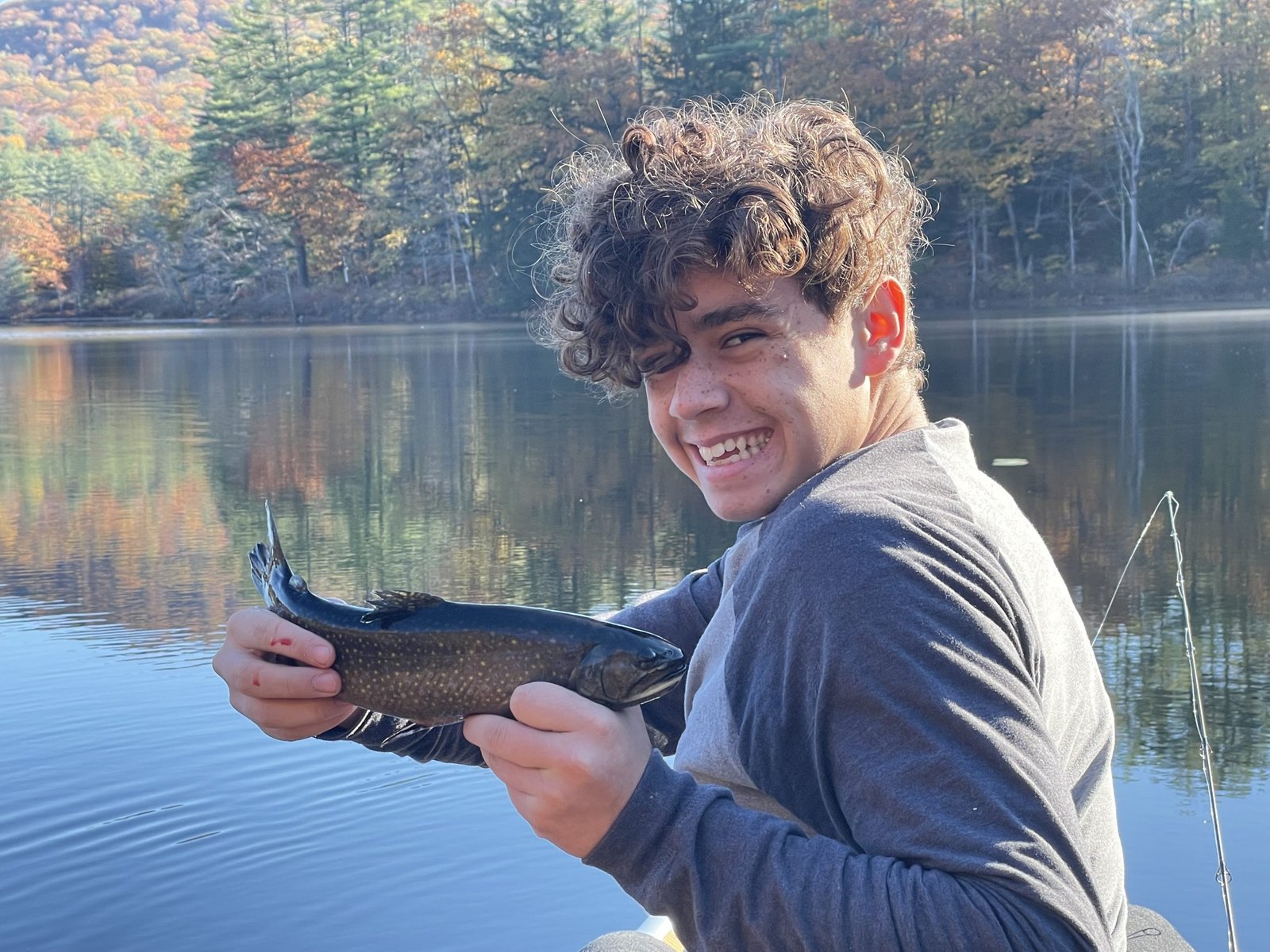
Giovani is definitely getting the hang of it!


Little Clemons Pond is a 25-acre body of water located in Hiram, Oxford County, Maine (see The Maine Atlas and Gazetteer map 4 C2). Drive north on Route 160 (Brownfield Road) from South Hiram. The pond will appear on your right-hand side, just after passing Notch Road. The pond is accessible via a rough and steep launch by the road.  Cars can be parked on the shoulder. One can only put small hand-carried craft in the water from this access point. An actual boat launch is not available.


Continue reading

Digiprove sealCopyright protected by Digiprove

Fishing for brown trout and smallmouth bass on Horseshoe Pond in Stoneham and Lovell, Oxford County, Maine (September 3, 2022)


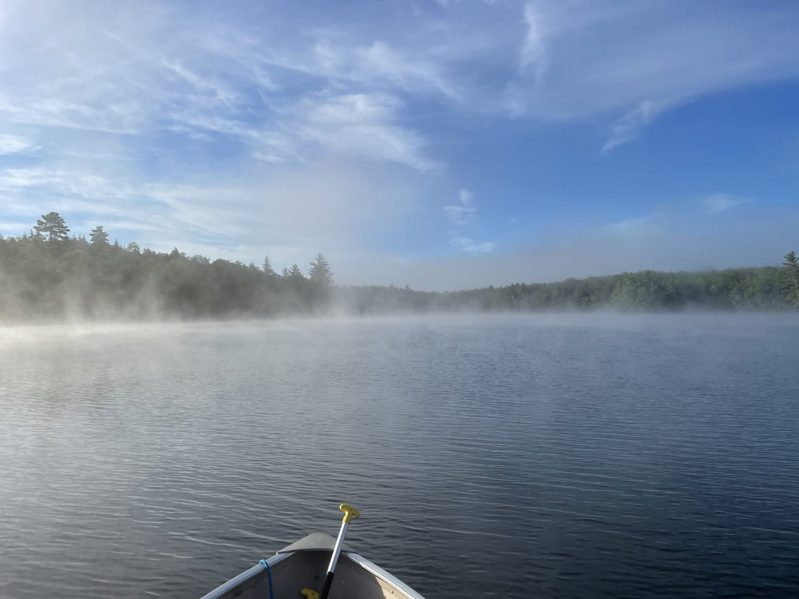
The rising sun is quickly burning off the morning fog. I love this vibe!


Horseshoe Pond is a 132-acre body of water located in the towns of Stoneham and Lovell within the boundary of the White Mountain National Forest in southern Oxford County, Maine (see The Maine Atlas and Gazetteer map 10 D1). The access point is by the outlet at the end of Horseshoe Pond Road, a well-maintained gravel road. The boat launch is unimproved but can easily accommodate small, trailered boats. Beware that motorboats with engines over six horsepower are not allowed.


Continue reading

Digiprove sealCopyright protected by Digiprove

Fishing for brook trout on Overset Pond in Greenwood, Oxford County, Maine (May 21, 2022)


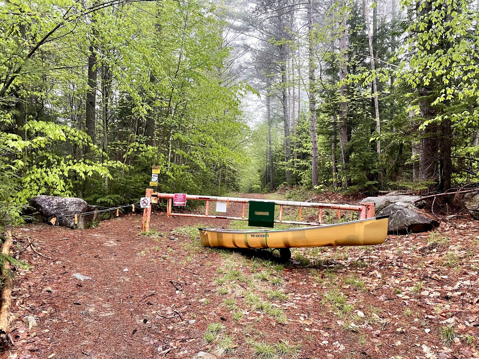
The gate on Overset Pond Lane is closed. I have to haul in all my equipment using my canoe wheels.


Overset Pond covers 18 acres and is located in Greenwood, Oxford County, Maine (see The Maine Atlas and Gazetteer map 10 C4). To reach this location, drive north on Route 219 (Greenwood Road) into Greenwood. Turn left on Patch Mountain Road and drive down this road for 0.5 miles. Then, turn right on Willis Mills Road and after 0.1 mile, turn right again on Overset Pond Lane. Note that the latter goes through privately-owned woodlands. The landowners allow public access via permissive trespass. However, they also installed a sturdy gate that is locked during mud season to prevent vehicles from destroying Overset Pond Lane. The sign says that the gate will be open on May 23. To reach the pond when the gate is locked (as it is for me today), leave your vehicle at the small parking lot by the gate and walk for about ¾ of a mile. Be aware that Overset Pond Lane is deceptively steep! It took me 30 minutes of serious huffing and puffing to pull up all my gear on my canoe wheels, but only 20 minutes to return back to the gate at the end of my trip. At some point, the lane bifurcates. Look for a small brown sign by the tree line on the left just passed the fork that says “Overset”. That’s the start of the 2.2 mile Overset Pond hiking trail which loops around the pond. It takes about 8 to 10 minutes to reach the access point from here (hang a left at the bifurcation on the trail at the southern tip of the pond). Note that this trail is too rough to accommodate canoe wheels. Hence, everything has to be carried in by hand from the road to the access point. I do have a sneaky, but unproven, suspicion that the gravel road to the left of the bifurcation may in fact extend to the access point which also has a campsite and a fire ring.

Continue reading

Digiprove sealCopyright protected by Digiprove

Fishing for brook trout on Keys Pond in Sweden, Oxford County, Maine (May 19, 2022)


The public access point is unimproved but could accommodate a small, trailered boat.


Keys Pond covers 192 acres and is located in Sweden, Oxford County, Maine (see The Maine Atlas and Gazetteer map 10E3). The public access is found at the northern tip, in the vicinity of the outlet. To reach this point, drive north on Plummer School Road, and turn left on Perry Hill Road. Stay on this road for 0.2 miles before turning left on Keys Pond Road. The access point is located 0.3 miles down that road on your left. Motorboats are not explicitly prohibited on this body of water but the town has established a voluntary engine size limit of 5 horse power. The launch is rough, narrow, a bit muddy, and sandy but could accommodate a small, trailered boat in a pinch. A limited area for rough parking is available next to the launch.


Continue reading

Digiprove sealCopyright protected by Digiprove

Fishing for splake on Shagg Pond in Woodstock, Oxford County, Maine (April 30, 2022)


The boat launch is spacious but unimproved.


Shagg Pond covers 64 acres and is located in Woodstock, Oxford County, Maine (see The Maine Atlas and Gazetteer map 11 A1). The public access point is found along the western shoreline right off Redding Road, also called Shagg Pond Road in Google Maps. The boat launch is sandy and unimproved but can accommodate trailed boats. Parking is limited to a few cars along the shoulder of the gravel road.


Continue reading

Digiprove sealCopyright protected by Digiprove

Fishing for brook trout on Clays Pond in Fryeburg, Oxford County, Maine (April 16, 2022)


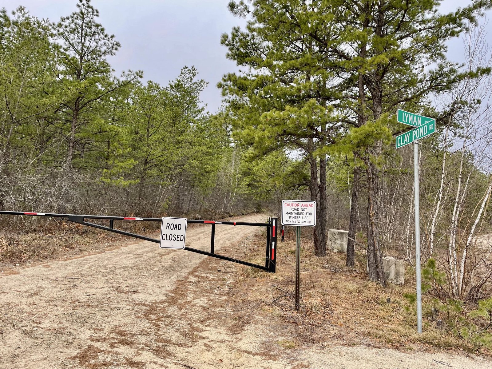
Clays Pond Road is closed to all vehicular traffic until May 15.


Clays Pond covers 21 acres and is located in Fryeburg, Oxford County, Maine (see The Maine Atlas and Gazetteer map 4 B1). The public access point is located on Clays Pond Road, which splits off from Lyman Drive connecting Route 5/113 to the Eastern Slopes Regional Airport. Beware that Clays Pond Road is a gated dirt road closed to all vehicular traffic until May 15, when mud season ends. It takes 10 to 15 minutes walking to reach the pond from the gate. The alternative access route via Farnsworth Road and Porter Road is also blocked off until May 15.


Continue reading

Digiprove sealCopyright protected by Digiprove