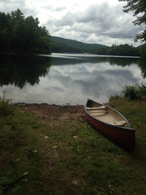
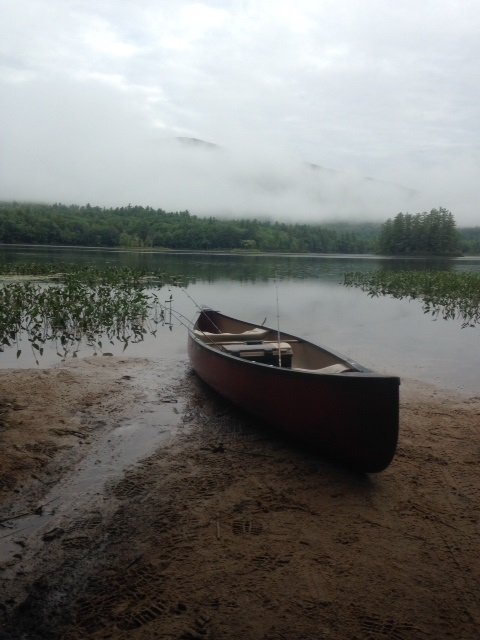
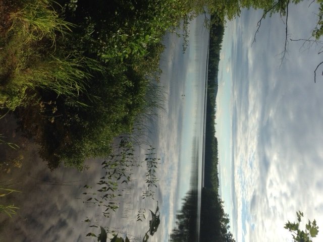
Ice fishing for largemouth bass on Island Pond in Waterford, Maine (March 14, 2015)

View Map

Island Pond is a 166 acre body of water located in Waterford, Oxford County (see The Maine Atlas and Gazetteer map 10 E5). The focus of my attention this morning is the long but narrow island found in the southern half of the pond. My aim is to put into practice some of the techniques discussed here in order to catch late-winter, pre-spawning largemouth bass. I’m particularly interested in the larger females which are heavy and bloated with eggs this time of the year. I surmise that the shoreline of the island, particularly the half facing west towards the deeper water, represents bass spawning habitat. If I’m correct, then the bass should be congregating along the drop-offs in front of those shallows like they typically do in late winter to prepare for the spring spawn. Click here for a depth map and more fisheries information. Note that the State has no size or bag limit for bass on this pond. I release all my bass but know from experience that this water body supports a serious largemouth bass population.


Continue reading

Digiprove sealCopyright protected by Digiprove
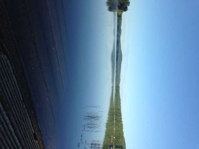
Largemouth bass fishing on Bickford Pond in Porter, Maine (September 6, 2014)

View Map


The access point is located at the southern end of Bickford Pond

The access point is located at the southern end of Bickford Pond


Bickford Pond is a 237-acre body of water nestled in southern Oxford County next to the New Hampshire border in Porter, Maine (see The Maine Atlas and Gazetteer map 4 C1). A sandy boat launch is located at the southern tip of the pond, next to the dam by the outlet. This rough launch can accommodate small trailered boats. It is accessible via Dam Road, which connects Bickford Pond Road with Colcord Pond Road. Both of these roads run along the western and eastern shores Bickford Pond, respectively.  Several cars can be parked in the boat launch area. Note that the Maine Atlas and Gazetteer does not identify this access point using its iconic boat symbol.


Continue reading

Digiprove sealCopyright protected by Digiprove
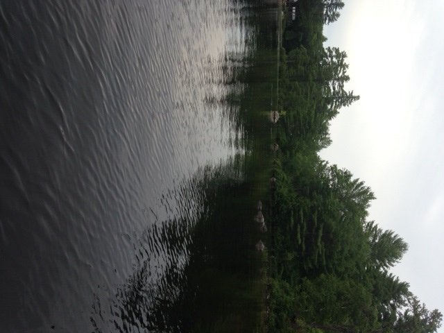
Largemouth bass fishing on Granger Pond in Denmark, Maine (September 6, 2014)

View Map


The access point to Granger Pond is sandy and steek

The access point to Granger Pond is sandy and steep


Granger Pond is a 125-acre body of water located in Denmark, Maine (see The Maine Atlas and Gazetteer map 4 B3). A rough town access point is located at the very southern tip of the pond, off Bushrow Road. Beware that the path connecting the road to the pond is quite steep and consists of a loose, sandy material full of small washout gullies. I do not dare drive my front wheel-drive car down to the pond because I’d get stuck in this loose material on my way back up. With the benefit of a 4X4, the launch could accommodate a small trailered boat in a pinch, but in my estimation should only be used to launch car-top craft, like canoes or kayaks. Cars can be parked on the shoulder of Bushrow Road.


Continue reading

Digiprove sealCopyright protected by Digiprove

Largemouth bass fishing on Ingalls Pond in Baldwin, Maine (August 30, 2014)

View Map


View of Ingalls Pond from the access point

View of Ingalls Pond from the access point


Ingalls Pond is a 25-acre body of water located in Baldwin, Maine (see the Maine Atlas and Gazetteer map 4 C3). The pond is located immediately to the left of Route 113 (looking north). A smaller lobe of the pond, which I did not visit, is located to the right of this road (again, looking north). A traditional access point is situated off Route 113. This launch can only accommodate hand-carried craft. Parking is either in the woods right next to the access point or on the shoulder by the road.


Continue reading

Digiprove sealCopyright protected by Digiprove

Largemouth bass fishing on Black Pond in Porter, Maine (August 30, 2014)

View Map

View of Black Pond from the boat launch. Note the dense lily pads.

View of Black Pond from the boat launch. Note the dense lily pads.

Black Pond is a 50-acre body of water located in Porter, Maine (see the Maine Atlas and Gazetteer map 4 D2). Drive north on School Street from Route 160/25 in South Hiram. The name of this road changes to Spec Pond Road at some point before it weaves between the two Spectacle Ponds. Regardless, stay on this road until you pass house number 413 on the left. Several 100 ft beyond (and after driving 2.5 miles from Route 160/25) turn left on Old Meetinghouse Road. Beware that the street marker for this road is missing and it is therefore easy to drive right by it. The pond will appear on the left after 0.6 miles. A hard boat launch is located about 100 ft past the two big culverts that run underneath the road. The launch is tight but can accommodate a trailered boat. Parking is limited along the unimproved shoulders of the road.


Continue reading

Digiprove sealCopyright protected by Digiprove

Largemouth bass fishing on Big Clemons Pond in Hiram, Maine (August 23, 2014)

View Map

View of Big Clemons Pond from the public access point

View of Big Clemons Pond from the public access point

Big Clemons Pond is an 85-acre body of water located in Hiram, Maine (see The Maine Atlas and Gazetteer map 4 C2). From Hiram, drive north on Routes 5/113 (Pequawket Trail). After about 2 miles, turn left on Notch Road. Drive 2.5 miles down this road and turn right on Clemons Cove Road. The access point is 0.2 miles on the left, immediately past “Neighbors Way”.  Note that both The Maine Gazetteer and the Maine Department of Inland Fisheries and Wildlife indicate the presence of a hard-surface boat launch at this location. What I found was a public launch area that can only accommodate small hand-carried craft, such as a kayak or canoe; a couple of cars can be parked on the grass on the side. I suspect that the actual boat launch is located nearby but that I missed it.


Continue reading

Digiprove sealCopyright protected by Digiprove

Largemouth bass fishing on Beaver Pond in Denmark, Maine (August 23, 2014)

View Map


The access point on Beaver Pond with view of the large island and a hint of Pleasant Mountain in the background

The access point on Beaver Pond with view of the large island and a hint of Pleasant Mountain in the background


Beaver Pond is a 128-acre body of water located in Denmark, Maine (see The Maine Atlas and Gazetteer map 4 B3). The pond is situated off Denmark Road, which connects Route 302 (Bridgton Road) with Route 160 (West Maine Street). Public access is available at a town launch sited at the end of Beaver Pond Road. This dirt road is unmarked but can be found right next to house number 347 on Denmark Road (look for a red barn).  Note that this road is not named in the Maine Gazetteer but appears on the Google map at the top of this article. The pond is located 0.3 miles from the Denmark Road turnoff. The sandy launch can accommodate small trailered boats, but is best suited for hand-carried craft. Only a handful of cars can park “rough” in the woods around the launch.


Continue reading

Digiprove sealCopyright protected by Digiprove

Largemouth bass fishing on Island Pond in Harrison, Maine (August 16, 2014)

View Map

General view of Island Pond

General view of Island Pond

Island Pond is a 166-acre body of water which straddles the town lines of Harrison and Waterford, Maine (see The Maine Atlas and Gazetteer map 10 E5). The pond is located next to Temple Hill Road, off Route 117 (a.k.a. Norway Road). It has an unusually rectangular shape, with a long, narrow and rocky island at the southern end. Public access is available at a traditional carry-in situated on the western side of the pond after driving 0.5 miles on Island Pond Road. This access point is located right before the entrance to the Fernwood Cove Girl Summer Camp. Only hand-carried craft such as canoes or kayaks can be launched at this location due to the lack of a boat ramp. Several cars can park “rough” on the left-hand side of the road across from the access point.


Continue reading

Digiprove sealCopyright protected by Digiprove

Largemouth bass fishing on Sand Pond (a.k.a. Walden Pond) in Denmark, Maine (August 9, 2014)

View Map


View of Hancock Pond from the boat launch

View of Hancock Pond from the boat launch


Sand Pond (a.k.a. Walden Pond) is a 256-acre body of water located in Denmark, Maine (see The Maine Atlas and Gazetteer map 4 B3). It is accessible via an excellent hard-top boat launch located on next-door Hancock Pond. Both ponds are connected via a short (< 10 ft long) but shallow (< 1 ft deep) and rather narrow sandy thoroughfare. The lack of a public boat launch and the somewhat dicey way in via Hancock Pond, make it so that the pond is not overrun by fisherman.


Continue reading

Digiprove sealCopyright protected by Digiprove

Largemouth bass fishing on Moose Pond in Bridgeton, Maine (July 19, 2014)

View Map

View of the shoreline in the Upper Basin

View of the shoreline in the Upper Basin

Moose Pond is a 1,694-acre body of water which straddles the towns of Denmark and Sweden in Oxford County, and Bridgeton in Cumberland County (see The Maine Atlas and Gazetteer Map 4 A&B3). An excellent hard-top boat launch is located on Route 302 on the eastern end of the causeway. A second hard-top boat launch (which I did not visit) is located at the southern end of the lake off Denmark Road in Denmark, less than a mile north of Route 160 (a.k.a. West Main Street; see the Maine Atlas and Gazetteer map 4 B3). I also noticed what appears to be a dirt launch for canoes and kayaks facing the Upper Basin on the wooded island which links to Route 302 about halfway down the causeway.  Moose Pond is a highly-popular regional destination for both open-water fishing in the spring, summer, and fall and for ice fishing in the winter. It consistently yields serious lake trout and landlocked salmon every year, particularly through the ice, but also during spring trolling. The largemouth and smallmouth bass populations are robust enough to support tournament fishing.


Continue reading

Digiprove sealCopyright protected by Digiprove