Largemouth bass fishing on Webster’s Mill Pond, Limington, Maine (July 12, 2014)

View Map


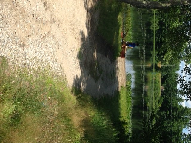
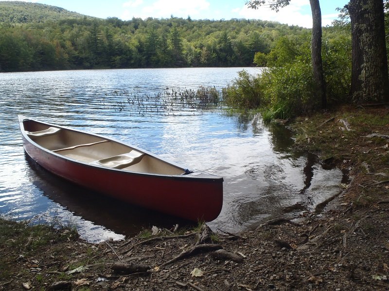
The sandy boat launch of Webster's Mill Pond could accommodate small trailered boats

The sandy boat launch of Webster’s Mill Pond can accommodate small trailered boats


Webster’s Mill Pond (also known as North Limington Pond) is a 40-acre body of water located in Limington, Maine (see The Maine Atlas and Gazetteer map 4 D4). The pond, which sits at the intersection of Route 11 (Sokokis Avenue) and Route 25 (Ossipee Trail), is easily reached from Route 11. An unimproved sandy boat launch allows access to small trailered boats. The section of the pond along Route 11 is a popular spot to fish from shore. However, the most productive approach by far is to fish from a small craft.


Continue reading

Digiprove sealCopyright protected by Digiprove

Smallmouth bass fishing on Dundee Pond, Windham, Maine (July 12, 2014)

View Map

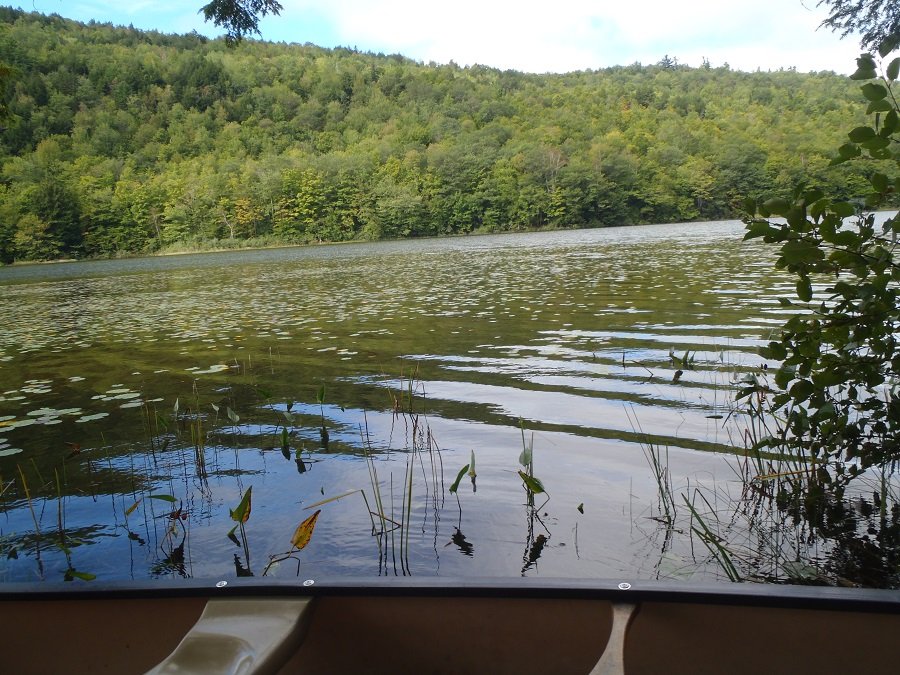
General view if Dundee Pond: calm, serene, and all to ourselves!

General view if Dundee Pond: calm, serene, and all to ourselves!

Dundee Pond is a 197-acre body of water located in Windham and Gorham, Maine (see The Maine Atlas and Gazetteer map 5 D2). A public launch is located off Windham Center Road right below the North Gorham Pond Dam in Windham. This access point has parking for about eight cars but can only accommodate hand-carried craft. The stretch of water between the launch and the pond itself consists of about a quarter mile of the Presumpscot River. The current is steady and relatively strong which requires kayakers and canoeists to paddle their way back up after they’re done fishing on the pond. An alternative approach, which bypasses this flowing water altogether, is to launch an hand-carried craft from the sandy beach at Dundee Park located at the end of Dundee Road off River Road in Windham. The park is open from 8 am until sunset but charges an entry fee of $4 per adult (12 years and older) and $2 per child (2 to12 years). Click here for more information. I also attempted to access the pond at the Dundee Pond dam located at the end of Dundee Road (off Hurricane Road in Gorham) but turned around when I noticed that the road was posted as “no trespassing”.


Continue reading

Digiprove sealCopyright protected by Digiprove

Largemouth bass fishing on Alewife Pond, Kennebunk, Maine (June 29, 2014)

View Map


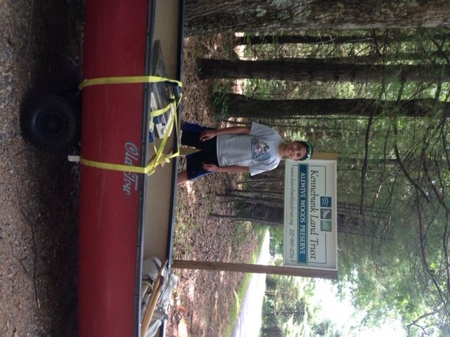
The entrance marker on Cole Road to the Alewife Woods Preserve

The entrance marker on Cole Road to the Alewife Woods Preserve


Alewife Pond is a 37-acre body of water located in Kennebunk, Maine (see The Maine Atlas and Gazetteer map 2 C5). The pond is accessible by driving north on Cole Road from Alfred Road for about 0.6 miles, and turning right on the Alewife Woods Preserve (look for the sign on the right of the road). Leave your car at the small parking lot about 300 ft in. The 625-acre Preserve is owned and managed by the Kennebunk Land Trust. The Preserve is well worth a visit for its quiet, wooded and isolated setting within a short drive of several popular nearby coastal resorts. It has 2.5 miles of easy trails to support outdoors activities in the summer (e.g., walking, bird watching, dirt biking) and winter (e.g., snow shoeing and cross-country skiing). Fires, motorized vehicles, and camping are not allowed. Click here for more information on the Preserve.


Continue reading

Digiprove sealCopyright protected by Digiprove

Largemouth bass fishing on Otter Pond, Bridgton, Maine (June 14, 2014)

View Map


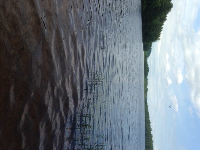
General view of Otter Pond from the launch area

General view of Otter Pond from the launch area


Otter Pond is a 90-acre body of water located in Bridgton, Maine (see The Maine Atlas and Gazetteer map 4 A4). To access the pond, turn right on Otter Pond Road after driving about 4 miles north on Route 302 from Naples. The pond will appear on your left after about 0.2 miles. Note that this “road” is quite rough and eroded, with rocks and small boulders sticking out left and right. I’m able to get through with my front-wheel drive car, but only slowly and very carefully… This pond provides a real sense of isolation and remoteness, which is remarkable considering that it is located but a few of miles outside of both Naples and Bridgton. Only two or three houses are visible from the water. The surrounding landscape is completely forested, with Mount Henry keeping watch in the background.


Continue reading

Digiprove sealCopyright protected by Digiprove

Largemouth bass fishing on Burnt Meadow Pond, Brownfield, Maine (June 14, 2014)

View Map


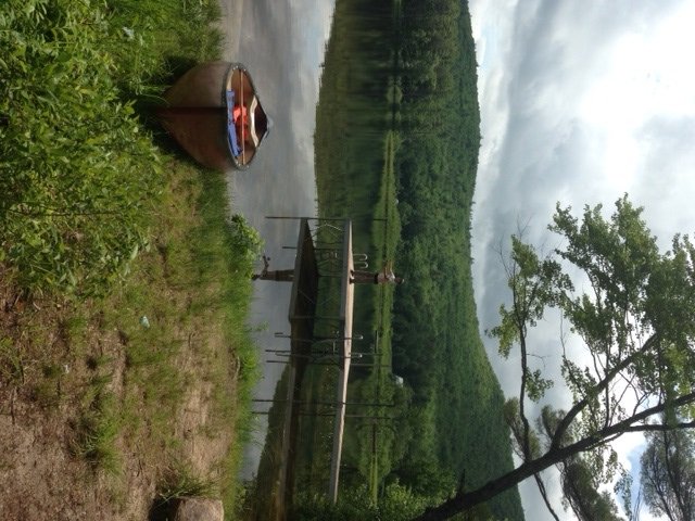
View of the town beach area on Burnt Meadow Pond

View of the town beach area on Burnt Meadow Pond


Burnt Meadow Pond is a 69-acre body of water located in Brownfield, Maine (see The Maine Atlas and Gazetteer map 4 B2). The easiest access is via the excellent boat launch located off Route 160 (Spring Street) which runs parallel to the shoreline along the western side of the pond. An alternative access point, but only for small hand-carried craft, is from the town beach off Burnt Meadow Road (follow the blue signs for “town beach”) located by the outlet at the northern end of the pond. About a dozen houses dot the shoreline, mostly along the northern shore. The setting is actually quite pleasing with Burnt Meadow Mountain looming in the background. The surrounding watershed is completely forested.


Continue reading

Digiprove sealCopyright protected by Digiprove

Ice fishing for smallmouth bass on Trickey Pond, Naples, Maine (March 29, 2014)

View Map

General view of Trickey Pond with cloud "mountains" in the background

Early morning view of Trickey Pond looking north with “cloud mountains” in the background

Trickey Pond covers 311 acres and is located next to Route 114 in Naples, Cumberland County (see The Maine Atlas and Gazetteer map 4 B5). Click here for a depth map and more fisheries information. Access to this pond is via a hard-top boat launch off Route 114. Beware that this launch is not typically plowed in the winter and that a 4X4 vehicle is required if you plan on driving down towards the pond. Limited parking is possible along the shoulder on Route 114. Trickey Pond contains exceptionally clean water (the pond is entirely spring-fed) and provides a smorgasbord of sport fish species. It supports a well-known regional salmonid fishery consisting of landlocked salmon, splake, and brook trout. But it also has an abundant smallmouth bass population of exceptional size and quality. It is these fish that I’m targeting today.

Continue reading

Digiprove sealCopyright protected by Digiprove

Ten fabulous largemouth bass ponds in southern Oxford County, Maine

Fishing for largemouth bass is a cherished summer activity for many fishermen in Maine. The desired quietness and loneliness, however, can be rudely impacted by the unwelcome hustle and bustle of jet skiers, swimmers, speed boaters, other fishermen, or general shore activity. My goal was to find, and share with you, hidden largemouth bass fishing spots scattered throughout southern Oxford County, defined here as that part of the county situated south of the Androscoggin River. I focused on smaller ponds less than about 50 acres in size, located mostly off the beaten track but still readily accessible by car (no need for 4X4 driving or hiking through the woods!). I also avoided ponds with excessive shore development. A small motorized boat could be launched on a few of these ponds, but most are fishable only by hand-carried craft, such as a canoe or kayak. This selection process ensures that you will likely be fishing all by yourself in unspoiled, quiet, natural surroundings. The ponds are also small enough that they can be covered in a lazy afternoon or a long summer evening. Finally, I fished each one of them to ensure that they contain largemouth bass, which they did!  Click here for an overview of the lures I like to use on these fish. I’ve also identified fabulous largemouth bass ponds in York County, Cumberland County, and south coastal Maine.

Continue reading

Digiprove sealCopyright protected by Digiprove

Largemouth bass fishing on South Pond in Buckfield, Maine (September 14, 2013)

View Map

View of South Pond from the rough launch

View of South Pond from the rough launch

South Pond is a 49-acre body of water located in Buckfield, Maine (see The Maine Atlas and Gazetteer map 11 C3). Drive east on Route 117 towards Buckfield, pass Sodom Road, and turn right on John Ellingwood Road after another mile or so. Go down this hard-top road for 0.1 mile and take the dirt road on the right (going straight will put you into a municipal parking lot). Drive down this remarkably-straight dirt road for 1.5 miles. The pond and its access point will appear on the right. Another access point is located at the end of the pond further down the dirt road.  Only small hand-carried craft, such as a canoe or kayak, can be launched from either access points. A public boat launch is not available.


Continue reading

Digiprove sealCopyright protected by Digiprove

Largemouth bass fishing on Mud Pond in Greenwood, Maine (September 14, 2013)

View Map

View of Mud Pond from the rough boat launch

View of Mud Pond from the rough boat launch

Mud Pond is a 52-acre body of water located in Greenwood, Maine (see The Maine Atlas and Gazetteer map 10 C5). Drive north on Greenwood Road towards the town of Greenwood. The pond will appear to the left side, right next to the road. The unimproved access point is located through a copse of trees. Parking is on a small grassy area alongside the road. Only small hand-carried craft, such as a canoe or kayak, can be launched from this point. A public boat launch is not available.


Continue reading

Digiprove sealCopyright protected by Digiprove

Eight fabulous largemouth bass ponds in south coastal Maine (Androscoggin, Sagadahoc, and Lincoln Counties)

Fishing for largemouth bass is a cherished summer activity for many fishermen in southern Maine. The desired quietness and loneliness, however, can be rudely impacted by the unwelcome hustle and bustle of jet skiers, swimmers, speed boaters, other fishermen, or general shore activity. My goal was to find, and share with you, hidden largemouth bass fishing spots scattered throughout Androscoggin, Sagadahoc, and Lincoln Counties. I focused on smaller ponds less than about 50 acres in size, located mostly off the beaten track but still readily accessible by car (no need for 4X4 driving or hiking through the woods!). I also avoided ponds with excessive shore development. A small motorized boat could be launched on a few of these ponds, but most are fishable only by hand-carried craft, such as a canoe or kayak.

Continue reading

Digiprove sealCopyright protected by Digiprove