Largemouth bass fishing on No Name Pond in Lewiston, Maine (August 15, 2015)

View Map

A pretty view of No Name Pond from the access point off No Name Pond Road

A pretty view of No Name Pond from the access point off No Name Pond Road

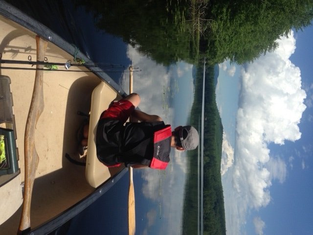
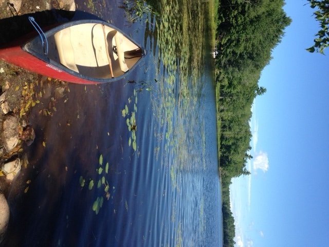
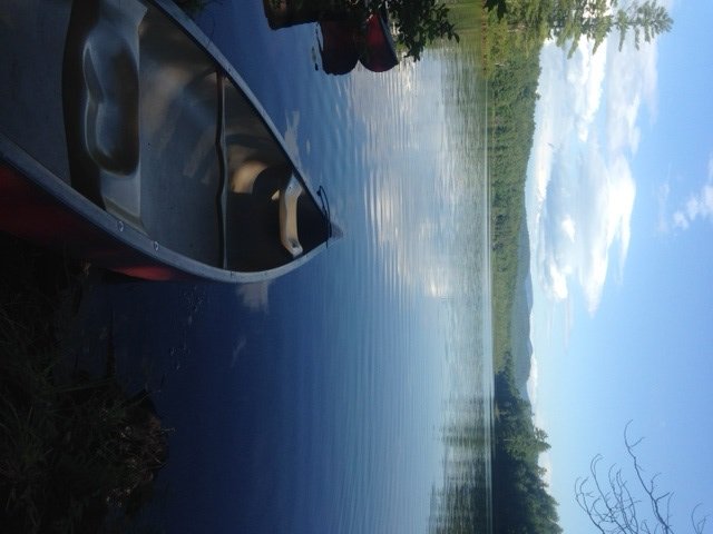
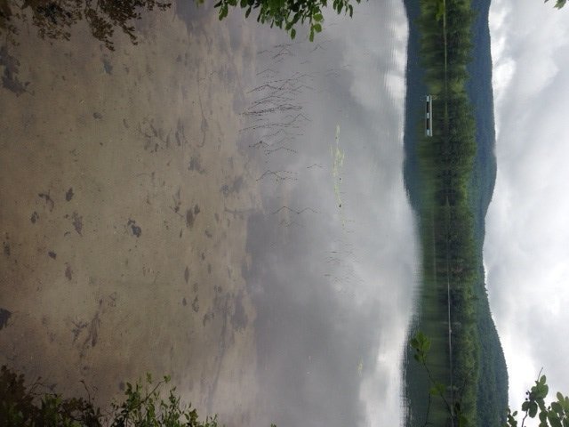
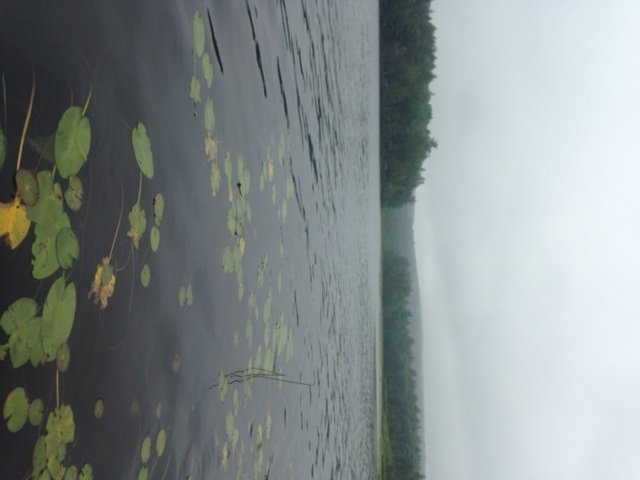
No Name Pond is a 143-acre body of water located in Lewiston, Androscoggin County (see The Maine Atlas and Gazetteer map 12 E1). This pond, which is located just west of Sabattus Pond, can be accessed at its northern end via No Name Pond Road. The access point is rather puzzling. The No Name Pond Association prominently displays several large “Private Property” signs along the shoreline. Yet, an obvious access point connects the road to the lake. A second access point less than 100 ft from the first one has large boulders in front of it. A road sign next to the first access point displays information about removing milfoil from boats before launching, strongly suggesting that this is indeed a public launch. But it also states that parking is prohibited alongside the road between April 15 and November 15 and that violators will be towed… The Maine Atlas and Gazetteer displays a symbol indicating a hand-carry boat launch site at this location. I was unable to find more information on the Internet to clarify this rather perplexing situation. My assessment is that this launch is a legitimate public access point, although I don’t understand the no parking rule (my car was not towed…). Keep in mind that the unimproved launch can only accommodate hand-carried craft.


Continue reading

Digiprove sealCopyright protected by Digiprove

Largemouth bass fishing on Heald Pond in Lovell, Maine (August 1, 2015)

View Map

Heald Pond is gorgeous and quiet

Heald Pond is gorgeous and quiet

Heald Pond is an 80-acre body of water located in Lovell, Oxford County (see The Maine Atlas and Gazetteer map 10 D2). The unimproved public boat launch is found on Slab City Road (off Route 5) at the southern tip of the pond in the narrow and shallow outlet by the dam. It can accommodate small trailered boats with outboard engines. Keep in mind though that the State of Maine fishing regulations prohibit the use of engines over 6 horsepower on this pond. Also, beware that the boat launch is rather steep and gravelly. Ample parking is available next to the launch. A nice bonus of the engine size restriction is that the pond lacks power boats and jet skis, and that the fishermen largely have the place to themselves.


Continue reading

Digiprove sealCopyright protected by Digiprove

Largemouth bass fishing on Travel Pond in Jefferson, Maine (August 8, 2015)

View Map

View along the western shoreline of Travel Pond from the access point by Route 17

View along the western shoreline of Travel Pond from the access point by Route 17

Travel Pond is a 102-acre body of water located in Jefferson, Lincoln County (see The Maine Atlas and Gazetteer map 13 C3). The pond can be accessed via an unimproved and muddy launch right off Rockland Road (Route 17). This launch can only accommodate hand-carried craft. Cars can be parked “rough” along the shoulder of Route 17. The pond is surprisingly shallow given its sizeable surface area, with a maximum and mean depth of 6 ft and 5 ft, respectively. The substrate is mostly sandy with a thin layer of organic muck on top. The surface water is rather cloudy and tea colored. The bottom, at least along the western shoreline, is carpeted with aquatic plants which, to my great surprise, do not breach the surface of the water. In fact, given the extreme shallowness of this pond, one would expect it to be covered with stands of lily pads and other emergent vegetation. Yet, none are visible in the lake, except for relatively sparse aquatic vegetation along the shoreline. Besides the luxuriant submerged plant life, the other structural habitat present in this pond is quite limited, consisting of a handful of lay-down trees that poke into the water from the shoreline.


Continue reading

Digiprove sealCopyright protected by Digiprove

Largemouth bass fishing on Farrington Pond in Lovell, Maine (August 1, 2015)

View Map

A gorgeous view of Farrington Pond with White Mountain National Forest as a backdrop

A gorgeous view of Farrington Pond with White Mountain National Forest as a backdrop

Farrington Pond is an 89-acre body of water located in Lovell, Oxford County (see The Maine Atlas and Gazetteer map 10 D1). The pond, which is just north of the lower bay of Kezar Lake, is situated off F Road, which itself is located off West Lovell Road. Beware that the sign for F Road consists only of a small ivory white placard with the letter “F” on it. Next to it is a bigger painted wooden sign that reads “Timber Bay Shores; Private Road”, which throws me off because it makes it sound like F Road is a private road. However, I check with a local resident who assures me that F Road is public, which turns out to be the case. The public access point is clearly marked and located 0.3 miles down F Road on the right (just past Lady Slipper Drive). The launch itself is about 400 ft from the wooded parking area down a rough forest trail. Only hand-carried crafts can be launched from that spot. The parking area is in the woods and can accommodate several cars.


Continue reading

Digiprove sealCopyright protected by Digiprove

Largemouth bass fishing on Hutchinson Pond in Albany Township, Maine (July 25, 2015)

View Map

View from the launch of Hutchinson Pond with the mountains in the background

View from the public access point of Hutchinson Pond with the mountains in the background. She is pretty!

Hutchinson Pond is a 93-acre body of water located in Albany Township, Oxford County (see The Maine Atlas and Gazetteer map 10 C4). The pond can easily be accessed by driving down Hutchinson Pond Road (off Hunts Corner Road) for exactly 1.4 miles. The state-leased public access point is marked on the left of the road by a small Maine Department of Inland Fisheries and Wildlife sign.  The pond is reachable via a rough 150-ft tote trail which can only accommodate small hand-carried craft, such as a canoe or kayak. A few cars can be parked along the shoulder of the road next to the access point. Hutchinson Pond is quite a beauty! It is framed along the northeastern horizon by three tall hills, namely Lovejoy Mountain (1792 ft), Peabody Mountain (1575 ft), and Patch Mountain (1565 ft). The watershed is completely forested. Parts of the shoreline are moderately developed, supporting less than two dozen houses and summer cottages. One thing strikes me immediately upon arrival: none of the docks jutting out into the water display power boats, jet skis or pontoon boats! I assume that’s due to a lack of a boat launch, which limits the release and retrieval of these larger craft. It also means guaranteed peaceful quietness for property owners and fishermen alike.


Continue reading

Digiprove sealCopyright protected by Digiprove

Largemouth bass fishing on Marshall Pond in Hebron, Maine (July 18, 2015)

View Map

General view of Marshall Pond

General view of the upper half of Marshall Pond looking north

Marshall Pond (a.k.a. Matthews Pond) is a 142-acre body of water located in the towns of Hebron and Oxford, Oxford County, Maine (see The Maine Atlas and Gazetteer map 11 D2&3). The pond is situated at the end of Marshall Pond Road, off Merrill Hill Road. Public access is available at an unimproved boat launch found right next to the cement dam at the end of Marshall Pond Road. This sandy launch can accommodate small trailered boats. A handful of cars can be parked on a small grassy clearing next to the launch. The pond is an impoundment of Dunham Brook which has its source at Hall Pond further upstream. Marshall Pond is another one of those gorgeous little gems that few people know about, even though it is located no more than a dozen miles west of the Lewiston-Auburn area. About two dozen houses are scattered along its shoreline. Most are discreetly tucked into the surrounding woods and are barely visible from the water. A number of unobtrusive docks jut into the pond, but none of them displays large power boats or jet skis, providing a sense of quietness and peace. The surrounding landscape is completely forested and green.


Continue reading

Digiprove sealCopyright protected by Digiprove

Basic lures for largemouth bass fishing

Largemouth bass fishing is a favorite pastime for many people in the summer. The tackle industry has eagerly responded to this pent-up demand by developing a bewildering variety of lures to catch these fish. Anyone who has ever visited a ProBass or Cabela’s store knows what I’m talking about. If we multiply the several dozen bass lure types by their hundreds of variations, one ends up with many thousands of different kinds of lures!! That is enough to give anyone an instant head ache. I also suspect that more than a few of these lures are designed to hook fishermen more than the fish they seek to catch…

Yet, out of all this clutter emerge five proven lures which have worked time and time again for me. Keep in mind that most largemouth bass fishing occurs in relatively shallow water (say, less than 10 ft) rich with structure, such as aquatic vegetation, submerged wood, boulders, sunken reefs, and/or docks. Most of the lures discussed below are designed to operate in such an environment. What follows is a summary overview of these basic lures and how best to use them. I’ve arranged the presentation in the order in which I spend my time fishing with these lures. Keep in mind that this information is based largely on personal experiences. I do most of my bass fishing on relatively small ponds and lakes which experience low fishing pressure. So I can get away with using bolder lures that might scare away wearier bass in more heavily-fished areas. Regardless, don’t be shy and try different variations on a lure until you find the one that works for you. Keep in mind that more often than not, whether a particular lure “works” often depends on the confidence the fisherman has in that lure. And that confidence can only be gained by going out on the water, wetting the line, and letting the fish tell you what works best!

Continue reading

Digiprove sealCopyright protected by Digiprove

Smallmouth bass fishing on the Androscoggin River, Lisbon Falls, Maine (June 13, 2015)

General view of the Androscoggin River below the Pejepscott boat launch

General view of the Androscoggin River below the Pejepscott boat launch

I’m taking my 12-year old nephew Christian fishing on the Androscoggin River today. One of my preferred spots on this delightful water body is the stretch that runs from the Lisbon Falls Hydrodam, located just upstream of the bridge that carries Route 125 over the river, down to the Pejepscot Hydrodam located about 3 miles further downstream (see the Maine Atlas and Gazetteer map 6 B2). The Pejepscot hard-top boat launch right before the entrance to Lisbon Falls off Route 196 (driving north) provides easy access to the river with plenty of parking. This strectch of river is also a favorite of canoeists and kayakers because the current is relatively slow, except for about 1000 ft or so below the Lisbon Falls Hydrodam. The setting downstream of the boat launch is also gorgeous, with nothing but trees lining both banks of the river. The stretch upstream of the boat launch is more build-up but represents prime smallmouth habitat (more about that later). We start with focusing our attention further downstream in the hope of catching northern pike.


Continue reading

Digiprove sealCopyright protected by Digiprove

Smallmouth bass fishing on Panther Pond, Raymond, Maine (May 8, 2015)

View Map

The eastern shoreline of Panther Pond, with Betty's Neck in the left background.

The eastern shoreline of Panther Pond, with Betty’s Neck in the left background.

Some of the best smallmouth bass fishing on Maine lakes occurs in mid-spring when the fish are moving in-shore to prepare to lay their eggs. Typical smallmouth bass spawning habitat consists of a clean, rocky and bouldery shoreline in 2 to 10 ft of water, with easy access to nearby deeper water. The fish start moving in these shallows when the water temperature reaches the low 50’s in early May. Actual spawning typically starts towards the end of May when the water temperature hovers between the high 50’s and mid 60’s. The smallmouths feed aggressively in May in order to fatten up in preparation for the spawn. The goal, therefore, is to position oneself at the right place and the right time, using the right lure and the right fishing technique, in order to take advantage of this short window of opportunity.


Continue reading

Digiprove sealCopyright protected by Digiprove

Ice fishing for splake and smallmouth bass on Trickey Pond in Naples, Maine (March 29, 2015)

View Map

Trickey Pond is a 311 acre pristine body of water located next to Route 114 in Naples, Cumberland County (see The Maine Atlas and Gazetteer map 4 B5). I have fished this pond numerous times in the past (for recent examples, click here and here) and have invariably found it … trickey and unpredictable! The fishing can be really slow but also rewarding for those who are willing to put in the time and learn its secrets. Today is my last day of the 2015 hard water season. The past winter was long, cold, brutal, and snowy. We experienced what folks around here call a good ole Maine winta! I’m fishing this morning for a couple of hours but have also organized a picnic for later on today on this pond with about 25 friends and family members. The purpose of our get-together is to shake off “cabin fever”, celebrate the end of the cold season and welcome in the start of spring.


Continue reading

Digiprove sealCopyright protected by Digiprove