Brook trout and landlocked Atlantic salmon fishing on Pierce Pond, Pierce Pond Township, Maine (May 25 and 26, 2015)

View Map

Click here for details on the first two days of this awesome trip.


Day 3: Monday May 25, 2015
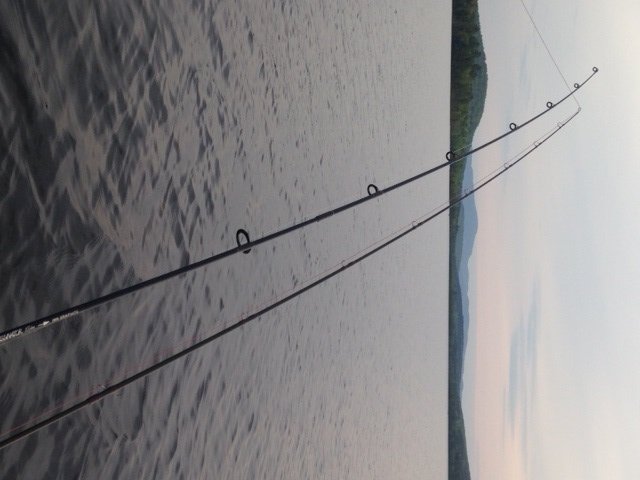
 

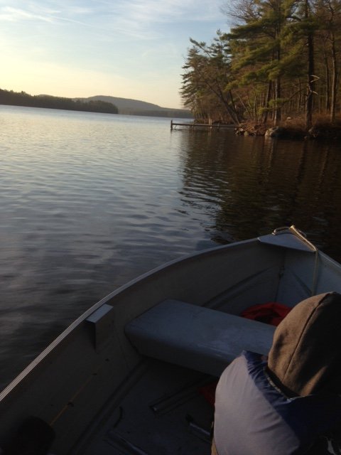
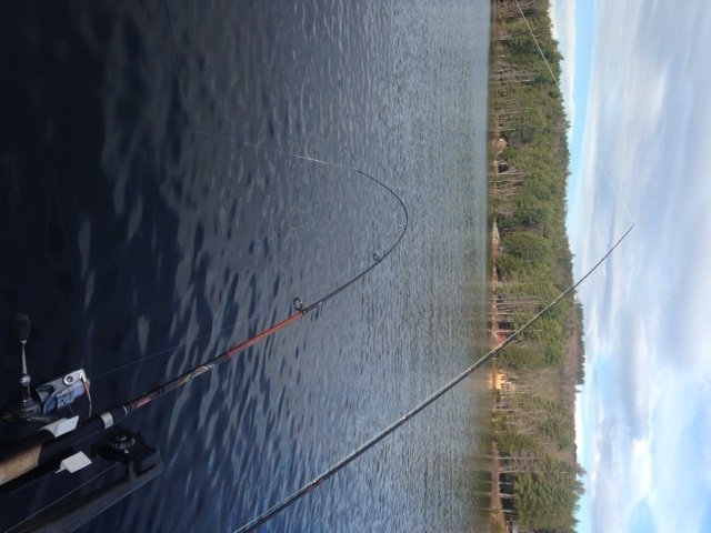
Lower Pierce Pond looks gorgeous in the early-morning light

Lower Pierce Pond looks gorgeous in the early-morning light

My alarm goes off at 4:30 am, beckoning me out of bed for another morning troll. I wake up Salvy, who is a trooper this year by deciding to join me at this ungodly hour. Incidentally, we dress up almost like we’re going ice-fishing. The outside temperature is in the low to mid 40’s. We need to seriously layer up because we’re still half asleep, haven’t had breakfast yet or drank any hot beverages (and the Jägermeister shots are dispensed AFTER breakfast, not before!!) and are going to sit motionless in a small boat on a cold lake for the next two hours. We leave the dock at 5 am. The sky is completely overcast but it is fortunately wind still. I cherish these early mornings with my nephew: it gives us a chance to talk about our work, our families, our future plans. But we’re also here for business! We both use two rods: one is connected to a small portable downrigger attached to the side of my boat, while the other consists of a lead core line. Each rod is also fishing two different lures, with the back lure connected to the hook of the front lure by about two ft of monofilament. The down rigger rod uses two spoons (typically some kind of Mooselook and DB smelt) and the lead core rod uses two streamer flies (a combination of the Grey Ghost, Governor Aiken, or Winnipesaukee Smelt). This approach puts a total of eight lures in the water anywhere from 5 ft to 15 ft deep and allows us to cover a lot of terrain. Note that I don’t put the streamer flies on the down rigger. Instead, I like to fish these lures using my lead core line because I can hold the rod and constantly move (“rip”) the line back and forth to provide action and erratic movement to the flies. The spoons, on the other hand, provide their own twisting movement, even when dragged along attached to a 5-lb lead weight. My rod connected to the downrigger starts shaking 20 minutes into the troll. I set the hook and bring in a baby 14” salmon. That, unfortunately, is the only action we see until our return at the dock by 7 am. But at least I won’t be skunked today!


Continue reading

Digiprove sealCopyright protected by Digiprove
Brook trout and landlocked Atlantic salmon fishing on Pierce Pond, Pierce Pond Township, Maine (May 23 and 24, 2015)

View Map

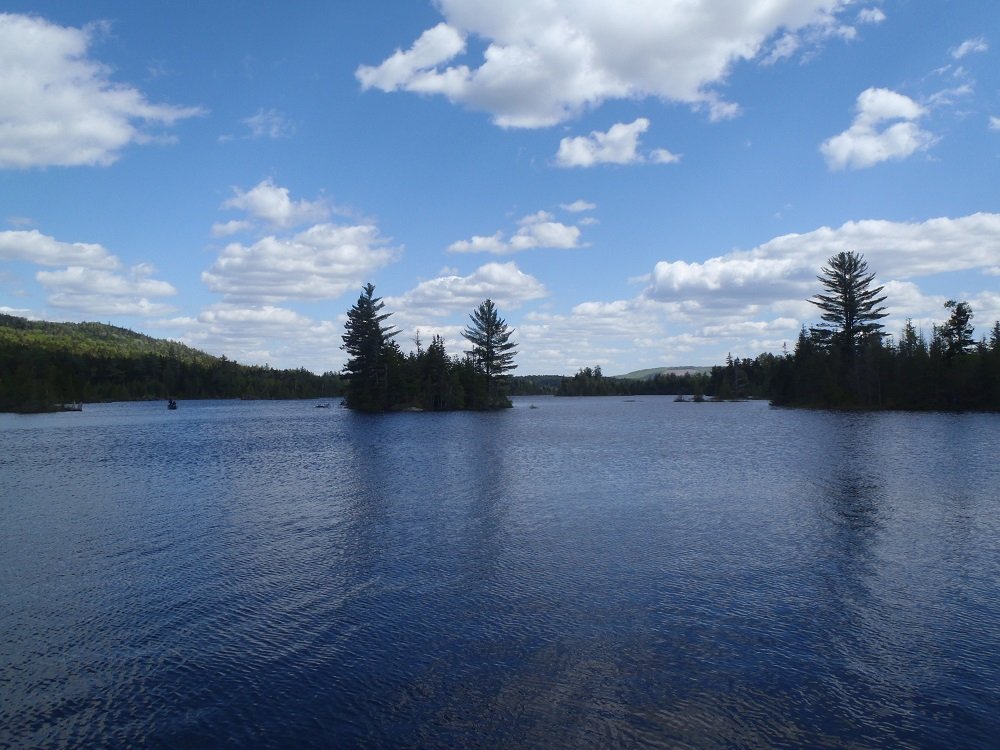
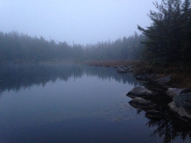
Middle Pierce Pond in all its glory

Middle Pierce Pond in all its glory

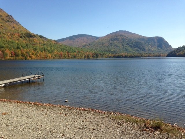
Pierce Pond is a 1,650-acre gem of a lake nestled in the mountains of central Somerset County (see the Maine Atlas and Gazetteer map 30 A2). It consists of three basins (lower, middle and upper) connected by shallow, boulder-infested thoroughfares. The water is crystal clear and its quality is superb. The local brook trout population is entirely native and robust. Trout well into the 3 lbs are not uncommon. The State also stocks landlocked Atlantic salmon, which creates a lively fishery, although those fish rarely exceed 4 lbs, and most stay below 3 lbs. Click here for a depth map and more fisheries information. The fishing rules are strict, as follows: (a) the pond is closed to ice fishing; (b) the pond is open to fishing from May 1 to September 30; (c) only artificial lures are allowed; (d) the daily bag limit on trout is two fish with a minimum length of 10” and only one of which may exceed 12”; and (e) no size or bag limit on lake trout. Click here for more details on the regulations. This water body is completely surrounded by a protected forested watershed. Hence, civilization intrudes minimally. The entire shoreline is deeply wooded and not a single dock or house is visible anywhere, except for Cobb’s Camp where we will be staying for the next four days.  Our hosts provide us with a comfortable log cabin, a warm bed, a flush toilet, a hot shower, a cozy wood stove, and three square meals a day! Our one and only job while in this enchanted place is to fish until we drop dead from exhaustion!


Continue reading

Digiprove sealCopyright protected by Digiprove

Brown trout fishing on Crystal Lake, Gray, Maine (May 30, 2015)

View Map

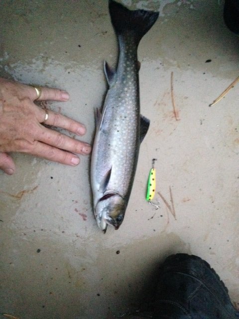
General view of Crystal Lake

General view of Crystal Lake

Crystal Lake (a.k.a. Dry Pond) is a 189-acre body of water located in Gray, Cumberland County, Maine (see The Maine Atlas and Gazetteer map 5 B3). This relatively small lake is heavily developed, particularly along its western shoreline, but sustains a popular regional salmonid fishery consisting of rainbow trout, brown trout and brook trout. The state stocks the lake annually with these three species to sustain their populations. It is also the location for a popular annual ice fishing derby (click here for more details) attended by several thousand people each year. A hard-top boat ramp is located at the southern end of the lake off Mayberry Road. The town of Gray also maintains a public beach and swimming area right next to this ramp. Ample parking is available across from the launch. All in all, this lake is a busy spot but well worth a visit in the spring on account of its superb trout fishing. I’ll note here that, in the past, I have caught rainbow trout trolling on this water body well into July, which is evidence of the high quality of this fishery. Crystal Lake has a maximum and average depth of 59 ft and 25 ft, respectively. Click here for a depth map and more fisheries information.


Continue reading

Digiprove sealCopyright protected by Digiprove

Smallmouth bass fishing on Panther Pond, Raymond, Maine (May 8, 2015)

View Map

The eastern shoreline of Panther Pond, with Betty's Neck in the left background.

The eastern shoreline of Panther Pond, with Betty’s Neck in the left background.

Some of the best smallmouth bass fishing on Maine lakes occurs in mid-spring when the fish are moving in-shore to prepare to lay their eggs. Typical smallmouth bass spawning habitat consists of a clean, rocky and bouldery shoreline in 2 to 10 ft of water, with easy access to nearby deeper water. The fish start moving in these shallows when the water temperature reaches the low 50’s in early May. Actual spawning typically starts towards the end of May when the water temperature hovers between the high 50’s and mid 60’s. The smallmouths feed aggressively in May in order to fatten up in preparation for the spawn. The goal, therefore, is to position oneself at the right place and the right time, using the right lure and the right fishing technique, in order to take advantage of this short window of opportunity.


Continue reading

Digiprove sealCopyright protected by Digiprove

Lake trout fishing on Sebago Lake, Maine (May 2, 2015)

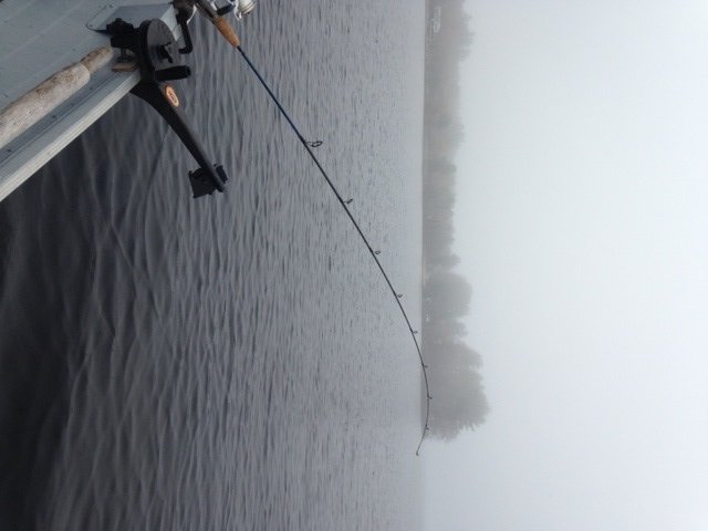
Fog does a great job keeping the light levels low

Fog does a great job keeping the light levels low

Ice-out on Sebago Lake in the spring of 2015 occurred on April 21. Shortly thereafter – typically within 10 to 14 days after ice out – the rainbow smelt start congregating at the mouth of the major lake tributaries in preparation for their annual upstream spawning migration. The smelt, which are cold water-loving and pelagic (i.e., deep-water) creatures, are particularly vulnerable to predation during this period. The reason is that they are confined to relatively narrow and shallow areas while waiting for the right conditions to occur before swimming up the tributaries. And just as predictably, the landlocked Atlantic salmon and lake trout are in hot pursuit to gorge themselves on their favorite prey. This unique set of behaviors creates a golden opportunity each spring, which lasts about two to three weeks after the start of the smelt migration, to catch salmon and lake trout in shallow waters without the need of much specialized equipment. The combination of cold oxygenated water right up to the surface combined with an abundant food source disappears by mid-May, after which both prey and predators continue their endless game of hide and seek in the profundal zones of Lake Sebago where they are much more difficult to find, target, and catch.


Continue reading

Digiprove sealCopyright protected by Digiprove

Landlocked Atlantic salmon fishing on Peabody Pond, Sebago, Maine (April 25, 2015)

View Map

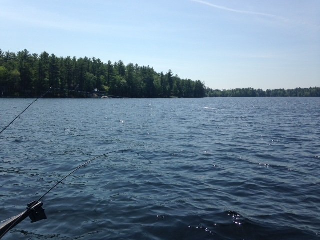
Tandem fishing on Peabody Pond with a downrigger and lead core line.

Tandem fishing on Peabody Pond with a downrigger and lead core line.

Peabody Pond is a 735-acre body of water located in the town of Sebago in Cumberland County (see the Maine Atlas and Gazetteer map 4 B4). Access is via a hard-top municipal boat launch located next to Peabody Pond Road off Route 107. The launch is situated next to the pond’s major outlet, which forms the source of the Northwest River linking Peabody Pond to Sebago Lake. This launch is spacious and can accommodate substantial vessels. Be aware, however, that launching and retrieving can become a real challenge later on in the spring when the water levels drop due to the shallowness of the launch area. The pond is moderately developed along its western shoreline, but otherwise provides a rather remote setting with Bald Pate Mountain as a lovely backdrop.


Continue reading

Digiprove sealCopyright protected by Digiprove

Native brook trout fishing in Baxter State Park: Day 5 (September 30, 2014)

This blog is a continuation of this blog.


DAY 5: From Russell Pond to the Roaring Brook camp ground

View Map

Deep Pond in the early morning fog and mist

Today is unfortunately the last of our memorable five-day Baxter State Park through-hike and native brook trout fishing trip. It is also the last day of the 2014 fishing season in the park. After spending a warm and dry night in the bunk house at the Russell Pond camp site, I get up once more at the crack of down to fish Deep Pond. This water body covers 8 acres and is located an easy 15-20 minute hike from Russell Pond (see the Maine Atlas and Gazetteer map 51 B1). It has a maximum and mean depth of 19 ft and 9 ft, respectively, and is home to an abundant, but stunted, native brook trout population. The water is clear and the shoreline is completely forested. The pond develops an oxygen deficiency in the summer at depths of 12 ft or more which forces the trout to reside in the upper half of the water column during the warm season. Deep Pond could actually be fished comfortably from shore by kids using bobbers and worms.  An enormous flat rock sits at the water’s edge by the canoe launch and can easily accommodate several people. Good casting would place the bait, or a lure, close to the center of the pond. The daily bag limit on trout is five fish with a minimum length limit of 6”. Use or possession of life baitfish is prohibited, but dead fish, salmon eggs, and worms are allowed as bait. Click here for more information on the fishing regulations. Click here for a depth map and more information on the pond and its fisheries.

Continue reading

Digiprove sealCopyright protected by Digiprove

Native brook trout fishing in Baxter State Park: Day 4 (September 29, 2014)

This blog is a continuation of this blog.


DAY 4: Upper South Branch Pond to Russell Pond


This native brookie for my "psychedelic" spoon

This fat native brookie fell for my “psychedelic” spoon

The cold front, which announced itself yesterday evening, definitely arrived overnight. The wind is blowing hard from the northwest and the sky is completely overcast with a low cloud deck shrouding the nearby Traveler Mountains. But that doesn’t stop me from crawling out of my tent at the crack of dawn for a morning troll on Upper South Branch Pond using lead core line. I’d like to repeat the experience from last evening by catching another brookie. I do hesitate for a moment about fishing alone when I get to the lake shore: paddling the canoe by myself into the stiff wind will be quite a chore. But what the heck: how often do I get to fish this gorgeous pond? I’m richly rewarded in three ways for my tenacity. I land a healthy 13” native brook trout after about 30 minutes trolling with two spoons fished in tandem one color down (just like yesterday evening). I also experience a unique sound effect: the resident loon calls out twice in a row as I pass it by; its haunting song echoes off the surrounding rock cliffs! I stop paddling to soak in this precious moment… Finally, I see a dark shape ambling in the shallow water along the southern (downwind) shoreline of the lake as I troll back towards my starting point. It’s a young bull moose grazing on the aquatic vegetation! Wow, that’s really awesome except that the wind is pushing me straight in the direction of the animal. The canoe acts like a sail whenever I try to turn it sideways… Then one of my lures decides to hang up on the bottom. F*ck!!  I paddle backwards like a madman to retrieve my lures and then turn the canoe sideways and paddle like a maniac to stay away from the moose but parallel to the shoreline. Fortunately, the beast gives me a long dumb look, completely ignores my grunts and paddling shenanigans, and slowly moves on. It’s now 6:50 am and I don’t have the strength left in my arms to battle upwind for another round. I call it good, glad to have caught two nice brook trout in less than 1.5 hours of trolling between yesterday evening and this morning.

Continue reading

Digiprove sealCopyright protected by Digiprove

Native brook trout fishing in Baxter State Park: Day 3 (September 28, 2014)

This blog is a continuation of this blog.


DAY 3: Middle Fowler Pond to Upper South Branch Pond


A gorgeous view of the Traveler Mountains from the north shore of Lower South Branch Pond

A gorgeous view of the Traveler Mountains from the north shore of Lower South Branch Pond

The brook trout fishing on Middle Fowler Pond was so incredible yesterday evening that I decide not to fish the same pond again this morning. Instead, we rise at 7 am and get ready for our first “real” hike of our five-day trans Baxter State Park adventure. The trail from our current camp site to the large camp ground at Lower South Branch Pond is only about 5 miles. However, the first half consists of gaining about 1,000 ft to cross over Burrell Ridge. That represents a serious physical effort considering that our backpacks weigh over 40 lbs… We leave Middle Fowler Pond around 9:30 am and have lunch on top of the ridge by noon. The view from up there towards the opposite cliffs is beautiful, but we don’t have a ton of time to waste. Soon, we’re on our way down and reach the ranger station at the outlet of Lower South Branch Pond by 1:30 pm. Our camp site for tonight is located another 2 miles away, at the southern tip of Upper South Branch Pond. That site does not have a canoe. So we rent one from the ranger (we’ll bring it back tomorrow morning), load it up with our gear, and paddle upwind towards the thoroughfare that links the two ponds. We portage the canoe for about a quarter mile to pass the shallow thoroughfare. Note that it is possible to pull the canoe through it as we did in 2012, but at the risk of getting wet feet. Reaching the camp site on Upper South Branch Pond by canoe from the ranger station takes less than one hour.

Continue reading

Digiprove sealCopyright protected by Digiprove

Native brook trout fishing in Baxter State Park: Day 2 (September 27, 2014)

This blog is a continuation of this blog.

DAY 2: Long Pond to Middle Fowler Pond


Today is definitely the “laziest” of our five hiking days. We have to walk for about 2 miles, i.e., no more than one hour, in order to reach our next camp site on Middle Fowler Pond. Hence, we don’t feel the rush to get going this morning. Joel and Salvador are sleeping in, whereas I have a hot date with High Pond (see the Maine Atlas and Gazetteer map 51 A1). I crawl out of my tent at 6 am, well before sunrise, and walk to the canoe storage place. I unlock the canoe and drag it over the spit of land separating Long Pond from High Pond, and gently lower it into the water.

Continue reading

Digiprove sealCopyright protected by Digiprove