Native brook trout fishing in Baxter State Park: Day 1 (September 26, 2014)

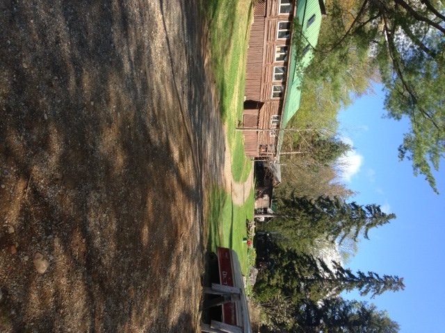
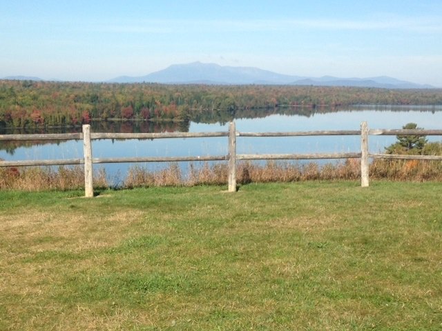
View of Mount Katadhin from south of Millinocket, Maine

View of Mount Katadhin from south of Millinocket, Maine


Baxter State Park (BSP) is the crown jewel of the Maine state park system. Tens of thousands of nature lovers every year make the pilgrimage to northern Maine to enjoy its outstanding beauty. Most people, however, enter this natural wonder at the south end of the park and head straight for Mount Katadhin and its legendary Knife’s Edge, the most spectacular 1.5 mile trail in the northeast. But there’s so much more to BSP than Katadhin! In an effort to expand our horizons and combine our favorite outdoors activities (i.e., hiking, camping, and brook trout fishing), my son Joel and I decided in September 2012 to hike and fish our way across BSP starting at Trout Brook Farm by Matagamon Gate in the north all the way across to Roaring Brook in the south. This adventure was cut short on the third day due to an unfortunate foot injury.


The five blogs that follow tell the story of the successful completion of this trip, which took place between September 26 and 30, 2014. Joel and I were joined by my nephew Salvador on our adventure. The blogs will not repeat all of the background information on how to reserve camp sites at BSP, rent canoes for fishing, identify brook trout ponds, obtain maps, or select hiking trails.

Continue reading

Digiprove sealCopyright protected by Digiprove

Trout and salmon fishing on Pierce Pond, Pierce Pond Township, Maine (May 24 to 27, 2014)

View Map

Cobb's Camp, our headquarters for the next four days

Cobb’s Camp, our headquarters for the next four days

This blog continues the story started here. Salvi and Bill arrive at Cobb’s Camp on Lower Pierce Pond on Saturday morning at 11:30 am for our annual, 4-day fly fishing extravaganza. We all love staying at Cobb’s this time of year to take advantage of the may fly hatches which typically peak on this lake during the long Memorial Day weekend. We move in our own log cabin featuring a warm bed, a wood stove, electric power, running water, a hot shower, and a toilet. Not bad for a near-wilderness setting far off in the Maine woods! Our hosts also serve us three square meals, which includes a bagged lunch to take with us on the water.


Continue reading

Digiprove sealCopyright protected by Digiprove

Trout and salmon fishing on Pierce Pond, Pierce Pond Township, Maine (May 22 to 24, 2014)

View Map

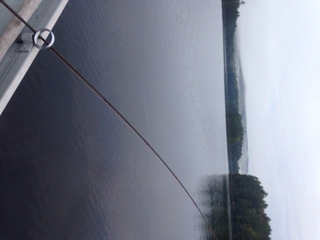
Upper Pierce Pond all to myself during my early-morning troll

Upper Pierce Pond is all mine during my early-morning troll

Pierce Pond is a gem of a lake nestled in the mountains of central Somerset County (see the Maine Atlas and Gazetteer map 30 A2). It consists of three basins (lower, middle and upper) connected by shallow, boulder-infested thoroughfares. The water is crystal clear and its quality is superb. This water body, which covers 1,650 acres, is completely surrounded by a protected forested watershed. Hence, civilization intrudes minimally, except for a few grand-fathered camps in Lindsay Cove. The entire shoreline is deeply wooded and not a single dock or house is visible anywhere, except for Cobb’s CampClick here for a depth map and more fisheries information.


Continue reading

Digiprove sealCopyright protected by Digiprove

Trout fishing on Otter Pond #2, Standish, Maine (November 10, 2013)

View Map

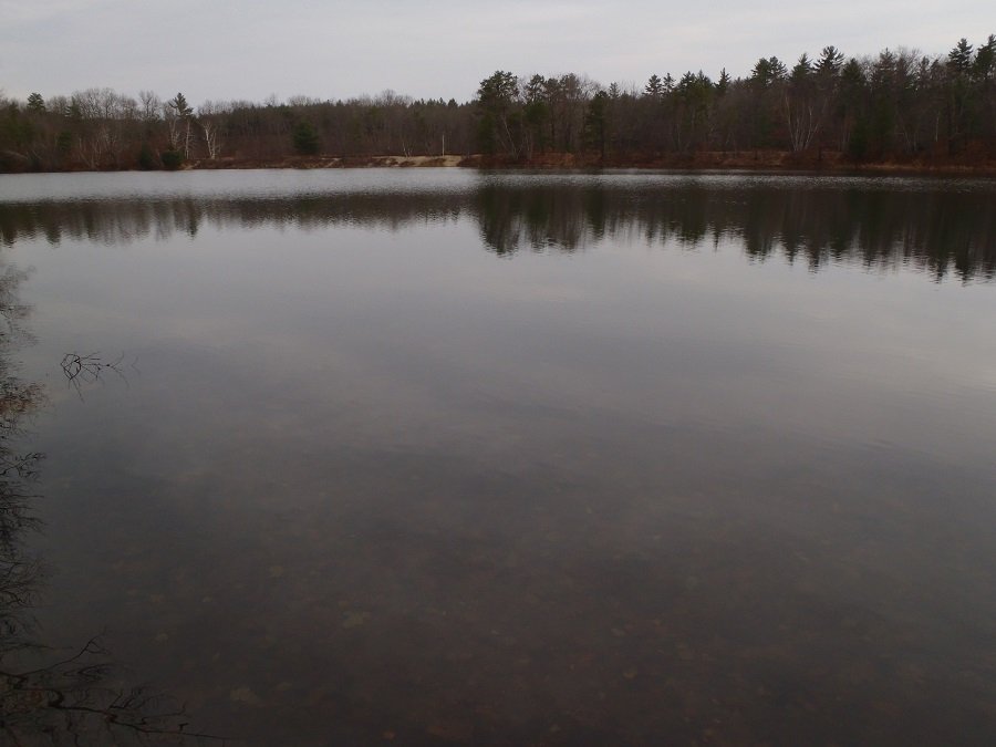
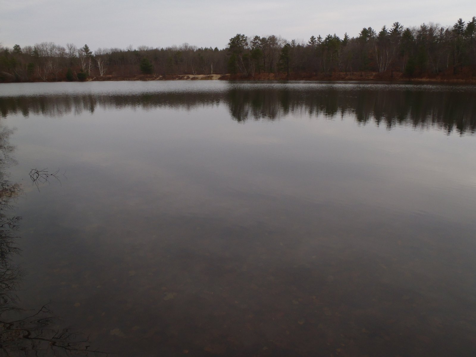
General view of Otter Pond #2

General view of Otter Pond #2

Otter Pond #2 is a 12-acre body of water located in Standish, Maine (see The Maine Atlas and Gazetteer map 5 D1; note that on the Google map above, Otter Pond #2 is the pond just below the one indicated by the red pin). Read this blog for directions on how to access this pond. Otter Pond #2 is a widely popular spot for early ice fishing, but gets little or no pressure in the fall after it is stocked for the winter season.  My son Joel and I arrive at the largest of the two parking lots off Route 35 by 8:15 am. As expected, we’re all by ourselves, which suits us just fine. We place his canoe on canoe wheels, load up the car battery, electric trolling engine, and our fishing gear in the boat, and haul everything down the Mountain Division Trail to our destination. I checked the stocking report on-line the day before; the State released a truckload of brookies in this pond last week which should make for good fishing.

Continue reading

Digiprove sealCopyright protected by Digiprove

Trout fishing on Otter Pond #2, Standish, Maine (April 14, 2013)

View Map

Otter Pond #2 is a 12-acre body of water located in Standish, Maine (see The Maine Atlas and Gazetteer map 5 D1). My son Joel and I arrive at the largest of the two parking lots off Route 35 by 7:15 am. We place his motorized canoe on canoe wheels, load up the engine and our fishing gear in the boat, and haul everything for about a mile down the Mountain Division Trail. Click here for a depth map and more fisheries information. We were quite successful catching trout on this pond in November of last year (click here and here for more details) and are looking for a repeat this time.  The state stocked this water body on Tuesday April 9, 2012 with lots of 10” brookies, but spiced up the action with much larger 16” brookies, which are the focus of our attention today.


Continue reading

Digiprove sealCopyright protected by Digiprove

Landlocked salmon fishing on Sebago Lake, Maine (April 7, 2013)

View Map

Sebago Lake (see The Maine Atlas and Gazetteer map 5 C1) is the largest lake in southern Maine and the second largest one in the state. This body of water is well known throughout the region for its superb landlocked salmon and lake trout fishery. The fishing strategy today is to troll along the northern shore of the lake, between Thompson’s Point and Cub Cove, in the general area of Sebago Lake State Park where the Crooked River enters the lake. The north shore is a popular early-season spot to catch landlocks and lakers: these fish are eagerly chasing after schools of rainbow smelt which are getting organized in that general area to migrate up the Crooked River for their annual spring spawning runs. 

Continue reading

Digiprove sealCopyright protected by Digiprove

Lake trout fishing on Sebago Lake, Cumberland County, Maine (December 2, 2012)

View Map

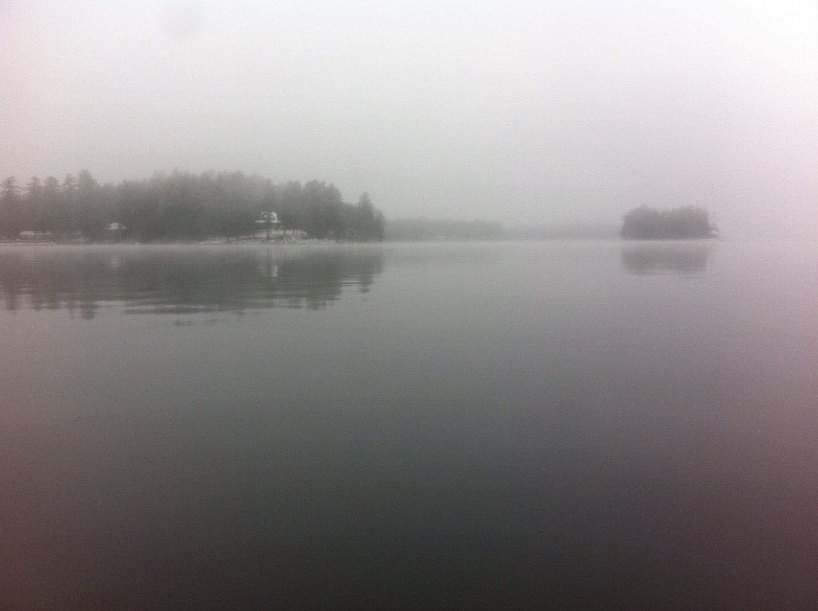
A cool, foggy, and drizzly morning on Sebago Lake

Sebago Lake (see The Maine Atlas and Gazetteer map 5 C1) is considered a prime landlocked salmon fishery in southern Maine. The state enhances the natural reproduction that occurs in its main tributary, the Crooked River, by stocking the lake with juvenile salmon annually in the spring. I arrive at East Sebago off Route 114 at 7:10 am to meet up with my son Joel. We are going to troll for landlocked salmon and lake trout above and around the sunken ridge that lays about 1.5 miles due east of East Sebago. This large structure, which rises from >100 ft deep and levels off about 35-40 ft below the surface of the water, is a well-known “fish attractor”. The morning is cool, foggy, and drizzly, which suits us just fine. The air temperature is in the low 30’s but there’s hardly any wind. We don’t see another soul on the lake. It looks like everyone else has stored their rods, even though there is still plenty of opportunity for open-water action even this late in the season… We select slender silver-and-blue DB Smelt spoons which have worked well for us on Sebago Lake in the past, and use downriggers to bring them to the right depth.


Continue reading

Digiprove sealCopyright protected by Digiprove

Trout fishing on Cold Rain Pond, Naples, Maine (November 25, 2012)

View Map

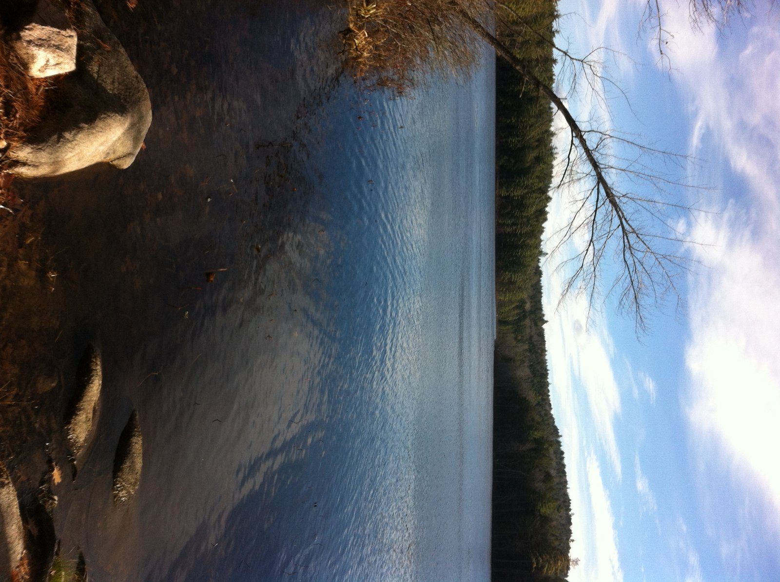
View of Cold Rain Pond from the public access point

Cold Rain Pond is located in Naples (see The Maine Atlas and Gazetteer map 4 B5). Access to this pond is as follows: hang a left onto Kimball Corner Road when driving north on Route 114/11 in North Sebago. Turn left on Tiger Hill Road after just over 3 miles. This road is located across from Lake House Road (look for the sculptures of three black bears). The access point to the pond, which is on the left after about 0.5 mile, consists of an unimproved launch which cannot accommodate trailered boats. Be aware that Tiger Hill Road is rough, rutted, and bouldery, and may require a 4X4 vehicle.


Continue reading

Digiprove sealCopyright protected by Digiprove

Trout fishing on Otter Pond #2, Standish, Maine (November 18, 2012)

View Map

Joel and I decide to again visit Otter Pond #2 in Standish (see The Maine Atlas and Gazetteer map 5 D1) after our successful trout fishing experience last week (click here on how to access this 12-acre pond). The Department of Inland Fisheries and Wildlife nicely stocks the pond with a truckload of brook trout each spring and fall. Click here for a depth map and more fisheries information.

Continue reading

Digiprove sealCopyright protected by Digiprove

Trout fishing on Otter Pond #2, Standish, Maine (November 11, 2012)

View Map

General view of Otter Pond #2, with the railroad tracks in the background

Otter Pond #2 is located in Standish (see The Maine Atlas and Gazetteer map 5 D1). This pond is one of four small ponds located right off Route 35 (Chadbourne Road).  Access to the pond is on foot from the two parking lots located on either side of the bridge over the old railroad tracks. The shortest way in is to walk about a quarter mile on the tracks until the pond appears on the right.  Joel and I instead take the long way in (> 0.5 mile), via the Mountain Division Trail which starts at the largest of the two parking lots. We are wheeling Joel’s canoe, and all our fishing gear, on this nice gravel road which passes next to Otter Pond #2. Our goal today is to troll for trout.


Continue reading

Digiprove sealCopyright protected by Digiprove