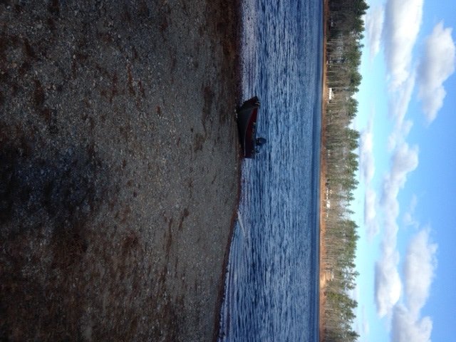
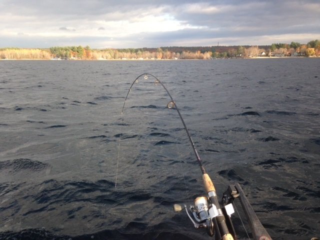
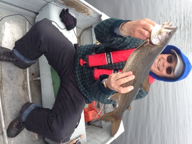
Brook trout and landlocked Atlantic salmon fishing on Pierce Pond, Pierce Pond Township, Maine (May 26, 2016)

View Map

Click here for the story from the previous day


Day 2: Thursday May 26, 2016
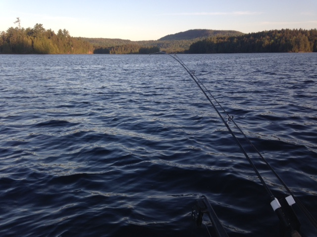
 

Good morning, Pierce Pond!

Good morning, Pierce Pond!

I drag myself out of my sleeping bag at 4:30 am for early-morning trolling. I like fishing at the crack of dawn because the bite can be quite good before the sun rises and drives the fish deeper. The weather is beautiful, with light wind, temps in the mid 50’s and full visibility. Regardless, I’m dressed like I’m going ice fishing. I know from experience that I feel cold this early in the day because I’m still half asleep, move little, and haven’t had breakfast or a hot beverage. All my efforts are for naught though because I do not get a single hit in the next two hours, either on the streamer flies or the Mooselook Wobbler spoons. Regardless, I deeply enjoy my “alone” time and like the experience of seeing a new day emerge from the night. I return to camp by 7 am. Joel and I prepare breakfast, which for me consists of a healthy portion of pancakes, scrambled eggs, and pork patties, washed down by two cups of hot tea. I’m fully awake now!


Continue reading

Digiprove sealCopyright protected by Digiprove
Brook trout and landlocked Atlantic salmon fishing on Pierce Pond, Pierce Pond Township, Maine (May 25, 2016)

View Map

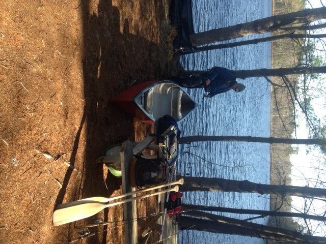
Pierce Pond is a 1,650-acre gem of a lake nestled in the mountains of central Somerset County (see the Maine Atlas and Gazetteer map 30 A2). It consists of three basins (Upper, Middle, and Lower Ponds, arranged from north to south) connected by two shallow, boulder-infested thoroughfares. The surface water is crystal clear and its quality is superb. The local brook trout population is entirely native, wild and robust. Trout well into the 3 lbs. are not uncommon. The State also stocks landlocked Atlantic salmon, which creates a lively fishery, although those fish rarely exceed 4 lbs., and most stay below 3 lbs. Click here for a depth map and more fisheries information. The fishing rules are strict in order to protect the outstanding fishery, as follows: (a) the pond is closed to ice fishing; (b) the pond is open to fishing from May 1 to September 30; (c) only artificial lures are allowed; (d) the daily bag limit on trout is two fish with a minimum length of 10” and only one of which may exceed 12”; and (e) no size or bag limit on lake trout. Pierce Pond is completely surrounded by a protected forested watershed. Hence, civilization intrudes minimally. The entire shoreline is deeply wooded and not a single dock or house is visible anywhere, except for Cobb’s Camp where we will be staying for the second half of this trip.


Continue reading

Digiprove sealCopyright protected by Digiprove

Brook trout fishing on Chaffin Pond in Windham, Maine (April 16, 2016)

View Map

Chaffin Pond does not have a boat launch

Chaffin Pond does not have a boat launch

Chaffin Pond is a 13-acre body of water located in Donnabeth Lipman Park in Windham, Maine (see The Maine Atlas and Gazetteer map 5 C2). The entrance to this community park is clearly marked by a grey granite sign located next to the Sherman Williams paint store on Route 302 in downtown Windham. The pond forms the center piece of a 123-acre preserve, which provides ample parking, hiking trails, a small playground, and several picnic tables. It is hard to believe that this peaceful natural real estate co-exists with all the intense road traffic and commercial hustle and bustle on busy Route 302 just a few 100 ft away!


Continue reading

Digiprove sealCopyright protected by Digiprove

Brook trout fishing on Tyler Pond in Manchester, Maine (April 9, 2016)

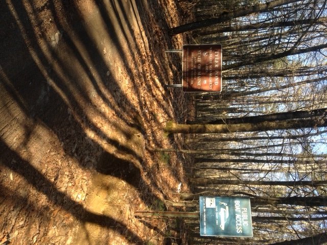
The entrance to Tyler Pond is clearly visible from Summerhaven Road

The entrance to Tyler Pond is clearly visible from Summerhaven Road

Tyler Pond is a 22-acre body of water located in Manchester, Kennebec County (see the Maine Atlas and Gazetteer map 12 B5). The clearly-marked public access point is reachable from Summerhaven Road. Two parking areas are available, depending on the season. The first one is in front of a gate. That gate is locked when I arrive. I suspect that one of its purposes is to prevent the public, during mud season, from driving down – and damaging – the dirt road linking the first parking lot to a second one located next to the pond. It takes about 10 minutes to walk from the gate to the pond (stay to the right when the gravel road splits about 1000 ft past the gate). Only hand-carried craft can be used on this water because a boat launch is not available. I choose this pond because it is well stocked with brookies (click here for details) and is managed to produce a trophy brook trout fishery. As a result, the fishing rules are strict: (a) the pond is closed to ice fishing, (b) only artificial lures are allowed, and (c) the daily bag limit on trout is two fish, with a minimum length of 12” and only one trout can exceed 14”.


Continue reading

Digiprove sealCopyright protected by Digiprove

Brook trout fishing on Kimball Pond in Vienna, Maine (April 2, 2016)

View Map

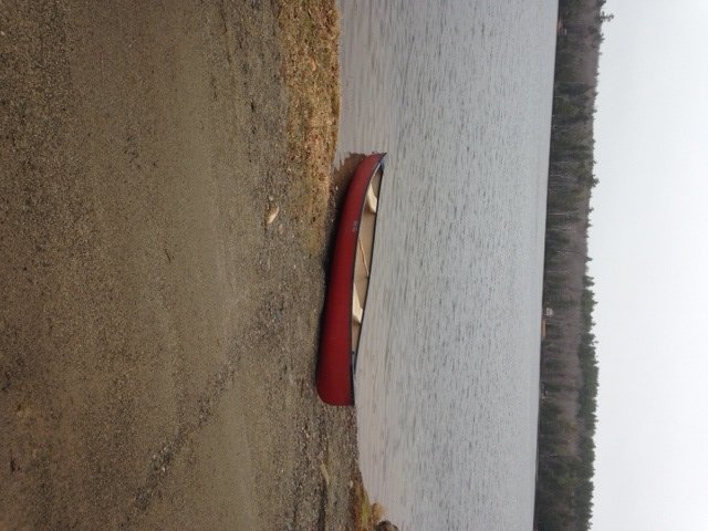
View of Kimball Pond from the rough boat launch

View of Kimball Pond from the rough boat launch

Kimball pond is a 55-acre body of water located in the town of Vienna in the far northwestern fringes of Kennebec County. The public access point is located off Kimball Pond Road. It consists of a rough unimproved boat launch best used for dispatching a canoe or a kayak, although one could launch a small trailered boat in a pinch. I selected this pond because it is well stocked with brookies (click here for details) and is managed especially to produce a trophy brook trout fishery. As a result, the fishing rules are strict: (a) the pond is closed to ice fishing, (b) only artificial lures are allowed, and (c) the daily bag limit on trout is two fish, with a minimum length of 12” and only one trout can exceed 14”.


Continue reading

Digiprove sealCopyright protected by Digiprove

Trout fishing on Worthley Pond, Poland Spring, Maine (November 21, 2015)

View Map

The public launch on Worthley Pond can accommodate small trailered boats

The public launch on Worthley Pond can accommodate small trailered boats

Worthley Pond is a 42-acre body of water located in the town of Poland Spring, Androscoggin County (see The Maine Atlas and Gazetteer map 5 A3). To reach the public access point to this lake, turn east onto  Route 122 from Route 26 and drive for about 1.2 miles, passing the brown sign to Range Pond State Park, before turning right on Worthley Pond Road. Keep in mind that several portions of this access road are rather rough, but passable with a regular car. The boat launch itself is unimproved and sandy, but can accommodate small powered boats. Up to several cars can be parked opposite of the launch.


Continue reading

Digiprove sealCopyright protected by Digiprove

Trout fishing on Deer Pond, Hollis, Maine (November 14, 2015)

View Map

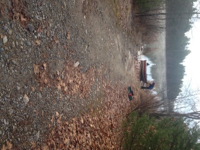
The boat launch with view of the northern shore

The boat launch of Deer Pond with a view of the northern shore

Deer Pond is a 32-acre body of water located in the town of Hollis, York County (see The Maine Atlas and Gazetteer map 2 A5). The town-owned access point, which is not shown on the map, is located at the southern end of the pond right off busy Route 117 (Cape Road). Driving east on Route 117, look for a long brown wooden fence on the left. The access point, which is not posted, is located on the left at the end of that fence. The gravel boat launch is quite adequate and can accommodate small trailed boats. Parking is on the shoulder of Route 117, and rather limited. I would not recommend leaving a vehicle in the access area due to the presence at the end of the boat launch of a surface water intake for fire-fighting purposes.


Continue reading

Digiprove sealCopyright protected by Digiprove

Lake trout fishing on Sebago Lake, Cumberland County, Maine (November 1, 2015)

The sun playing with shadows and the shoreline of Sebago lake

The sun painting shadows along the shoreline of Sebago lake

Sebago Lake is the Crown Jewel of southern Maine’s lake region. The two key salmonid species in this system are the landlocked Atlantic salmon and the lake trout. My goal this afternoon is to help my 12-year old nephew Christian catch a salmon! I haven’t introduced him yet to salmon fishing, but we’ve talked many times in the past about the exhilaration of hooking one of those beauties: the bite, the fight, the jumps, and the excitement of it all.  I’d love for him to make that experience, because he’s more than ready for it. I’ve trained him for a while now to fish with lead core line for white perch and bass. He has clearly shown the tenacity and shear doggedness required to troll the big water for landlocked Atlantic salmon.


Continue reading

Digiprove sealCopyright protected by Digiprove

Freshwater trolling 101: How deep do I need to go?

Your blog author with a small lake trout caught in Sebago Lake in late-April trolling 10 ft deep in 25 ft of water

Your blog author with a small lake trout caught in Sebago Lake in late-April trolling 10 ft deep in 25 ft of water

Trolling refers to a fishing technique where a lure or live/dead bait is positioned in the water column behind a boat and pulled forward by the movement of that boat, using lead core line and/or a downrigger. It is a highly-efficient approach to target certain fish species and cover a lot of water in ponds and lakes during the open-water season. One common question I get from novice trollers pertains to how deep they should place their lure or bait. The answer hinges on two key variables, namely: (a) the time of the year, and (b) the target species.

Continue reading

Digiprove sealCopyright protected by Digiprove

Lake trout fishing on Sebago Lake, Maine (July 4, 2015).

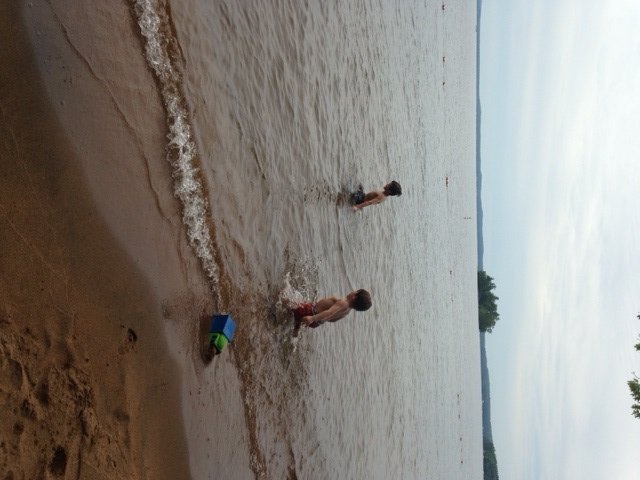
Splashing in the water at one of the beaches at Sebago Lake State Park

Splashing in the water at one of the beaches at Sebago Lake State Park

The glorious July 4th weekend is once again upon us all. My family is spending the long weekend camping at Sebago Lake State Park, located at the north end of Sebago Lake (see the Maine Atlas and Gazetteer map 4 C5). Things are quite hectic at camp, with the grandchildren running around, and the grilling, swimming, and socializing. My son Joel and I decide to get up at 5:30 am and sneak out for a couple of hours of lake trout fishing before the bulk of the family wakes up and gets ready for breakfast. At this time of the year, the lake trout have abandoned the warm shallow waters (click here for details) and seek refuge in the ice-cold waters (< 50°F) found below the thermocline. This layer represents the sharp temperature boundary between the less-dense warmer surface waters and the denser and much colder water in the deep zone. I do not know exactly how far down the Sebago Lake thermocline is located. A high-quality fish finder should show a faint line on the screen representing the boundary where the change in water density is most abrupt; my fish finder mustn’t be sensitive enough because I can’t pick up the thermocline…. Based on the presence of numerous fish marked in 40 to 80+ ft of water this morning, I’m guessing that the thermocline is around 30-40 ft deep, which makes sense based on a review of historic summer water-column temperature data for Sebago Lake published online. Note that the thermocline, once it is fully established in early summer, might move deeper by a few feet but is otherwise extremely stable and constant until late fall (with a few limnological exceptions, which I will not bore you with…).


Continue reading

Digiprove sealCopyright protected by Digiprove