Ice fishing for landlocked Atlantic salmon on Bear Pond in Waterford, Maine (January 8, 2017)

View Map

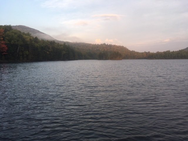
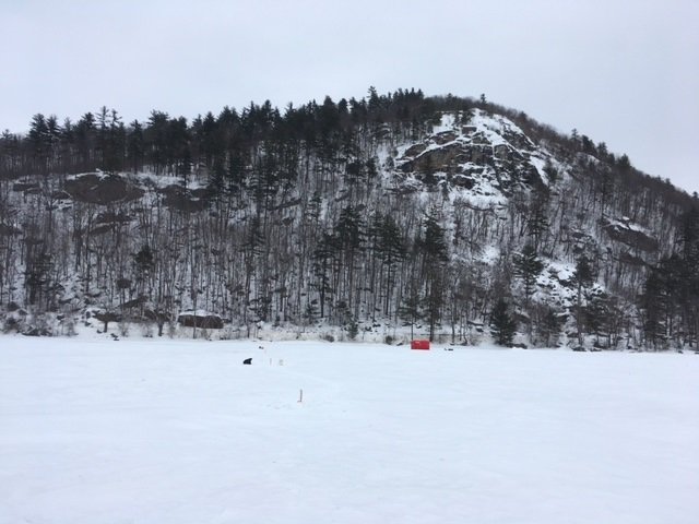
Bear Mountain looms large over Bear Pond. Route 35 runs along the base of this mountain.

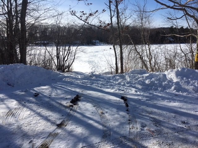
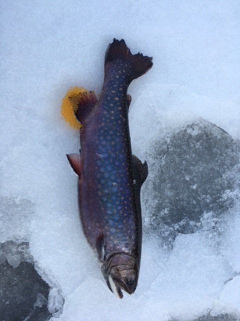
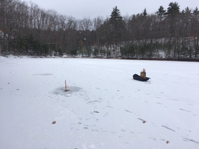
Bear Pond covers 218 acres and is located in Waterford, Oxford County, Maine (see The Maine Atlas and Gazetteer map 10 E4). The pond sits right next to Route 35 (Waterford Road) in the shadow of Bear Mountain. Access to the ice is from the boat launch off Route 35. The area in front of the launch is nicely plowed and can easily accommodate half a dozen vehicles. Anglers can also gain access to the ice with their vehicles from the launch. This pond has several advantages: (a) it is easily accessible from the road, (b) the fishing is good around the launch area and does not require walking out too far on the ice, and (c) it was stocked last fall with three different salmonid species, namely landlocked Atlantic salmon, splake, and brook trout. My plan is to target all three species. The salmon are pelagic creature which prefer to chase smelt, their main food item, over deeper water. Splake are a cross between brook trout and lake trout, and show behavioral characteristics of both, i.e., they feed both over deeper water and in shallower areas. Brook trout prefer shoreline areas.

Continue reading

Digiprove sealCopyright protected by Digiprove
Ice fishing for brook trout on Levenseller Pond in Lincolnville, Maine (December 30, 2017)

View Map

View of Levenseller Pond from one of the plowed pull-outs along Route 173. One can stay warm in the car while keeping an eye on the tip-ups.

Levenseller Pond covers 35 acres and is located on the boundary between Lincolnville and Searsmont in Waldo County, Maine (see The Maine Atlas and Gazetteer map 14 C3). The pond is situated right next to Route 173 (Lincolnville Avenue), which has three separate plowed pull-out areas where one can park a vehicle and observe the tip-ups from inside a warm car. The forecast calls for brutally-cold temperatures this morning, so I want to have the option of hiding in my vehicle, if necessary. My goal today is to catch a few of the 200 one-pound brook trout that were stocked last fall. I’m also secretly hoping to ice one of the 30 four-pound brood stock brookies that were also released last fall. That would really make my day!  The pond provides a typical winter “put-and-take” trout fishery. It has a mean and maximum depth of only 6 ft and 10 ft, respectively (click here for a depth map and more fishery information). Hence, any trout that survive the winter and spring fishing onslaught are sure to succumb during the warm summer months. I also suspect that the catch rate quickly drops over time as more and more trout are harvested through the ice. So, hit this pond early in the hard water season! Finally, the ice fishing rules fall under the general regulation laws.

Continue reading

Digiprove sealCopyright protected by Digiprove
Ice fishing for brook trout on Charles Pond in Georgetown, Maine (December 24, 2017)

View Map


This female brookie was still full of eggs


Charles Pond covers 14 acres and is located next to Route 127 (Five Islands Road) in Georgetown, Sagadahoc County, Maine (see The Maine Atlas and Gazetteer map 7 D1). I discovered this pond exactly one year ago in December and had a fantastic fishing experience on it then. My buddy Dmitry is from away and is visiting the family for the holidays. He has never ice-fished before and said he wanted to give it a try. I choose this pond, even though it’s a bit out of the way, because it was very well stocked last fall with lots of one-pound brook trout (including 15 fish measuring 19”!) and also provided me with an unforgettable experience last year. I’m hoping to replicate that kind of fishing this time around for Dmitry.

Continue reading

Digiprove sealCopyright protected by Digiprove

Ice fishing for brook trout on Otter Pond #4 in Standish, Maine (December 18, 2017)

View Map

General view of the back end of Otter Pond #4


Otter Pond #4 (a.k.a. Snake Pond) is a 6-acre body of water located in Standish, Cumberland County, Maine (see the Maine Atlas and Gazetteer map 5 D1). Click here for details on how to reach this location and click here for a depth map. Keep in mind that the land surrounding the Otter Ponds belongs to the Portland Water District (PWD) and that access is by permit only. The triplicate permit form is available from a small kiosk by the parking lot off Route 35. Place one completed copy in the slot by the kiosk, one on the dash board of your car, and one in your pocket. I talked to a PWD security person who was checking the permits when I returned to my car today and asked him why they bothered with this system at all. He explained that PWD needs to submit an annual report to the state and the federal government on the use of this land since it is located right next to the Sebago Lake public drinking water intake facility. The permit system allows PWD to perform this task efficiently. Also, people who don’t fill out a permit receive a written warning. Repeat offenders are banned from using the parking lot. So, make sure to follow the rules.

Continue reading

Digiprove sealCopyright protected by Digiprove

Brook trout fishing on Billfish Pond, Baxter State Park, Maine (September 23 and 24, 2017)

View Map

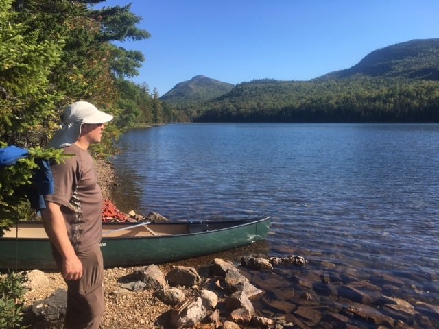
Billfish Pond is pretty and surrounded by four peaks

Billfish Pond is a 70-acre body of water located off the Park Tote Road in the northern portion of Baxter State Park (BSP), Piscataquis County, Maine (see The Atlas and Gazetteer map 51 A2). This pond can be accessed by hiking on the Five Ponds Trail for about 2.5 miles starting at Trout Brook Farm on the Park Tote Road. The hike is flat and easy. Click here for full details on renting a camp site and obtaining the key to unlock the canoe which you’ll need to use if your goal is to catch fish. Only one camp site is available on this pond. It is, by far, the lousiest of the seven camp sites for rent on the Five Ponds Trail trout ponds because it is inside the woods, gloomy, without breezes, and with no view of the water…


Continue reading

Digiprove sealCopyright protected by Digiprove

Brook trout fishing on Lower Fowler Pond, Baxter State Park, Maine (September 22 and 23, 2017)

View Map

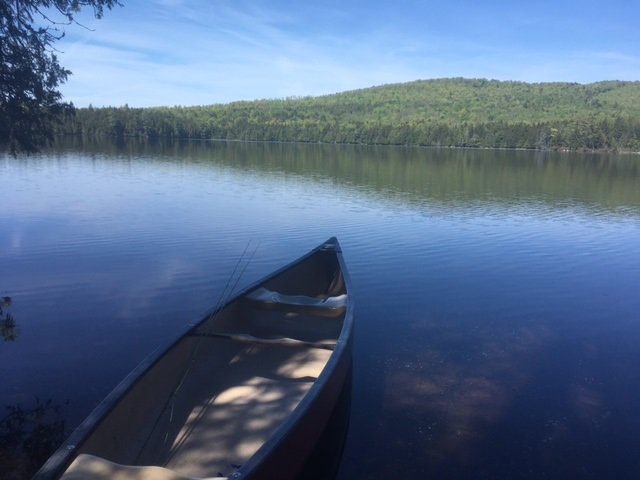
Lower Fowler Pond is a little jewel!


Lower Fowler Pond is a 66-acre body of water located off the Park Tote Road in the northern portion of Baxter State Park (BSP), Piscataquis County, Maine (see The Atlas and Gazetteer map 51 A1). This pond can be accessed by hiking for about 1.5 miles on the Fowler Brook Trail which starts at the clearly-indicated trail head on the Park Tote Road. The hike is flat and easy. Click here for full details on renting a camp site and obtaining the key to unlock the canoes that are stored next to the pond and which are critical if your goal is to fish. Two camp sites are available on this pond, namely Lower Fowler Outlet and Lower Fowler Pond. We stayed at the latter but found that the former provided better views of the gorgeous surrounding landscape. I recommend renting that one instead, if it is available.


Continue reading

Digiprove sealCopyright protected by Digiprove

Brook trout and landlocked Atlantic salmon fishing on Pierce Pond, Pierce Pond Township, Maine (May 30, 2017)

View Map

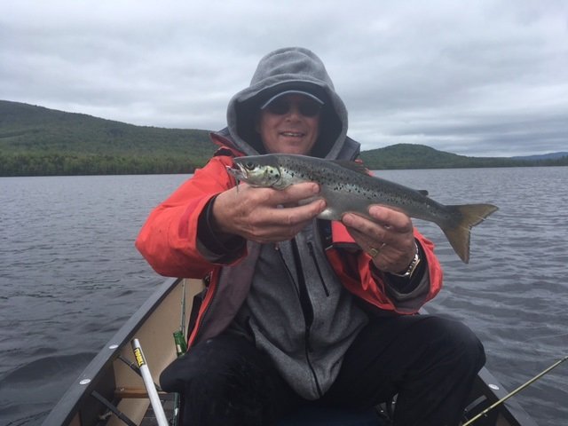
This little landlocked salmon jumped four times out of the water. What a treat!

Today is, most unfortunately, the last day of fishing on Pierce Pond in Somerset County (see The Maine Atlas and Gazetteer map 30 A2) for Joel, Salvy and I before we have to leave this slice of heaven and return back home to face Life. Joel already spent 11 consecutive days on the pond before today and has discovered an intriguing pattern. The cool weather and lack of sunny days over the last week and a half has kept the surface water temperature below normal for this time of the year. The mayfly hatches have been sporadic and inconsistent at best and the fish have not focused on this seasonal food source yet. However, the cool surface water temps have allowed the salmonids to feed extensively in shallow water in search of bait fish and other bug life. Through much trial and error Joel figured out that, based on the unusual prevailing conditions, select rock piles in shallow areas of Pierce Pond (and the pond is full of those piles!) are serving as magnets for prey items and the salmonids that feed on them.


Continue reading

Digiprove sealCopyright protected by Digiprove

Brook trout fishing on Pierce Pond, Pierce Pond Township, Somerset County, Maine (May 29, 2017)

View Map

Excellent trolling conditions!

It’s the long Memorial Day weekend of 2017 and that means that I’m on my annual pilgrimage to gorgeous Pierce Pond in Somerset County (see The Maine Atlas and Gazetteer map 30 A2). This huge “pond” is divided into three major basins (i.e., Upper Pond, Middle Pond and Lower Pond) which together cover a total of 1,650 acres. I’m fishing for four days in this special place with my son Joel and nephew Salvy. We’re renting a cozy log cabin at Cobb’s Camp in Lower Pond which affords us access to an indoor toilet, a hot shower, and cooked meals off the grid in the middle of nowhere!  Pierce Pond is a totally pristine and unspoiled environment. The lake is completely surrounded by forests in a protected watershed. These conditions maintain the exceptional surface water quality which supports a robust and self-sustaining native brook trout population and a healthy population of stocked landlocked Atlantic salmon. General fishing laws apply, except that (a) the pond is closed to ice fishing, (b) the ponds opens to fishing on May 1 (but beware that ice-out can occur well past May 1 after a cold winter), (c) only artificial lures are allowed, (d) the daily bag limit for brook trout is two fish, and (e) the minimum length limit for brook trout is 10”, with only one fish allowed to exceed 12”


Continue reading

Digiprove sealCopyright protected by Digiprove

Brook trout fishing on Otter Pond, Bowtown Township, Maine (May 27, 2017)

View Map

View of North Otter Pond from the rough access point

Otter Pond covers 71 acres and is located in Bowtown Township in Somerset County, Maine (see The Maine Atlas and Gazetteer map 30 A2). This pond can be reached as follows: from North New Portland (see The Maine Atlas and Gazetteer map 30 E2), drive north on Long Falls Dam Road for about 23 miles and turn right on Carrying Place Road at the sign for Cobb’s Camps. Drive down this gravel road for 10.1 miles until the Yield traffic sign and turn left on Bowtown Road (note: Google Maps calls this road “Otter Pond Road”). Pass Harrison Camp on the left, cross Pierce Pond Stream and drive for another 2.5 miles or so. Turn left on a short dirt road that leads to a small parking area. The pond is 300 ft further down from there. Both Carrying Place Road and Bowtown Road are gravel roads that are drivable by regular cars but can be rough during mud season in early spring. It took me about one hour to cover the 15 miles or so from the turn-off on Long Falls Dam Road to the pond. Hence, this pretty pond is reachable by car even though it is rather remote.


Continue reading

Digiprove sealCopyright protected by Digiprove

Brook trout fishing on Daicey Pond, Baxter State Park, Maine (May 26, 2017)

View Map

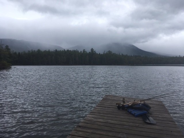
General view of Daicey Pond under a gloomy sky

Daicey Pond covers 38 acres and is located at the end of a good gravel road off the Park Tote Road in Baxter State Park [BSP] (see The Maine Atlas and Gazetteer map 50 D4). The turn-off from the Park Tote Road is clearly marked with a large sign and is located about 10 miles from the southern entrance to the park (Togue Pond Gate). Most people who visit BSP do not know of the secret which is hiding in plain view at Daicey Pond, namely the presence of ten rustic log cabins that can be rented from BSP for a very reasonable fee. Several canoes stored by the pond are also available for rent for $1/hour. Payment is based on an honor system; the payment box is located at the nearby ranger station. This pond cannot be fished from shore, so make sure to bring your own craft or a bunch of dollar bills to rent one.


Continue reading

Digiprove sealCopyright protected by Digiprove