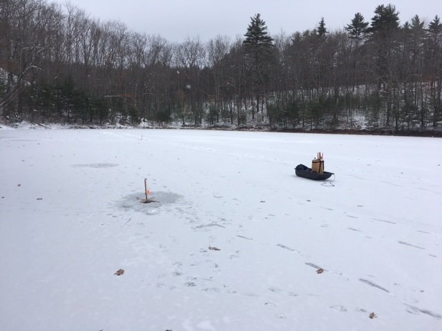
Ice fishing for brook trout on Charles Pond in Georgetown, Maine (December 24, 2017)

View Map


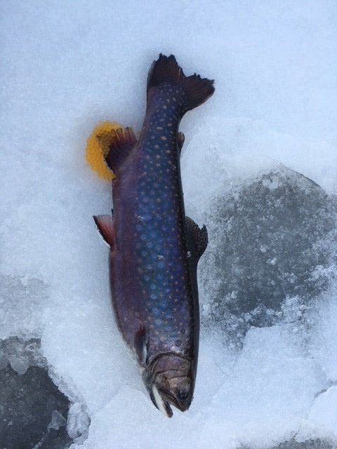
This female brookie was still full of eggs


Charles Pond covers 14 acres and is located next to Route 127 (Five Islands Road) in Georgetown, Sagadahoc County, Maine (see The Maine Atlas and Gazetteer map 7 D1). I discovered this pond exactly one year ago in December and had a fantastic fishing experience on it then. My buddy Dmitry is from away and is visiting the family for the holidays. He has never ice-fished before and said he wanted to give it a try. I choose this pond, even though it’s a bit out of the way, because it was very well stocked last fall with lots of one-pound brook trout (including 15 fish measuring 19”!) and also provided me with an unforgettable experience last year. I’m hoping to replicate that kind of fishing this time around for Dmitry.

Continue reading

Digiprove sealCopyright protected by Digiprove
Ice fishing for brook trout on Otter Pond #4 in Standish, Maine (December 18, 2017)

View Map

General view of the back end of Otter Pond #4


Otter Pond #4 (a.k.a. Snake Pond) is a 6-acre body of water located in Standish, Cumberland County, Maine (see the Maine Atlas and Gazetteer map 5 D1). Click here for details on how to reach this location and click here for a depth map. Keep in mind that the land surrounding the Otter Ponds belongs to the Portland Water District (PWD) and that access is by permit only. The triplicate permit form is available from a small kiosk by the parking lot off Route 35. Place one completed copy in the slot by the kiosk, one on the dash board of your car, and one in your pocket. I talked to a PWD security person who was checking the permits when I returned to my car today and asked him why they bothered with this system at all. He explained that PWD needs to submit an annual report to the state and the federal government on the use of this land since it is located right next to the Sebago Lake public drinking water intake facility. The permit system allows PWD to perform this task efficiently. Also, people who don’t fill out a permit receive a written warning. Repeat offenders are banned from using the parking lot. So, make sure to follow the rules.

Continue reading

Digiprove sealCopyright protected by Digiprove
Brook trout fishing on Billfish Pond, Baxter State Park, Maine (September 23 and 24, 2017)

View Map

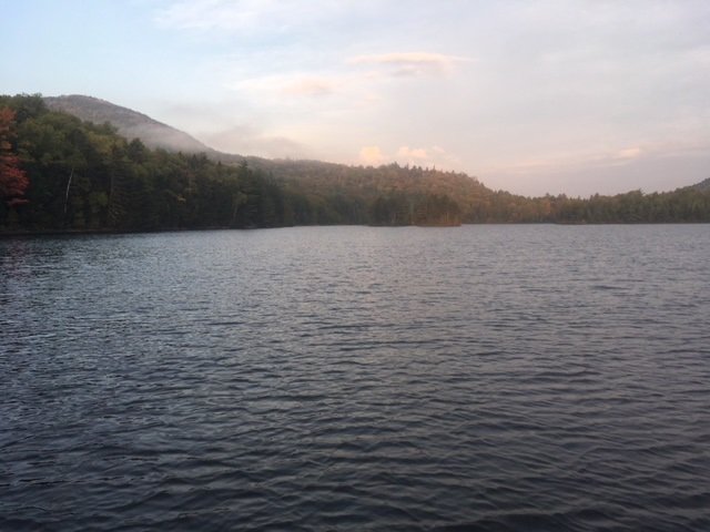
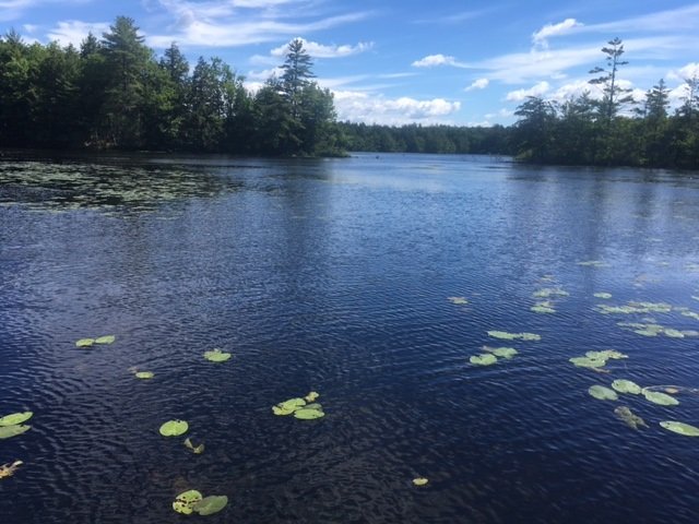
Billfish Pond is pretty and surrounded by four peaks

Billfish Pond is a 70-acre body of water located off the Park Tote Road in the northern portion of Baxter State Park (BSP), Piscataquis County, Maine (see The Atlas and Gazetteer map 51 A2). This pond can be accessed by hiking on the Five Ponds Trail for about 2.5 miles starting at Trout Brook Farm on the Park Tote Road. The hike is flat and easy. Click here for full details on renting a camp site and obtaining the key to unlock the canoe which you’ll need to use if your goal is to catch fish. Only one camp site is available on this pond. It is, by far, the lousiest of the seven camp sites for rent on the Five Ponds Trail trout ponds because it is inside the woods, gloomy, without breezes, and with no view of the water…


Continue reading

Digiprove sealCopyright protected by Digiprove

Brook trout fishing on Lower Fowler Pond, Baxter State Park, Maine (September 22 and 23, 2017)

View Map

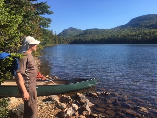
Lower Fowler Pond is a little jewel!


Lower Fowler Pond is a 66-acre body of water located off the Park Tote Road in the northern portion of Baxter State Park (BSP), Piscataquis County, Maine (see The Atlas and Gazetteer map 51 A1). This pond can be accessed by hiking for about 1.5 miles on the Fowler Brook Trail which starts at the clearly-indicated trail head on the Park Tote Road. The hike is flat and easy. Click here for full details on renting a camp site and obtaining the key to unlock the canoes that are stored next to the pond and which are critical if your goal is to fish. Two camp sites are available on this pond, namely Lower Fowler Outlet and Lower Fowler Pond. We stayed at the latter but found that the former provided better views of the gorgeous surrounding landscape. I recommend renting that one instead, if it is available.


Continue reading

Digiprove sealCopyright protected by Digiprove

Smallmouth bass fishing on South Branch Lake, Seboeis Plantation, Maine (September 9, 2017)

View Map

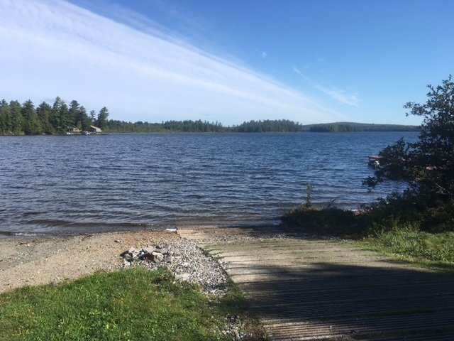
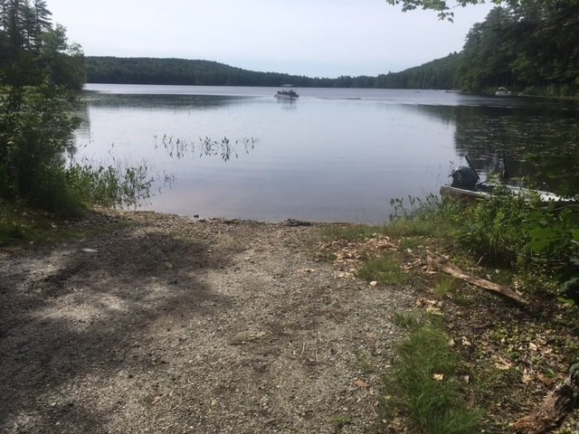
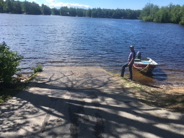
South Branch Lake is accessible via this nice hard-top boat launch

South Branch Lake is a 2,035 acre body of water located in Seboeis Plantation, Penobscot County, Maine (see The Maine Atlas and Gazetteer map 43 E3). The lake can be accessed from an excellent hard-top public boat launch located at the end of Lake Road (off Seboeis Road) at the southern end of the lake. Plenty of parking is available by this access point.


Continue reading

Digiprove sealCopyright protected by Digiprove

Smallmouth bass fishing on Panther Pond, Raymond, Maine (August 14, 2017)

View Map

The sun is setting and the surface commotion is gone. It’s time for the smallmouth bass to grab dinner before dark!

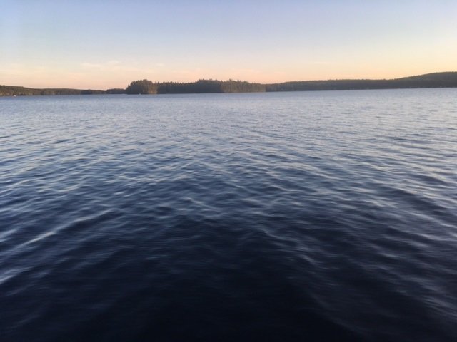
Catching smallmouth bass in ponds or lakes during high summer in Maine can be a real challenge, even for the experienced angler. The surface water is warm (75° to 80°F), the sun is bright, and the human activity levels can be intense as a result of water skiing, jet skiing, pontoon boating, or power boating. The fish seek shelter 15 to 25 ft below the surface to locate cooler water, hide from the sun, and find respite from all the human commotion above. Unlike the nippier and less hectic spring months, when the smallmouth bass congregate and concentrate in large numbers along bouldery shorelines for the annual spawn, the summer bronzebacks are scattered over a much larger area and in deeper water. That makes them intrinsically more difficult to find and catch.


Continue reading

Digiprove sealCopyright protected by Digiprove

Largemouth bass fishing on Stearns Pond, Sweden, Maine (July 29, 2017)

View Map

View of Stearns Pond from the public access point

Stearns Pond covers 255 acres and is located in Sweden, Oxford County (see The Maine Atlas and Gazetteer map 10 E3). To access this pond from Waterford Road (Route 93), drive down Hardscrabble Road and turn left on Wint Road. Drive down this road for 0.25 miles before turning left on Town Landing Road. The public access point to the pond is located at the end of this gravel road. The boat launch is unimproved but consists of firm sand and can easily accommodate small trailered boats. Ample parking is available next to the launch.

Continue reading

Digiprove sealCopyright protected by Digiprove

Largemouth bass fishing on Lake Arrowhead, Limerick and Waterboro, Maine (July 3, 2017)

View Map

Lake Arrowhead provides hundreds of acres of shallow coves and bays

Lake Arrowhead covers 779 acres and is located in Limerick and Waterboro, York County, Maine (see The Maine Atlas and Gazetteer map 2 A2). This lake has two trailerable boat launches. The first one is located off New Dam Road by the dam over which flows the Little Ossippee River. The second one is about two miles further south also off New Dam Road but closer to Chadburne Ridge Road which separates this lake from Little Ossippee Pond. I put my small aluminum craft in the water by the dam. The water is deep enough at this location to dispatch large boats. Plenty of parking is also available next to the launch. I arrive at the launch by 10 am and am greeted by a friendly and chatty boat inspector. The lake has been infested with Eurasian milfoil, an aggressive invasive plant species, for over 20 years. She checks every boat going in and coming out for fragments of this aquatic pest to ensure that the infestation does not spread to other water bodies.Surprisingly, considering it’s the long July 4th weekend, I only see three other cars with trailers parked by the launch.


Continue reading

Digiprove sealCopyright protected by Digiprove

Largemouth bass fishing on Pickerel Pond, Limerick, York County, Maine (June 24, 2017)

View Map

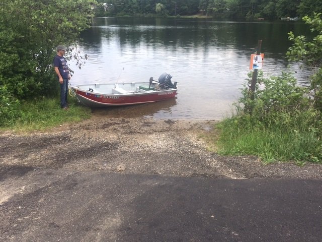
The unimproved boat launch at Pickerel Pond can only accommodate small trailered boats.

Pickerel Pond covers 46 acres and is located in Limerick, York County, Maine (see The Maine Atlas and Gazetteer map 4 E3). A small unimproved boat launch is found by the outlet at the southern end of the pond right off Route 11 (Central Avenue). The substrate by the ramp is sandy and firm but the water level is rather low. Only hand-carried craft and small trailered boat can be dispatched with ease from the ramp. The parking area is rather restricted and can only accommodate 3 or 4 vehicles with trailers. Salvador and I arrive at the launch at 10 am, eager to wet our lines. The sky is mostly overcast with air temperatures in the mid to high 70’s. It feels muggy and we have to face a stiff breeze blowing in from the northwest.


Continue reading

Digiprove sealCopyright protected by Digiprove

Largemouth bass fishing on Sokokis Lake, Limerick, York County, Maine (June 24, 2017)

The public boat launch on Sokokis Lake is sturdy and the adjoining parking area can accommodate multiple vehicles and trailers

Sokokis Lake (a.k.a. Holland Pond) covers 192 acres and is located in Limerick, York County, Maine (see The Maine Atlas and Gazetteer map 4 E3). A nice, hard-top boat launch is located at the southern end of the lake by its outlet right off Route 11 (Central Avenue). Enough space is available to park over a dozen vehicles and trailers on the public parking area located next to the launch. Salvador and I arrive at our destination at 2 pm and are greeted by a polite high school kid who checks my boat and trailer for fragments of aquatic vegetation to prevent introducing an invasive plant species into the lake. My boat and trailer get a clean bill of health. The weather has improved greatly since this morning, when conditions were overcast and gloomy. Now the sky is blue and the sun is bright, but the breeze is still blowing in briskly from the northwest. The air temperature is in the balmy low 80’s.


Continue reading

Digiprove sealCopyright protected by Digiprove