Fishing for brook trout on Long Pond in Acadia National Park on Mount Desert Island, Maine (May 12, 2018)

View Map

Long Pond covers 897 acres and is located in Acadia National Park, just north of Southwest Harbor, on Mount Desert Island (MDI) in Hancock County, Maine (see The Maine Atlas and Gazetteer map 16 C2). This body of water is surrounded by Acadia National Park on its entire western side, and along the lower third on its eastern side. I access the pond via the public boat launch at the end of Long Pond Road at the southern tip of the pond. Even though this launch falls within the boundary of the Park, I do not see any signs which explicitly state that vehicles require a Park-issued pass to enter or to park a vehicle. I’m not worried because I have the pass. However, it might be prudent to first inquire with the Park authorities, just to make sure. The pass can be purchased on-line or at the Park’s visitor center on MDI, if needed. I also note that a second public boat launch is located at the northern tip of this pond right off Route 102 (Pretty Marsh Road; see The Maine Atlas and Gazetteer map 16 B2) which falls outside of the Park boundaries and therefore would not require a pass.
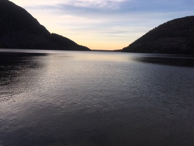
Sunset view of Long Pond from the boat launch at the southern tip of the lake.

Continue reading

Digiprove sealCopyright protected by Digiprove
Fishing for brook trout on Round Pond in Acadia National Park on Mount Desert Island, Maine (May 13, 2018)

View Map

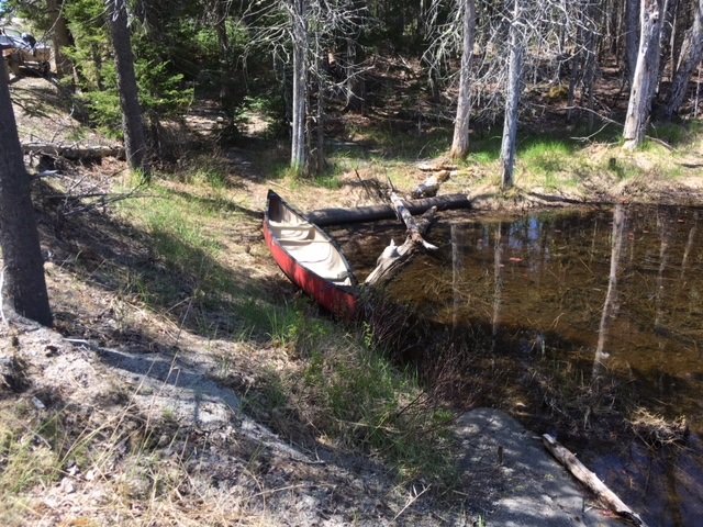
The launch area next to Route 102 is rough and can only accommodate hand-carried craft.

Round Pond covers 38 acres and is located on Mount Desert Island (MDI) in Hancock County, Maine (see The Maine Atlas and Gazetteer map 16 B2). The western shoreline abuts Acadia National Park, whereas the eastern shoreline is privately owned as indicated by the presence of a handful of houses. The pond, which is located right off Pretty Marsh Road (Route 102) on the western half of MDI, is not in the Park itself. The pond can only be accessed from Route 102 via a short rough path and lacks a boat launch. Hence, it can only be fished using hand-carried craft. Keep in mind that no actual parking is available on Route 102 either. The road shoulder is sandy and narrow, and can safely accommodate only a few cars

Continue reading

Digiprove sealCopyright protected by Digiprove
Fishing for landlocked Atlantic salmon on Jordan Pond in Acadia National Park on Mount Desert Island, Maine (May 12, 2018)

View Map

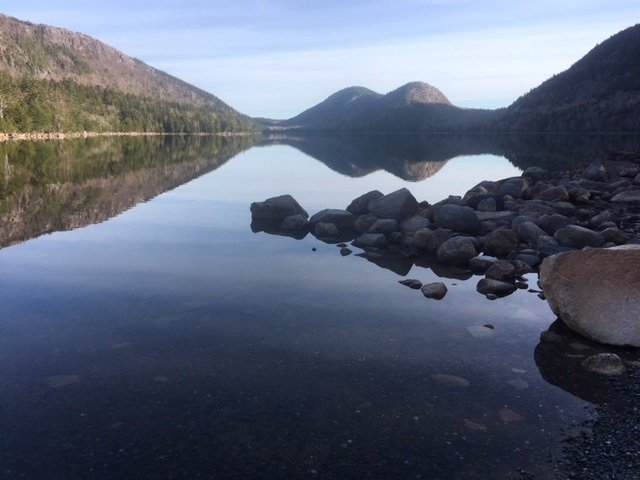
A gorgeous view of Jordan Pond from the boat launch

Jordan Pond covers 187 acres and is located inside Acadia National Park on Mount Desert Island (MDI) in Hancock County, Maine (see The Atlas and Gazetteer map 16 C3). The pond is situated off the Park Loop Road. A huge parking lot with a clean bathroom is located at the southern tip of the pond to accommodate the many visitors who come to this spot to hike the multiple trails that criss-cross the area. Access to the pond is via a rough unimproved boat launch. Be aware that you’ll need a pass to legally park your car anywhere inside the Park. The pass can be purchased on-line or at the visitor center on MDI.

Continue reading

Digiprove sealCopyright protected by Digiprove

Ice fishing for smallmouth bass and splake on Trickey Pond in Naples, Maine (March 31, 2018)

View Map

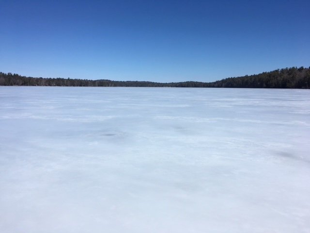
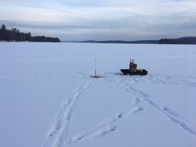
A bright and sunny, but windy, early-spring day on Trickey Pond

Trickey Pond covers 311 acres and is located in Naples, Cumberland County, Maine (see The Maine Atlas and Gazetteer map 4 B5). I have fished it on multiple occasions in the past for smallmouth bass and splake. I also know from several reliable sources that this relatively small body of water grows serious landlocked Atlantic salmon in the 6- to 8-pound range! The reason I like to visit Trickey Pond towards the end of the ice fishing season is that its ice is always thick and safe, even when the hard water on other ponds in southern Maine is no longer reliable. Besides, there’s always the chance of catching a real bragging fish here! Keep in mind though that this pond has a well-deserved reputation of only grudgingly offering up its scaly denizens. So, be ready to put in time to learn its secrets if you are unfamiliar with its layout.


Continue reading

Digiprove sealCopyright protected by Digiprove

Ice fishing for brown trout on Pettingill Pond in Windham, Maine (February 10, 2018)

View Map

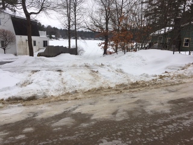
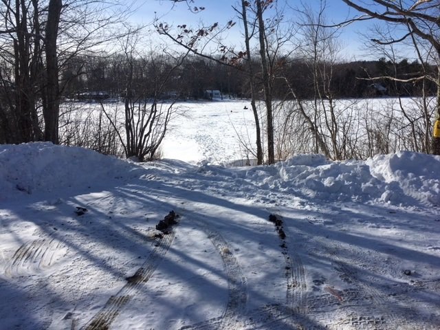
The public access point to Pettingill Pond is unobstrusive and unmarked.

Pettingill Pond covers 42 acres and is located in Windham, Cumberland County, Maine (see The Maine Atlas and Gazetteer map 5 C2). The public access to this body of water can be tricky to find under the snow in the winter. While driving on Route 302 in Windham (direction Raymond and Naples, i.e., north), turn right on Anglers Road at the traffic light just past Bob’s Seafood Restaurant. Go down that road for 0.4 miles and look for house number 48. The access point will be to your left immediately past that house (and across from house #51). It is not indicated by any signs. You have gone too far if you reach Mud Pond Road. Note that the local homeowners frown on people parking their vehicles on Anglers Road, which is quite narrow, twisty, and busy. You can either leave your vehicle by the public access point itself (it will accommodate two or three cars, but no more) or park it on a large plowed area located about 0.1 mile on Anglers Road after the turn-off from Route 302. Note that it may be a problem to pull a sled to the public access point for 0.3 miles if all the snow has been cleared from Anglers Road. I also suspect that this latter parking location may not be available for much longer because I saw a “for sale” sign next to it on my way in this morning.


Continue reading

Digiprove sealCopyright protected by Digiprove

Ice fishing on Crystal Pond in Turner, Maine (January 27, 2018)

View Map

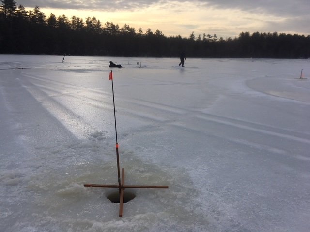
The ice is glare and the light levels are low.

Crystal Pond (a.k.a. Beals Pond) covers 47 acres and is located in Turner, Androscoggin County, Maine (see The Maine Atlas and Gazetteer map 11 C4). This body of water is immediately adjacent to Route 4. Ample space is available to leave vehicles next by the pond, but be aware that this parking area is typically not plowed in the winter. During my visit, the snow was all packed down and icy due to the recent thaw, and I was able to park my car off the road. That may not be the case after a snow storm or if the snowplows have left behind a deep snowbank next to the road. In that case, vehicles must be parked in the breakdown lane of Route 4.


Continue reading

Digiprove sealCopyright protected by Digiprove

Ice fishing on Long Lake in Naples, Maine (January 20, 2018)

View Map

View of Long Lake from Pine Island looking north.

Long Lake covers 4,867 acres and is located in the towns of Naples, Bridgeton, and Harrison in Cumberland County, Maine (see The Maine Atlas and Gazetteer map 4 AB5). This lake, which is the second-largest body of water in southern Maine, is aptly named as it stretches for 11 miles from north to south. It also has a well-deserved reputation as a “windy” lake on account of its long but narrow morphology and its northwest to southeast orientation which roughly matches the prevailing wind direction. My son Joel and his family are spending the weekend winter camping in their pop-up trailer at the Colonial Mast Campground located next to Mast Cove right off Route 302 about 3 miles north of Naples. He asked me earlier in the week if I wanted to join him and the fam on Saturday morning for some ice fishing.


Continue reading

Digiprove sealCopyright protected by Digiprove

Ice fishing for brook trout on Silver Lake in Phippsburg, Maine (January 13, 2018)

View Map

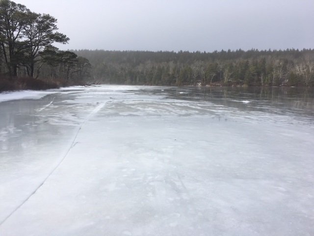
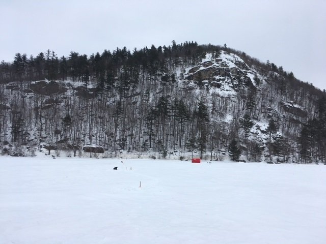
General View of Silver Lake. Note the gloomy sky and the glare ice.

Silver Lake covers 12 acres and is located in Phippsburg, Sagadahoc County, Maine (see The Maine Atlas and Gazetteer map 6 E5; note that the lake is shown on the map but is not specifically named). To reach this pond, drive on Route 209 from Bath towards Popham Beach State Park. Pass the state park entrance and drive for another 0.5 miles. The pond will be visible on your right from the road. Keep in mind that parking in this general area is tricky. I found no place to leave a vehicle behind on Route 209 across from the pond. Instead, your best option is to turn right on Hunnewell Avenue just before reaching the pond. A vehicle could be parked at that split, or further down that road. I do not know what the parking situation would be on Hunnewell Avenue after a snow storm. We’ve had several warm days before today so that a lot of snow has melted, allowing me to park tight against the remaining snow banks without obstructing local traffic.


Continue reading

Digiprove sealCopyright protected by Digiprove

Ice fishing for landlocked Atlantic salmon on Bear Pond in Waterford, Maine (January 8, 2017)

View Map

Bear Mountain looms large over Bear Pond. Route 35 runs along the base of this mountain.

Bear Pond covers 218 acres and is located in Waterford, Oxford County, Maine (see The Maine Atlas and Gazetteer map 10 E4). The pond sits right next to Route 35 (Waterford Road) in the shadow of Bear Mountain. Access to the ice is from the boat launch off Route 35. The area in front of the launch is nicely plowed and can easily accommodate half a dozen vehicles. Anglers can also gain access to the ice with their vehicles from the launch. This pond has several advantages: (a) it is easily accessible from the road, (b) the fishing is good around the launch area and does not require walking out too far on the ice, and (c) it was stocked last fall with three different salmonid species, namely landlocked Atlantic salmon, splake, and brook trout. My plan is to target all three species. The salmon are pelagic creature which prefer to chase smelt, their main food item, over deeper water. Splake are a cross between brook trout and lake trout, and show behavioral characteristics of both, i.e., they feed both over deeper water and in shallower areas. Brook trout prefer shoreline areas.

Continue reading

Digiprove sealCopyright protected by Digiprove

Ice fishing for brook trout on Levenseller Pond in Lincolnville, Maine (December 30, 2017)

View Map

View of Levenseller Pond from one of the plowed pull-outs along Route 173. One can stay warm in the car while keeping an eye on the tip-ups.

Levenseller Pond covers 35 acres and is located on the boundary between Lincolnville and Searsmont in Waldo County, Maine (see The Maine Atlas and Gazetteer map 14 C3). The pond is situated right next to Route 173 (Lincolnville Avenue), which has three separate plowed pull-out areas where one can park a vehicle and observe the tip-ups from inside a warm car. The forecast calls for brutally-cold temperatures this morning, so I want to have the option of hiding in my vehicle, if necessary. My goal today is to catch a few of the 200 one-pound brook trout that were stocked last fall. I’m also secretly hoping to ice one of the 30 four-pound brood stock brookies that were also released last fall. That would really make my day!  The pond provides a typical winter “put-and-take” trout fishery. It has a mean and maximum depth of only 6 ft and 10 ft, respectively (click here for a depth map and more fishery information). Hence, any trout that survive the winter and spring fishing onslaught are sure to succumb during the warm summer months. I also suspect that the catch rate quickly drops over time as more and more trout are harvested through the ice. So, hit this pond early in the hard water season! Finally, the ice fishing rules fall under the general regulation laws.

Continue reading

Digiprove sealCopyright protected by Digiprove