
Fishing for largemouth bass is a cherished summer activity for many fishermen in southern Maine. The desired quietness and loneliness, however, can be rudely impacted by the unwelcome hustle and bustle of jet skiers, swimmers, speed boaters, other fishermen, or general shore activity. My goal was to find, and share with you, hidden largemouth bass fishing spots scattered throughout Androscoggin, Sagadahoc, and Lincoln Counties. I focused on smaller ponds less than about 50 acres in size, located mostly off the beaten track but still readily accessible by car (no need for 4X4 driving or hiking through the woods!). I also avoided ponds with excessive shore development. A small motorized boat could be launched on a few of these ponds, but most are fishable only by hand-carried craft, such as a canoe or kayak.
This selection process ensures that you will likely be fishing all by yourself in unspoiled, quiet, natural surroundings. The ponds are also small enough that they can be covered in a lazy afternoon or a long summer evening. Finally, I fished each one of them to ensure that they contain largemouth bass, which they did! Click here for an overview of the lures I like to use on these fish. I have also identified fabulous largemouth bass ponds in York County, Cumberland County, and southern Oxford County.
And the fabulous ponds for southern coastal Maine are (in alphabetical order)….
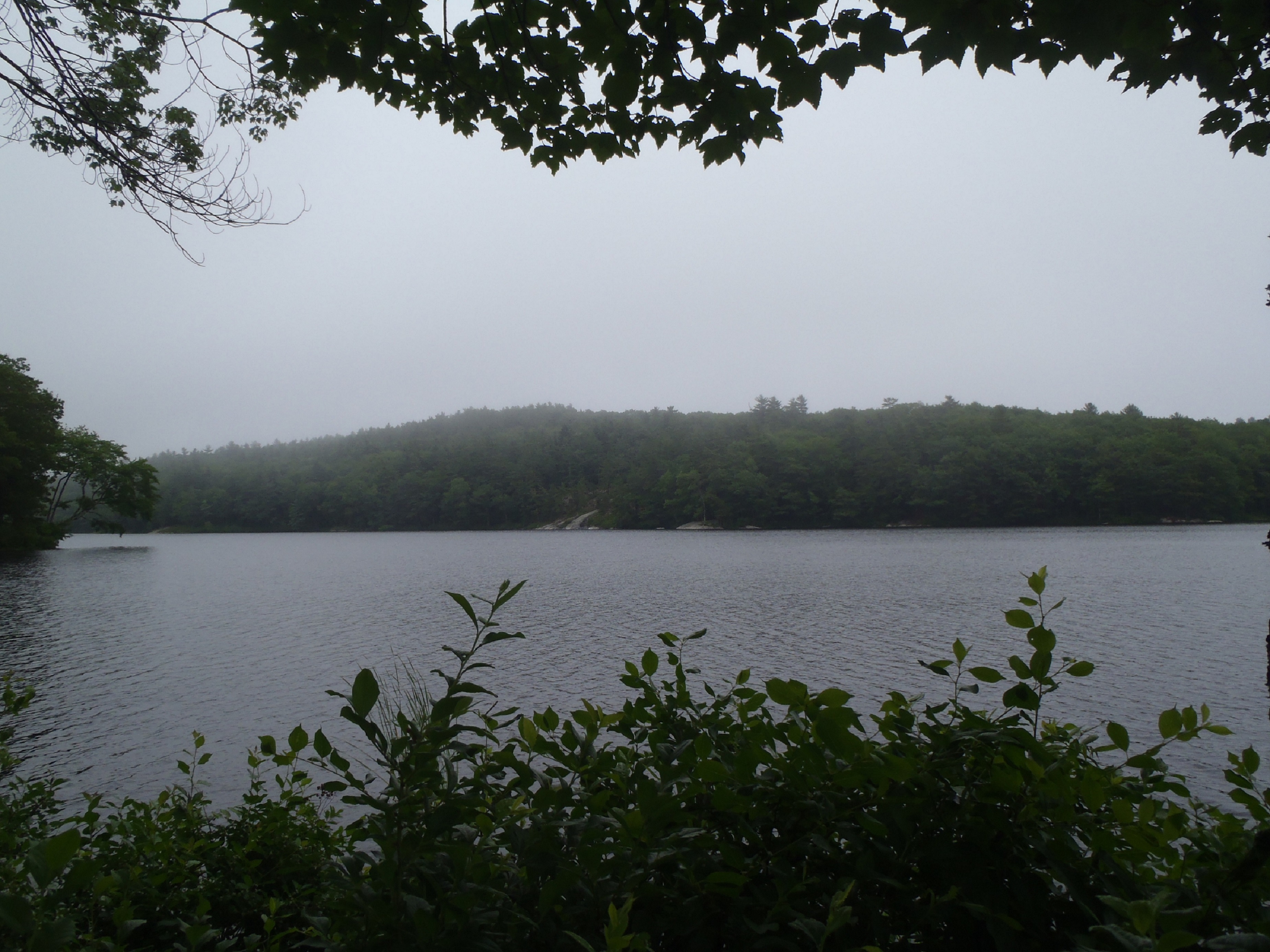
CRYSTAL POND IN TURNER (ANDROSCOGGIN COUNTY)

General view of Crystal Pond
Crystal Pond (also known as Beal Pond) is a 47-acre body of water located in Turner, Maine (see The Maine Atlas and Gazetteer map 11 C4). Drive north on Route 4 for about 2.5 miles past Turner. The pond, and its launch, will appear on the right, about 150 ft past Crystal Lane. Beware that the launch does not have a boat ramp. Hence, only small, hand-carried craft can be used. The fishing rules also stipulate that motorboats over 10 horsepower are prohibited. Otherwise, general fishing law applies.

View along the eastern shoreline of Crystal Pond
Crystal Pond is a pretty body of water. It is relatively undeveloped given its easy access and proximity to the Lewiston/Auburn area. Most of the housing is found west along Route 4 and south next to Crystal Lane. The remainder of the shoreline is mostly wooded. The only negative observation about this pond pertains to the traffic that moves past Route 4. The constant din of cars and trucks diminishes the “nature” experience a bit. On the other hand, a cornucopia of gamefish, besides largemouth bass, is waiting to be caught, including brook trout, brown trout, smallmouth bass, and northern pike. The State also spices up this pond every year by stocking brook trout (spring and fall) and brown trout (fall only). This pond is a popular ice fishing destination due to its easy access and abundance of game fish.

Another view of Crystal Pond
The surface water of Crystal Pond is clean and very lightly stained. The substrate appears firm and sandy. The largemouth bass habitat consists of relatively sparse submerged and emergent aquatic vegetation in the shallows along the shoreline, plus some woody structure. The maximum depth is 39 ft, with a mean depth of 16 ft, which makes the pond relatively deep. Click here for a depth map and more fisheries information.
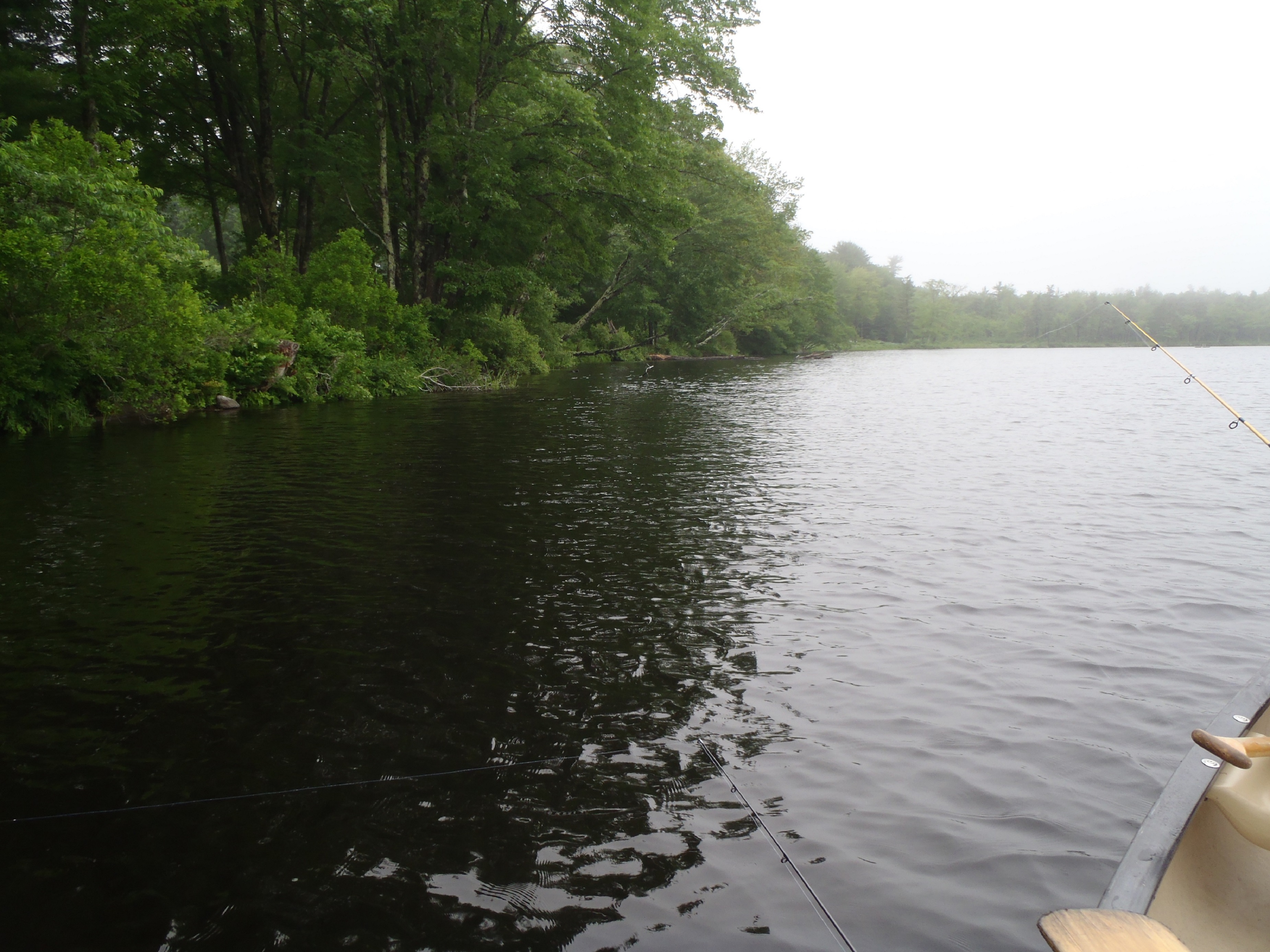
ICE POND IN BRISTOL (LINCOLN COUNTY)

General view of Ice Pond
Ice Pond (a.k.a. New Harbor Pond) is a 9-acre body of water located in Bristol, Maine (see The Maine Atlas and Gazetteer map 7 C4). Drive south on Route 130 into New Harbor and turn left on Route 32. The short but rough and rutted access trail to the pond is located a couple of hundred feet on the left. No parking is possible on Route 32 and the trail can only accommodate one car (a second car would not be able to squeeze by). Only hand-carried craft, such as a canoe or kayak, can be launched from this access point. A public boat launch is not available. Note that I mention Ice Pond in this blog because of its pretty setting even though I did not physically catch largemouth bass in it when I fished it in the summer. The State claims that this species is present in the pond, which is why I include it here.

Typical view of the Ice Pond shoreline
Ice Pond is a shallow (maximum depth: 7 ft; mean depth: 3 ft), weed-choked body of water. Its entire shoreline is lined with emerging pickerelweed/arrowhead plants and floating water lily pads. Over half a dozen other aquatic plant species also compete for space and light throughout the pond. One striking feature is the presence of dense mats of vegetation that fill the entire water column in many areas from top to bottom. The surface water is distinctively tea colored. Only a handful of houses are visible from the pond, which gives it a nice “remote” feeling. General fishing law applies. Click here for a depth map and more fisheries information.
ISLAND POND IN LEEDS (ANDROSCOGGIN COUNTY)

The access point on Island Pond
Island Pond is an 18-acre body of water located in Leeds, Maine (see The Maine Atlas and Gazetteer map 12 D1). To access this pond, drive north on Route 106 and cross the Plains Road/Blue Rock Road intersection. Continue for about 0.3 miles until you see a dirt road on the left barricaded with large cement blocks. A car can be parked on the shoulder of Route 106 next to the entrance. The pond is a 3 minute walk from this point. Go down the dirt road for about 300 ft. Continue straight (past another row of cement blocks) on the trail when the dirt road veers to the right. Ignore the body of water on your right. Your target pond is 2 minutes down this path. The difficult access precludes all boats except for hand-carried craft, such as a canoe or kayak. I did not see any “No Trespassing” signs and so assume that this way in is legitimate.

General view of Island Pond
Island Pond has a maximum depth of 30 ft, and an average depth of 9 ft. The water is crystal clear. The substrate consists of clean sand interspersed with small gravel. The amount of aquatic vegetation along the shoreline is minimal and consists mainly of pipewort/quillwort plants which grow their skinny stems right through the water surface and love to get stuck on your lures! Some sunken wood also provide holding structure. The Maine Department of Inland Fisheries and Wildlife stated in a 2001 review of the pond’s fisheries that largemouth bass had reportedly been caught but this had not yet been confirmed. I can confirm that the pond is full of largemouth bass! General fishing law applies. Click here for a depth map and more fisheries information.
MUD POND IN TURNER (ANDROSCOGGIN COUNTY)

General view of Mud Pond
Mud Pond is a 26-acre body of water located in Turner, Maine (see The Maine Atlas and Gazetteer map 11 D4). It is hidden away in the woods and represents a beautiful spot that few people know about! Not a single human structure is visible from the water to mar the view. Access is a challenge but essentially guarantees that the no one else would be fishing it. The shoreline is completely surrounded by marshy habitat with the forest and surrounding hills beyond that. The water has the color of weak tea. The substrate is soft and mucky. The aquatic vegetation is luxurious and abundant all around the perimeter of the pond. General fishing law applies on this pond. Click here for a depth map and more fisheries information.
SCHOOLHOUSE POND IN LIVERMORE FALLS (ANDROSCOGGIN COUNTY)

View of the Shoreline of Schoolhouse Pond
Schoolhouse Pond is a 21-acre body of water located in Livermore Falls, Maine (see The Maine Atlas and Gazetteer map 12 A1). Drive north on Campground Road (off Route 133) and keep Jug Hill Road to your left. The pond will appear through the trees on the right. Look for a foot path through the woods about 0.1 mile or so after passing Jug Hill Road. Park the car on the grassy shoulder next to the foot path. The pond is 100 ft further down. I did not see “No Trespassing” signs and so assume that this way in is legit. Only small hand-carried craft, such as a canoe or kayak, can be launched from the access point. A public boat launch is not available.

It’s bass heaven in those broad-leafed lily pads…
Schoolhouse Pond is a little jewel in the northern-most part of Androscoggin County. Only one house is visible from the water. The rest of the shoreline is completely wooded. The place has a nice remote feel to it, except for the occasional car driving down Campground Road. The pond has a maximum depth of 13 ft and an average depth of 7 ft. Patches of emergent pickerel weed/arrowhead plants dot the shoreline by the road. The rest of the shallows are full of broad-leafed water lilies, the kind I like because a surface lure can swim in between the floating leaves without getting automatically stuck all the time! The water is darkly stained and the substrate is soft and mucky. General fishing law applies on this pond. Click here for a depth map and more fisheries information.
SEWELL POND IN ARROWSIC (SAGADAHOC COUNTY)
View of Sewell Pond from the access point
Sewell Pond is a 43-acre body of water located next to Route 127 in the town of Arrowsic, Maine (see The Maine Atlas and Gazetteer map 6 C5). The entire shoreline is wooded. Only three houses are visible from the pond, which gives it a nice “remote” look. The access point is on the side of the road on the left. Several big boulders across the path prevent anything other than small hand-carried craft to be launched from this point. Parking space is available for several cars along the shoulder of the road. General fishing laws apply on this body of water, except that motorboats with internal combustion engines are prohibited. The pond is also relatively shallow for its size, with a maximum depth of 11 ft and a mean depth of 9 ft. Click here for a depth map and more fisheries information.
Typical view of the Sewell Pond shoreline
Sewell Pond is connected to the nearby Kennebec River via Sewell Creek. Adult sea-run alewives enter this creek between early May and early June. They quickly migrate up into the pond to spawn when the water temperature ranges between the mid 50’s and low 60’s. These spawners, and their numerous off-spring, provide an abundant forage base for the resident largemouth bass population. I can only theorize that shad-imitating lures would do well in this pond. Such lures would include small “crippled herring” spoons; rattletraps in blue/silver, black/silver, or silver colors; or shad imitators, such as bass assassins, gummy shads, or mister twisters.
WORTHLEY POND IN POLAND (ANDROSCOGGIN COUNTY)

Worthley Pond from the boat launch
Worthley Pond is a pretty 42-acre body of water located in Poland Spring, Maine (see The Maine Atlas and Gazetteer map 5 A3). Drive north on Route 26 and turn right on Route 122. Go down this road for 1.4 miles before turning right on Worthley Pond Lane, located about 0.1 mile past the entrance to Range Pond State Park. This dirt access road through the woods is rough but passable with a regular car. The public boat launch is rather shallow and sandy but could probably accommodate a small trailered motorized craft.

Worthley Pond sure is pretty!
Worthley Pond is relatively long (about 1 mile) but quite narrow for its length. It has two basins: a smaller and shallower one by the boat launch and a much larger and deeper one at the other end. The entire shoreline is wooded and completely undeveloped, except for one small house and the cabins of Camp North Star, a summer facility for kids. The State stocks this pond annually with brook trout (spring and fall releases) and brown trout (fall releases only). This pond is also a popular ice-fishing destination in the area.

Typical view of the Worthley Pond shoreline
The surface water of Worthley Pond is crystal clear and the substrate in the shallow areas appears firm and sandy. The pond has a maximum depth of 46 ft and a mean depth of 14 ft. The quality of the largemouth bass habitat is marginal and sparse due to a paucity of aquatic vegetation or other submerged structure along the shoreline. General fishing law applies on this pond. Click here for a depth map and more fisheries information.
Was the information in this blog useful? I invite you to share your thoughts and opinions.
~ ~ ~ ~ ><« ({(« º >
 Copyright protected by Digiprove