Largemouth bass fishing on Moose Pond, Acton, Maine (August 11, 2012)

View Map

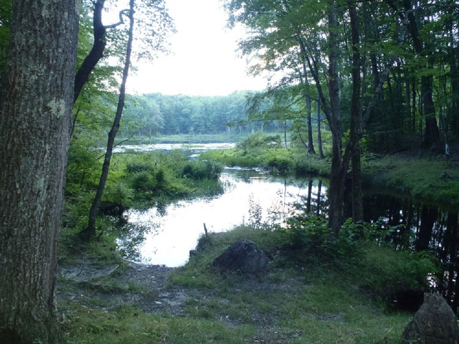
View of the access point to Moose Pond from H Road

Moose Pond is located right off H Road in Acton (see The Maine Atlas and Gazetteer map 2 A1). Access to the pond is via a rough boat launch visible from H Road. The launch, which is located by the outlet, could accommodate small trailered boats. A small wooden plaque affixed to a nearby tree states that motorboats are not allowed on the pond. However, a review of the ME Department of Inland Fisheries and Wildlife fishing rule book does not state that engines are forbidden. Hence, it appears that the plaque may reflect the views of local homeowners. Moose pond is a real beauty! It covers 27 acres and has a maximum depth of 20 ft. The substrate consists of coarse sand, rubble, and boulders. The water column is crystal clear and stays oxygenated throughout the summer. Click here for a depth map and more fisheries information.


Continue reading

Digiprove sealCopyright protected by Digiprove

Largemouth bass fishing on Killick Pond, Hollis, Maine (August 8, 2012)

View Map

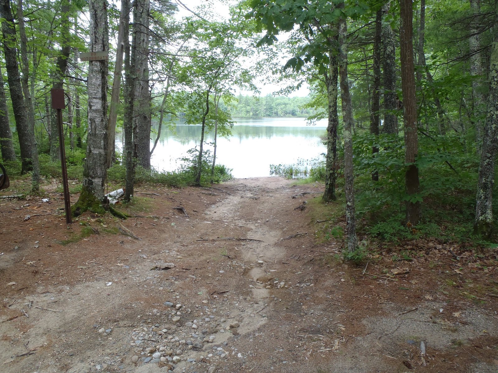
Access point by the outlet of Killick Pond on Berube Lane

Killick Pond is located off Killick Pond Road or Sand Pond Road in Hollis (see The Maine Atlas and Gazetteer map 4 E4). The pond can be accessed with some difficulty from several directions, two of which are described below: (1) Take Route 35 (Bonny Eagle Road) south and turn right on Killick Pond Road. After about 1 mile, turn right on Berube Lane (an improved dirt road).  Pass the Poland Spring plant on the left, the high-voltage lines, and the “Killick Pond Wildlife Management Area” panel. The road narrows and becomes rough as it enters the woods. The pond outlet is about 0.2 miles further down on the left. Only hand-carried crafts can be launched from this access point. Beware of the gate at the beginning of Berube Lane. It was open when I checked out the area in late afternoon but I do not know if it is closed at some point in the evening. (2) Take Route 35 (Bonny Eagle Road) south and turn right on Sand Pond Road just after crossing the Saco River. Drive on Sand Pond Road for about 2.3 miles before turning left on Old Stage Road (an improved dirt road).


Continue reading

Digiprove sealCopyright protected by Digiprove

Largemouth bass fishing on Wards Pond, Limington, Maine (August 3, 2012)

View Map


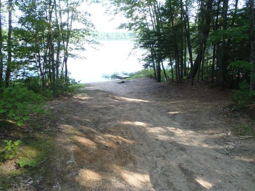
Access point to Wards Pond

August 10, 2015 UPDATE: One of my blog readers (thanks, Tom) reported that the unnamed forest road into Wards Pond off Route 11 (Sokokis Avenue) was recently posted as “PRIVATE PROPERTY” and is therefore no longer accessible to the public. Feel free to let us know if you can find another drivable way into this pond so that I can share it with everyone. Wards Pond is located off Route 11 in North Limington (see The Maine Atlas and Gazetteer map 4 D5). Access to the pond is as follows: drive west on Route 25 (Ossipee Trail), turn right on Route 11 (Sokokis Avenue), drive on Route 11 for 0.7 miles before turning right on an unnamed forest road (right across from Helmlock Lane). This trail, which is rough but passable with a car, reaches the north-western end of the pond after about 0.2 miles. A sandy launch allows access for small trailered boats, as well as hand-carried craft.


Continue reading

Digiprove sealCopyright protected by Digiprove