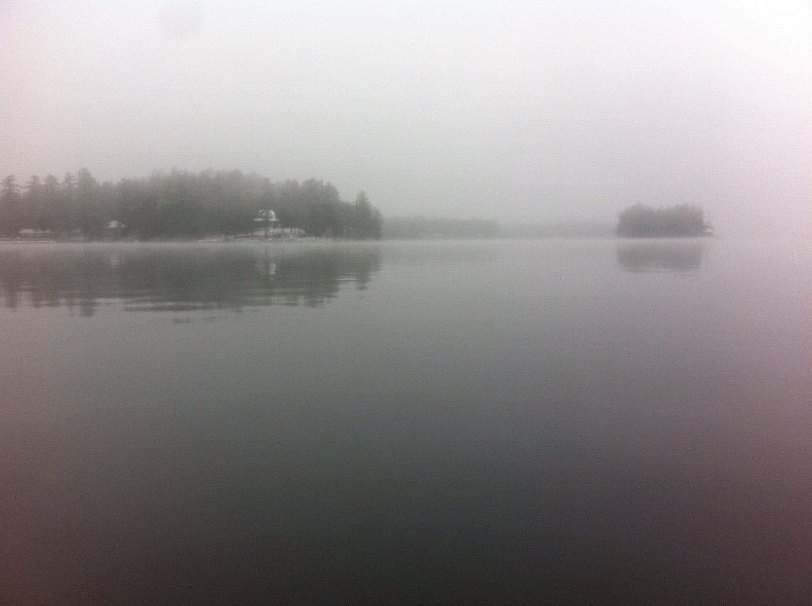
A cool, foggy, and drizzly morning on Sebago Lake
 Copyright protected by Digiprove
A cool, foggy, and drizzly morning on Sebago Lake
Copyright protected by Digiprove 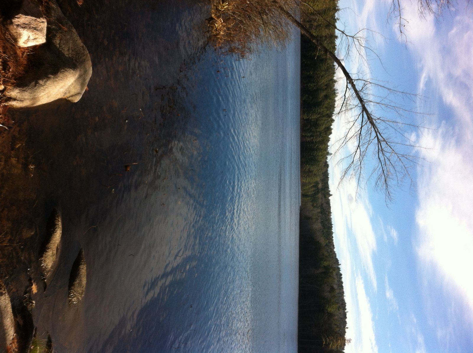
View of Cold Rain Pond from the public access point
Cold Rain Pond is located in Naples (see The Maine Atlas and Gazetteer map 4 B5). Access to this pond is as follows: hang a left onto Kimball Corner Road when driving north on Route 114/11 in North Sebago. Turn left on Tiger Hill Road after just over 3 miles. This road is located across from Lake House Road (look for the sculptures of three black bears). The access point to the pond, which is on the left after about 0.5 mile, consists of an unimproved launch which cannot accommodate trailered boats. Be aware that Tiger Hill Road is rough, rutted, and bouldery, and may require a 4X4 vehicle.
Copyright protected by Digiprove Joel and I decide to again visit Otter Pond #2 in Standish (see The Maine Atlas and Gazetteer map 5 D1) after our successful trout fishing experience last week (click here on how to access this 12-acre pond). The Department of Inland Fisheries and Wildlife nicely stocks the pond with a truckload of brook trout each spring and fall. Click here for a depth map and more fisheries information.
Copyright protected by Digiprove 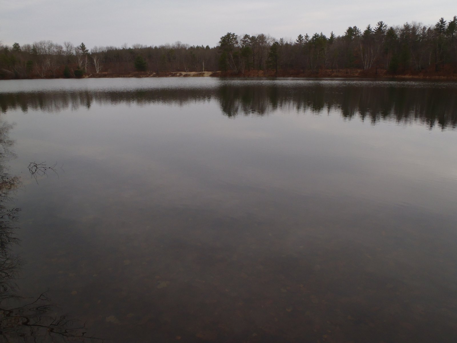
General view of Otter Pond #2, with the railroad tracks in the background
Otter Pond #2 is located in Standish (see The Maine Atlas and Gazetteer map 5 D1). This pond is one of four small ponds located right off Route 35 (Chadbourne Road). Access to the pond is on foot from the two parking lots located on either side of the bridge over the old railroad tracks. The shortest way in is to walk about a quarter mile on the tracks until the pond appears on the right. Joel and I instead take the long way in (> 0.5 mile), via the Mountain Division Trail which starts at the largest of the two parking lots. We are wheeling Joel’s canoe, and all our fishing gear, on this nice gravel road which passes next to Otter Pond #2. Our goal today is to troll for trout.
Copyright protected by Digiprove Sebago Lake (see The Maine Atlas and Gazetteer map 5 C1) is considered a prime landlock salmon fishery in southern Maine. The state enhances the natural reproduction that occurs in the Crooked River by stocking the lake with juvenile salmon annually in the spring. I arrive in East Sebago off Route 114 at 9:30 am and am picked up at the shoreline by my sons Joel and Jonathan who have been trolling the area since early morning. They have focused their attention above and around the sunken ridge that lays about 1.5 miles to the east of East Sebago. This ridge rises from >100 ft deep and levels off about 35-40 ft below the surface of the water. It’s a fine morning: cool (lower 40’s), mostly overcast with heazy sunshine, and a gentle southwestern breeze. Rain is forecast for late afternoon. The surface water temperature varies from 59° to 61°F, and the fish finder marks fish 15-30 ft down. We’re using downriggers to troll our lures at these depths. We present spoons of different shapes and colors to figure out what the salmon want today. Jonathan caught an 11” baby salmon on a yellow-colored Mooselook spoon before my arrival. We seriously tease him about it!
Copyright protected by Digiprove I’m meeting up with my family at Sebago Lake State Park in Naples. They are spending the long Labor Day weekend camping. I’m dropping by at 5: 30 pm to go fishing for largemouth bass on Sebago Lake with my son Joel for a few hours. We launch his boat from the beach and motor around Thompson Point, past Witch Cove and towards the thoroughfare to Sebago Cove under Route 114. Our goal is to hit the set of boat docks across from Camp Mataponi. We arrive around 6 pm and start pitching 5” soft stickbaits against and underneath the docks and in the emergent aquatic vegetation which grows abundantly in the shallows on the backside. Joel catches a 15” largemouth on his very first cast, which is quite exciting. We hit the docks pretty hard but do not get another bite for 30 minutes.
Copyright protected by Digiprove 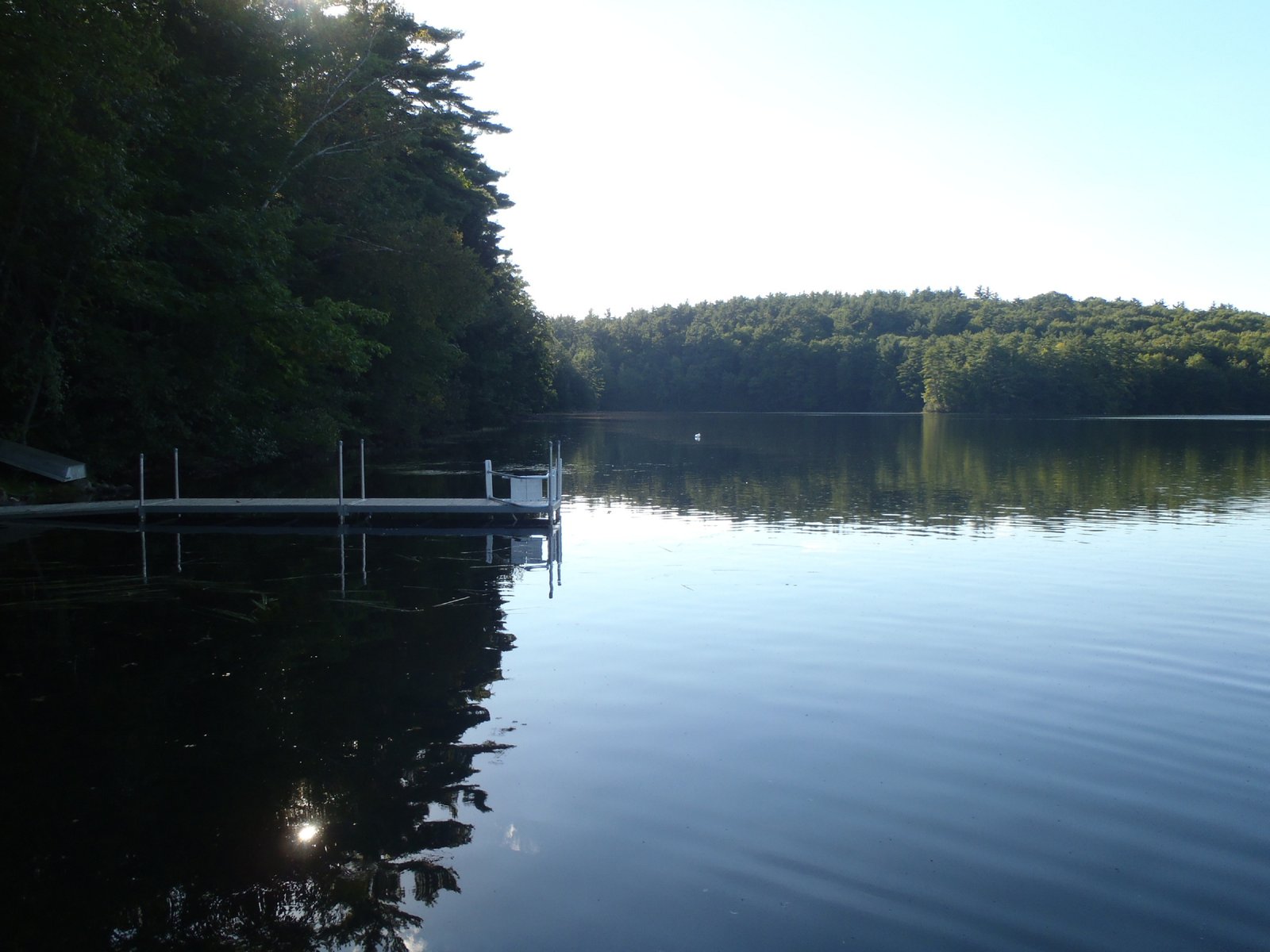
View along the southern shoreline of Adams Pond
Adams Pond is located in the town of Bridgton (see The Maine Atlas and Gazetteer map 4 B4). This delightful small pond is located next to Route 107 off Adams Pond Road. Access to the pond is via its small outlet which runs underneath Adams Pond Road. Only hand-carried craft can be launched from this point. Adams Pond is completely wooded on its southern and western shoreline. Adams Pond Road, which runs along the eastern shore of the pond, has a handful of houses. Much of the northern shoreline is occupied by Camp Pondicherry, a girl scout facility. The pond covers 45 acres and has a maximum depth of 51 ft and a mean depth of 20 ft. The bottom consists of clean sand interspersed with boulders and cobbles. The water is absolutely crystal clear, with visibility down to 25 ft! Click here for a depth map and more fisheries information.
Copyright protected by Digiprove 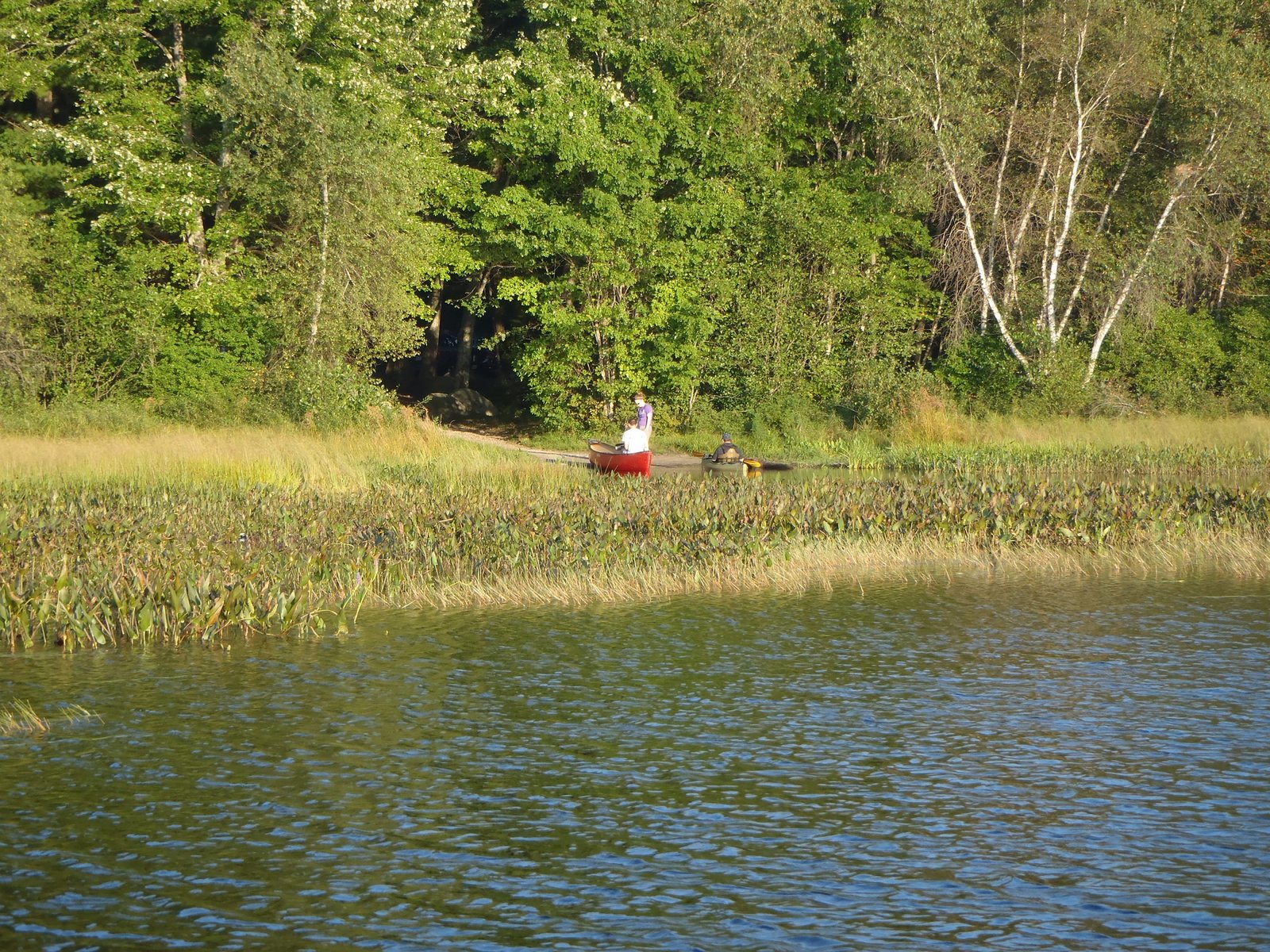
Highland Lakes’ unimproved public access point off Mast Road
Highland Lake (634 acres) is located in the towns of Windham and Fallmouth in Cumberland county (see The Maine Atlas and Gazetteer map 5 D3). Unfortunately, the only public access to this beautiful lake is via an unimproved boat launch off Mast Road which only accommodates hand-carried craft. Tom and I go through the effort of hand-carrying my 12-ft aluminum boat and 8 HP engine from the parking area to the water to provide us with mobility and a stable platform to go after largemouth bass this evening. The pond is divided into two basins: the northern part is deep, whereas the southern part is much shallower and weedy. The outlet dam is at the southern-most tip. The pond has a mean and maximum depth of 19 ft and 67 ft, respectively. Click here for a depth map and more fisheries information.
Copyright protected by Digiprove 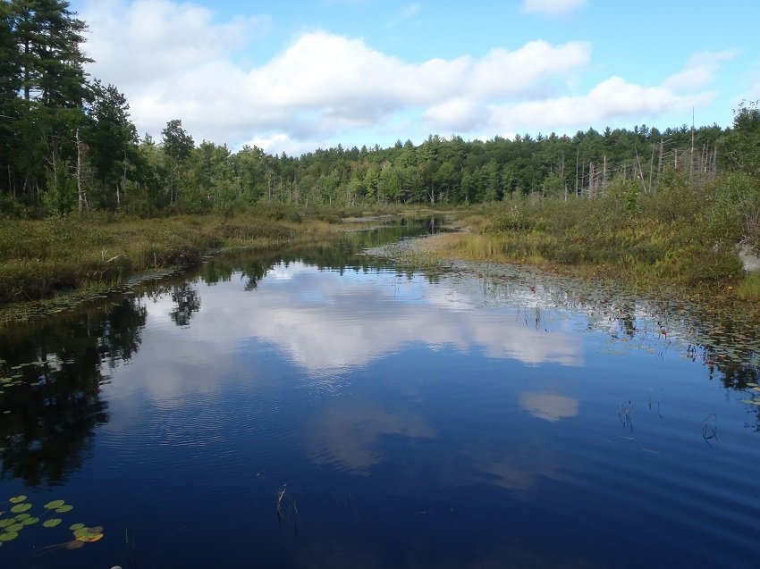
View of the Muddy River
Holt Pond is located in the town of Bridgton (see the Maine Atlas and Gazetteer map 4 B4). From Route 302 in Naples, turn left on Perley Road and drive for about 1.4 miles until the intersection with Chaplin Mills Road. Drive straight on Grist Mill Road (a gravel road) and turn left after about 0.2 miles. Continue until you reach a small parking area. Holt Pond can be reached via its outlet, called the Muddy River (although calling it a “river” is a misnomer since it has little or no current), by walking down the left trail that start at the parking area. It takes about three minutes to reach the outlet. Only small craft can be launched from the Muddy River because of the carry-in. It takes another 10 minutes of paddling on the Muddy River to reach the pond itself. Continue reading
Copyright protected by Digiprove 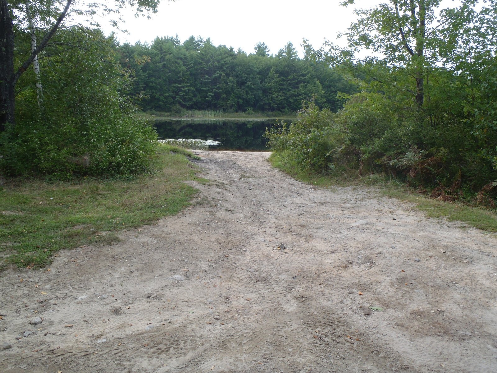
The rough boat launch on Little Watchic Pond
Copyright protected by Digiprove Reach out to us. We would love to hear from you
