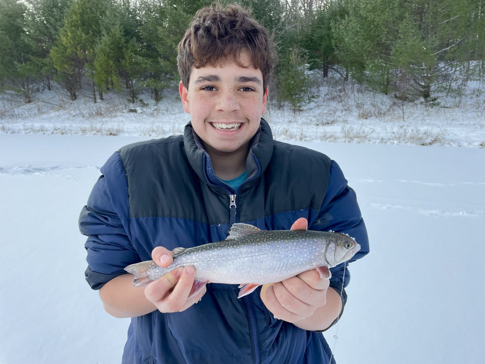
Ice fishing for brook trout on Big Eddy Pond, Topsham, Sagadahoc County, Maine (December 27, 2021)


The first brookie of the morning told us we were on to something.


Big Eddy Pond is a small four-acre body of water located in the back of the Topsham Transfer Station at the end of Townsend Way, off Foreside Road in Topsham, ME. The pond is not shown on The Maine Atlas and Gazetteer map. Click here for directions on how to reach this sweet spot.


Continue reading

Digiprove sealCopyright protected by Digiprove
Fishing for brook trout on Round Pond in Lyman, York County, Maine (November 20, 2021)


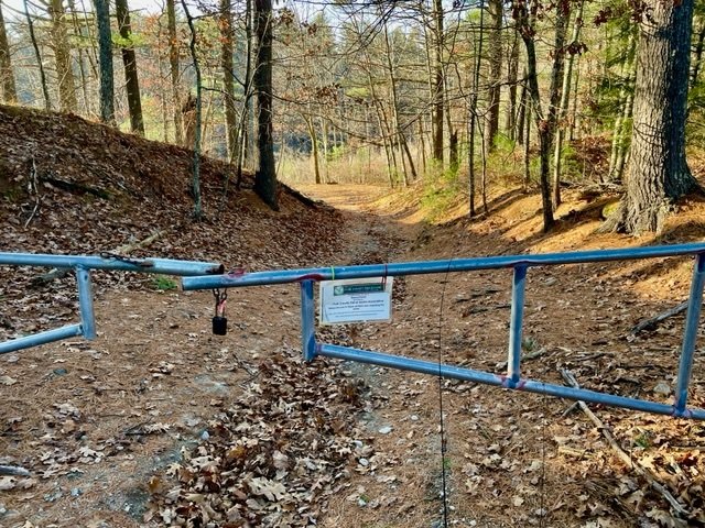
The entrance to Round Pond is gated but the public is welcome to pass through.


Round Pond is a small, 6-acre body of water located in Lyman, York County, Maine (see The Maine Atlas and Gazetteer map 2 B5). The public access point to this pond is located where Mast Road joins Route 35 (a.k.a. Goodwins Mills Road), right next to the York County Fish and Game Association (YCFGA) building and across from the association’s shooting range. Beware that fishing can become noisy when the shooting range is active, which is fortunately not the case during my visit. The access point is gated by the YCFGA to block vehicles, but anglers are welcome to walk to the pond via a 200-ft. gravelly trail. Hand-carried craft can be launched from the tiny sandy beach by the water’s edge. Plenty of parking is available along the shoulder of Mast Road.

Continue reading

Digiprove sealCopyright protected by Digiprove

Fishing for brook trout on Dutton Pond in Knox, Waldo County, Maine (November 13, 2021)


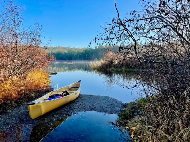
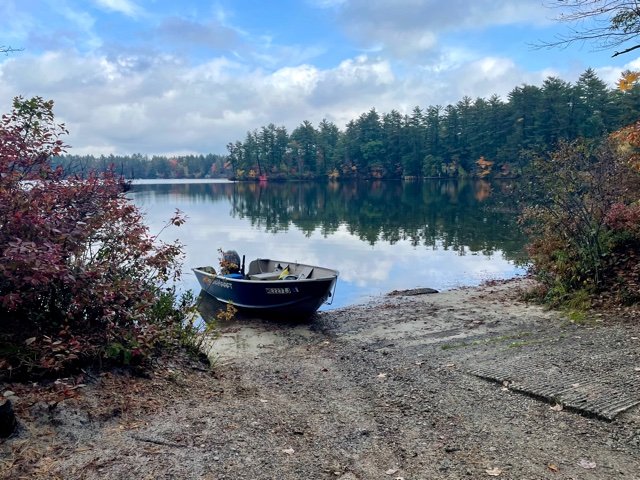
The boat launch is flooded because of the excessive rains from last night


Dutton Pond is a 35-acre body of water located in the town of Knox in Waldo County, Maine (see The Maine Atlas and Gazetteer map 14 A3). Access to this pond is via Dutton Pond Road, right off Route 137 (Belfast Road). A rough boat launch is located off Dutton Pond Road and can accommodate small trailered boats. Very limited parking is available at the launch (one, maybe two, vehicles but without trailers). Vehicles with trailers can best be parked by Route 137.

Continue reading

Digiprove sealCopyright protected by Digiprove

Fishing for brook trout on Bartlett Pond in Livermore, Androscoggin County, Maine (November 3, 2021)


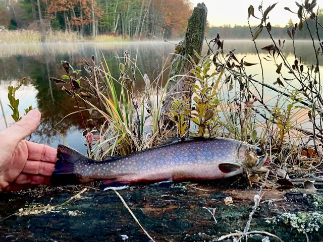
The first brookie of the morning is a beauty.


Bartlett Pond is a 26-acre body of water located in Livermore, Androscoggin County, Maine (see The Maine Atlas and Gazetteer map 11 B5). Access to this pond is by the outlet right next to Norlands Road via an unimproved dirt boat ramp that can accommodate small, trailered boats. Limited parking is available along the road shoulder.

Continue reading

Digiprove sealCopyright protected by Digiprove

Fishing for brook trout on Round Pond in Livermore, Androscoggin County, Maine (October 30, 2021)


The morning is gloomy and drizzly.


Round Pond is a 161-acres body of water located in Livermore, Androscoggin County, Maine (see The Maine Atlas and Gazetteer map 11 A5). Access to this pond is located right off busy Route 4 (Auburn Road), which connects the Lewiston/Auburn metro area to Livermore Falls. This access road leads to an excellent hard-top boat launch and spacious parking, both of which are embedded in a beautiful softwood woodlot.

Continue reading

Digiprove sealCopyright protected by Digiprove

Fishing for brook trout on Crystal Pond in Turner, Androscoggin County, Maine (October 30, 2021)


Crystal Pond, a.k.a. Beals Pond, is a 47-acre body of water located in Turner, Androscoggin County, Maine (see The Maine Atlas and Gazetteer map 11 C4). This pond is situated right next to busy Route 4 (Auburn Road), which connects the Lewiston/Auburn metro area to Livermore Falls further north. A spacious parking lot is available by the public access point. Keep in mind that only hand-carried craft can be launched from this location because a boat ramp is unavailable. In fact, access to the water is down a half-dozen cement steps.

Continue reading

Digiprove sealCopyright protected by Digiprove

Fishing for brook trout on Otter Pond #4 in Standish, Cumberland County, Maine (October 29, 2021)


Otter Pond #4 is small and pretty


Otter Pond #4, a.k.a. Snake Pond, is a small, 6-acre body of water located off Route 35 in Standish, Cumberland, Maine (see The Maine Atlas and Gazetteer map 5 D1). Click here for directions on how to reach this pond. Beware that you will pass several other ponds on your way in which are not stocked. Make sure to follow the directions to get to the designated target.

Continue reading

Digiprove sealCopyright protected by Digiprove

Fishing for brook trout on Sand Pond in Baldwin, Cumberland County, Maine (October 16, 2021)


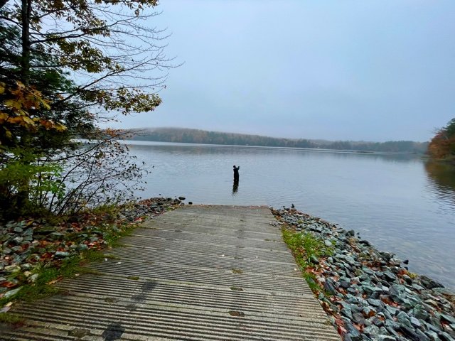
View of Sand Pond from the hard-top launch.


Sand Pond is a 61-acre body of water located in Baldwin, Cumberland County, Maine (see The Maine Atlas and Gazetteer map 4 D4). The public access point is located next to the town beach along the western shore of the pond on Sand Pond Road, off Bridgton Road (a.k.a. Route 11). This launch is improved and can accommodate trailered boats. Plenty of parking is available across from the public beach.

Continue reading

Digiprove sealCopyright protected by Digiprove

Fishing for brook trout on Upper Pond, Deboullie Maine Public Reserved Land, Aroostook County, Maine (September 28, 2021)


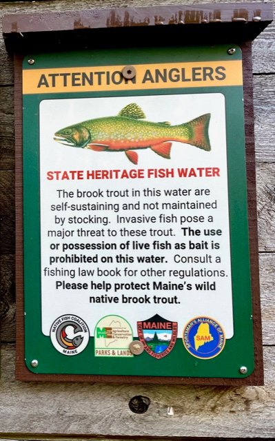
Upper Pond has special regulations to protect its self-sustaining brook trout population


Upper Pond is a pretty 17-acre body of water located in the Deboullie Maine Public Reserved Land (T15 R9 WELS) in northern Aroostook County (see The Maine Atlas and Gazetteer map 63 A1). This township is situated about 27 driving miles northwest of the village of Portage (by Portage Lake), and 10 to 15 miles as the crow flies due east of the Allagash River Waterway. Access is via a series of well-maintained gravel logging roads. I was concerned about getting lost on this extensive network of roads but found excellent driving directions for Red River Camps which is located in the middle of the Public Reserved Land. It also helps that the directions are indicated by brown “RRC” (Red River Camps) and blue “State of Maine Public Reserved Land” signs. Finally, be aware that the T15 R9 WELS township is located in the North Maine Woods. Access (coming from the south) to this region is via the Fish River Checkpoint where one must stop to obtain an entry permit and pay a nominal day-use fee and overnight camping fee. Numerous campsites are available within the Deboullie township. Come prepared to be self-sufficient because the closest store is at Portage.


Continue reading

Digiprove sealCopyright protected by Digiprove

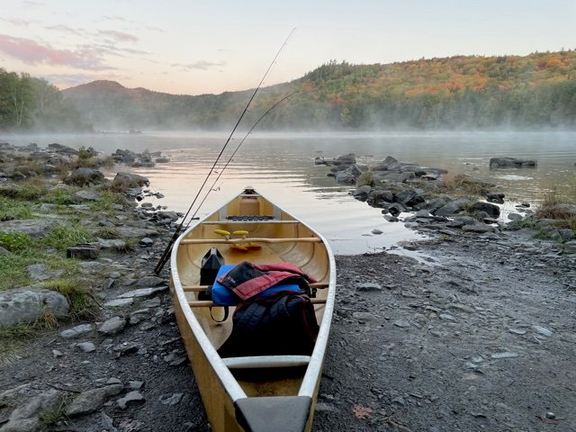
Fishing for brook trout on Deboullie Pond, Deboullie Maine Public Reserved Land, Aroostook County, Maine (September 28, 2021)


What a beautiful way to start my morning troll!


Deboullie Pond is a gorgeous 262-acre body of water located in the Deboullie Maine Public Reserved Land (T15 R9 WELS) in northern Aroostook County (see The Maine Atlas and Gazetteer map 63 A1). This township is located about 27 driving miles northwest of the village of Portage (by Portage Lake), and 10-15 miles as the crow flies due east of the Allagash River. Access is via a series of well-maintained gravel logging roads. I was concerned about getting lost on this extensive network of roads but found excellent driving directions for Red River Camps which is located in the middle of the Public Reserved Land. It also helps that the directions are indicated by brown “RRC” (Red River Camps) and blue “State of Maine Public Reserved Land” signs. Finally, be aware that the T15 R9 WELS township is located in the North Maine Woods. Access (coming from the south) to this region is via the Fish River Checkpoint where one must stop to obtain an entry permit and pay a nominal day-use fee and overnight camping fee. Over a dozen campsites are available within the Deboullie township. Come prepared to be self-sufficient because the closest store is in Portage…

Continue reading

Digiprove sealCopyright protected by Digiprove