
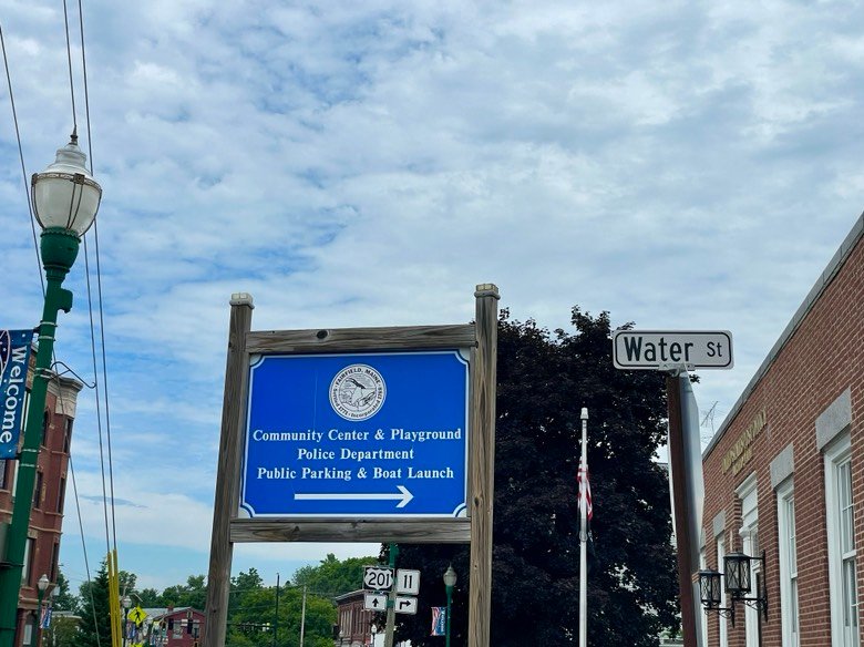
Follow this sign on Main Street to reach the boat launch.
My target today is the stretch of the Kennebec River flowing through Fairfield in Somerset County, Maine (see The Maine Atlas and Gazetteer map 76 A3). This location is new to me, so I do not know what to expect. I “flew” over the area using Google Maps in preparation for this trip. The section below the boat launch seems to consist largely of a reservoir created by the dam located two miles further downstream. My initial interest is to fish below that dam because such a location typically provide good bass-holding habitat (click here, here, and here for examples) but neither the Gazetteer nor Google Maps show a way to put a boat in at or near that spot. Instead, viewed from above on Google Maps, I find what looks like promising fishing grounds between the Bridge Street bridge just above the Fairfield boat launch and the railroad bridge about a quarter mile further upstream. Access to this portion of the river is via a large hard-top boat launch located off Mill Street/Water Street in downtown Fairfield, across from the police station. The launch is part of a municipal park. It offers dozens of parking spaces, but – for some strange reason – not for vehicles with trailers (fundamental design flow!).
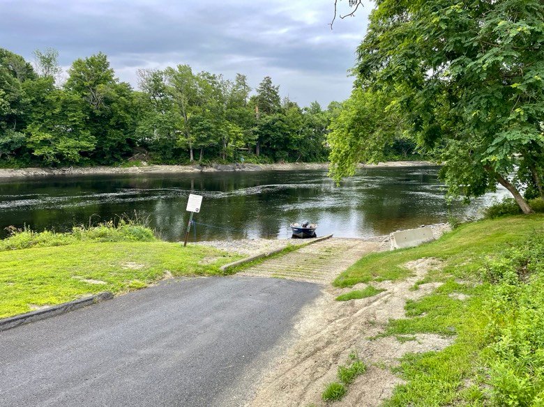
The boat launch is spacious and the parking lot is huge.
I have explored the bass fishing on the Kennebec River flowing between Waterville and Skowhegan (click here, here, here, here, and here) over the years. By far, the best spot is right in front of the Shawmut Dam located a couple of miles upstream of Fairfield. I’m completing the puzzle by visiting the stretch flowing through town. Upon arriving, I take a quick look at the river from the Bridge Street bridge. OMG, things look totally different from the impression I got viewing this section on Google Maps! The water level is 3 ft. lower than expected, exposing the entire shoreline. I suspect that the river has dropped in response to different water flow needs by the dam operators. The rocky and shallow water prevents any safe passage with a motor boat upstream from the bridge. I need to change my original game plan.
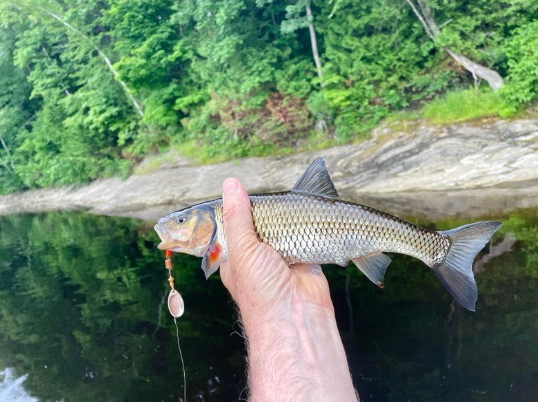
A triple F… I did not drive all the way up to here to catch chubs!
I arrive at the launch at 7 am and have the boat in the water 15 minutes later. The sky is overcast and forecast to remain so for the next couple of hours. The air temperature is in the high 60’s with a pleasant breeze. The water temperature clocks in at a surprisingly cool 69°F. Before totally giving up on my original plan, I go behind Libbey Island located in front of the launch (beware of the shallow bedrock in the passage between it and the smaller of the two Gulliver Islands!) and motor up towards the road bridge over the river. That whole stretch of water is no good for smallmouth bass fishing because it is shallow – only 2 to 4 ft. deep – and fast moving. I go up to the bridge and let myself drift back downstream, all the while fishing with a #2 Mepps spinner and a 4-inch soft stickbait rigged “wacky-style”. Over the next hour or so, I catch two “triple Fs” (f*cking fall fish…) and three tiny <12 inches smallmouth bass. I am thoroughly underwhelmed with the results but not surprised given the lousy habitat conditions.
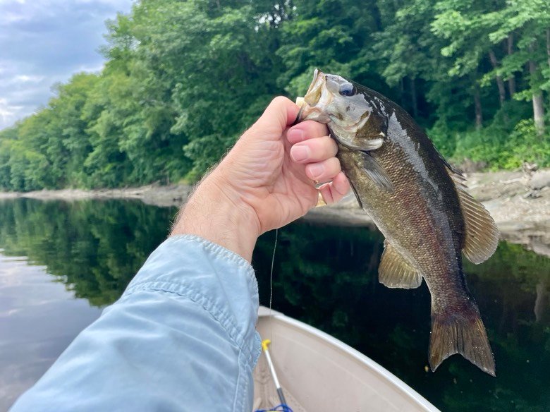
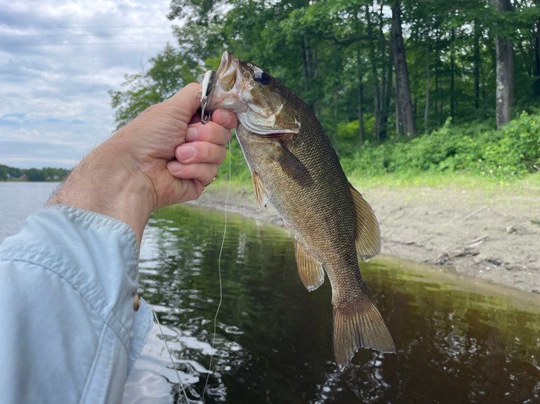
This little guy fell for a white wacky worm.
The area in front of the boat launch looks more promising: my fish finder shows water depths varying from 6 ft. to 15 ft. with a highly convoluted bottom which appears to consist mainly of bedrock. The water also shows interesting-looking current seams. I probe the deeper habitat with a trusted weighted tube bait but fail to connect with any bass. I move closer to the two Gulliver Islands to probe the shoreline using a #2 Mepps spinner and the wacky worm and still find no takers. Wow, this is not looking good… I am left to fish the area I was trying to avoid, i.e., the reservoir-like stretch downstream of the Gulliver Islands. As expected, the current slows down, the bottom becomes flat and featureless, and the water depth towards the middle increases to 20+ ft. I focus my efforts along the shoreline on the left bank (looking downstream) in water 5 to 10 ft. deep. The habitat is not promising because the shoreline is either solid bedrock or bedrock overlain by a layer of silt. Any interesting features such as root balls or fallen trees are high and dry on shore on account of the low water levels. I succeed in coaxing a 14-inch smallmouth to fall for my wacky worm. The time has come to turn around and head back to the launch. I switch out my lures for a 4-inch floating Rapala and a Rebel Crawfish crankbait, and slowly troll my way upstream along the same shoreline. 20 minutes later, I hook and land a 15-inch bronzeback on the Rapala; that is the last – and largest – fish of the morning. All and all, the action over the past 3 hours was slow, unproductive, frustrating, and disappointing. I suspect that the fishing would have been better if the water levels had been higher and the river flowed more vigorously. I would be interested in hearing the impression of other anglers who have fished this small stretch of the Kennebec River in the past. Feel free to drop a line in the comments section.
The fishing is slooow… Notice the exposed shoreline. The water level is down by 3 feet.
The results: I landed 4 smallmouth bass (largest = 15 inches) in 3 hours of slooow fishing.
Was the information in this blog useful? I invite you to share your thoughts and opinions. Also, feel free to discuss your fishing experiences at this location.
Tight Lines, y’all.
~ ~ ~ ~ ><« ({(« º >
