Fishing for brook trout on Lower East Richardson Pond in Adamstown, Oxford County, Maine (September 27, 2020)

View Map


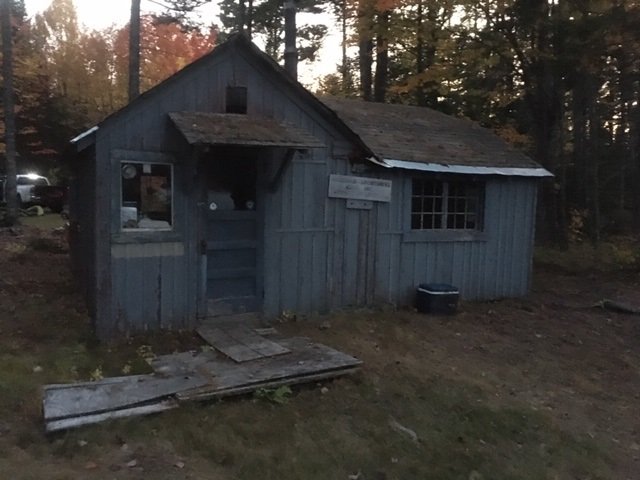
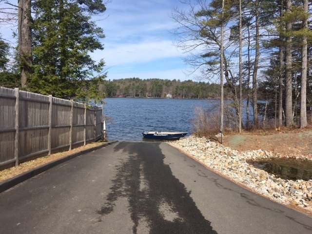
This old cabin sits at the end of the rutted forest road along the shoreline of Lower East Richardson Pond


Lower East Richardson Pond is a remote 54-acre body of water located off Route 16 in the “Upper Richardson – Maine Public Reserved Land Unit” of Adamstown Township in northern Oxford County (see The Maine Atlas and Gazetteer map 28 E2). To access this pond from Route 16, drive north in the direction of Rangeley, turn right on Upper Dam Road located across from West Richardson Pond, stay on that dirt road for 0.8 miles, turn left on an unmarked dirt road (no need for a 4X4 vehicle) and drive for 0.5 mile until you reach another unmarked forest road on the left. Beware that a four-wheel-drive vehicle is required to drive the 1000 ft or so on that road to the pond. So it may be best to leave your vehicle at that intersection and walk in. To our surprise, my son Joel and I find an old cabin on the shoreline that seems to belong to a local rod and gun club. Note: the link to the Google Map above points to Upper East Richardson Pond. The lower pond is the smaller body of water just to the south of it.


Continue reading

Digiprove sealCopyright protected by Digiprove
Fishing for brook trout on Upper East Richardson Pond in Adamstown, Oxford County, Maine (September 26, 2020)

View Map


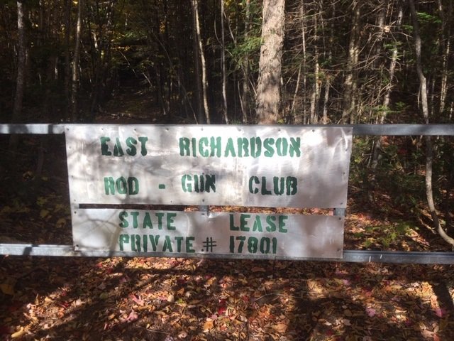
You’ve driven about 1000 ft too far if you reach this gate.


Upper East Richardson Pond is a remote 85-acre body of water located off Route 16 in the “Upper Richardson – Maine Public Reserved Land Unit” of Adamstown Township in northern Oxford County (see The Maine Atlas and Gazetteer map 28 E2). To access this pond from Route 16, drive north in the direction of Rangeley, turn right on Upper Dam Road located across from West Richardson Pond, stay on that dirt road for 0.8 miles, turn left on an unmarked dirt road (no need for a 4X4 vehicle) and drive for about a mile or so up to a gate on your left. The trail behind that gate leads to a cabin on the shore of the pond which appears to be used by a local rod and gun club. I do not see any no trespassing signs at the gate, but a kind person at the cabin informs me that the “public” access point is actually located down a short unmarked trail off the road about 1,000 ft before the gate (diagonally across from a small open clearing). The rough footpath from the road to the shore is less than 500 ft long.


Continue reading

Digiprove sealCopyright protected by Digiprove

Fishing for brook trout and rainbow trout in the Saco River, North Conway, Carroll County, New Hampshire (July 6, 2020)

View Map


The put-in is just below the River Road bridge in downtown North Conway. I fish the large pool to the left. The municipal park is to the right, upstream of the bridge.


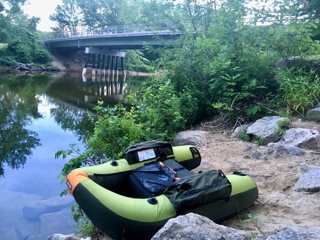
I spend the long July the 4th weekend camping with family members at the Glenn Ellis Family Campground located right off Route 302 in Glenn, NH (see the New Hampshire Atlas and Gazetteer map 45 G9). This well-maintained and well-organized campground sits on the beautiful Saco River. I brought my fishing equipment in order to catch some of the numerous trout that live in this river. I fished a different section of this waterbody two days ago, and I am eager to explore, and blog about, other sections.


Continue reading

Digiprove sealCopyright protected by Digiprove

Fishing for brown trout and rainbow trout in the Saco River, Glen, Carroll County, New Hampshire (July 4, 2020)

I spend the long July the 4th weekend camping with family members at the Glenn Ellis Family Campground located right off Route 302 in Glenn, NH (see the New Hampshire Atlas and Gazetteer map 45 G9). This well-maintained and well-organized campground sits on the beautiful Saco River. I brought my fishing equipment in order to catch some of the numerous trout that live in its waters. I fished this waterbody during our camping trip last year, and I’m ready to explore, and blog about, other sections.

Continue reading

Digiprove sealCopyright protected by Digiprove

Fishing for brook trout on Cold Water Brook Pond in Kennebunk, York County, Maine (June 14, 2020)

View Map


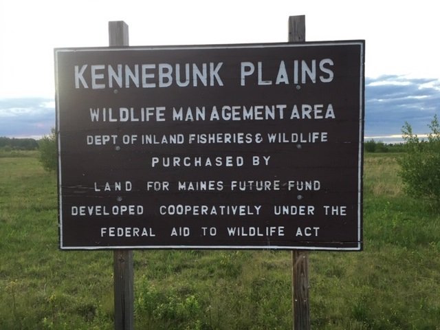
Parking is in front of the WMA sign off Route 99


Cold Water Brook Pond is a small 3-acre body of water located next to Route 99 (Webber Hill Road) in Kennebunk, York County, Maine (see The Maine Atlas and Gazetteer map 2 D5). The pond is embedded within the 1,756-acre Kennebunk Plains Wildlife Management Area (WMA). Access to the pond is via a wide sandy road which starts at the WMA parking lot next to Route 99. This sandy road is gated because no motorized vehicles are allowed within the WMA. It takes about 15 minutes to walk from the parking area to the pond. I decide not to transport my canoe on the canoe wheels because of the distance, the sandy road, and the need to walk through a forest trail to reach the pond. Instead, I carry my light-weight and back-packable fishing float tube. Unfortunately, I cannot give precise directions on how to get to the pond. At some point you will need to enter the woods down an unmarked trail in order to reach your destination. I used my phone’s GPS to keep me moving in the right direction without getting lost or disoriented. Before leaving for my trip, I also created a mental picture by visualizing the general location of the pond using Google Maps.


Continue reading

Digiprove sealCopyright protected by Digiprove

Fishing for brook trout on Spicer Pond in Shapleigh, York County, Maine (June 12, 2020)

View Map


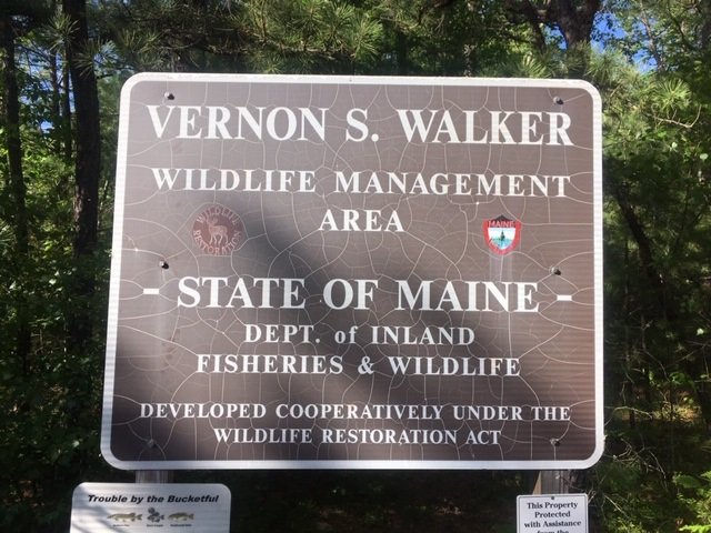
Spicer Pond is embedded within the Vernon S. Walker Wildlife Management Area. This sign is by the parking area.


Spicer Pond is an 11-acre body of water located off Route 11 (Shapleigh Corner Road) in North Shapleigh, York County, Maine (see The Maine Atlas and Gazetteer map 2 A2). The pond is embedded within the 5,617-acre Vernon S. Walker Wildlife Management Area (WMA) which sprawls over the towns of Newfield, Limerick, and Shapleigh. Access to the pond is via a wide and well-maintained ATV trail which starts at the WMA dirt parking lot off Route 11. The trail is gated such that no cars can drive within the WMA. It takes about 15 minutes to walk from the parking area to the pond. I decide not to transport my canoe on the canoe wheels because of the distance and the sandy trail, but instead carry my light-weight and back-packable fishing float tube.

Continue reading

Digiprove sealCopyright protected by Digiprove

Fishing for landlocked Atlantic salmon on Pierce Pond, Somerset County, Maine (May 25, 2020)

View Map


I’m on my annual extended Memorial Day weekend fishing pilgrimage to Pierce Pond located in Somerset County, Maine (see The Maine Atlas and Gazetteer map 30 A2). Click here for a more detailed description of this water body. My son, nephew, and I are spending five days camping rough on one of the island camp sites on Upper Pond owned and operated by Cobbs Camp. Unfortunately, we won’t be staying at the Cobbs cabins on Lower Pond this year on account of the coronavirus pandemic.


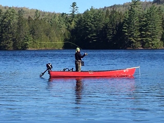
Catching landlocked Atlantic salmon on the dry fly is such a blast!

Continue reading

Digiprove sealCopyright protected by Digiprove

Fishing for landlocked Atlantic salmon on Long Lake, Naples, Maine (May 3, 2020)

View Map


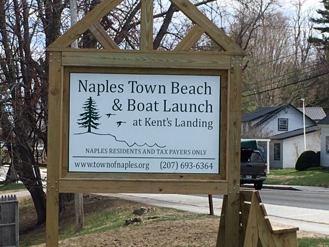
The sign for the boat launch in downtown Naples off Route 302. Beware that this access is reserved for Naples residents.


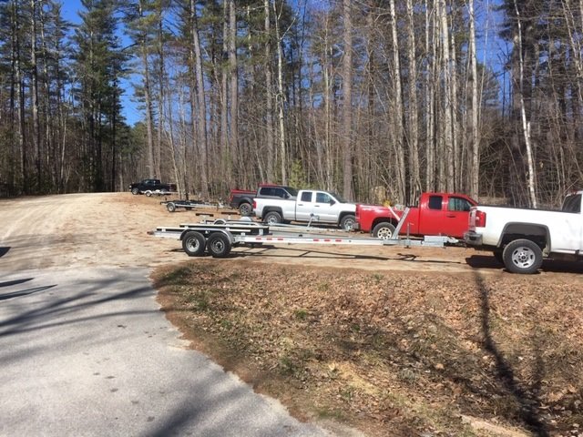
Long Lake is a 4,867-acre body of water located in the towns of Naples, Bridgton, and Harisson in Cumberland County, Maine (see The Maine Atlas and Gazetteer map 4 A5). I access the lake this morning via the Naples town beach and boat launch at Kent’s Landing in downtown Naples, right off Route 302. It is only after I take a picture of the sign by Route 302 and read its fine print that I realize this access is in fact not public but available for use only by “Naples residents and taxpayers”… No one was checking when I arrived at 5:15 this morning and the entrance is not gated, so I do not know how vigorously this rule is enforced during normal operating hours. Two other boat launches are available: one at Plummer Landing in Bridgton off Route 302, and the other at the northern tip of the lake off Route 35 in Harrison. The launch at Kent’s Landing in Naples is spacious and improved, and provides ample parking, plus bathroom facilities.

Continue reading

Digiprove sealCopyright protected by Digiprove

Fishing for rainbow trout on Pennesseewassee Lake, Norway, Oxford County, Maine (April 25, 2020)

View Map


The public boat launch has ample parking space


Pennesseewassee Lake (a.k.a. Norway Lake) is a 922-acre body of water located in Norway, Oxford County, Maine (see The Maine Atlas and Gazetteer map 11 D1). Public access is through a high-quality boat launch off Waterford Road. Coming in from Harrison, drive north on Route 117 all the way to the lake. Turn left at the stop sign on Waterford Road, go for 0.3 miles, and then turn right at the boat launch sign. An aggressive annual stocking program has turned this pretty lake into an easily-accessible regional rainbow trout fishery powerhouse, with secondary fishing for landlocked Atlantic salmon and brook trout. The lake is moderately developed and consists of a larger lower basin and a smaller upper basin, separated by several islands. During open-water fishing, most people tend to focus their efforts on the lower basin because of its closeness to the boat launch. One negative about this general area is that the constant traffic on Lake Road (i.e., Routes 117/118) is visible and audible from the water. Click here for a depth map and more fisheries information. Maine’s general fishing laws for the South Zone apply during spring open-water fishing.

Continue reading

Digiprove sealCopyright protected by Digiprove

Fishing for splake on Trickey Pond, Naples, Maine (April 24, 2020)

View Map


Trickey Pond has a nice hard-top boat launch


Trickey Pond is a 311-acre body of water located in Naples, Cumberland County, Maine (see The Maine Atlas and Gazetteer map 4 B5). Public access is through a high-quality boat launch located right off Route 114 at the southern end of the pond. Ample parking is available. The pond and I are old acquaintances. I have ice fished it multiple times over the last 25 years (click here and here for recent examples) on account of its high-quality salmon, splake, and smallmouth bass fishery. In fact, I have caught my largest landlocked salmon (5.5 pounds) and splake (4.5 pounds) through the ice out of this pond. However, beware that even though the quality of the fish is high, the quantity is extremely low… One definitely has to put in the time to decipher this little gem and earn the right to land a fish.

Continue reading

Digiprove sealCopyright protected by Digiprove