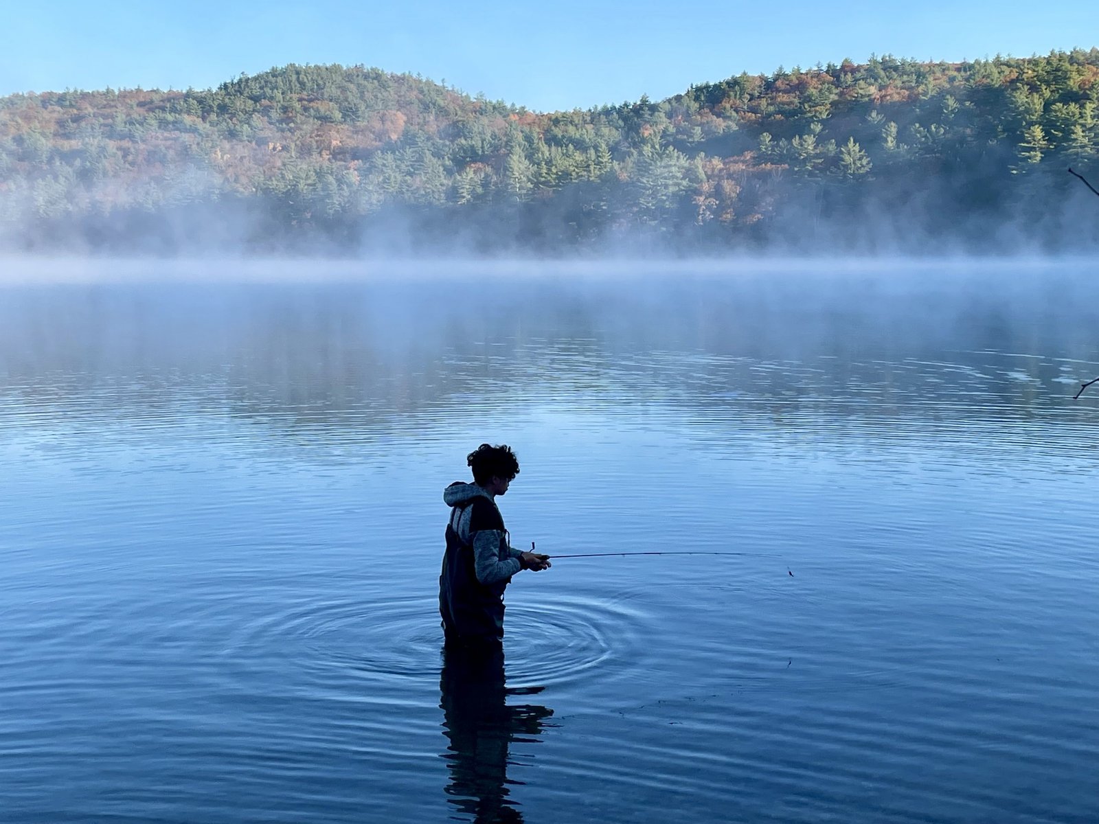
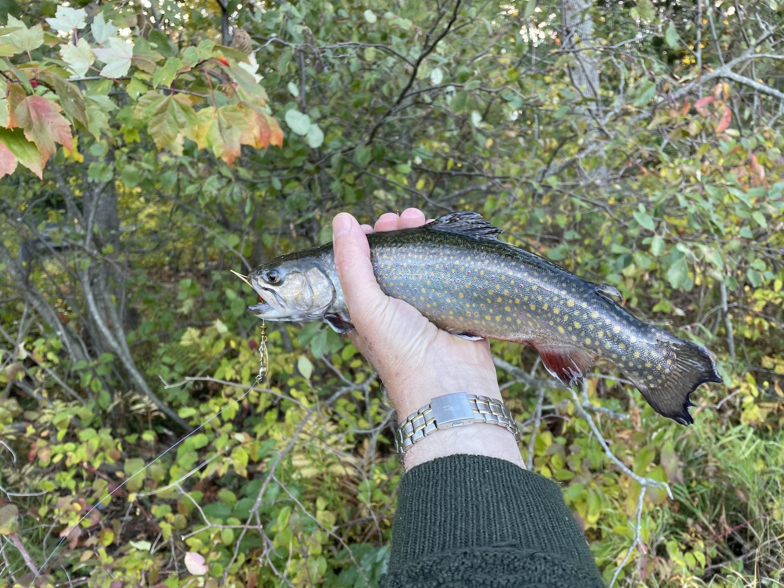
Fishing for brook trout on Long Pond in Parsonsfield, York County, Maine (October 22, 2022)


It is chilly but wind-still this morning, and the brookies are biting!


Long Pond is a 275-acre body of water located in Parsonsfield, York County, Maine (see The Maine Atlas and Gazetteer map 4 D2). The public access is at the southern tip of the pond and consists of a narrow and poorly maintained hardtop boat launch located on Road Between the Ponds, off Joe Berry Road. This pond is moderately developed and embedded in a forested region in the northwestern corner of York County, a couple of miles from the NH border. It is open to angling between October 1 and December 31 but using artificial lures only and with the stipulation that all salmonids must be released alive and at once.


Continue reading

Digiprove sealCopyright protected by Digiprove
Fishing for brook trout on Kalers Pond in Waldoboro, Lincoln County, Maine (October 8, 2022)


You have reached your destination!


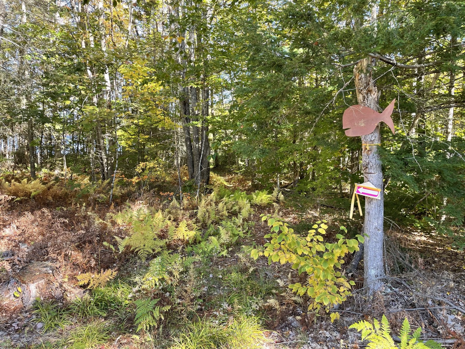
Kalers Pond covers 87 acres and is located in Waldoboro, Lincoln County, Maine (see The Maine Atlas and Gazetteer map 13 E4). Drive east on Route 1 and turn left on Kalers Pond Road by the Dow Furniture store (look for the green store sign next to Route 1) about 1.5 miles before reaching downtown Waldoboro. Keep in mind that Kalers Pond Road is privately owned, although it is not posted. Access to the pond is via permissive trespass over this gravel road. Drive down for about 800-1000 ft. until you see a wooden brown fish nailed to a tree to the left. It indicates the start of the 200 ft. rough wood trail that leads to the pond. Anglers can only launch hand-carried craft from this location. Parking is limited to a single vehicle by the fish sign. If necessary, leave your vehicle at the parking area across from the furniture store by Route 1. It takes less than 10 minutes to walk from there to the pond. I urge everyone to respect the wishes of the local property owners and follow the rules in order to keep access to this pond open and available to the public into the future.


Continue reading

Digiprove sealCopyright protected by Digiprove

Fishing for Brook trout on Flying Pond in Vienna, Kennebec County, Maine (October 8, 2022)


I’m so glad that I pinpoint the school of brook trout in a matter of minutes!


Flying Pond is a 360-acre body of water located in the town of Vienna, Kennebec County, Maine (see The Maine Atlas and Gazetteer map 20 E3). The public access point is located next to busy Route 41 (Pond Road) and consists of a hardtop boat launch with ample parking available along the shoulder of the road.


Continue reading

Digiprove sealCopyright protected by Digiprove

Fishing for brook trout on Round Pond in Baxter State Park, Piscataquis County, Maine (September 23, 2022)


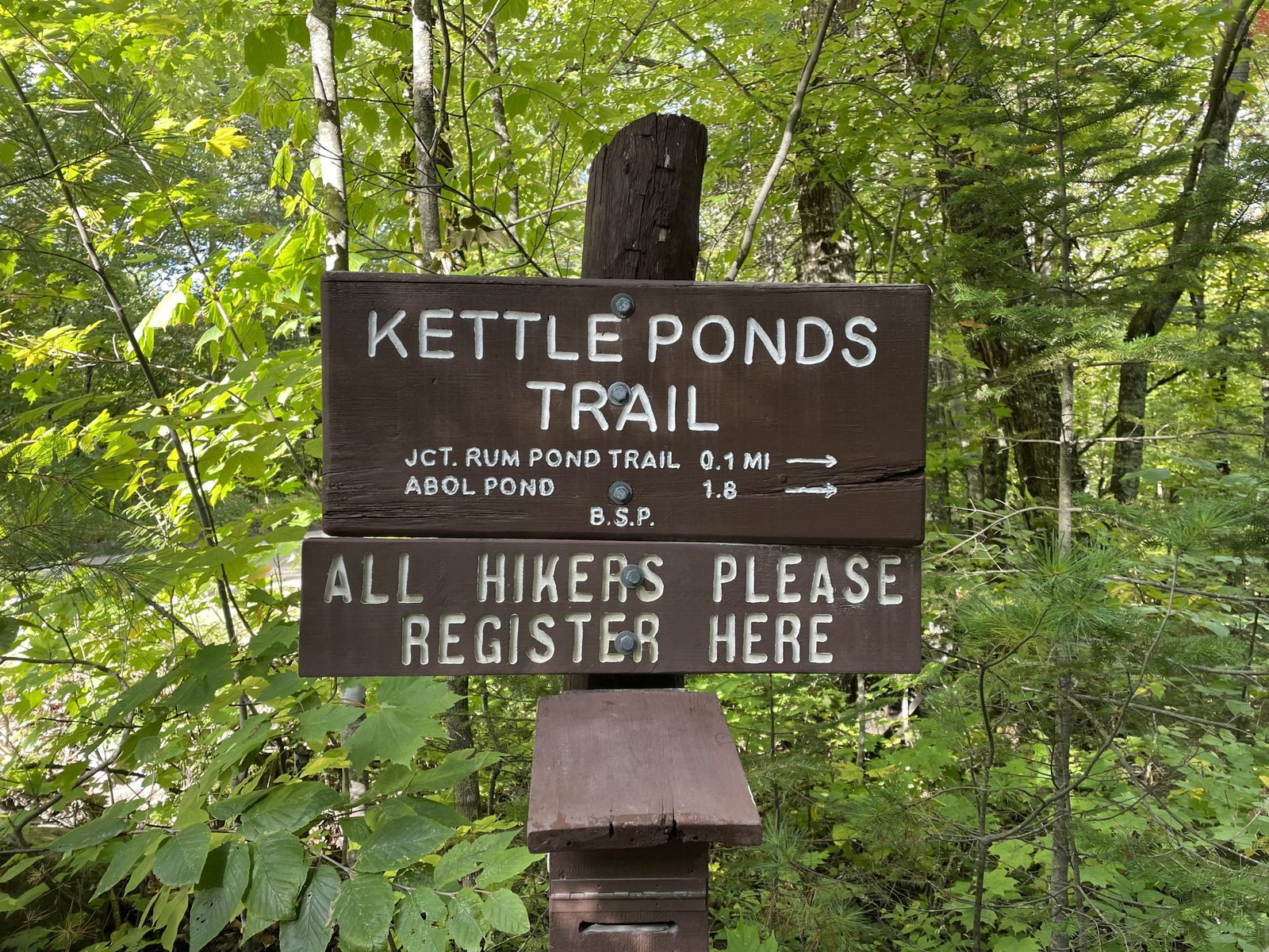
Look for this sign on the Park Tote Road for the trail to Round Pond.


Round Pond (a.k.a. Caverly Pond) is located in the southern portion of Baxter State Park (BSP) in Piscataquis County, Maine (see The Maine Atlas and Gazetteer map 51 D1). To reach this location, drive 1.1 miles on the Park Tote Road from Togue Pond Gate, the southern entrance to the park. Look for the brown “Kettle Ponds Trail” sign on your right. Very limited parking is available on the road shoulder. The pond is located about 600 ft. down a well-maintained trail. One can rent a locked BSP canoe at the put-in for 1$ per hour. Talk to the Togue Pond gate attendant to obtain the keys, if interested. I do not require this option because I brought my own craft. I do note that the BSP canoe does not have swimming vests or paddles, which the user needs to provide.


Continue reading

Digiprove sealCopyright protected by Digiprove

Fishing for brown trout and smallmouth bass on Horseshoe Pond in Stoneham and Lovell, Oxford County, Maine (September 3, 2022)


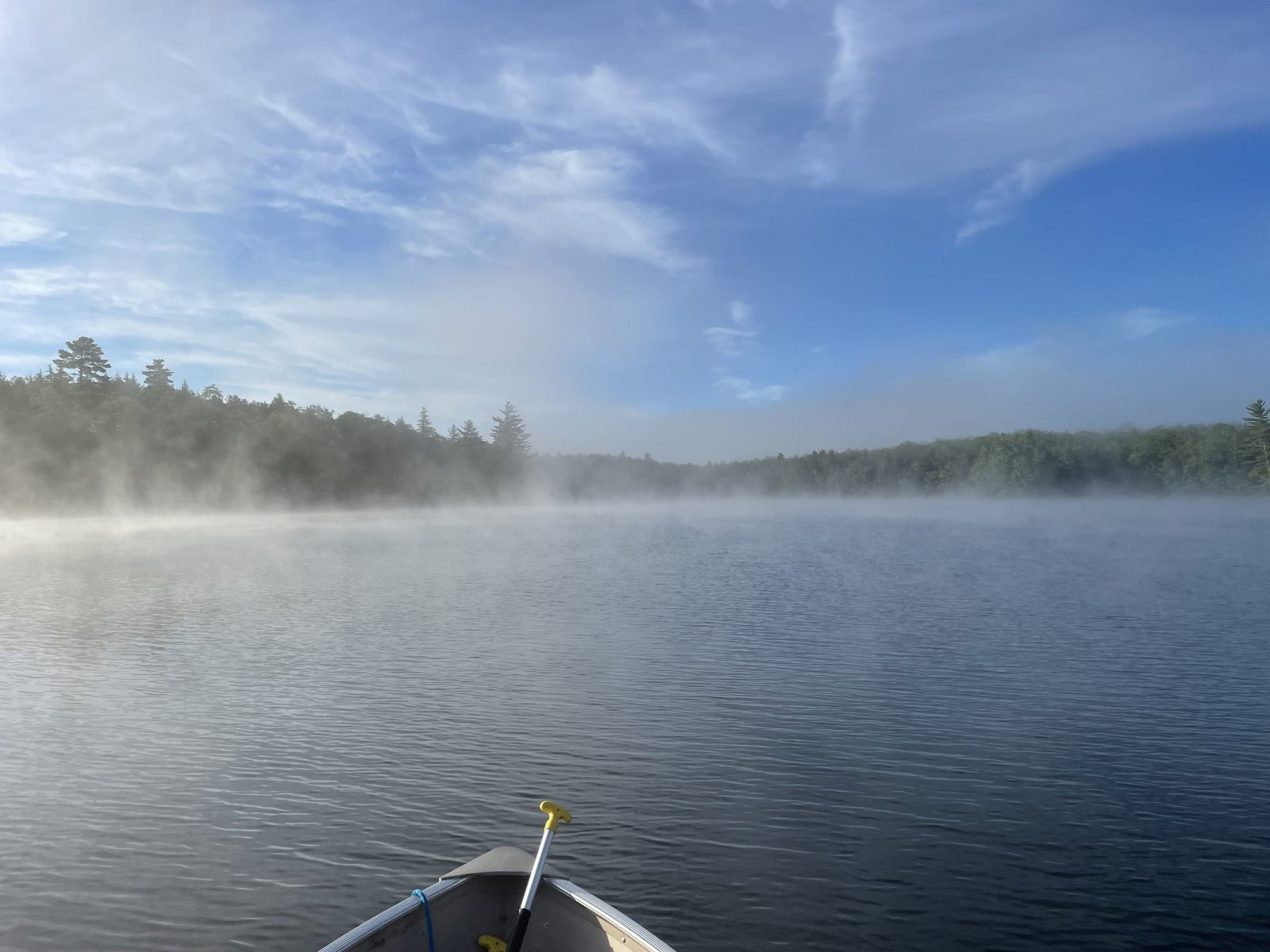
The rising sun is quickly burning off the morning fog. I love this vibe!


Horseshoe Pond is a 132-acre body of water located in the towns of Stoneham and Lovell within the boundary of the White Mountain National Forest in southern Oxford County, Maine (see The Maine Atlas and Gazetteer map 10 D1). The access point is by the outlet at the end of Horseshoe Pond Road, a well-maintained gravel road. The boat launch is unimproved but can easily accommodate small, trailered boats. Beware that motorboats with engines over six horsepower are not allowed.


Continue reading

Digiprove sealCopyright protected by Digiprove

Fishing for brook trout and brown trout on the Saco River, North Conway, Carroll County, New Hampshire (July 7, 2022)


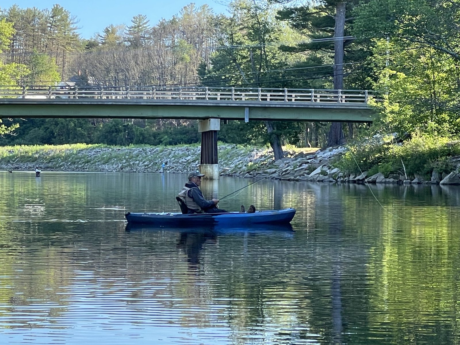
Our target pool this morning is located downstream of the the River Road bridge in North Conway


The fam and I are spending the long July 4th holiday week camping at Yogi Bear’s Jellystone Park located right off Route 302 in Glenn, NH (see the New Hampshire Atlas and Gazetteer map 45 G9). This well-maintained and well-organized campground sits right next to the beautiful Saco River, which has its source in the heart of the White Mountains at Crawford Notch and flows southeasterly into Maine at Fryeburg. I brought my fly-fishing gear in order to catch some of the numerous trout that call this river home. My target this morning is a large, slow-moving pool located just downstream of the bridge on River Road in downtown North Conway. Keep in mind that this general location turns into a circus during the summer months as it is a popular take-out point for hordes of people floating down the Saco River on tubes from further upstream. Kids also use several rope swings along the banks of the pool to jump into the water. The only time to properly fish this section is early in the morning before the crowds arrive or late in the evening after the crowds have left. Parking is available in a small area along the shoulder of River Road opposite the bridge. Keep in mind that the maintained parking lot next to the bridge is managed by the town of North Conway. It costs $20 to park there after 8 am, when an attendant is present to collect the fee.

Continue reading

Digiprove sealCopyright protected by Digiprove

Fishing for brook trout on Moose Pond in Bowtown Township, Somerset County, Maine (May 30, 2022)


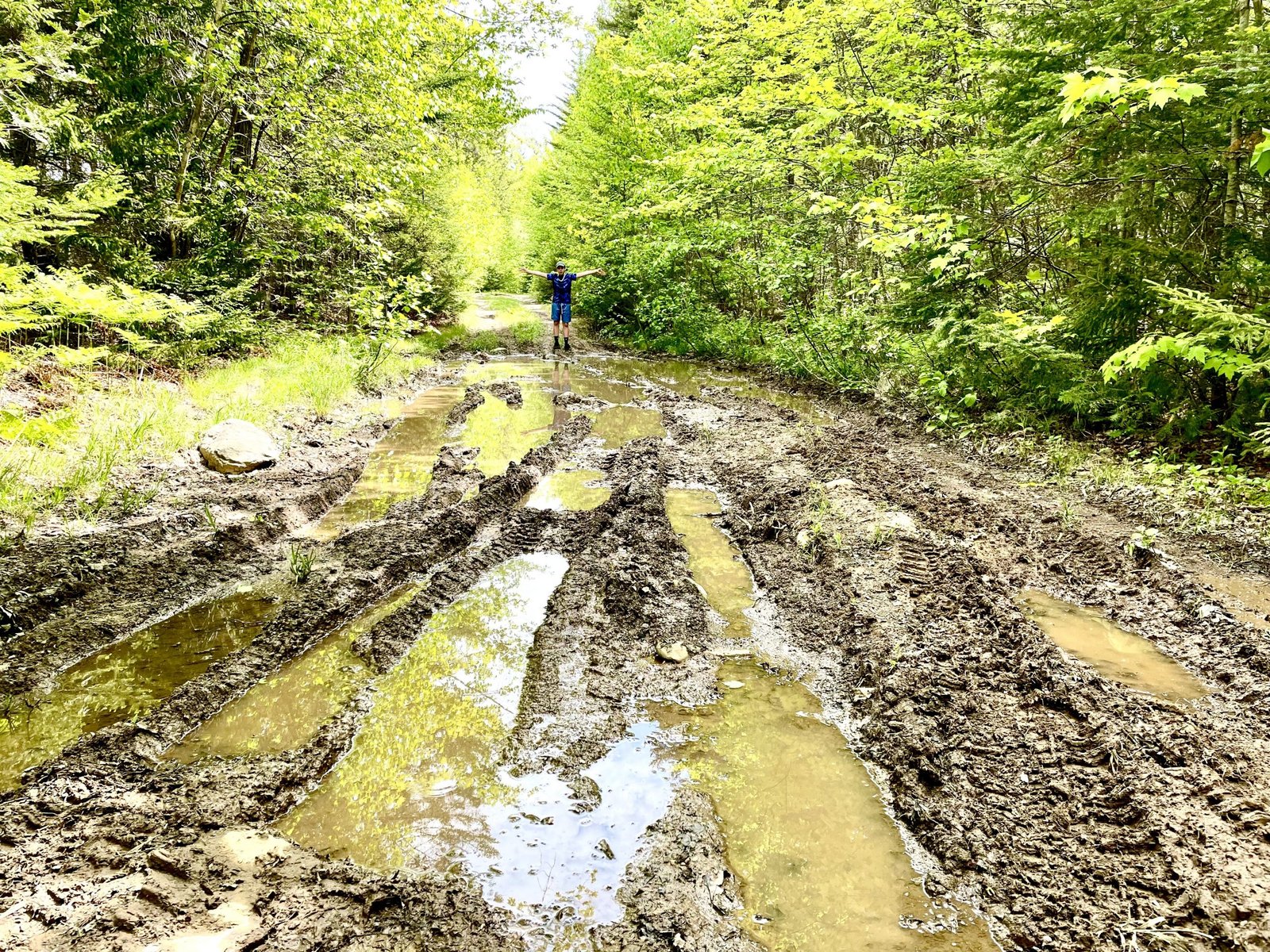
Parts of the unimproved forest road leading into Moose Pond have been ripped open by four-wheelers during mud season.


Moose Pond covers 11 acres and is located in Bowtown Township in Somerset County, Maine (see The Maine Atlas and Gazetteer map 30 A2). This pond can be reached as follows: from North New Portland (see The Maine Atlas and Gazetteer map 30 E2), drive north on Long Falls Dam Road for about 24.5 miles and turn right on Carrying Place Road at the sign for Cobb’s Camps. Drive down this gravel logging road for 10.1 miles until the yield traffic sign and turn left on Bowtown Road (note: Google Maps calls this road “Otter Pond Road”). Pass Harrison Camp on the left, cross Pierce Pond Stream and drive for another 4 miles or so until the road forks. Hang a right at that fork and look for a rough and unimproved forest road to your right a couple of hundred feet further down. Don’t bother driving down this forest road in the spring because several sections of it have been plowed open by four-wheelers and 4X4 vehicles during Mud Season, creating deeply-rutted pools of soft mud. It’s about a half-mile walk from Bowtwon Road to the pond.


Continue reading

Digiprove sealCopyright protected by Digiprove

Fishing for brook trout on King Pond in Bowtown Township, Somerset County, Maine (May 29, 2022)


King Pond covers 16 acres and is located in Bowtown Township in Somerset County, Maine (see The Maine Atlas and Gazetteer map 30 A2). Five of us are spending four fabulous days during the long Memorial Day weekend fishing Pierce Pond for landlocked Atlantic salmon and brook trout, as well as some of the smaller water bodies in the surrounding watershed for brook trout. We are staying “in style” at one of the cozy cabins at Cobb’s Pierce Pond Sporting Camps located on the shore of the lower basin of Pierce Pond. A critical benefit of staying at Cobb’s Camp is access to their locked canoes that are strategically stored at various local ponds, plus detailed directions on the locations of the trailheads that connect Pierce Pond to those water bodies. King Pond is publicly accessible from land, although I have not attempted to reach it via the old logging roads and trails shown on map 30 A2.


Continue reading

Digiprove sealCopyright protected by Digiprove

Fishing for brook trout on Split Rock Pond in Bowtown Township, Somerset County, Maine (May 29, 2022)


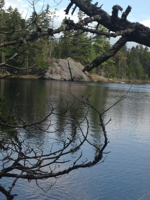
And that is how Split Rock Pond got its name!


Split Rock Pond covers 6 acres and is located in Bowtown Township in Somerset County, Maine (see The Maine Atlas and Gazetteer map 30 A2). Five of us are spending four fabulous days during the long Memorial Day weekend fishing Pierce Pond for landlocked Atlantic salmon and brook trout, as well as some of the smaller water bodies in the surrounding watershed for brook trout. We are staying “in style” at one of the cozy cabins at Cobb’s Pierce Pond Sporting Camps located on the shore of the lower basin of Pierce Pond. A critical benefit of staying at Cobb’s Camp is access to their locked canoes that are strategically stored at various local ponds, plus detailed directions on the locations of the trailheads that connect Pierce Pond to those water bodies. This particular pond is accessible to the public from inland, although I have not attempted to reach it via the old logging roads shown on map 30 A2.


Continue reading

Digiprove sealCopyright protected by Digiprove

Fishing for brook trout on Overset Pond in Greenwood, Oxford County, Maine (May 21, 2022)


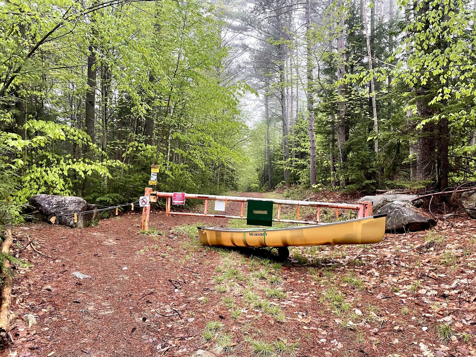
The gate on Overset Pond Lane is closed. I have to haul in all my equipment using my canoe wheels.


Overset Pond covers 18 acres and is located in Greenwood, Oxford County, Maine (see The Maine Atlas and Gazetteer map 10 C4). To reach this location, drive north on Route 219 (Greenwood Road) into Greenwood. Turn left on Patch Mountain Road and drive down this road for 0.5 miles. Then, turn right on Willis Mills Road and after 0.1 mile, turn right again on Overset Pond Lane. Note that the latter goes through privately-owned woodlands. The landowners allow public access via permissive trespass. However, they also installed a sturdy gate that is locked during mud season to prevent vehicles from destroying Overset Pond Lane. The sign says that the gate will be open on May 23. To reach the pond when the gate is locked (as it is for me today), leave your vehicle at the small parking lot by the gate and walk for about ¾ of a mile. Be aware that Overset Pond Lane is deceptively steep! It took me 30 minutes of serious huffing and puffing to pull up all my gear on my canoe wheels, but only 20 minutes to return back to the gate at the end of my trip. At some point, the lane bifurcates. Look for a small brown sign by the tree line on the left just passed the fork that says “Overset”. That’s the start of the 2.2 mile Overset Pond hiking trail which loops around the pond. It takes about 8 to 10 minutes to reach the access point from here (hang a left at the bifurcation on the trail at the southern tip of the pond). Note that this trail is too rough to accommodate canoe wheels. Hence, everything has to be carried in by hand from the road to the access point. I do have a sneaky, but unproven, suspicion that the gravel road to the left of the bifurcation may in fact extend to the access point which also has a campsite and a fire ring.

Continue reading

Digiprove sealCopyright protected by Digiprove