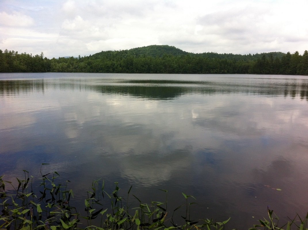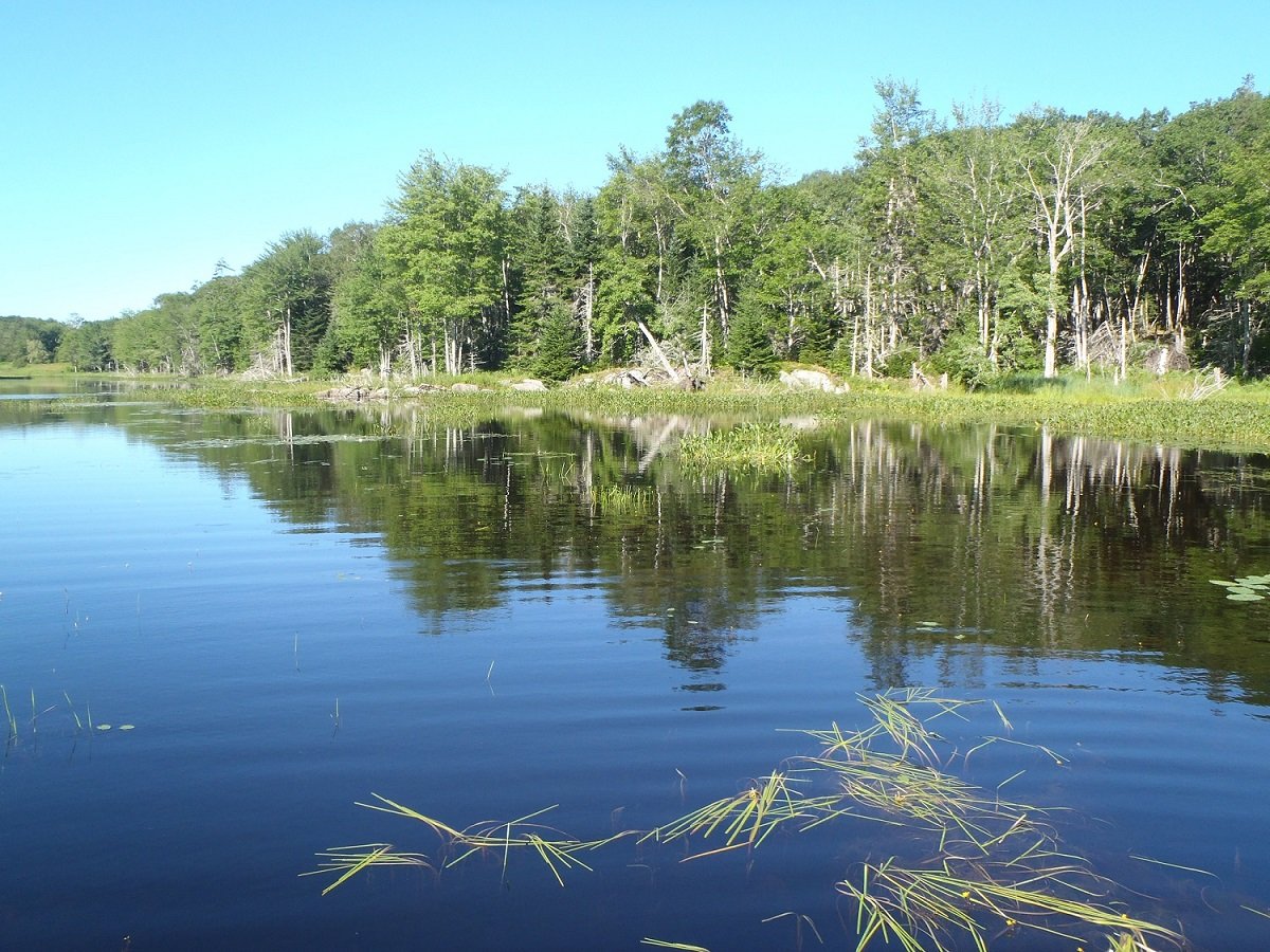
Largemouth bass fishing on Spectacle Pond #1 in Porter, Maine (September 1, 2013)

View Map

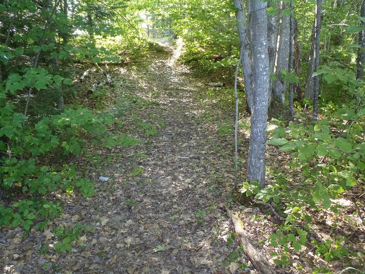
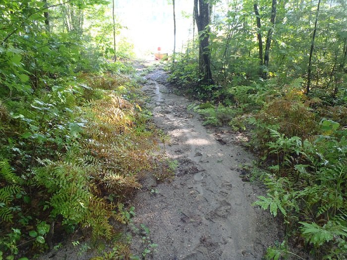
The rough footpath leading to the access point on Spectacle Pond #1

The rough footpath leading to the access point on Spectacle Pond #1

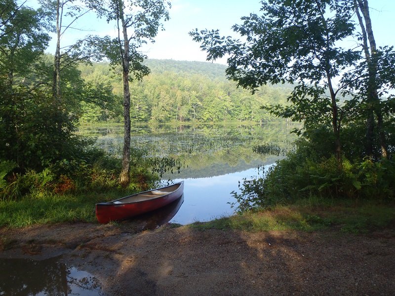
Spectacle Pond #1 is a 57-acre body of water located in Porter, Maine (see The Maine Atlas and Gazetteer map 4 D2. Note also that on the attached Google Map above, the target pond is the one just below the red pin). Drive north from South Hiram/Kezar Falls unto Spec Pond Road. Follow this road for about 1.0 mile. The pond can be accessed two different ways, as follows: (a) Drive up to mailbox #50 (located just before Little Lane) on Spec Pond Road and turn right on the open area, from which a rough forest road snakes it way towards the pond.  I say “snake” because the road is narrow and curvy and is hemmed in by small trees at several locations. I didn’t try to drive my small car down it, but I suspect that a larger pickup truck may have more trouble getting through. The road ends at a sandy area with a fire pit overlooking the pond. (b) Stay on Spec Pond Road and drive past Little Lane for just under 0.2 miles. A rough foot path shoots down towards the pond on the right. Park your vehicle on the shoulder of the road.


Continue reading

Digiprove sealCopyright protected by Digiprove
Largemouth bass fishing on Spectacle Pond #2 in Porter, Maine (September 1, 2013)

View Map

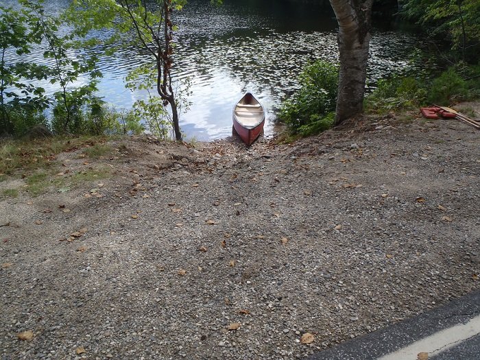
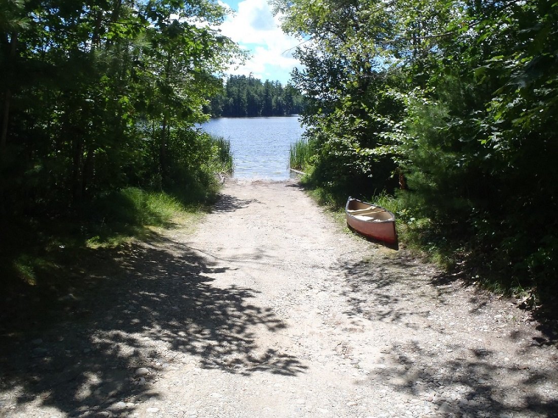
Access point to Spectacle Pond #2

Access point to Spectacle Pond #2

Spectacle Pond #2 is a 45-acre body of water located in Porter, Maine (see The Maine Atlas and Gazetteer map 4 D2). Drive north from South Hiram/Kezar Falls unto Spec Pond Road. Follow this road for about 1.2 miles and look for a white house with a big white barn (mail box # 154) at the point where the road turns to thread its way between the two Spectacle Ponds. Pond #2 is on the left. The rough access point is located less than 0.1 mile passed the white house. It can accommodate a few parked cars. Only small hand-carried craft, such as a canoe or kayak, can be put in the water. A public boat launch is not available.


Continue reading

Digiprove sealCopyright protected by Digiprove
Largemouth bass fishing on Little Clemons Pond, Hiram, Maine (September 1, 2013)

View Map

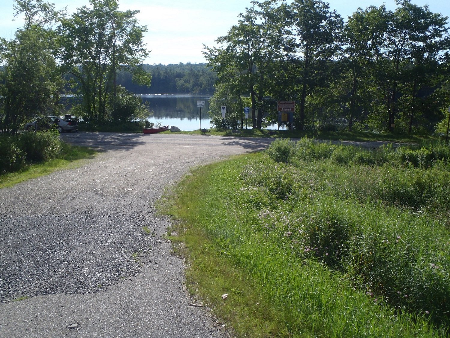
The rough access point to Little Clemons Pond viewed from Route 160

The rough access point to Little Clemons Pond viewed from Route 160

Little Clemons Pond is a 25-acre body of water located in Hiram, Maine (see The Maine Atlas and Gazetteer map 4 C2). Drive north on Route 160 from South Hiram. The pond will appear on your right-hand side, just after passing Notch Road. The pond is accessible via a rough launch by the road.  Cars can be parked on the shoulder. Only small hand-carried craft, such as a canoe or kayak, can be put in the water from this access point. A public boat launch is not available.


Continue reading

Digiprove sealCopyright protected by Digiprove

Largemouth bass fishing on Schoolhouse Pond, Livermore Falls, Maine (August 25, 2013)

View Map

Footpath leading from the road to Schoolhouse Pond

Footpath leading from the road to Schoolhouse Pond

Schoolhouse Pond is a 21-acre body of water located in Livermore Falls, Maine (see The Maine Atlas and Gazetteer map 12 A1). Drive north on Campground Road (off Route 133) and keep Jug Hill Road to your left. The pond will appear through the trees on the right. Look for a foot path through the woods about 0.1 mile or so after passing Jug Hill Road. Park the car on the grassy shoulder next to the foot path. The pond is 100 ft further down. I do not see “No Trespassing” signs and so assume that this way in is legit.  Only small hand-carried craft, such as a canoe or kayak, can be launched from the access point.


Continue reading

Digiprove sealCopyright protected by Digiprove

Largemouth bass fishing on Collins Pond in Windham, Maine (August 18, 2013)

View Map

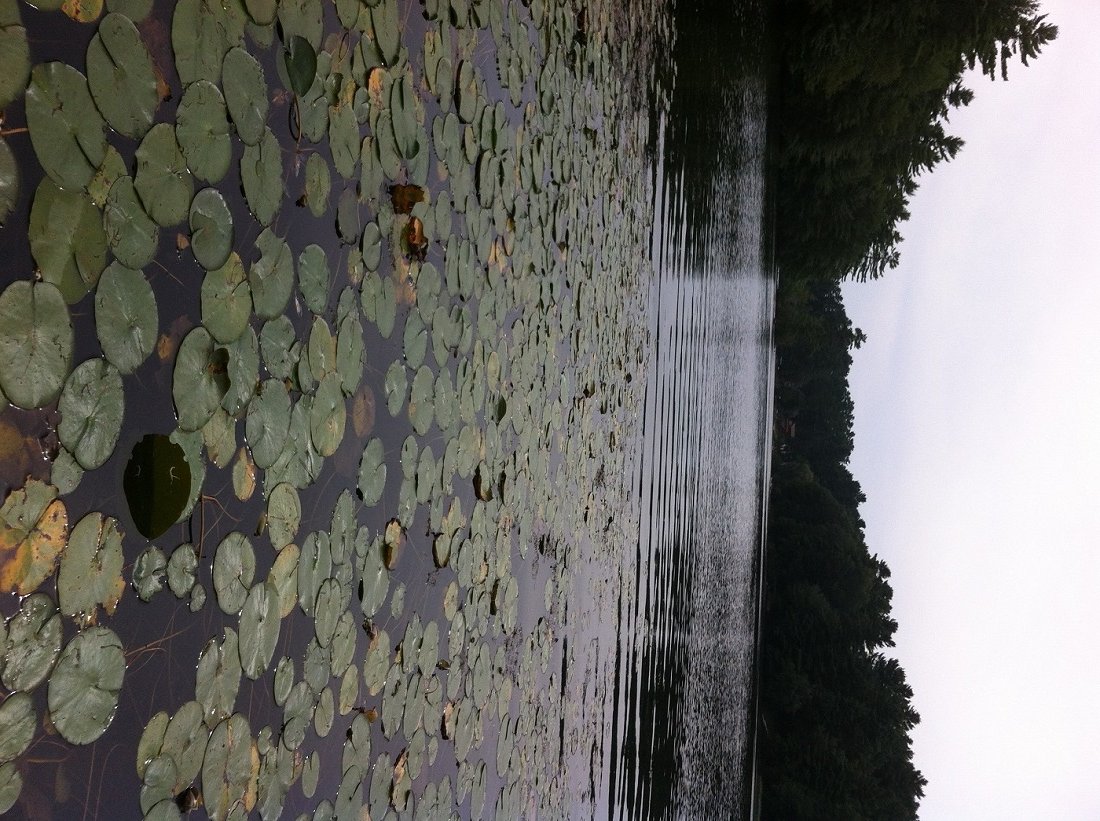
View of the lily pad bed by the access point

View of the lily pad bed by the access point

Collins Pond is a 42-acre body of water located in Windham, Maine (see The Maine Atlas and Gazetteer map 5 D2). It is an impoundment on Ditch Brook, which is the outlet of Little Sebago Lake, via Mill Pond located just upstream of Route 115. The pond can be reached by turning onto Running Brook Road from Route 115 and driving down the hill for 200-300 ft just past house #25 on your right. Park your car on the road shoulder and walk down a short foot path towards a small sandy beach by the pond. I’m not sure that this is a “public” access point but I did not see any No Trespassing signs either. Only small, hand-carried craft such as a canoe or kayak, can be launched from this point. I also noticed a wide forest/four wheeler trail with a fire pit next to the outlet at the other end of the pond. A walk up this trail leads to a huge gravel pit operation. I don’t know if the pond can be accessed from that end. Collins Pond Collins Pond has a maximum depth of 18 ft and a mean depth of 7 ft, which makes it quite shallow. The water is very clear, which is no surprise since its source is Little Sebago Lake. The substrate is clean, consisting mostly of rough sand and small gravel interspersed with boulders. Several dozen camps and year-round houses dot the shoreline. General fishing law applies on this pond (click here for more details). Click here for a depth map and more fisheries information.

Continue reading

Digiprove sealCopyright protected by Digiprove

Largemouth bass fishing on Little Moose Pond in Denmark, Maine (July 28, 2013)

View Map

General view of Little Moose Pond

General view of Little Moose Pond

Little Moose Pond (a.k.a. Little Pond) is a 33-acre body of water located in Denmark, Maine (see The Maine Atlas and Gazetteer map 4 B3). It can be reached by driving into the town of Denmark located at the southern tip of Moose Pond. Get on West Maine Street (Route 160) going west and cross Moose Pond Brook, which is the outlet of Moose Pond. After a few 100 ft, turn left on Mill Road which quickly turns into a rough but drivable wood road. The pond will appear on your left after 0.8 miles. Access to the water is also rough due to a lack of a public boat launch. It looks like a kind land owner cleared a 50-ft wide by 100-ft long area of trees and shrubs between the road and the pond. Only hand-carried craft, such as a canoe or kayak, can be launched from this point.


Continue reading

Digiprove sealCopyright protected by Digiprove

Largemouth bass fishing on Perley Pond in Denmark, Maine (July 28, 2013)

View Map

General view of Perley Pond

General view of Perley Pond

Perley Pond is a 79-acre body of water located in Denmark, Maine (see The Maine Atlas and Gazetteer map 4 B4). Access is available via Hancock Pond Road which runs along the southern shoreline. Beware that the access point is steep and rough and can only accommodate hand-carried craft, such as a canoe or kayak. Cars can be parked on the shoulder of Hancock Pond Road.


Continue reading

Digiprove sealCopyright protected by Digiprove

Largemouth bass fishing on Ice Pond in Bristol, Maine (July 27, 2013)

View Map

General view of Ice Pond

General view of Ice Pond

Ice Pond (a.k.a. New Harbor Pond) is a 9-acre body of water located in Bristol, Maine (see The Maine Atlas and Gazetteer map 7 C4). Drive south on Route 130 into New Harbor and turn left on Route 32. The short but rough and rutted access road to the pond is located a couple of hundred feet on the left. No parking is possible on Route 32 and the access road can only accommodate one car (a second car would not be able to squeeze by). Only hand-carried craft, such as a canoe or kayak, can be launched from this access point.


Continue reading

Digiprove sealCopyright protected by Digiprove

Largemouth bass fishing on Worthley Pond, Poland, Maine (July 27, 2013)

View Map

View of the boat launch on Worthley Pond

View of the boat launch on Worthley Pond

Worthley Pond is a pretty 42-acre body of water located in Poland, Maine (see The Maine Atlas and Gazetteer map 5 A3). Drive north on Route 26 and turn right on Route 122. Go down this road for 1.4 miles before turning right on Worthley Pond Lane, located about 0.1 mile past the entrance to Range Pond State Park. This dirt access road through the woods is rough but passable with a regular car. The boat launch is rather shallow and sandy but could probably accommodate a small trailered motorized craft.


Continue reading

Digiprove sealCopyright protected by Digiprove

Largemouth bass fishing on Crystal Pond in Turner, Maine (July 6, 2013)

View Map

Access point to Crystal Pond

Access point to Crystal Pond

Crystal Pond (also known as Beal Pond) is a 47-acre body of water located in Turner, Maine (see The Maine Atlas and Gazetteer map 11 C4). Drive north on Route 4 for about 2.5 miles past Turner. The pond, and its launch, will appear on the right, about 150 ft past Crystal Lane. Beware that the launch does not have a boat ramp. Hence, only small, hand-carried craft can be used. The fishing rules also stipulate that motorboats over 10 horsepower are prohibited. Otherwise, general fishing law applies.


Continue reading

Digiprove sealCopyright protected by Digiprove