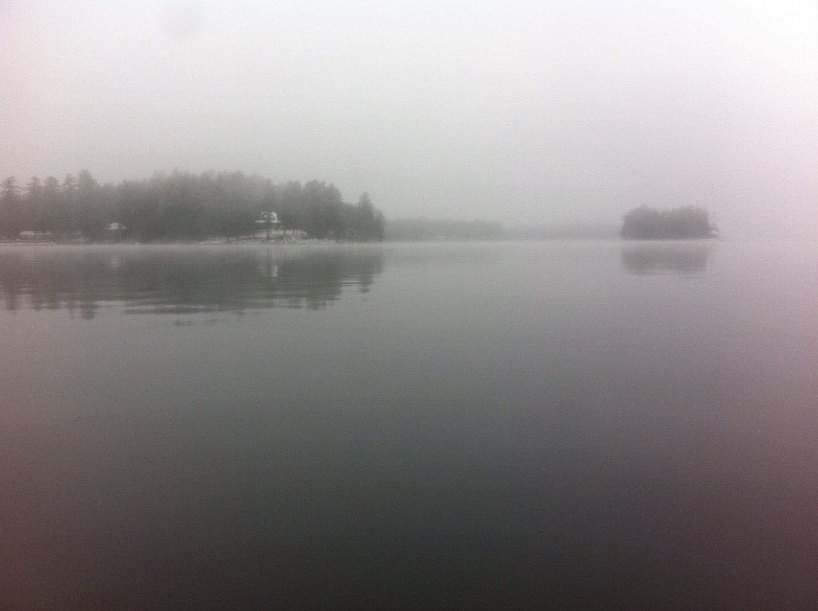
A cool, foggy, and drizzly morning on Sebago Lake
 Copyright protected by Digiprove
A cool, foggy, and drizzly morning on Sebago Lake
Copyright protected by Digiprove Landlocked Atlantic salmon (also known simply as “landlocked salmon” in Maine) are a highly-desirable species to catch while ice fishing because they are great fighters, can grow big, and taste delicious! But it is also a challenge to catch them consistently because they live in large lakes, roam great distances in search of food, are difficult to pinpoint, and are stocked at low levels in order not to deplete their forage base. Follow the strategies below to maximize your chances of hooking one of these magnificent creatures.
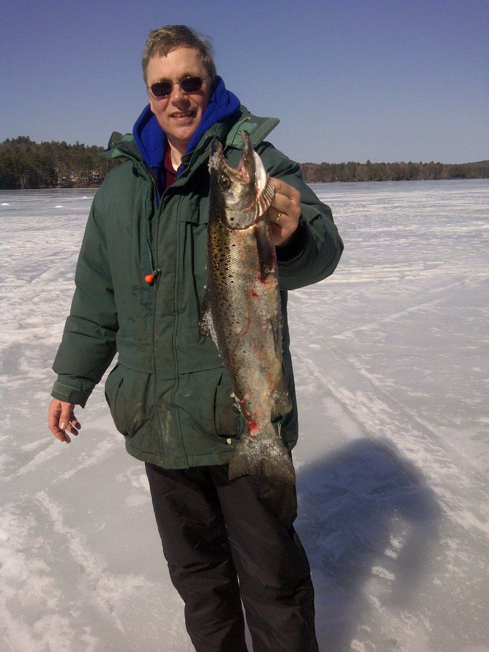
A beautiful 5.0 lbs landlocked salmon caught on March 11, 2012 by your blog author on Trickey Pond, Naples, Maine.
Copyright protected by Digiprove 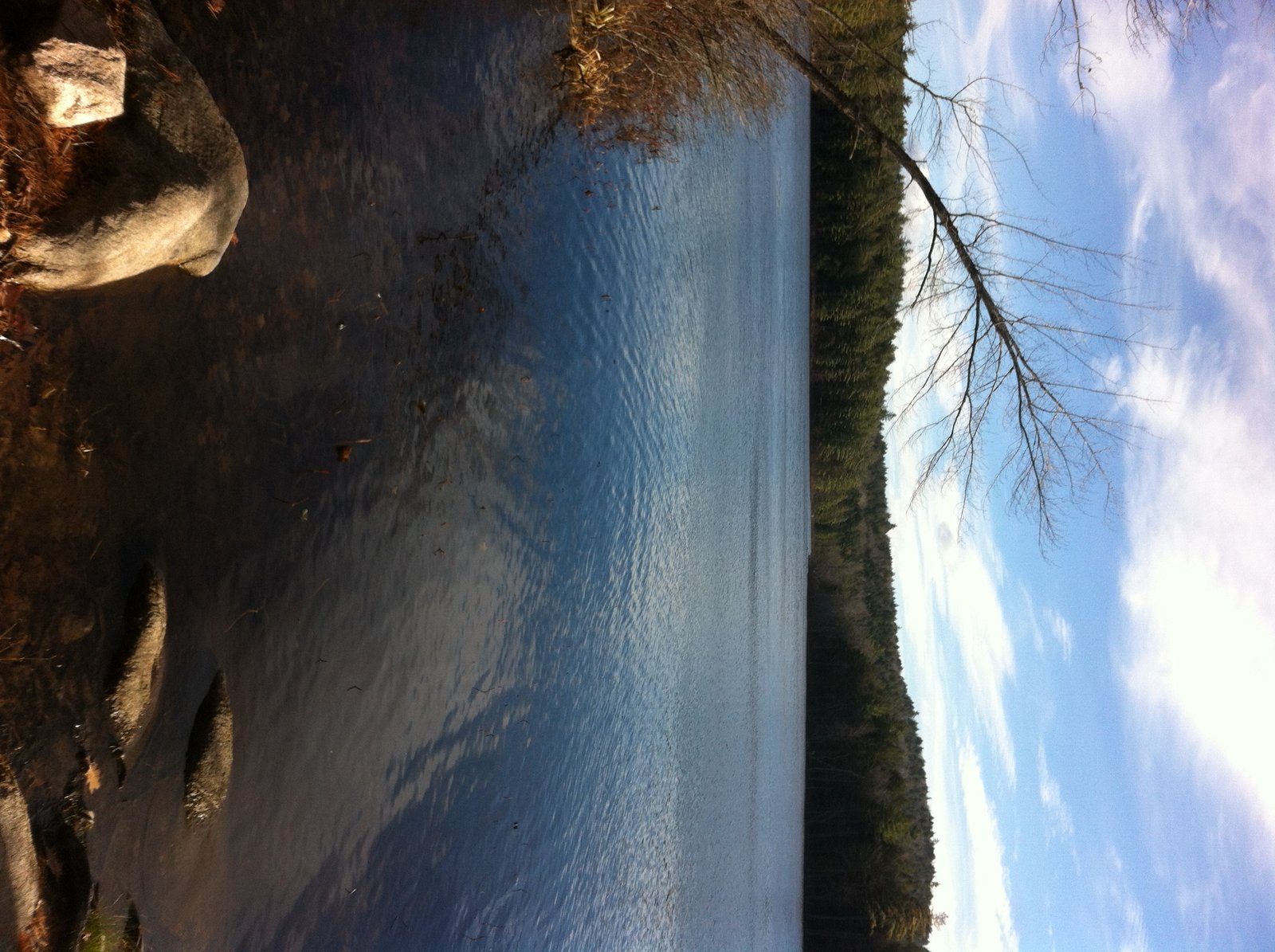
View of Cold Rain Pond from the public access point
Cold Rain Pond is located in Naples (see The Maine Atlas and Gazetteer map 4 B5). Access to this pond is as follows: hang a left onto Kimball Corner Road when driving north on Route 114/11 in North Sebago. Turn left on Tiger Hill Road after just over 3 miles. This road is located across from Lake House Road (look for the sculptures of three black bears). The access point to the pond, which is on the left after about 0.5 mile, consists of an unimproved launch which cannot accommodate trailered boats. Be aware that Tiger Hill Road is rough, rutted, and bouldery, and may require a 4X4 vehicle.
Copyright protected by Digiprove Joel and I decide to again visit Otter Pond #2 in Standish (see The Maine Atlas and Gazetteer map 5 D1) after our successful trout fishing experience last week (click here on how to access this 12-acre pond). The Department of Inland Fisheries and Wildlife nicely stocks the pond with a truckload of brook trout each spring and fall. Click here for a depth map and more fisheries information.
Copyright protected by Digiprove 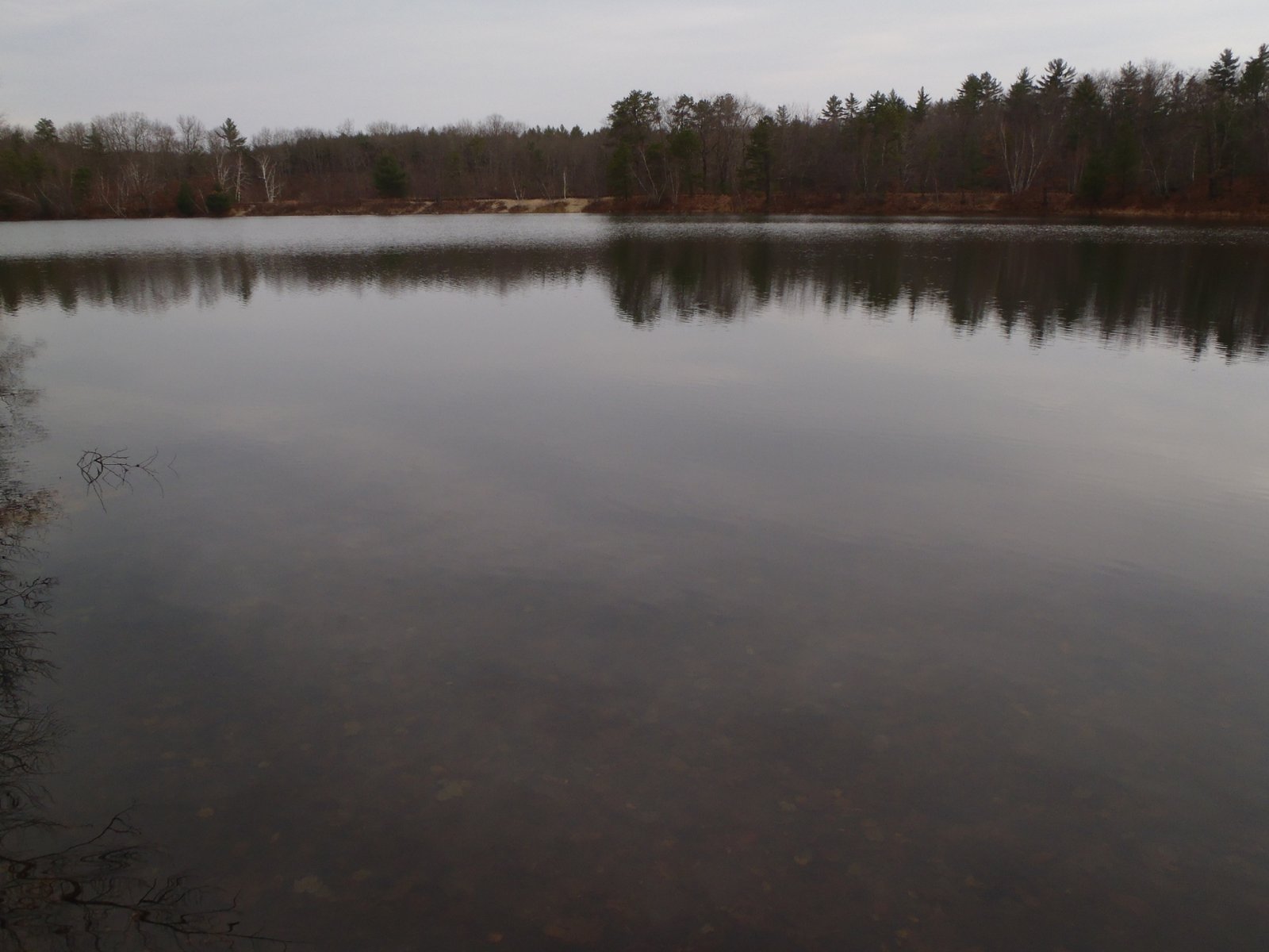
General view of Otter Pond #2, with the railroad tracks in the background
Otter Pond #2 is located in Standish (see The Maine Atlas and Gazetteer map 5 D1). This pond is one of four small ponds located right off Route 35 (Chadbourne Road). Access to the pond is on foot from the two parking lots located on either side of the bridge over the old railroad tracks. The shortest way in is to walk about a quarter mile on the tracks until the pond appears on the right. Joel and I instead take the long way in (> 0.5 mile), via the Mountain Division Trail which starts at the largest of the two parking lots. We are wheeling Joel’s canoe, and all our fishing gear, on this nice gravel road which passes next to Otter Pond #2. Our goal today is to troll for trout.
Copyright protected by Digiprove Contrary to popular lore, smallmouth and largemouth bass do bite under the ice. In fact, I’ve caught some of my biggest bass that way! But we have to adjust our tactics in response to the wintery conditions. The fish congregate on the bottom and are lethargic and slow. They only eat a small fraction of what they would normally eat in the summer. But here’s the thing: they do need to feed and can therefore be caught. Below are some ways to catch more bass under the ice.
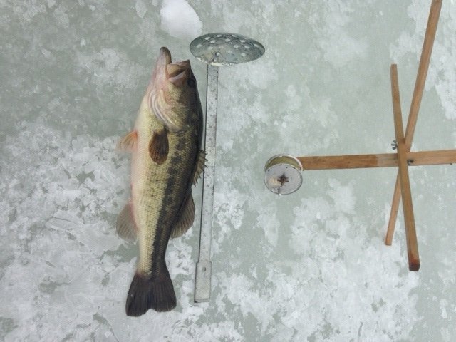
Bass fishing through hard water is a blast!
Copyright protected by Digiprove Sebago Lake (see The Maine Atlas and Gazetteer map 5 C1) is considered a prime landlock salmon fishery in southern Maine. The state enhances the natural reproduction that occurs in the Crooked River by stocking the lake with juvenile salmon annually in the spring. I arrive in East Sebago off Route 114 at 9:30 am and am picked up at the shoreline by my sons Joel and Jonathan who have been trolling the area since early morning. They have focused their attention above and around the sunken ridge that lays about 1.5 miles to the east of East Sebago. This ridge rises from >100 ft deep and levels off about 35-40 ft below the surface of the water. It’s a fine morning: cool (lower 40’s), mostly overcast with heazy sunshine, and a gentle southwestern breeze. Rain is forecast for late afternoon. The surface water temperature varies from 59° to 61°F, and the fish finder marks fish 15-30 ft down. We’re using downriggers to troll our lures at these depths. We present spoons of different shapes and colors to figure out what the salmon want today. Jonathan caught an 11” baby salmon on a yellow-colored Mooselook spoon before my arrival. We seriously tease him about it!
Copyright protected by Digiprove 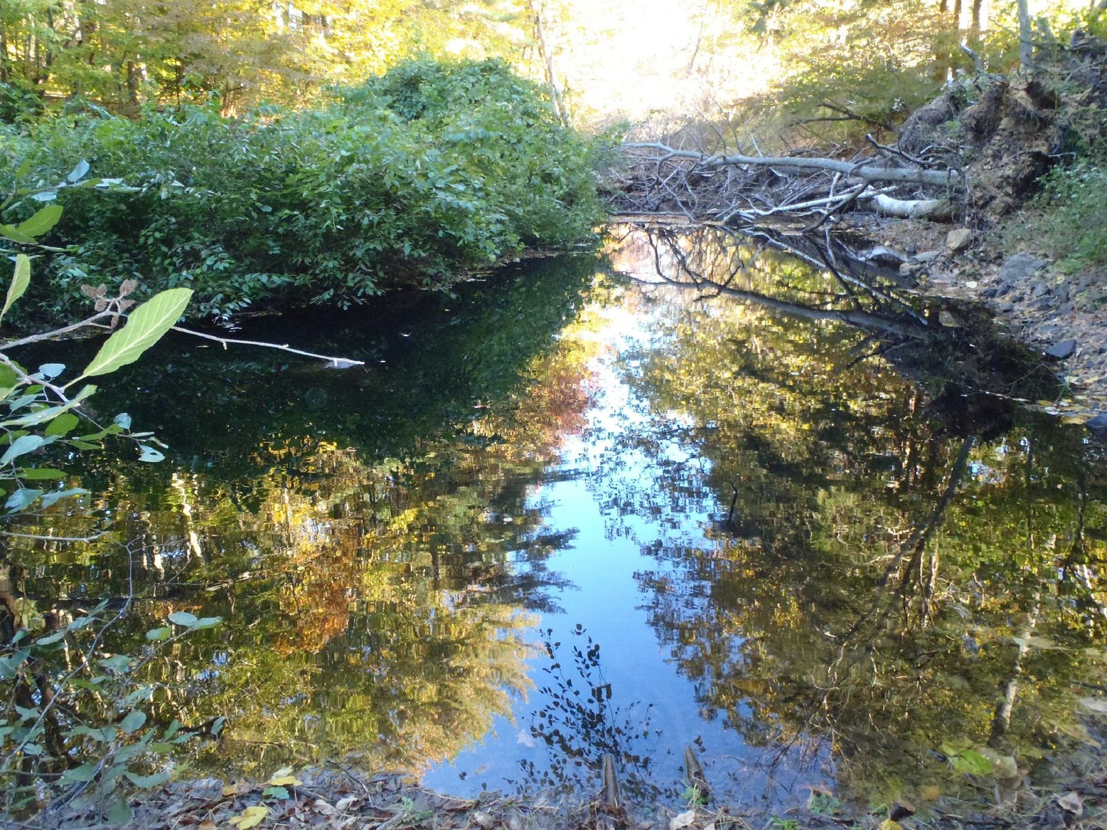
View of the lower reach of the Ogunquit River
The Ogunquit River originates west of Highway 95 in the town of Wells and flows in an easterly direction underneath Highway 95 towards the town of Ogunquit. It reaches the ocean at Ogunquit Beach after flowing underneath Route 1. The stream is accessible either from Route 1 or from the washed-out bridge on Old County Road off Tatnic Road. Keep in mind that parking on Route 1 is problematic. The stretch of river most popular with trout anglers flows for about 1.5 miles between Highway 95 and Route 1.
Copyright protected by Digiprove Many freshwater anglers view the landlocked Atlantic salmon as the King of Fish. And for good reason: pound for pound, no other species has the power, strength, and stamina of this beautiful creature. Seeing a 24” landlock arch high into the air after it is hooked is a heart-stopping experience! This subspecies of Salmo salar is a dwarf variety of the mighty sea-run Atlantic salmon. Even though the landlocked salmon remains relatively small in size, it has lost none of the superb fighting and jumping qualities of its larger anadromous cousin.
Here are some proven tips to increase your chances of catching these magnificent fighters.
Copyright protected by Digiprove Baxter State Park offers a genuine wilderness setting. Most people know the park for the spectacular Mount Katadhin hike, including the one-of-a-kind Knife’s Edge Trail. Yet Baxter also offers a tremendous variety of outdoors opportunities which I decided to explore in-depth during a five-day hiking/camping/fishing trip with my son Joel in mid-September, 2012. As a serious bonus, the park offers some of the best native brook trout fishing opportunities on unspoiled ponds found anywhere in the state of Maine.
The hike started at Trout Brook Farm, located about 3 miles west of the northern entrance to Baxter State Park at Matagamon Gate (see The Maine Atlas and Gazetteer map 51 A1) and was scheduled to end at the Roaring Brook campground (see The Maine Atlas and Gazetteer map 51 C1). Click here for downloadable maps of the ponds and the hiking trails on this itinerary.
Copyright protected by Digiprove Reach out to us. We would love to hear from you
