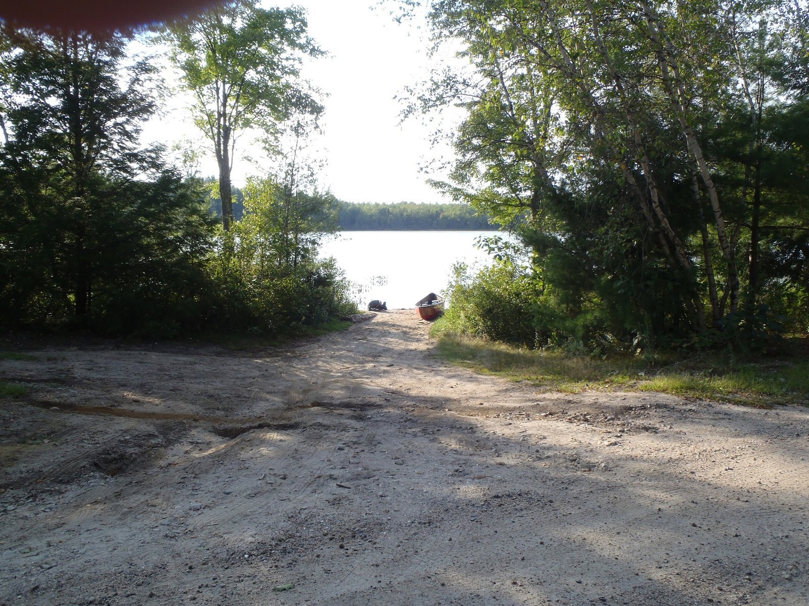
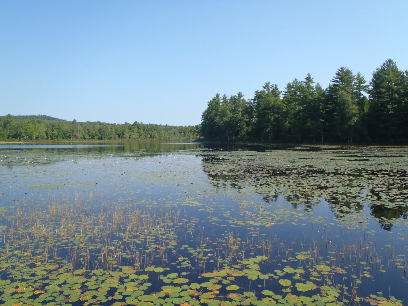
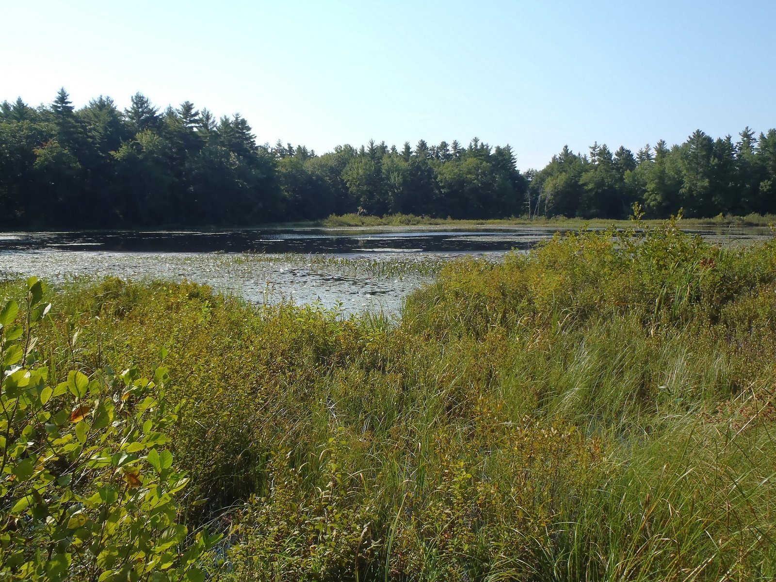
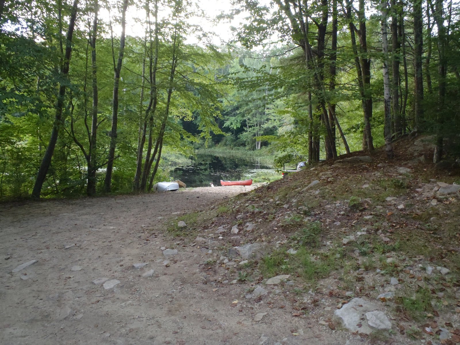
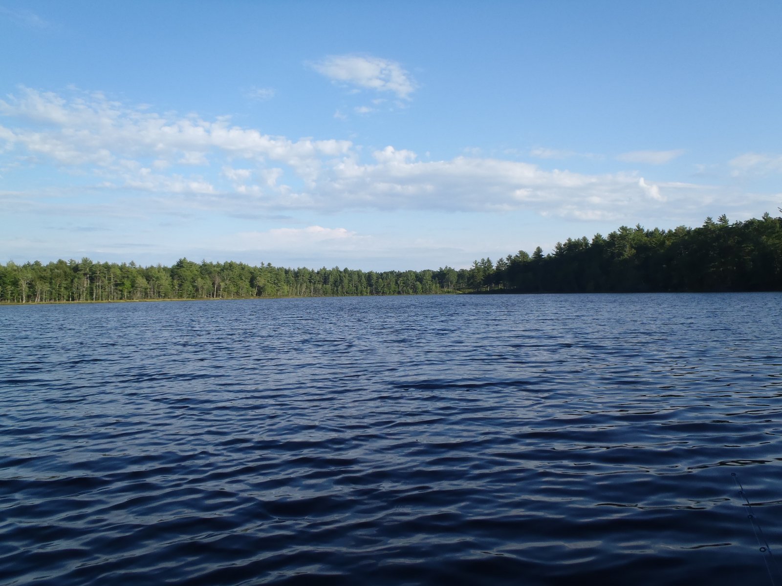
Flyfishing for brook trout on Dixon Pond, Somerset County, Maine (May 28, 2012).

View Map

Dixon Pond is a 17-acre body of water nestled on the flank of Pierce Pond Mountain in Pierce Pond Township (see The Maine Atlas and Gazetteer map 30 A1). The pond is remarkably deep for its small size, with a maximum depth of 55 ft. The only way to reach this little jewel is to hike up to it from Pierce Pond via a forest trail. The pond supports a healthy population of native brook trout.

I tie my boat just passed the Caribou Narrows on Middle Pierce Pond and hike the 25-minute to the pond by myself. I love Dixon Pond: its beauty, total isolation, forested surroundings, and fiesty brook trout. The trout don’t get big (the largest one I have caught in this pond over the years was 13″) but eagerly take dry flies. In fact, flyfishing is the only legal way to fish the pond, which suits me just fine.

Continue reading

Digiprove sealCopyright protected by Digiprove
Largemouth bass fishing on Perley Pond, Sebago, Maine (August 25, 2012)

View Map

Access point to Perley Pond

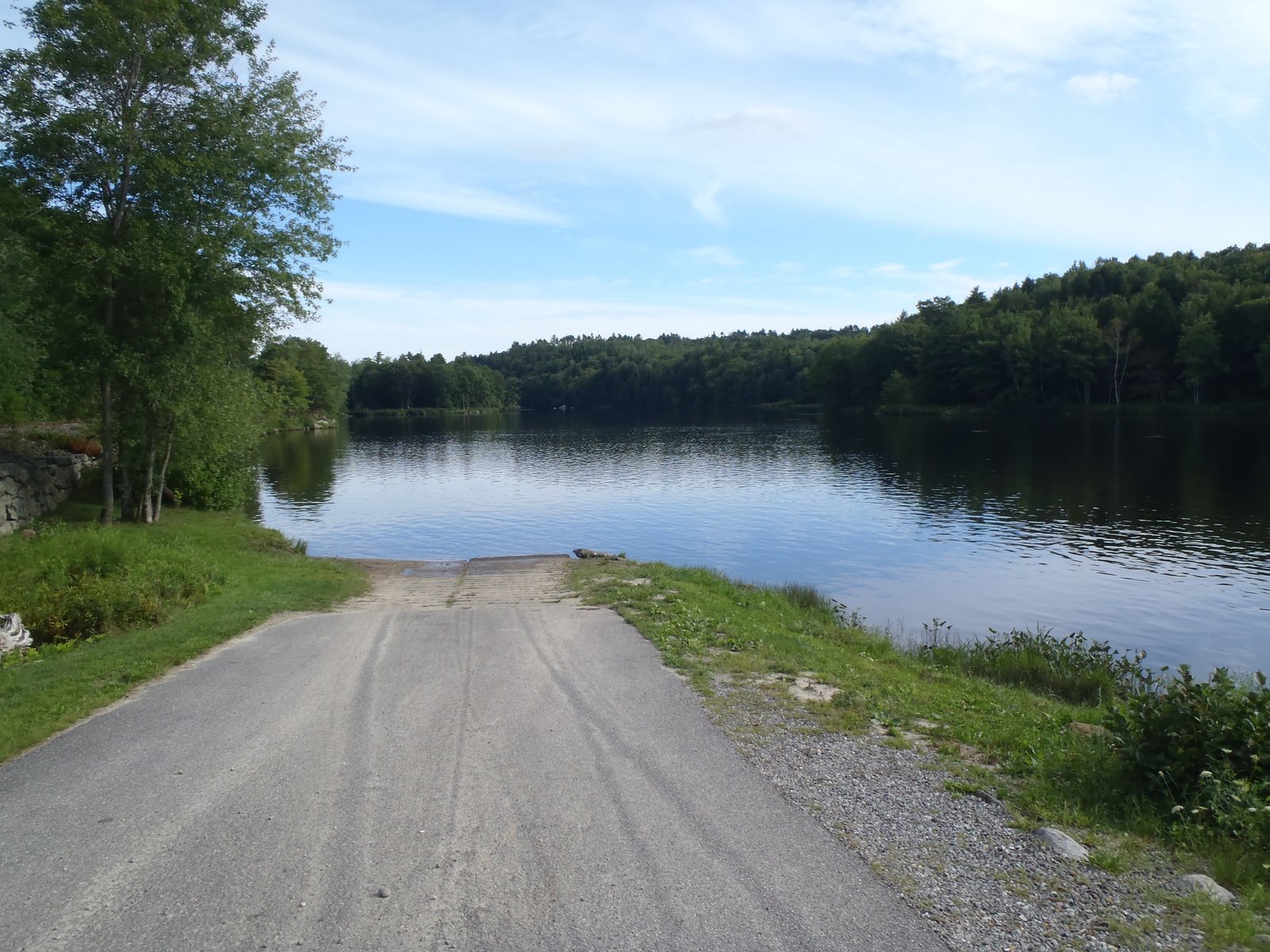
Perley Pond is located in the town of Sebago (see the Maine Atlas and Gazetteer map 4 C5). To reach the pond, turn onto Folly Road from either Route 107 (Bridgton Road) or Route 114 (Sebago Road) and drive for 2-3 miles. The pond is clearly visible from Folly Road. An unimproved sandy launch allows access for small trailered boats, as well as hand-carried craft.

Continue reading

Digiprove sealCopyright protected by Digiprove

Largemouth bass fishing on Boyd Pond, Limington, Maine (July 28, 2012)

View Map

View of dense lilypad beds on Boyd Pond

Boyd Pond is located on the north side of Mill Turn Road, about 0.2 miles east of Route 117 in Limington (see The Maine Atlas and Gazetteer map 4 E4). The edges of this 26-acre pond (maximum depth = 19 ft) are completely surrounded by wide, dense beds of lily pads. The surface water is lightly stained. The shoreline is mostly wooded and only one house is visible from the pond.

Continue reading

Digiprove sealCopyright protected by Digiprove

Pickerel fishing on Little Boyd (or Unnamed) Pond, Limington, Maine (July 28, 2012)


View Larger Map


View of Little Boyd Pond from the shore

Little Boyd (or Unnamed) Pond is located on the south side of Mill Turn Road, about 0.4 miles east of Route 117 in Limington (see The Maine Atlas and Gazetteer map 4 E4). The shoreline of this 10-acre pond is completely surrounded by a dense mat of floating vegetation. The pond is shallow (maximum depth = 7 ft), and choked with aquatic vegetation. The water is stained a light brown and the substrate appears to consist entirely of a thick layer of organic muck. Only two houses are visible from the pond. The shoreline is mostly wooded.


Continue reading

Digiprove sealCopyright protected by Digiprove

Largemouth bass fishing on York Pond, Eliot, Maine (August 24, 2012)

View Map

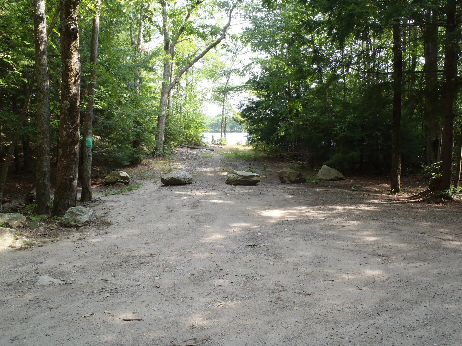
View of the access point to York Pond

York Pond is located in Eliot (see The Maine Atlas and Gazetteer map 1 A3). The access to this body of water is well “hidden”. Directions are as follows: Drive on Route 91 and turn unto York Shore Drive, which leads through a residential development. Turn right on York Pond Road after 0.2 miles. Go to the end by the circle and look for mail box #6. Get on the driveway but make an immediate left on a rough, stony forest road. The access point to the pond is about 700 ft further down on the right. Even though a small trailered boat could be launched, the fishing rule book states that motorboats with internal combustion engines are prohibited on the pond. So, only craft powered by arm juice or an electric motor are allowed on the water.


Continue reading

Digiprove sealCopyright protected by Digiprove

Largemouth bass fishing on Littlefield Pond, Sanford, Maine (August 24, 2012).

View Map

View of the access point to Littlefield Pond from Emmond Road

Littlefield Pond is located in Sanford (see The Maine Atlas and Gazetteer map 2 C3). Access to the pond is as follows: drive west on Route 224 (Pleasant Street) into Springvale. Turn right on Payne Street . Cross Beaver Hill Road unto Elm Street. Stay on Elm Street for 0.6 miles before turning left on Littlefield Road. Stay on this road for 0.5 miles before turning right on Emmons Road (a gravel road). The access to the pond is 0.2 miles on the right.


Continue reading

Digiprove sealCopyright protected by Digiprove

Smallmouth bass and pike fishing on the Androscoggin River, Durham, Maine (July 1, 2012).


View Larger Map

I reach the Durham boat launch off Route 136 (see The Maine Atlas and Gazetteer map 5 A5) on the Androscoggin River at 7 am. The weather is gorgeous, with full sunshine and a light breeze. The water temp is 70F. The air temp is in the low 70’s and forecast to rise into the high 80’s by early afternoon. I position my boat along the bank across from the boat launch and slowly drift down with the current while fishing the wooded shoreline for smallmouth bass using 4″ soft stickbaits. I get no bites, which is unusual since the bass typically are found shallow early in the morning on this river. I turn the engine on and move further downstream to fish another section of the shore, but with the same result…

Continue reading

Digiprove sealCopyright protected by Digiprove

Smallmouth bass fishing on the Androscoggin River, Topsham, Maine (August 19, 2012).


View Larger Map


I reach the Pejepscot boat launch off Route 196 in Topsham (see The Maine Atlas and Gazetteer map 6 B2) with Salvador at 4:30 pm. We want to catch the smallmouth bass that are so plentiful in this stretch of the Androscoggin River. The conditions are perfect: the sun is setting and hazy, clouds are forecast to roll in later in the evening, the wind is light.


Continue reading

Digiprove sealCopyright protected by Digiprove

Largemouth bass fishing on Wards Pond, Limington, ME (August 18, 2012)

View Map

View of Wards Pond

August 10, 2015 UPDATE: One of my blog readers (thanks, Tom) reported that the unnamed forest road into Wards Pond off Route 11 (Sokokis Avenue) was recently posted as “PRIVATE PROPERTY” and is therefore no longer accessible to the public. Feel free to let us know if you can find another way into this pond by car so that I can share it with everyone.
Wards Pond is located off Route 11 in North Limington (see The Maine Atlas and Gazetteer map 4 D5). Access to the pond is as follows: drive west on Route 25 (Ossipee Trail), turn right on Route 11 (Sokokis Avenue), drive on Route 11 for 0.7 miles before turning right on an unnamed forest road (right across from Helmlock Lane). This trail, which is rough but passable with a car, reaches the north-western end of the pond after about 0.2 miles. A sandy launch allows access for small trailered boats, as well as hand-carried craft. Beware that the sand is soft and that it is a real challenge to pull a boat up the slope of the launch using a front wheel drive car (I know from experience; see below).


Continue reading

Digiprove sealCopyright protected by Digiprove

Largemouth bass fishing on Milliken Mills Pond, Old Orchard Beach, Maine (July 21, 2012)

View Map

Access point to Milliken Mills Pond viewed from Milliken Mills Road

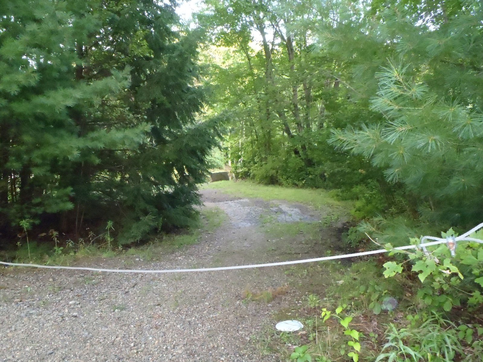
Milliken Mills Pond is an impoundment of Mill Brook (see The Maine Atlas and Gazetteer map 3 B3) in Old Orchard Beach. Access to the pond is on Milliken Mills Road, right by the dam on Portland Avenue. The launch is rough and can only handle hand-carried craft because a thick cable is stretched across the entrance way and half-a-dozen large granite blocks bar the way further down. The distance between the road and the water is no more than 150 ft. Parking is on the road shoulder and is limited to two or three cars. Even though the pond is small (10 acres), it gives the impression of being much larger because it is quite narrow (< 130 ft), and hence very long (over 0.5 mile!). The pond has little aquatic vegetation but a multitude of overhanging branches and fallen trees. The water is also crystal-clear. This small water body, located no more than 12 miles south of Portland, provides a remarkable feeling of “remoteness”. Both banks are densely wooded and devoid of houses or camps. Further upstream, the heavy canopy on both banks provides a cocoon-like feeling. Click here for a depth map and more fisheries information.


Continue reading

Digiprove sealCopyright protected by Digiprove