Fishing for brook trout on Halfmoon Pond in Acadia National Park on Mount Desert Island, Maine (May 11, 2018)

View Map

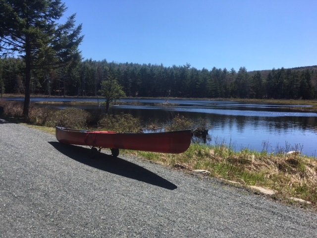
View of Halfmoon Pond from the carriage road

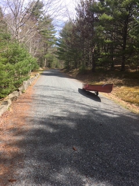
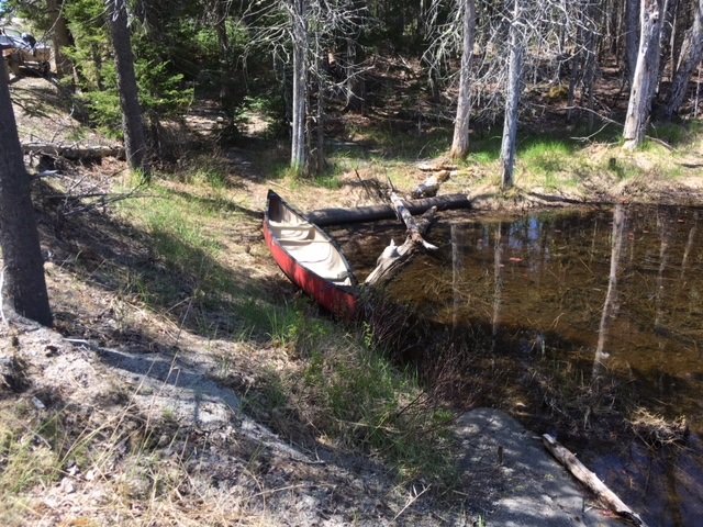
Halfmoon Pond covers 3 acres and is located in Acadia National Park on Mount Desert Island (MDI) in Hancock County, Maine (see The Maine Atlas and Gazetteer map 16 B3). The pond can be reached by walking for about one mile on the 16 foot-wide and well-maintained carriage road. Leave your car in the small parking lot located off Route 233 across from Eagle Lake. Be aware that you’ll need a pass to legally park your car anywhere inside the Park, including here. The pass can be purchased on-line or at the Park’s major visitor center on MDI, among other places. I reach the parking lot at 9 am and head first to Lower Breakneck Pond and then to Upper Breakneck Pond. After fishing these two locations, I place my canoe on my “canoe wheels” and lug everything to my next destination.

Continue reading

Digiprove sealCopyright protected by Digiprove
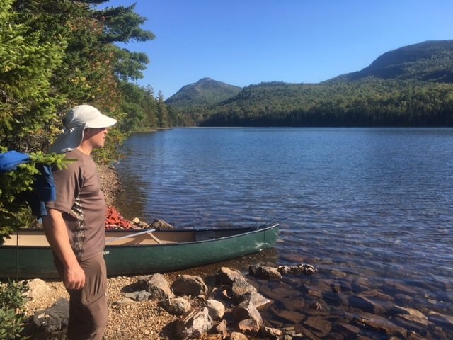
Fishing for brook trout on Upper Breakneck Pond in Acadia National Park on Mount Desert Island, Maine (May 11, 2018)

View Map

The carriage road provides easy access to Upper Breakneck Pond


Upper Breakneck Pond covers 9 acres and is located in Acadia National Park on Mount Desert Island (MDI) in Hancock County, Maine (see The Maine Atlas and Gazetteer map 16 B3). The pond can be reached by walking for about 2,500 ft on the 16 foot-wide and well-maintained carriage road. Leave your car in the small parking lot located off Route 233 across from Eagle Lake. Be aware that you’ll need a pass to legally park your car anywhere inside the Park, including here. The pass can be purchased on-line or at the Park’s main visitor center on MDI, among other places. I reach the parking lot at 9 am and head first to Lower Breakneck Pond. I then carry my canoe through the 50 ft long outlet that connects the lower pond to the upper pond. Note, however, that Upper Breakneck Pond can also be reached directly from the carriage road via a short walk through the woods.

Continue reading

Digiprove sealCopyright protected by Digiprove
Fishing for brook trout on Lower Breakneck Pond in Acadia National Park on Mount Desert Island, Maine (May 11, 2018)

View Map


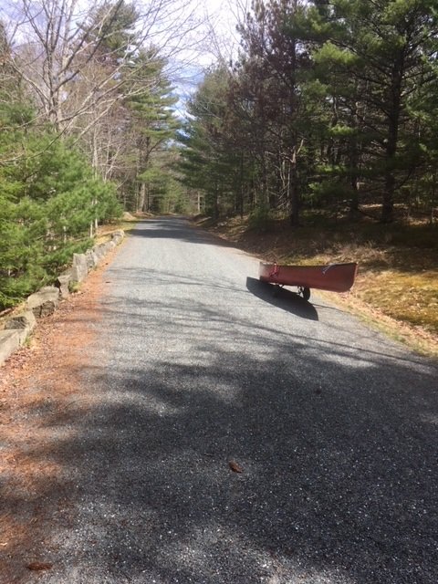
The carriage road is wide and accessible to everyone


Lower Breakneck Pond covers 8 acres and is located in Acadia National Park on Mount Desert Island (MDI) in Hancock County, Maine (see The Maine Atlas and Gazetteer map 16 B3). The pond can be reached by walking on the wide and well-maintained carriage road. Leave your car in the small parking lot off Route 233 across from Eagle Lake. Be aware that you’ll need a pass to legally park your car anywhere inside the Park, including here (even though the parking lot is right off a public road). The pass can be purchased on-line or at the Park’s visitor center on MDI, among other places. I reach the parking lot at 8:30 am and am glad to see only a few other vehicles. This relatively small lot fills up quickly later on in the season, particularly on weekends. I place my canoe on my “canoe wheels”, load it up with all my fishing gear, and walk the half mile or so towards the pond.


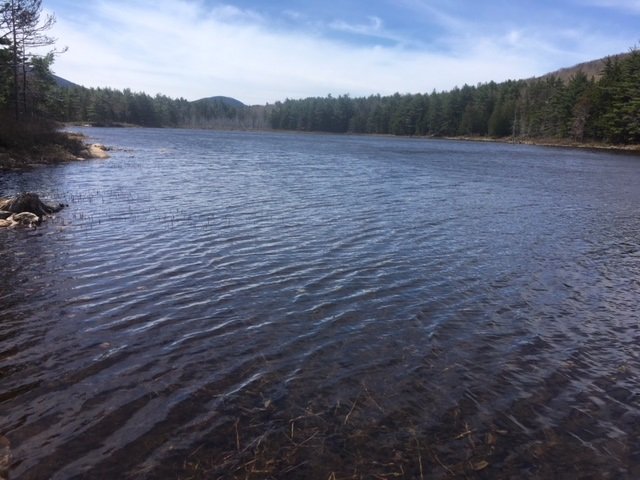
General view of Lower Breakneck Pond in early spring (no aquatic vegetation on the surface yet) looking south.


Continue reading

Digiprove sealCopyright protected by Digiprove

Fishing for brook trout on Bubble Pond in Acadia National Park on Mount Desert Island, Maine (May 12, 2018)

View Map

Bubble Pond covers 32 acres and is located inside Acadia National Park on Mount Desert Island (MDI) in Hancock County, Maine (see The Atlas and Gazetteer map 16 B4). The pond is situated right off the Park Loop Road. Vehicles can be parked in a small paved lot which contains a clean bathroom. Be aware that you’ll need a pass to legally park your car anywhere inside the Park. The pass can be purchased on-line or at the visitor center on MDI. The pond is located about 200 ft further down from the parking area. The access point can only accommodate hand-carried craft. Besides, it lacks an official launch and motor boats with internal combustion engines are prohibited.

Continue reading

Digiprove sealCopyright protected by Digiprove

Fishing for brook trout on Long Pond in Acadia National Park on Mount Desert Island, Maine (May 12, 2018)

View Map

Long Pond covers 897 acres and is located in Acadia National Park, just north of Southwest Harbor, on Mount Desert Island (MDI) in Hancock County, Maine (see The Maine Atlas and Gazetteer map 16 C2). This body of water is surrounded by Acadia National Park on its entire western side, and along the lower third on its eastern side. I access the pond via the public boat launch at the end of Long Pond Road at the southern tip of the pond. Even though this launch falls within the boundary of the Park, I do not see any signs which explicitly state that vehicles require a Park-issued pass to enter or to park a vehicle. I’m not worried because I have the pass. However, it might be prudent to first inquire with the Park authorities, just to make sure. The pass can be purchased on-line or at the Park’s visitor center on MDI, if needed. I also note that a second public boat launch is located at the northern tip of this pond right off Route 102 (Pretty Marsh Road; see The Maine Atlas and Gazetteer map 16 B2) which falls outside of the Park boundaries and therefore would not require a pass.

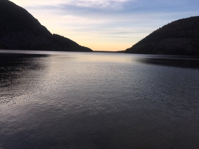
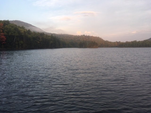
Sunset view of Long Pond from the boat launch at the southern tip of the lake.

Continue reading

Digiprove sealCopyright protected by Digiprove

Fishing for brook trout on Round Pond in Acadia National Park on Mount Desert Island, Maine (May 13, 2018)

View Map

The launch area next to Route 102 is rough and can only accommodate hand-carried craft.

Round Pond covers 38 acres and is located on Mount Desert Island (MDI) in Hancock County, Maine (see The Maine Atlas and Gazetteer map 16 B2). The western shoreline abuts Acadia National Park, whereas the eastern shoreline is privately owned as indicated by the presence of a handful of houses. The pond, which is located right off Pretty Marsh Road (Route 102) on the western half of MDI, is not in the Park itself. The pond can only be accessed from Route 102 via a short rough path and lacks a boat launch. Hence, it can only be fished using hand-carried craft. Keep in mind that no actual parking is available on Route 102 either. The road shoulder is sandy and narrow, and can safely accommodate only a few cars

Continue reading

Digiprove sealCopyright protected by Digiprove

Fishing for landlocked Atlantic salmon on Jordan Pond in Acadia National Park on Mount Desert Island, Maine (May 12, 2018)

View Map

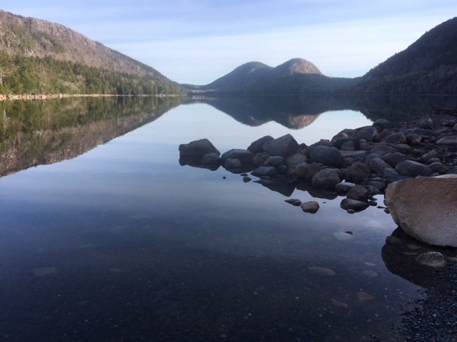
A gorgeous view of Jordan Pond from the boat launch

Jordan Pond covers 187 acres and is located inside Acadia National Park on Mount Desert Island (MDI) in Hancock County, Maine (see The Atlas and Gazetteer map 16 C3). The pond is situated off the Park Loop Road. A huge parking lot with a clean bathroom is located at the southern tip of the pond to accommodate the many visitors who come to this spot to hike the multiple trails that criss-cross the area. Access to the pond is via a rough unimproved boat launch. Be aware that you’ll need a pass to legally park your car anywhere inside the Park. The pass can be purchased on-line or at the visitor center on MDI.

Continue reading

Digiprove sealCopyright protected by Digiprove

Brook trout fishing on Billfish Pond, Baxter State Park, Maine (September 23 and 24, 2017)

View Map

Billfish Pond is pretty and surrounded by four peaks

Billfish Pond is a 70-acre body of water located off the Park Tote Road in the northern portion of Baxter State Park (BSP), Piscataquis County, Maine (see The Atlas and Gazetteer map 51 A2). This pond can be accessed by hiking on the Five Ponds Trail for about 2.5 miles starting at Trout Brook Farm on the Park Tote Road. The hike is flat and easy. Click here for full details on renting a camp site and obtaining the key to unlock the canoe which you’ll need to use if your goal is to catch fish. Only one camp site is available on this pond. It is, by far, the lousiest of the seven camp sites for rent on the Five Ponds Trail trout ponds because it is inside the woods, gloomy, without breezes, and with no view of the water…


Continue reading

Digiprove sealCopyright protected by Digiprove

Brook trout fishing on Lower Fowler Pond, Baxter State Park, Maine (September 22 and 23, 2017)

View Map

Lower Fowler Pond is a little jewel!


Lower Fowler Pond is a 66-acre body of water located off the Park Tote Road in the northern portion of Baxter State Park (BSP), Piscataquis County, Maine (see The Atlas and Gazetteer map 51 A1). This pond can be accessed by hiking for about 1.5 miles on the Fowler Brook Trail which starts at the clearly-indicated trail head on the Park Tote Road. The hike is flat and easy. Click here for full details on renting a camp site and obtaining the key to unlock the canoes that are stored next to the pond and which are critical if your goal is to fish. Two camp sites are available on this pond, namely Lower Fowler Outlet and Lower Fowler Pond. We stayed at the latter but found that the former provided better views of the gorgeous surrounding landscape. I recommend renting that one instead, if it is available.


Continue reading

Digiprove sealCopyright protected by Digiprove

Smallmouth bass fishing on South Branch Lake, Seboeis Plantation, Maine (September 9, 2017)

View Map

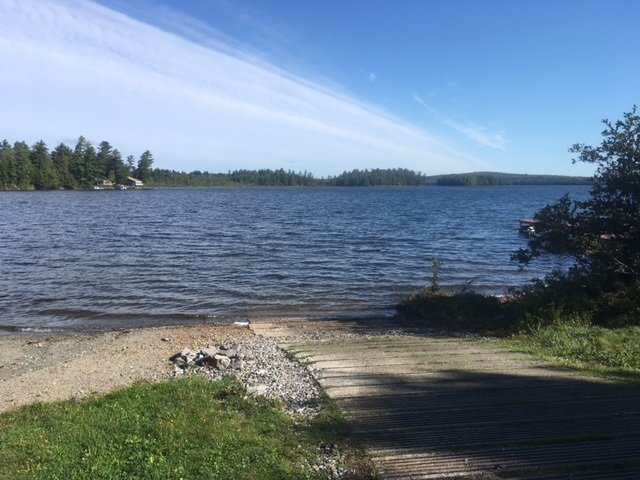
South Branch Lake is accessible via this nice hard-top boat launch

South Branch Lake is a 2,035 acre body of water located in Seboeis Plantation, Penobscot County, Maine (see The Maine Atlas and Gazetteer map 43 E3). The lake can be accessed from an excellent hard-top public boat launch located at the end of Lake Road (off Seboeis Road) at the southern end of the lake. Plenty of parking is available by this access point.


Continue reading

Digiprove sealCopyright protected by Digiprove