Fishing for Smallmouth bass on the Androscoggin River in Rumford, Maine (August 25, 2018)

View Map

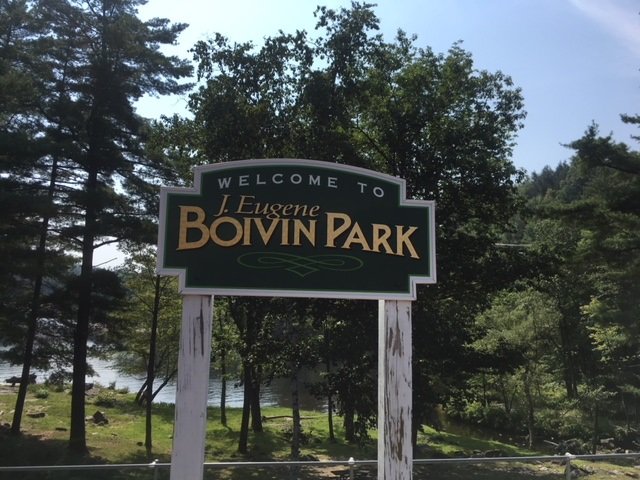
The Eugene Boivin Park provides public access to the Androscoggin River in front of the upper falls

My target for exploration today is the spillway in front of the upper section of Rumford Falls on the Androscoggin River in Rumford, Oxford County, Maine (see The Maine Atlas and Gazetteer map 78 C1). Click here, here, here, and here for other blogs about smallmouth bass fishing on nearby sections of the Middle Androscoggin River. Click here for tips on how to target these magnificent fighters. Rumford Falls is the highest waterfall east of Niagara Falls in western New York. Its total height is 178 ft, although the main plunge where I’m fishing this morning is a lower but still very impressive 100 ft high or so. The remainder of the falls consist of four smaller drops further downstream on the river, some of which are currently submerged by dams. A hydroelectric power station was built in the upper falls in the 1890’s and represents the main conduit for the river during the low-flow summer months. To see the full majesty of the upper falls requires that high water levels, which occur during snowmelt in mid-to-late April or after a heavy rainstorm later on in the year, spill over the dam at the top of the falls.


Continue reading

Digiprove sealCopyright protected by Digiprove
Fishing for Smallmouth bass on the Androscoggin River in Livermore Falls, Maine (August 18, 2018)

View Map


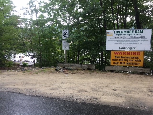
The Livermore Dam access point on River Road

I continue my summer-long exhilarating smallmouth bass exploration of the middle Androscoggin River (click here, here, and here for earlier blogs on the subject) by checking out the spot around the Livermore Dam in Livermore Falls, Androscoggin County, Maine (see The Maine Atlas and Gazetteer map 11 A5). The public access point is located on River Road off Federal Road (a.k.a. Route 4), just below the Bridge Street bridge over the river in Livermore Falls. Note that this access point can only accommodate hand-carried craft.


Continue reading

Digiprove sealCopyright protected by Digiprove
Fishing for smallmouth bass on the Androscoggin River in Jay, Maine (August 5, 2018)

View Map

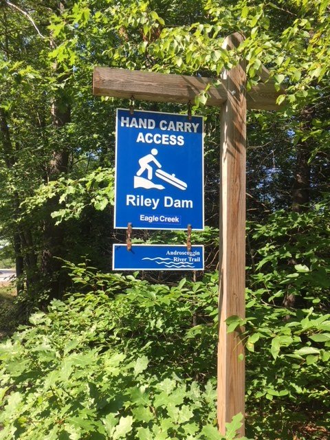
The blue access sign to Riley Dam is clearly visible from the road

It was so much fun catching lunker smallmouth bass yesterday on the Androscoggin River below the Jay Hydroelectric Power Plant in Jay that I decided I needed another dose of where that drug came from (click here for tips on how to catch these magnificent fighters)! My fishing effort today is on a short stretch of the Androscoggin River flowing just below the Riley Dam Power Plant which sits about one mile upstream of the Verso paper mill in Jay in Franklin County, Maine (see The Maine Atlas and Gazetteer map 19 E5). To reach the public access point, drive north into Jay on Route 4/17 and then turn left on Route 140. Drive for exactly 3.2 miles on this road until you reach the unnamed turn-off to the put-in for Riley Dam. That location is clearly marked by a blue sign next to the road. Plenty of parking is available. Keep in mind that this put-in can only accommodate hand-carried craft as it lacks an actual boat launch.

Continue reading

Digiprove sealCopyright protected by Digiprove

Fishing for smallmouth bass on the Androscoggin River in Jay, Maine (August 4, 2018)

View Map

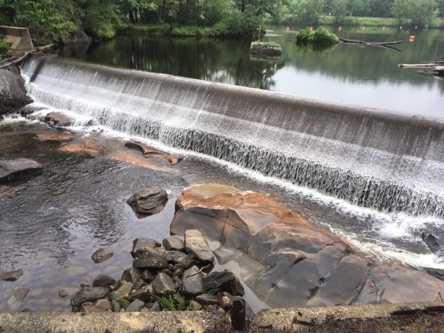
One of the three dams which stretches across the Androscoggin River in Jay.

My attention this afternoon is on the Androscoggin River flowing through Jay in Franklin County, Maine (see The Maine Atlas and Gazetteer map 19 E5). The river between the towns of Rumford in Oxford County (see The Maine Atlas and Gazetteer map 19 E1) and Livermore Falls in Androscoggin County (see The Maine Atlas and Gazetteer map 11 A5) supports a nationally-renown fishery for trophy smallmouth bass (click here for an example). My mission is to place some of those lunker fish in my boat!! Click here for tips on how to catch these magnificent fighters.
Continue reading

Digiprove sealCopyright protected by Digiprove

Fishing for smallmouth bass on the Saco River in Dayton, Maine (July 28, 2018)

View Map

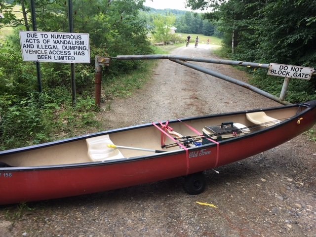
The Tragedy of the Commons


Water flowing out of a dam generates powerful downstream currents that will reliably attract, concentrate, and retain river smallmouth bass throughout the summer, as I have outlined in several earlier blogs (click here and here for examples). One such location is the Skelton Dam located on the Saco River in Dayton, Maine (see The Maine Atlas and Gazetteer map 3 B1). The tailrace below this dam is the focus of my fishing efforts this afternoon.


Continue reading

Digiprove sealCopyright protected by Digiprove

Fishing for smallmouth bass on the Androscoggin River in Mexico and Rumford, Maine (July 14, 2018)

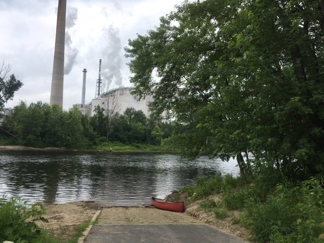
The boat launch on the Androscoggin River in downtown Mexico, with the paper mill looming in the background on the opposite shore.


(NOTE: this blog combines two separate fishing trips to the same location) I focus my attention this morning on fishing for smallmouth bass on the short, one-mile section of the Androscoggin River which flows between the Portland Street bridge in Rumford and the Veteran Street bridge in Mexico in Oxford County, Maine (see The Maine Atlas and Gazetteer map 19 E1 and also map 78 B1 and 2). Access to this water is via an excellent hard-top public boat launch located at the end of Riverside Avenue off Lincoln Avenue (Route 2 and 17) in downtown Mexico. Plenty of parking is available on Riverside Avenue. Note that, as I found out the hard way, during periods of lower water levels in the summer, this stretch of river should only be fished using a canoe or kayak. The reason is that parts of the Androscoggin River flowing above the confluence with the Swift River located on the boundary between Rumford and Mexico is too shallow and bouldery for safe motoring, whereas a canoe or kayak can easily be dragged further upstream. Also, the water gets quite shallow in the vicinity of the Veteran Street Bridge which can make motoring back upstream to the boat launch problematic.

Continue reading

Digiprove sealCopyright protected by Digiprove

Fishing for smallmouth bass on the Androscoggin River in Lisbon, Maine (July 7, 2018)

View Map

View of Rapid #1 from upstream.

The section of the Androscoggin River flowing in the area of Lisbon in Androscoggin County (see The Maine Atlas and Gazetteer map 6 AB 1) supports a thriving summer smallmouth bass fishery. The trick to success is to locate the kinds of habitat that will attract, concentrate, and retain these beautiful creatures. The required ingredients include adequate current, bouldery substrate, and appropriate depth. I’m focusing my attention this afternoon on a two-mile stretch of the Androscoggin River which provides easy access to this preferred habitat. I launch my motor boat from the excellent public access point on Sabattus Stream next to Frost Hill Avenue (right off Route 196/Lisbon Street). I float underneath Route 196 and the railroad tracks before turning right and motoring upriver. For the record, this fishing trip can also be accomplished using a canoe or kayak but will require muscle power.

Continue reading

Digiprove sealCopyright protected by Digiprove

Fishing for brown trout on the Kennebec River in Madison, Maine (June 16, 2018)

View Map

A pretty view of the section of the Kennebec River I’m fishing today. The boat launch on the opposite bank is just visible at the top of the picture

The Kennebec River flowing through downtown Madison and Anson in Somerset County (see the Maine Atlas and Gazetteer map 20 B4) is held back by the Anson and Abnaki dams, before it becomes free-flowing again. It is the free-flowing stretch of the river below the most downstream of these two dams (i.e., the Abenaki Dam) which is the focus of my attention this afternoon. I access the Madison side of the river by driving north on Route 201A into Madison. About half a mile before reaching downtown, I turn left unto Father Rasle Road, cross the unused railroad tracks, and park my car on the sandy shoulder. The river is flowing to my right down a steep slope. My goal is to drop down to the river, wade upstream, and fish for about half a mile up to the hydroelectric dam.

Continue reading

Digiprove sealCopyright protected by Digiprove

Fishing for landlocked Atlantic salmon on Pierce Pond in Somerset County, Maine (May 28, 2018)

View Map

It’s the long Memorial Day weekend of 2018 and that means that I’m on my annual pilgrimage to gorgeous Pierce Pond in Somerset County, Maine (see The Maine Atlas and Gazetteer map 30 A2). This huge “pond” is divided into three major basins (i.e., Upper Pond, Middle Pond and Lower Pond) which together cover a total of 1,650 acres. I’m fishing for four days in this special place with my sons Joel and Jon, and nephew Salvy. We’re renting a cozy log cabin at Cobb’s Camp in Lower Pond which affords us access to an indoor toilet, a hot shower, and cooked meals off the grid in the middle of nowhere!  Pierce Pond is a totally pristine and unspoiled environment. The lake is completely surrounded by forests in a protected watershed. These conditions maintain the exceptional surface water quality which supports a robust and self-sustaining native brook trout population and a healthy population of stocked landlocked Atlantic salmon. The latter range in weight from 2 to 4 pounds. General fishing laws apply, except that (a) the pond is closed to ice fishing, (b) the pond opens to fishing on May 1 (but beware that ice-out can occur well past May 1 after a cold winter), (c) only artificial lures are allowed, (d) the daily bag limit for brook trout is two fish, and (e) the minimum length limit for brook trout is 10”, with only one fish allowed to exceed 12”. Click here for a depth map and click here for the fishing rules.


Continue reading

Digiprove sealCopyright protected by Digiprove

Fishing for brook trout on Witch Hole Pond in Acadia National Park on Mount Desert Island, Maine (May 11, 2018)

View Map

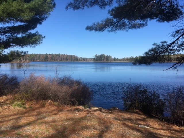
Witch Hole Pond can be shorefished for brook trout from multiple locations along the carriage road in early spring when the water is cool and the aquatic plant life subdued

Witch Hole Pond covers 28 acres and is located in Acadia National Park on Mount Desert Island (MDI) in Hancock County, Maine (see The Maine Atlas and Gazetteer map 16 B4). I reach the pond by walking for about 1.5 miles on the 16 foot-wide and well-maintained carriage road from the small parking lot located off Route 233 across from Eagle Lake. Be aware that you’ll need a pass to legally park your car anywhere inside the Park, including here. The pass can be purchased on-line or at the Park’s main visitor center on MDI, among other places. I reached the Route 233 parking lot earlier this morning and have fished Lower Breakneck Pond, Upper Breakneck Pond, and Halfmoon Pond along the way. After hitting these three spots, I replace my canoe on my “canoe wheels” and continue on to my last destination for today. I’ll state here for the record that I should have returned to the Route 233 parking lot after fishing Halfmoon Pond, loaded up my gear in/on my car, driven to the Hulls Cove visitor Center, and then walked from there the half mile to Witch Hole Pond. The reason is that the carriage road drops by a surprisingly steep (but barely perceptible) 85 ft between Halfmoon Pond and Witch Hole Pond. That loss of elevation does not present any problems when going downhill with the canoe. However, it demands a strenuous – and very perceptible – effort to continuously push the canoe back uphill for half a mile! It takes me a solid 40 minutes of huffing and puffing (and several snack refueling stops) to make it back to the Route 233 parking lot at the end of the day.


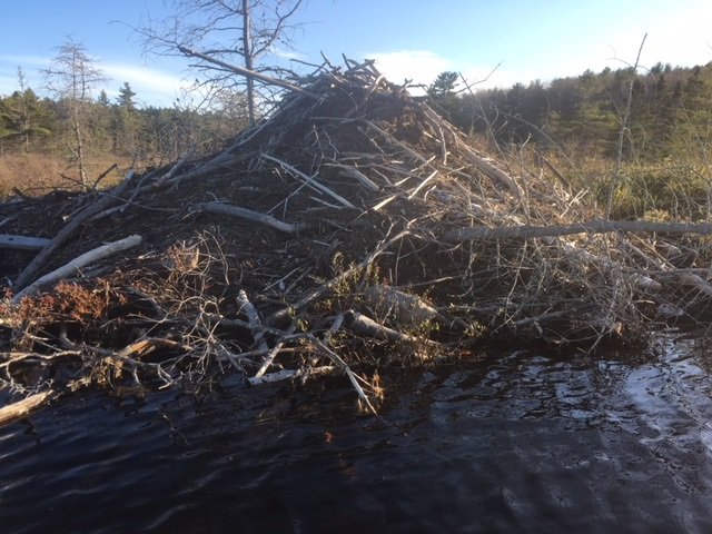
This big ol’ beaver lodge sits along the southern shore of Witch Hole Pond

Continue reading

Digiprove sealCopyright protected by Digiprove