Largemouth bass fishing on Island Pond in Harrison, Maine (August 16, 2014)

View Map

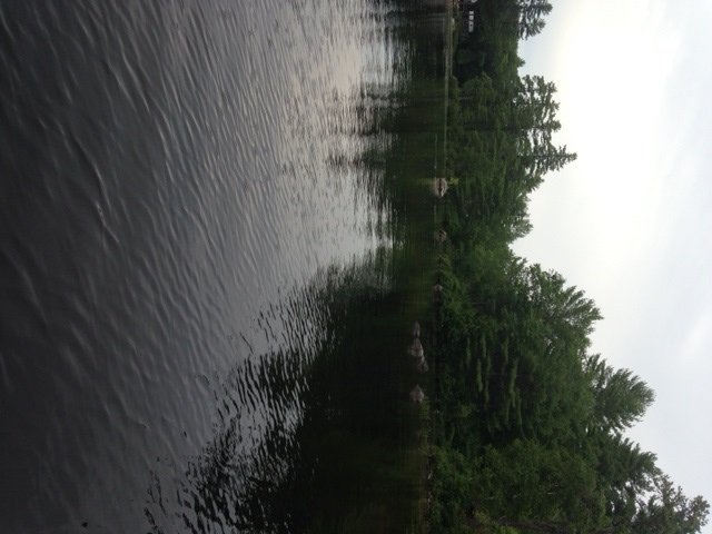
General view of Island Pond

General view of Island Pond

Island Pond is a 166-acre body of water which straddles the town lines of Harrison and Waterford, Maine (see The Maine Atlas and Gazetteer map 10 E5). The pond is located next to Temple Hill Road, off Route 117 (a.k.a. Norway Road). It has an unusually rectangular shape, with a long, narrow and rocky island at the southern end. Public access is available at a traditional carry-in situated on the western side of the pond after driving 0.5 miles on Island Pond Road. This access point is located right before the entrance to the Fernwood Cove Girl Summer Camp. Only hand-carried craft such as canoes or kayaks can be launched at this location due to the lack of a boat ramp. Several cars can park “rough” on the left-hand side of the road across from the access point.


Continue reading

Digiprove sealCopyright protected by Digiprove

Largemouth bass fishing on Moose Pond in Bridgeton, Maine (July 19, 2014)

View Map

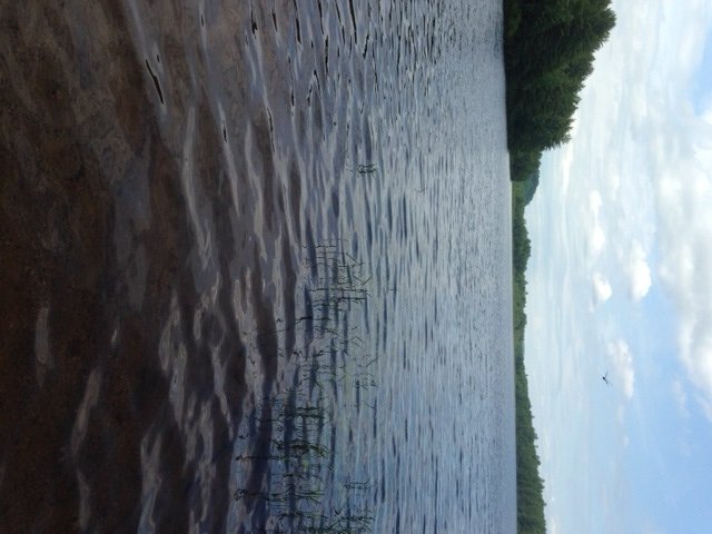
View of the shoreline in the Upper Basin

View of the shoreline in the Upper Basin

Moose Pond is a 1,694-acre body of water which straddles the towns of Denmark and Sweden in Oxford County, and Bridgeton in Cumberland County (see The Maine Atlas and Gazetteer Map 4 A&B3). An excellent hard-top boat launch is located on Route 302 on the eastern end of the causeway. A second hard-top boat launch (which I did not visit) is located at the southern end of the lake off Denmark Road in Denmark, less than a mile north of Route 160 (a.k.a. West Main Street; see the Maine Atlas and Gazetteer map 4 B3). I also noticed what appears to be a dirt launch for canoes and kayaks facing the Upper Basin on the wooded island which links to Route 302 about halfway down the causeway.  Moose Pond is a highly-popular regional destination for both open-water fishing in the spring, summer, and fall and for ice fishing in the winter. It consistently yields serious lake trout and landlocked salmon every year, particularly through the ice, but also during spring trolling. The largemouth and smallmouth bass populations are robust enough to support tournament fishing.


Continue reading

Digiprove sealCopyright protected by Digiprove

Smallmouth bass fishing on Dundee Pond, Windham, Maine (July 12, 2014)

View Map

General view if Dundee Pond: calm, serene, and all to ourselves!

General view if Dundee Pond: calm, serene, and all to ourselves!

Dundee Pond is a 197-acre body of water located in Windham and Gorham, Maine (see The Maine Atlas and Gazetteer map 5 D2). A public launch is located off Windham Center Road right below the North Gorham Pond Dam in Windham. This access point has parking for about eight cars but can only accommodate hand-carried craft. The stretch of water between the launch and the pond itself consists of about a quarter mile of the Presumpscot River. The current is steady and relatively strong which requires kayakers and canoeists to paddle their way back up after they’re done fishing on the pond. An alternative approach, which bypasses this flowing water altogether, is to launch an hand-carried craft from the sandy beach at Dundee Park located at the end of Dundee Road off River Road in Windham. The park is open from 8 am until sunset but charges an entry fee of $4 per adult (12 years and older) and $2 per child (2 to12 years). Click here for more information. I also attempted to access the pond at the Dundee Pond dam located at the end of Dundee Road (off Hurricane Road in Gorham) but turned around when I noticed that the road was posted as “no trespassing”.


Continue reading

Digiprove sealCopyright protected by Digiprove

Largemouth bass fishing on Otter Pond, Bridgton, Maine (June 14, 2014)

View Map


General view of Otter Pond from the launch area

General view of Otter Pond from the launch area


Otter Pond is a 90-acre body of water located in Bridgton, Maine (see The Maine Atlas and Gazetteer map 4 A4). To access the pond, turn right on Otter Pond Road after driving about 4 miles north on Route 302 from Naples. The pond will appear on your left after about 0.2 miles. Note that this “road” is quite rough and eroded, with rocks and small boulders sticking out left and right. I’m able to get through with my front-wheel drive car, but only slowly and very carefully… This pond provides a real sense of isolation and remoteness, which is remarkable considering that it is located but a few of miles outside of both Naples and Bridgton. Only two or three houses are visible from the water. The surrounding landscape is completely forested, with Mount Henry keeping watch in the background.


Continue reading

Digiprove sealCopyright protected by Digiprove

Trout fishing on Willett Brook in Bridgeton, Maine (May 18, 2014)

View Map

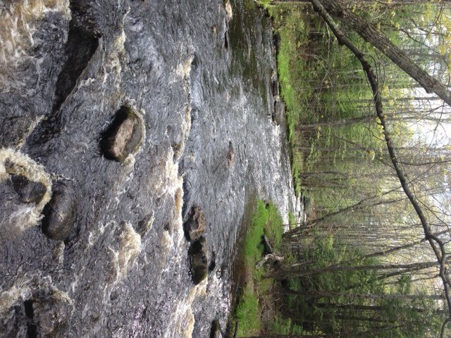
good stretch #6 (publish)This is a tale of two brooks…Willett Brook has its source in Denmark, ME. It flows north towards Bridgton and empties out into Long Lake. The State stocks this stream once each spring in late April-early May with around 400 brown trout measuring between 8” and 10”. General fishing rules apply. Click here for more details on the regulations.


Continue reading

Digiprove sealCopyright protected by Digiprove

Brook trout fishing on Panther Run, Raymond, Maine (April 28, 2014)

View Map

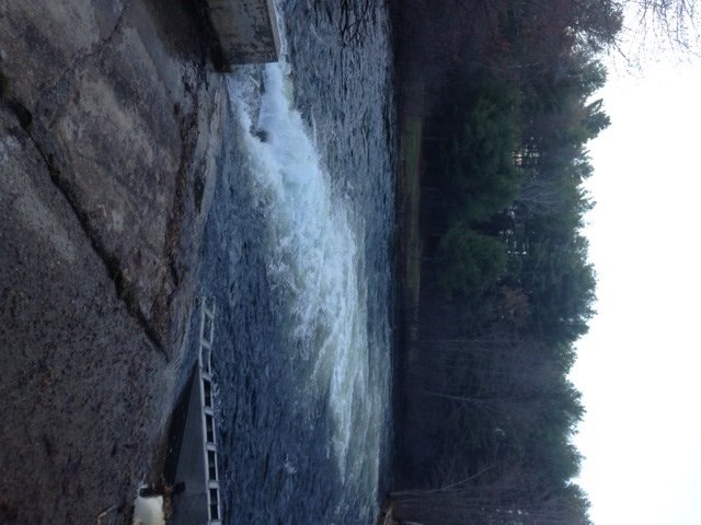
View of Panther Run from the dam

View of Panther Run from the dam

Panther Run (a.k.a. the Jordan River) is the outlet of Panther Pond. It starts at the Panther Pond dam by Mill Street and runs for roughly 1.5 river miles until it flows underneath Route 302 into Sebago Lake in Raymond. In early spring, melt water from the Crescent Lake and Panther Pond watersheds pours out into Panther Run via a long shute in the dam. This action creates a raging, roiling pool at the foot of the dam which attracts lots of brook trout. Note that the State stocks Panther Run each spring with several hundred brookies once in April and twice in May. Click here for the latest fish stocking data.


Continue reading

Digiprove sealCopyright protected by Digiprove

Ice fishing for smallmouth bass on Trickey Pond, Naples, Maine (March 29, 2014)

View Map

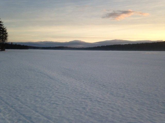
General view of Trickey Pond with cloud "mountains" in the background

Early morning view of Trickey Pond looking north with “cloud mountains” in the background

Trickey Pond covers 311 acres and is located next to Route 114 in Naples, Cumberland County (see The Maine Atlas and Gazetteer map 4 B5). Click here for a depth map and more fisheries information. Access to this pond is via a hard-top boat launch off Route 114. Beware that this launch is not typically plowed in the winter and that a 4X4 vehicle is required if you plan on driving down towards the pond. Limited parking is possible along the shoulder on Route 114. Trickey Pond contains exceptionally clean water (the pond is entirely spring-fed) and provides a smorgasbord of sport fish species. It supports a well-known regional salmonid fishery consisting of landlocked salmon, splake, and brook trout. But it also has an abundant smallmouth bass population of exceptional size and quality. It is these fish that I’m targeting today.

Continue reading

Digiprove sealCopyright protected by Digiprove

TOP 5 Brook Trout Ponds for the 2014 Spring Fishing Season in Cumberland County, Maine

This blog identifies the ponds in Cumberland County, Maine that provide the best odds of catching brook trout during the spring of 2014. Most of these ponds cover less than 50 acres and are therefore relatively small. Some ponds can be fished from shore, but most are best fished from a canoe or other small craft. The action on these bodies of water can be fast and furious in the spring. Trout activity typically peaks between late April and early June, after which the fishing slows down in response to rising surface water temperatures.

The TOP 5 brook trout ponds in Cumberland County for the spring of 2014 are highlighted below in alphabetical order. A pond is considered TOP due to its trout stocking density: after all, everything else being equal, the more brook trout that are stocked per acre of pond, the greater the chances of catching those fish.

Continue reading

Digiprove sealCopyright protected by Digiprove

Ice fishing for pickerel on Panther Pond, Raymond, Maine (January 26, 2014)

View Map

Panther Pond covers 1,439 acres and is located in Raymond, Cumberland County (see the Maine Atlas and Gazetteer map 5 B2). Click here for a depth map and more fisheries informationMy 11-year old nephew Christian calls me up in the late morning to ask if I want to go ice fishing with him. I wasn’t planning on it because I’ve been toiling since 6 am to complete a project for work. On the other hand, I’ve been locked up for too long and need to breathe in some fresh air. I tell him that I can spare a few hours to go pickerel fishing with him on Panther Pond. Our target is the large shallow bay just south of the peninsula called Betty’s Neck. The bay, which has a maximum depth of about 4 ft, is a reliable area for catching pickerel, yellow perch, and even an occasional largemouth bass through the ice. Access to the bay is via a snowmobile trail which starts at Giselle Lane, located off Route 121 just before the pond appears on the right (going north).

Continue reading

Digiprove sealCopyright protected by Digiprove

Ice fishing for trout on Otter Pond #4, Standish, Maine (January 19, 2014)

View Map

General view of Otter Pond #4

General view of Otter Pond #4

Otter Pond #4 (a.k.a. Snake Pond) covers 6 acres and is located off Route 35 in Standish, Cumberland County (see the Maine Atlas and Gazetteer map 5 D1). Click here for a depth map and more fisheries information. This small body of water is an extremely popular brook trout ice fishing destination in southern Maine. To access this pond, park your car on the small gravel parking lot next to the road bridge over the old railroad tracks. Walk down to the tracks, turn left, and walk for about 10 minutes. You’ll pass Otter Pond #1 (a.k.a. Half Moon Pond) on the right, Otter Pond # 3 on the left, quickly followed by Otter Pond #2 on your right. Get off the tracks and walk to the left around a wooded knoll. Otter #4 will soon appear on your left.   


Continue reading

Digiprove sealCopyright protected by Digiprove