Fishing for smallmouth bass on the Kennebec River in Skowhegan, Maine (July 27, 2019)

View Map

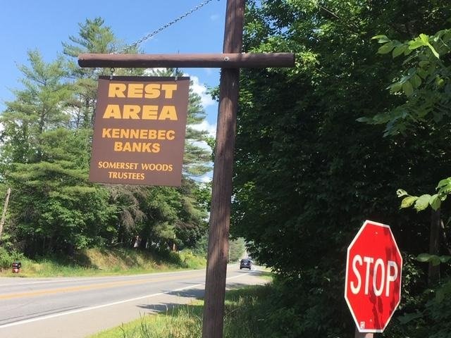
The public boat launch on the Kennebec River downstream of Skowhegan is located off Route 2 right next to the Kennebec Banks Rest Area


I continue my investigation of the smallmouth bass fishery on the Kennebec River (click here, here, here, and here for other locations) by targeting the area below the two hydroelectric power dams that girdle the island located in the middle of the river in downtown Skowhegan, Somerset County, Maine (see The Maine Atlas and Gazetteer map 80 B1 [Skowhegan]). An overview of the general area via Google Maps prior to my departure indicates that the river between these two dams and the Great Eddy located about 1 mile further downstream has several swift sections which look to be too shallow for use with a motor boat. So, I’ll bring my canoe instead. A more focused look via Google Maps of the river flowing right below the two dams shows what appear to be flat rocky ledges along both shorelines, some of which look accessible from the river-facing section of Water Street (i.e., Patten Court).


Continue reading

Digiprove sealCopyright protected by Digiprove
Fishing for smallmouth bass on the Kennebec River in Waterville, Maine (July 20, 2019)

View Map


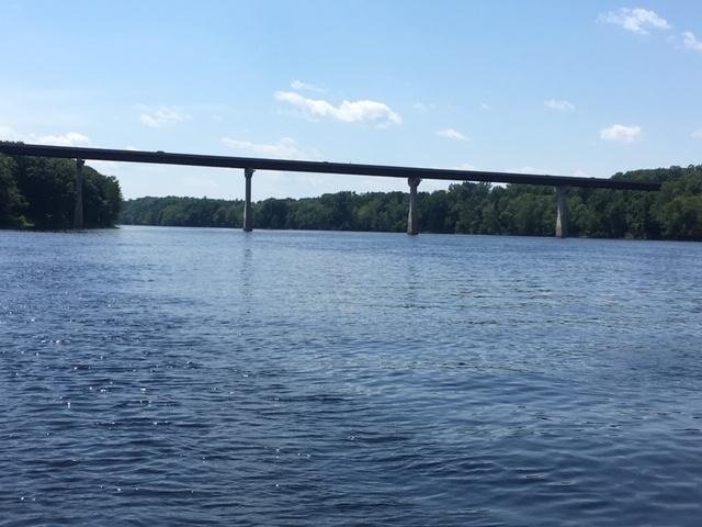
View of the Route 137 bridge over the Kennebec River from the “little gold mine”…


For today’s smallmouth bass fishing trip, I target the most downstream of the many hydropower dams on the Kennebec River based on the pattern I developed in previous years on the Androscoggin River (click here, here, and here for examples). This dam is located at the Ticonic Falls in downtown Waterville, just upstream of the confluence with the Sebasticook River (see The Maine Atlas and Gazetteer map 76 [Waterville/Winslow] C2). As an important aside, I use two independent sources to pinpoint these types of fishing spots: (a) the Maine Atlas and Gazetteer which shows, among a multitude of different kinds of information, the location of all the public boat launches in the state and (b) Google Maps which allows me to “fly” over the landscape and identify dams or other interesting features well before I set foot on my boat.


Continue reading

Digiprove sealCopyright protected by Digiprove

Fishing for smallmouth bass on the Androscoggin River in Livermore, Maine (July 14, 2019)

View Map


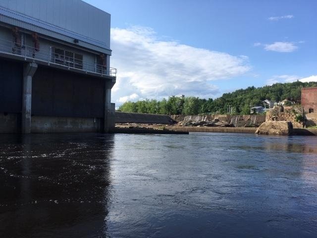
The water in the raceway flowing out of the power station on the left is quite powerful. Note that no water overflows the dam present in the background.


I have a couple of hours this afternoon to put my nephew Christian on smallmouth bass. He’s visiting from “away” and hasn’t touched a fishing rod for over two years. I decide to hit the Androscoggin River in front of the Otis hydropower station in Livermore, Androscoggin County, Maine (see The Maine Atlas and Gazetteer map 11 A5). I’ve had luck at this location in the past. Click here and here for earlier blogs on this spot and for directions on how to reach it. Keep in mind that you’ll need a canoe or kayak because a hard-top public boat launch is not available on this section of the river.


Continue reading

Digiprove sealCopyright protected by Digiprove

Fishing for brown trout and rainbow trout in the Saco River, Glen, Carroll County, New Hampshire (July 6, 2019)

View Map


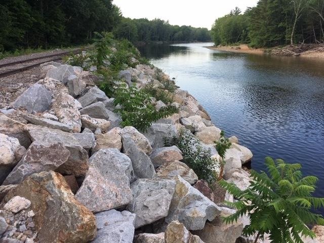
The railroad tracks (upper left) run on top of the embankment which plunges into the Saco River.


I spend the long July the 4th weekend camping with family members at the Glen Ellis Family Campground located right off Route 302 in Glen, NH (see the New Hampshire Atlas and Gazetteer map 45 G9). This well-maintained and well-organized campground sits at the confluence of the Ellis River with the much larger Saco River. I brought my ultralight spinning rod and my flyfishing rod in the hope of catching some trout, although I still have to figure out a good fishing spot close to camp. That location becomes obvious when we rent tubes from the campground to float the Saco River from our camp site all the way to North Conway (the trip takes up to 5 hours, covers about 8 miles, and requires a “return” car). The Conway Scenic Railroad tracks run right along the river bank just downstream of where the Ellis River flows into the Saco River. I suspect, as I look down into the water column when floating by on my tube, that the river along that bank holds trout because it is quite deep (I’m guessing 8+ ft in some spots) and filled with large boulders. The best part is that this choicy spot is an easy 10-minute walk from the campground. From the fresh, but not too cold, feel of the water during our tubing adventure, I’m guessing that the water temperature is in the high 60’s. I note for the record that the Conway Scenic Railroad is a local tourist attraction. Hence, the train only operates during the day and moves at a snail’s pace. It is therefore safe to fish from  that embankment.

Continue reading

Digiprove sealCopyright protected by Digiprove

Fishing for brook trout on Dixon Pond in Pierce Pond Township, Somerset County, Maine (May 28, 2019)

View Map


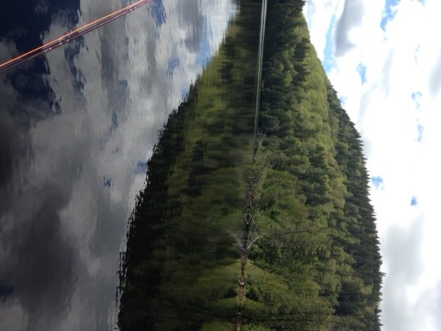
Pierce Pond Mountain plunges into Dixon Pond.


Dixon Pond is a picturesque 17-acre body of water located within the Pierce Pond Township in Somerset County, Maine (see The Maine Atlas and Gazetteer map 30 A1). It is sandwiched between Dixon Mountain and the eastern flank of mighty Pierce Pond Mountain. I access this pond via a poorly-marked 1-mile trail that starts at the water’s edge in the narrows separating lower from middle Pierce Pond. However, the Maine Atlas and Gazetteer shows that Dixon Pond can also be reached via a rough 2.5 to 3 mile logging road off Cobb’s Camp Road starting at Lindsey Cove in lower Pierce Pond. I haven’t used the latter and can’t tell how easy it would be to find the pond from that direction. What I can say is that the 1-mile trail I used on my expedition today was a total clusterf*ck on account of extensive clear-cutting in that part of the woods in the recent past, plus significant tree blow-downs during last winter’s storms. A half-hour stroll through the forest became a one hour ordeal of carefully working my way through mud pools, deep skitter gullies, fallen trees, root balls, and other obstacles, without getting lost along the way.

Continue reading

Digiprove sealCopyright protected by Digiprove

Fishing for brook trout on Broken Bridge Pond in Albany (White Mountain National Forest), Maine (June 9, 2019)

View Map


Broken Bridge Pond is an 18-acre body of water in the township of Albany (White Mountain National Forest, WMNF), Oxford County (see The Maine Atlas and Gazetteer map 10 C3). To reach this spot, drive down Route 5/35 and turn on Old West Bethel Road, followed by Patte Brook Road, and then Crocker Pond Road (through the open WMNF gate) for about 1.5-2 miles. A GPS will definitely help keep your bearings! Look out for a sign on the left side of Crocker Pond Road which announces a campsite on the shore of our target pond. The rough canoe launch is down an unmarked dirt road on the left about 500 ft before this campsite.
Continue reading

Digiprove sealCopyright protected by Digiprove

Fishing for brook trout on Round Pond in Albany (White Mountain National Forest), Maine (June 8, 2019)

View Map


The float tube is my secret fishing weapon this afternoon!


Round Pond is a picturesque 11-acre body of water located in Albany (White Mountain National Forest, WMNF), Oxford County (see The Maine Atlas and Gazetteer map 10 C3). To reach this spot, drive up to the Crocker Pond camp ground managed by the US Forest Service and leave your vehicle at the head of the Albany Brook Trail, located about 300 ft past the campground entrance. By the way, this clean and well-maintained campground is a great base to explore the tremendous hiking and fishing opportunities in the surrounding WMNF. Round Pond is an easy 1-mile hike (about 30 minutes) from camp. A serious limitation is that, unlike Baxter State Park, the Forest Service does not store a canoe along the shoreline of remote ponds for day use. Hence, you’ll have to bring your own floatation device. Two people could conceivably drag in a canoe at great metabolic cost. I carry my much lighter float tube since I’m fishing by myself this afternoon. For the record, quality fishing from shore would be a real challenge at this location because the entire shoreline is surrounded by dense shrubs
Continue reading

Digiprove sealCopyright protected by Digiprove

Fishing for landlocked Atlantic salmon on Pierce Pond, Somerset County, Maine (May 26, 2019)

View Map

A quiet moment of reflection at the camp site located in the upper basin of Pierce Pond

I’m on my annual extended Memorial Day weekend fishing bonanza to Pierce Pond, located in the undeveloped wilds of western Maine (see the Maine Atlas and Gazetteer map 30 A2). We stay for several days at a camp site on one of the islands in the upper basin of the pond, but head to Cobb’s Camps located in the lower basin across from Lindsey Cove to let ourselves be pampered for four days.

Continue reading

Digiprove sealCopyright protected by Digiprove

Ice fishing for smallmouth bass and largemouth bass on Panther Pond, Raymond, Maine (February 23, 2019)

View Map

It’s crisp and cold this morning. Time to rise and start ice fishing!


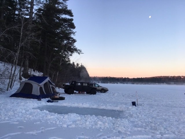
It’s the annual winter school vacation, so it’s high time to go camping and fishing with the kids… on the ice! My son Joel and I are eager to make it a success because this will be a new experience for his two boys. The goal is to find a spot on a local lake where we can drive up, pitch the family tent, and be reasonably assured of catching quality fish to keep the two boys engaged and entertained. Previous fishing experiences on Panther Pond in Raymond, Maine (see the Maine Atlas and Gazetteer map 5 B2) has shown us that this body of water supports a serious smallmouth and largemouth bass population of braggin’-size fish (click here, here, and here for examples). My son Joel and I are putting that information to good use.


Continue reading

Digiprove sealCopyright protected by Digiprove

Ice fishing for largemouth bass on Bradley Pond, Lovell, Maine (February 9, 2019)

View Map


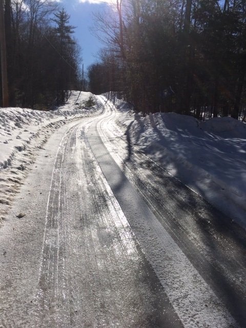
Bradley Pond Road is one continuous sheet of slippery ice this morning!


Bradley Pond is a 34 acre body of water located in Lovell, Maine (see The Maine Atlas and Gazetteer map 10 D2). To reach this destination, drive north on Route 5 from Lovell, and turn right on Bradley Pond Road. Drive down this winding road, keeping right at the split, until the pond appears to your left. The ice can be accessed via the rough boat launch indicated by a sign. No real parking is available during the winter because the small launch area remains unplowed, so vehicles have to be parked as best as possible along the side of the road. Fortunately, the road itself has no through traffic since it is a dead end that serves only the three houses present along the western shoreline.

Continue reading

Digiprove sealCopyright protected by Digiprove