TOP brook trout ponds for the 2016 ice fishing season in Androscoggin County, Maine

The TOP brook trout ponds for the 2016 ice fishing season in Androscoggin County are highlighted below (in alphabetical order).  A pond is considered “top” based on its stocking density. Simply put, the more trout are packed per acre, the higher the chances of catching them through the ice!


For the purpose of this blog, I’ll define a brook trout pond as a body of water with a surface area of less than 100 acres which is stocked in the fall with hatchery-reared brook trout to support ice fishing.  These ponds tend to freeze over early in the season and are typically safe to fish well before the bigger lakes become accessible.  This provides early-action opportunities for those of us (myself included!) who just can’t wait to get the hard-water fishing season going. Click here for tips to increase your chances of catching more brookies through the ice.

Continue reading

Digiprove sealCopyright protected by Digiprove

Best ice fishing ponds for catching rainbow trout in Maine (winter of 2016)

This blog describes a select group of ponds in Maine that provide the best potential for catching rainbow trout through the ice during the winter of 2016. Around 20 ponds, most of them located in southern Maine counties, are managed as rainbow trout fisheries. Many of these ponds are open to ice fishing and are stocked with bows each spring and/or fall.


I only present ponds that were stocked in 2015 with a minimum of 1 rainbow trout per acre. As a rough yardstick, the average stocking density for landlocked salmon in Maine ponds and lakes is about 0.3 to 0.5 salmon per acre, which equals 1 salmon every two to three acres.

Continue reading

Digiprove sealCopyright protected by Digiprove

Best ice fishing ponds for catching lunker trout in Maine (winter of 2016)

The state releases part of its trout brood stock every fall to create some real and unexpected excitement on the ice. In most cases, though, too few of these huge fish are present such that catching one of them falls into the category of plain-old luck. In a few select ponds, however, enough of these fish were released in the fall of 2015 that it would make sense to target them specifically. For this blog, I define a “lunker trout” as measuring between 18” and 21”. Such a fish would weigh between 3.0 and 5.0 lbs depending on its size, which would make anyone’s ice fishing day! I also defined the minimum stocking density where it becomes worthwhile to target these hogs as around 0.3 fish per acre of pond. This value represents the average stocking density for landlocked salmon throughout Maine.

The following ponds (presented in alphabetical order) met the two criteria outlined above (i.e., fish size range and minimum stocking density).

No other ponds in the State of Maine offer better odds of catching the fish of a lifetime during the 2016 ice fishing season than those listed below. It is recommended to consult the latest law book (click here for details) about special ice fishing rules that may apply on these ponds.

I did my utmost best to verify that a particular pond is indeed open for ice fishing, but I make no guarantees whatsoever that my interpretation of the convoluted Maine fishing rules is accurate or correct. It is up to each reader of this blog to ensure that a pond listed below can be fished through the ice by checking the latest regulations.

Note also that the list below excludes “kids only” ponds which have their own stocking regime and special fishing rules.


Continue reading

Digiprove sealCopyright protected by Digiprove

Trout fishing on Worthley Pond, Poland Spring, Maine (November 21, 2015)

View Map

The public launch on Worthley Pond can accommodate small trailered boats

The public launch on Worthley Pond can accommodate small trailered boats

Worthley Pond is a 42-acre body of water located in the town of Poland Spring, Androscoggin County (see The Maine Atlas and Gazetteer map 5 A3). To reach the public access point to this lake, turn east onto  Route 122 from Route 26 and drive for about 1.2 miles, passing the brown sign to Range Pond State Park, before turning right on Worthley Pond Road. Keep in mind that several portions of this access road are rather rough, but passable with a regular car. The boat launch itself is unimproved and sandy, but can accommodate small powered boats. Up to several cars can be parked opposite of the launch.


Continue reading

Digiprove sealCopyright protected by Digiprove

Trout fishing on Deer Pond, Hollis, Maine (November 14, 2015)

View Map

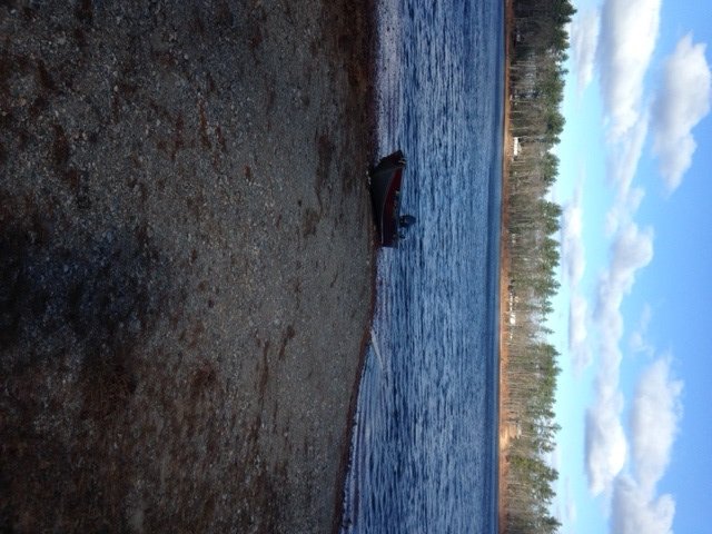
The boat launch with view of the northern shore

The boat launch of Deer Pond with a view of the northern shore

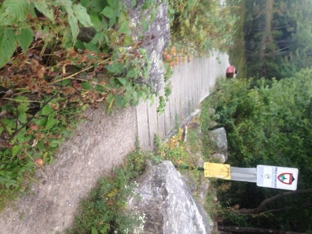
Deer Pond is a 32-acre body of water located in the town of Hollis, York County (see The Maine Atlas and Gazetteer map 2 A5). The town-owned access point, which is not shown on the map, is located at the southern end of the pond right off busy Route 117 (Cape Road). Driving east on Route 117, look for a long brown wooden fence on the left. The access point, which is not posted, is located on the left at the end of that fence. The gravel boat launch is quite adequate and can accommodate small trailed boats. Parking is on the shoulder of Route 117, and rather limited. I would not recommend leaving a vehicle in the access area due to the presence at the end of the boat launch of a surface water intake for fire-fighting purposes.


Continue reading

Digiprove sealCopyright protected by Digiprove

Lake trout fishing on Sebago Lake, Cumberland County, Maine (November 1, 2015)

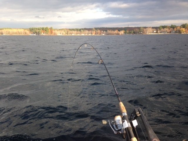
The sun playing with shadows and the shoreline of Sebago lake

The sun painting shadows along the shoreline of Sebago lake

Sebago Lake is the Crown Jewel of southern Maine’s lake region. The two key salmonid species in this system are the landlocked Atlantic salmon and the lake trout. My goal this afternoon is to help my 12-year old nephew Christian catch a salmon! I haven’t introduced him yet to salmon fishing, but we’ve talked many times in the past about the exhilaration of hooking one of those beauties: the bite, the fight, the jumps, and the excitement of it all.  I’d love for him to make that experience, because he’s more than ready for it. I’ve trained him for a while now to fish with lead core line for white perch and bass. He has clearly shown the tenacity and shear doggedness required to troll the big water for landlocked Atlantic salmon.


Continue reading

Digiprove sealCopyright protected by Digiprove

Largemouth bass fishing on Mosher Pond, Fayette, Maine (September 26, 2015)

View Map

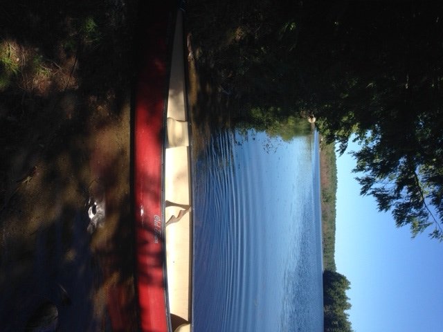
View of Mosher Pond from the access point off Chesterville Ridge Road

View of Mosher Pond from the access point off Chesterville Ridge Road

Mosher Pond (a.k.a. Lane’s Pond) is a 76-acre body of water located in the town of Fayette (see The Maine Atlas and Gazetteer map 12 A1). One access point I found is located on Chesterville Ridge Road (also called Mosher Pond Road in Google Maps) at the very southern tip of the pond. Only small hand-carried craft can be launched from this point. Plenty of parking is available alongside the road.


Continue reading

Digiprove sealCopyright protected by Digiprove

Largemouth bass fishing on Brainard Pond, Readfield, Maine (September 26, 2015)

View Map

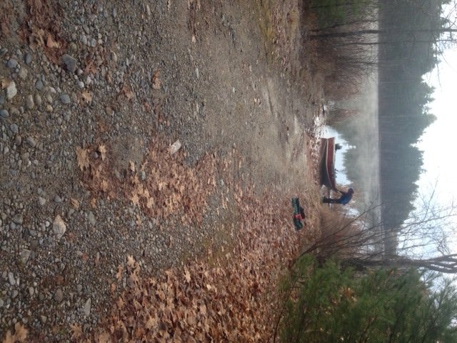
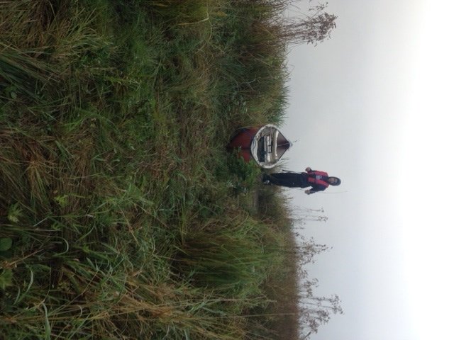
The access point to Brainard Pond. The fog on the water is so thick that the pond, located right behind Christian, is invisible!

The access point to Brainard Pond. The fog on the water is so thick that the pond, located right behind Christian, is invisible!

Brainard Pond is a 20-acre body of water located in the town of Readfield (see The Maine Atlas and Gazetteer map 12 B4). I found one access point as follows: turn on Plains Road from Route 17, drive north on Plains Road for just under 0.5 mile and look for an unnamed gravel road on the left. You’ve gone too far on Plains Road if you pass Brainard Road.  Turn left on the gravel road and go straight unto a forest path when the gravel road veers to the left after about 0.1 mile. The pond is located 0.3 miles further down this path. It looks rough and overgrown but my small front-wheel-drive car made it in and out fine. I did walk first all the way to the pond and back just to make sure that I wouldn’t get stuck! I’m assuming for the purpose of this blog that this access is legitimate because it was not posted anywhere along the way. You can leave your car in the woods about 200 ft from the pond. Only small hand-carried craft can be launched from this point.


Continue reading

Digiprove sealCopyright protected by Digiprove

Largemouth bass fishing on Little Cobbosseecontee Lake, Winthrop, Maine (September 19, 2015)

View Map

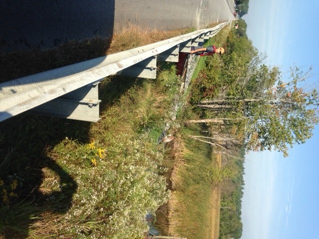
The access point along Route 202 is a challenge to get in and out of.

The access point along Route 202 is a challenge to get in and out of.

Little Cobbosseecontee Lake is a 75-acre body of water located in the town of Winthrop, Maine (see The Atlas and Gazetteer map 12 C4). Public access to this pond is a real problem. The “boat launch” is situated by the outlet which flows underneath Route 202. This road is a major motorway into and out of Augusta located less than five miles away. The traffic is incessant and flying by at 55+ MPH. The boat and all the fishing equipment needs to be heaved over the road safety railing and down the rip-rap boulders towards the three large culverts. Needless to say, only hand-carried craft can be launched from this point. There’s ample parking on the road shoulder. Please keep in mind that this access is NOT kid-friendly!

Continue reading

Digiprove sealCopyright protected by Digiprove

Largemouth bass fishing on Jimmie Pond, Manchester and Farmingdale, Maine (September 19, 2015)

The public access point to Jimmie Pond can only accommodate hand-carried craft

The public access point to Jimmie Pond can only accommodate hand-carried craft

Jimmie Pond (a.k.a. Jamie’s Pond) is a 107-acre body of water located in the towns of Manchester and Farmingdale, Maine (see the Maine Atlas and Gazetteer map 12 C4). This pond is at the core of the 915-acre Jamie’s Pond Wildlife Management Area, which is owned and operated by the Maine Department of Inland Fisheries and Wildlife (click here for details).  The pond and its surrounding land was formerly the property of the Hallowell Water District which supplied drinking water for the nearby town of Hallowell. As a result of this historic use, the pond’s shoreline has remained largely undeveloped, thereby providing an unusually unspoiled setting within a stone’s throw of downtown Augusta. The land surrounding the pond supports various outdoors activities throughout the four seasons (click here for details). The public access to this pond is located by the former pump house at the end of Jamies Pond Road (off Outlet Road). The access point consists of a hard launch but only hand-carried craft can be released because the launch is blocked by two massive boulders. A review of the fishing rules, and searching on the internet, does not suggest that gasoline-powered engines are forbidden on the pond.

Continue reading

Digiprove sealCopyright protected by Digiprove