Ice fishing for brook trout on Chaffin Pond in Windham, Cumberland County, Maine (December 23, 2019)

View Map

Chaffin Pond is a pretty 13-acre body of water located in Windham, Maine (see The Maine Atlas and Gazetteer map 5 C2). Access is super-easy! Drive on Route 302 north into Windham, pass the Home Depot sign (Franklin Drive) and take the next right on Chaffin Pond Reserve Drive (Donnabeth Lippman Park) just before the Sherman Williams store. Our target is a couple of 100 ft down that ruddy dirt road. Ample parking is available. The pond and its surrounding woods once belonged to the Portland Water District which prevented any development (except for a few groundwater pump houses). The area is now a well-used municipal park where young and old come to picnic, walk the many trails, use the playground, or fish, literally smack in the middle of Windham’s busy business district!

Continue reading

Digiprove sealCopyright protected by Digiprove
Fishing for brook trout on Charles Pond, in Georgetown, Sagadahoc County, Maine (November 9, 2019)

View Map


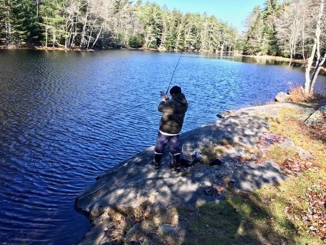
Geovani casting in the basin at the outlet by the road. No easy pickings here today…


Charles Pond covers 14 acres and is located next to Route 127 (Five Islands Road) in Georgetown, Sagadahoc County, Maine (see The Maine Atlas and Gazetteer map 7 D1). This location has proven to be an excellent early ice-fishing destination for me in the past (click here and here for examples). The pond was stocked earlier this fall with 150 7” brookies (about 11 trout per acre) and 75 13” brookies (= about 5 trout per acre). I am eager to connect with those larger one-pounders this morning.

Continue reading

Digiprove sealCopyright protected by Digiprove

Fishing for brook trout on Otter Pond #2 in Standish, Cumberland County, Maine (November 7, 2019)


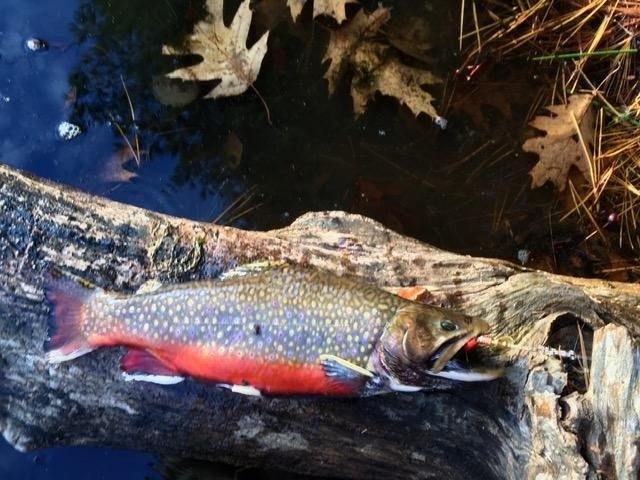
Those colors…!


Otter Pond #2 is a 12-acre body of water located off Route 35 in Standish, Cumberland, Maine (see The Maine Atlas and Gazetteer map 5 D1). Click here for directions on how to reach this pond. Her and I are old acquaintances, having met many times over the years in the spring, fall, and winter. This pond is heavily stocked with brook trout each fall in anticipation of the busy ice-fishing season. Earlier this fall, the state released 600 8” brookies (= 50 trout per acre) and 130 13” brookies (= 11 trout per acre), which add up to a lot of fish! Those bigger fish are the ones calling me in. It is high time that I pay a visit and check out the place before it starts freezing over.

Continue reading

Digiprove sealCopyright protected by Digiprove

Fishing for brook trout on Chaffin Pond in Windham, Cumberland County, Maine (November 1, 2019)

View Map


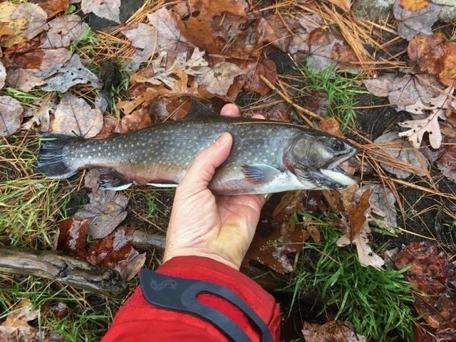
The first brookie of the morning. I’m on to something!


Chaffin Pond is a pretty 13-acre body of water located in Windham, Maine (see The Maine Atlas and Gazetteer map 5 C2). Access is super-easy! Drive on Route 302 north into Windham, pass the Home Depot sign (Franklin Drive) and take the next right on Chaffin Pond Reserve Drive (Donnabeth Lippman Park) just before the Sherman Williams store. Our target is a couple of 100 ft down that ruddy dirt road. Ample parking is available. The pond and its surrounding woods once belonged to the Portland Water District which prevented any development (except for a few groundwater pump houses). The area is now a well-used municipal park where young and old come to picnic, walk the many trails, use the playground, or fish, literally smack in the middle of Windham’s busy business district!

Continue reading

Digiprove sealCopyright protected by Digiprove

Fishing for brook trout on Otter Pond #4 in Standish, Cumberland County, Maine (October 26, 2019)

View Map


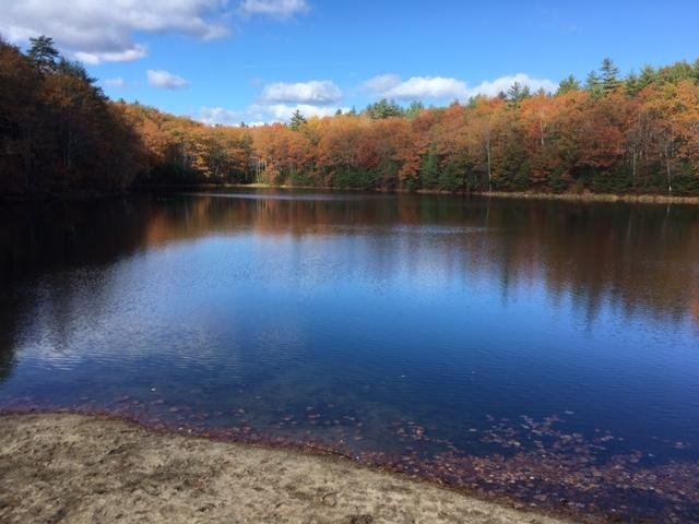
View of Otter Pond #4 from the beach. The best fishing is from the shore on the right-hand side of this picture.


Otter Pond #4, a.k.a. Snake Pond, is a 6-acre body of water located off Route 35 in Standish, Cumberland, Maine (see The Maine Atlas and Gazetteer map 5 D1). Click here for directions on how to reach this pond. My blog readers have asked me about locations in southern and central Maine that can be wader fished from shore in the fall without the need for a boat. This spot is one of many. We are actually old acquaintances, having met numerous times before (click here and here for examples). It is heavily stocked with brook trout each fall in anticipation of the busy ice-fishing season. Fortunately for us, this little gem is available for open-water fishing between October 1 and November 30 using artificial lures only and with the stipulation that all trout caught must be released at once.   Click here for more details on the fishing rules. Click here for a depth map.

Continue reading

Digiprove sealCopyright protected by Digiprove

Fishing for lake trout on Kezar Lake in Lovell, Oxford County, Maine (October 19, 2019)

View Map


I just love the way the rising sun “paints” the surrounding landscape.


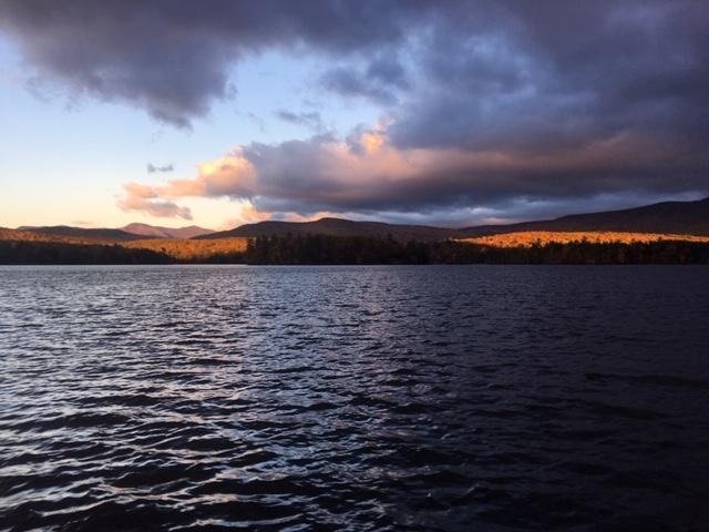
Kezar Lake is a 2,510-acre body of water located in Lovell, Oxford County, Maine (see The Maine Atlas and Gazetteer map 10 D2). To reach this location, drive north on Route 5 past Lovell and turn left on West Stoneham Road. Drive on this road for about 500 ft and look for the large blue boat-launch sign. After passing the sign, turn left on North Lovell Landing Road and drive about a quarter mile all the way down to the lake. The boat launch, which is located at the north end of Upper Bay, is spacious and provides lots of parking area. The launch itself is not improved but can accommodate large boats. In fact, the lake residents use it to put in and take out their pontoon boats. I note for the record that a second boat launch is located further south, by the Narrows on West Lovell Road, between Middle and Lower Bay. I don’t use that launch today because I aim to catch lake trout and landlocked salmon which are more abundant in the deeper Upper Bay.

Continue reading

Digiprove sealCopyright protected by Digiprove

Fishing for brown trout on Silver Lake (a.k.a. Figure Eight Pond) in Sidney and Manchester, Kennebec County, Maine (October 12, 2019)

View Map


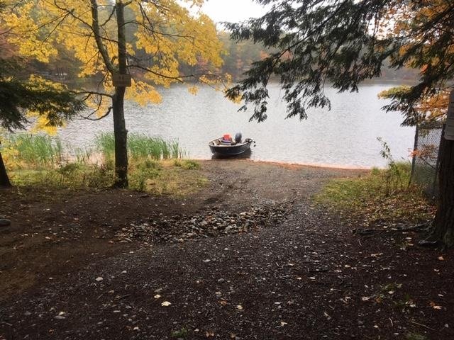
The boat launch is unimproved, steep, and gravelly…


Silver Lake (a.k.a. Figure Eight Pond) is a 29-acre body of water located in Sidney and Manchester, Kennebec County, Maine (see The Maine Atlas and Gazetteer map 12 B5). To reach this location, drive on Route 27 north (towards Belgrade), turn left on Summerhaven Road, go for about 0.6 miles before turning left on Baxter Drive, drive for about 0.2 miles and turn right on Community Drive. The southern lobe of the pond will soon appear on your right. The public boat launch consists of loose gravel and is otherwise unimproved, but can accommodate small trailered boats. However, keep in mind that the launch is fairly steep; I had to use four-wheel drive to pull my boat up the wet and gravelly incline on my way out. In addition, the water by the launch is rather shallow, which requires backing into the lake a fair bit before the boat will float off. I also had to put on my hip boots to manually guide my boat back on the trailer on account of the shallow depth by the launch. Parking space is limited on Community Drive and occurs along the side of the road next to the launch.

Continue reading

Digiprove sealCopyright protected by Digiprove

Fishing for brown trout on Biscay Pond in Bremen, Lincoln County, Maine (September 28, 2019)

View Map


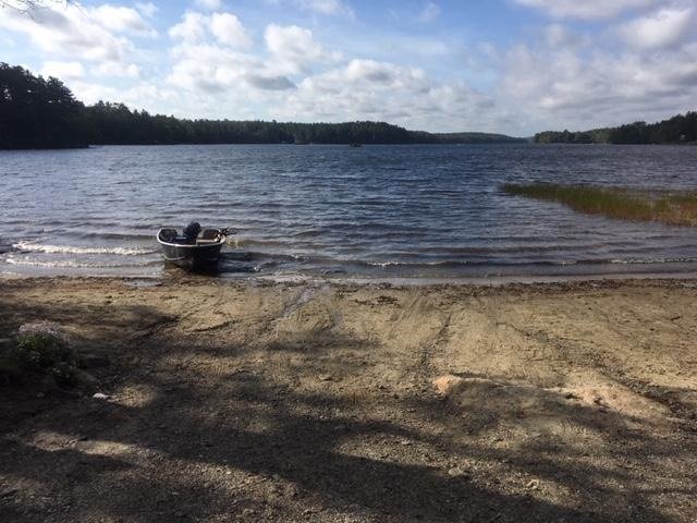
View of the sandy boat launch. The picture does not do justice to the wind howling down the length of the pond.


Biscay Pond is a 377-acre body of water located in Bremen, Lincoln County, Maine (see The Maine Atlas and Gazetteer map 7 A4). To reach this location, drive on Route 1 into downtown Damariscotta, turn onto Biscay Road (by the McDonald’s restaurant), and drive down that road for about 2.5 miles. The pond will appear on your right. The boat launch is sandy and unimproved, but can accommodate large trailered boats. The biggest challenge with this launch is its shallowness, which requires backing your vehicle quite a way into the water before the boat will float. I’m very glad I brought my Jeep and hip boots! Ample parking is available along Biscay Road.

Continue reading

Digiprove sealCopyright protected by Digiprove

Fishing for brook trout on Dixon Pond in Pierce Pond Township, Somerset County, Maine (May 28, 2019)

View Map


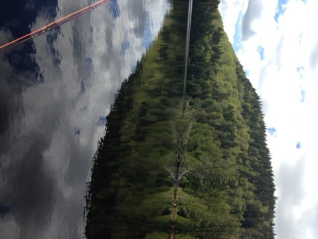
Pierce Pond Mountain plunges into Dixon Pond.


Dixon Pond is a picturesque 17-acre body of water located within the Pierce Pond Township in Somerset County, Maine (see The Maine Atlas and Gazetteer map 30 A1). It is sandwiched between Dixon Mountain and the eastern flank of mighty Pierce Pond Mountain. I access this pond via a poorly-marked 1-mile trail that starts at the water’s edge in the narrows separating lower from middle Pierce Pond. However, the Maine Atlas and Gazetteer shows that Dixon Pond can also be reached via a rough 2.5 to 3 mile logging road off Cobb’s Camp Road starting at Lindsey Cove in lower Pierce Pond. I haven’t used the latter and can’t tell how easy it would be to find the pond from that direction. What I can say is that the 1-mile trail I used on my expedition today was a total clusterf*ck on account of extensive clear-cutting in that part of the woods in the recent past, plus significant tree blow-downs during last winter’s storms. A half-hour stroll through the forest became a one hour ordeal of carefully working my way through mud pools, deep skitter gullies, fallen trees, root balls, and other obstacles, without getting lost along the way.

Continue reading

Digiprove sealCopyright protected by Digiprove

Fishing for brook trout on Broken Bridge Pond in Albany (White Mountain National Forest), Maine (June 9, 2019)

View Map


Broken Bridge Pond is an 18-acre body of water in the township of Albany (White Mountain National Forest, WMNF), Oxford County (see The Maine Atlas and Gazetteer map 10 C3). To reach this spot, drive down Route 5/35 and turn on Old West Bethel Road, followed by Patte Brook Road, and then Crocker Pond Road (through the open WMNF gate) for about 1.5-2 miles. A GPS will definitely help keep your bearings! Look out for a sign on the left side of Crocker Pond Road which announces a campsite on the shore of our target pond. The rough canoe launch is down an unmarked dirt road on the left about 500 ft before this campsite.
Continue reading

Digiprove sealCopyright protected by Digiprove