Fishing for smallmouth bass on the Androscoggin River in Livermore, Maine (September 8, 2018)

View Map

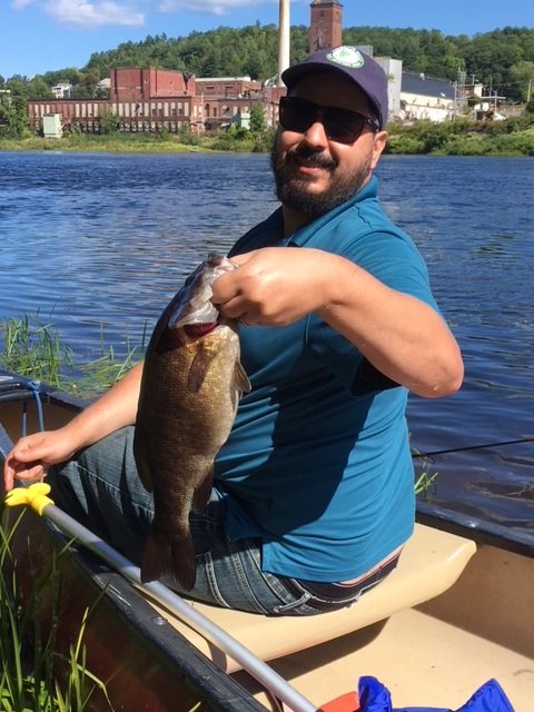
Joey is a happy paddler this morning!

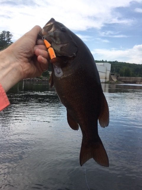
My nephew Joey is visiting Maine from away and asks me if I could take him fishing before he leaves back home. Are you kidding me? That’s like asking a honey bee if it wants to drink sweet nectar out of a fragrant flower!! Of course I’ll take him out and put him on fish. I want the trip to be as successful as possible though. I therefore choose a location on the Androscoggin River where I had tremendous luck catching fat smallmouth bass two weeks ago, namely in front of the Otis hydropower station in Livermore, Androscoggin County, Maine (see The Maine Atlas and Gazetteer map 11 A5). Click here for directions on how to reach this location. We have about 2 hours to make something happen because Joey needs to be back on time to pack up and get to the airport later on that afternoon

Continue reading

Digiprove sealCopyright protected by Digiprove
Fishing for Smallmouth bass on the Androscoggin River in Brunswick, Maine (September 1, 2018)

View Map

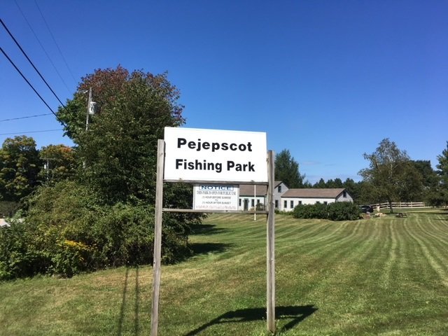
The turn-off is in front of this sign next to mailbox #822 on River Road.

My goal this afternoon is to fish the Androscoggin River below the dam and hydropower station located in Brunswick, Maine, across the river from Pejepscot (see The Maine Atlas and Gazetteer map 6 B2). Note that I am not talking about the “head of tide” dam/power station located in downtown Brunswick (see The Atlas and Gazetteer map 78 B2, just upstream of the route 24/201 bridge over the river). For the record, I did fish that latter spot this morning and only caught 4 scrawny smallmouth bass in 1.5 hours of intense fishing in what otherwise looked like an ideal location. I suspect that the twice-a-day brackish conditions in this section of the river are less suitable to sustain a healthy and robust bass population. Hence, I didn’t bothered writing a blog about this tidal location.

Continue reading

Digiprove sealCopyright protected by Digiprove
Fishing for smallmouth bass on the Androscoggin River in Livermore, Maine (August 25, 2018)

View Map

Tank #1.

I continue exploring the outstanding smallmouth bass fishery on the middle Androscoggin River by fishing downstream of the Otis hydropower station located in Livermore, Androscoggin County, Maine (see The Maine Atlas and Gazetteer map 11 A5). To reach this spot coming from Livermore Falls, drive over the Route 4 (Bridge Street) bridge across the river, turn right on Godlin Road immediately after crossing the river, drive no more than 200 ft and then hang a right on Spruce Mountain Road. Park your car along the grassy shoulder of the road, across from mailbox #72. The river will be flowing on your right. This access point is not official and requires dragging your canoe or kayak through 75 ft of brush to reach the water. The dam and the power station are about 1000 ft further upstream.


Continue reading

Digiprove sealCopyright protected by Digiprove

Fishing for Smallmouth bass on the Androscoggin River in Rumford, Maine (August 25, 2018)

View Map

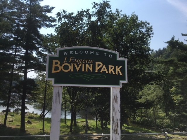
The Eugene Boivin Park provides public access to the Androscoggin River in front of the upper falls

My target for exploration today is the spillway in front of the upper section of Rumford Falls on the Androscoggin River in Rumford, Oxford County, Maine (see The Maine Atlas and Gazetteer map 78 C1). Click here, here, here, and here for other blogs about smallmouth bass fishing on nearby sections of the Middle Androscoggin River. Click here for tips on how to target these magnificent fighters. Rumford Falls is the highest waterfall east of Niagara Falls in western New York. Its total height is 178 ft, although the main plunge where I’m fishing this morning is a lower but still very impressive 100 ft high or so. The remainder of the falls consist of four smaller drops further downstream on the river, some of which are currently submerged by dams. A hydroelectric power station was built in the upper falls in the 1890’s and represents the main conduit for the river during the low-flow summer months. To see the full majesty of the upper falls requires that high water levels, which occur during snowmelt in mid-to-late April or after a heavy rainstorm later on in the year, spill over the dam at the top of the falls.


Continue reading

Digiprove sealCopyright protected by Digiprove

Fishing for Smallmouth bass on the Androscoggin River in Livermore Falls, Maine (August 18, 2018)

View Map


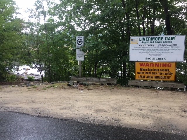
The Livermore Dam access point on River Road

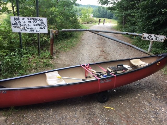
I continue my summer-long exhilarating smallmouth bass exploration of the middle Androscoggin River (click here, here, and here for earlier blogs on the subject) by checking out the spot around the Livermore Dam in Livermore Falls, Androscoggin County, Maine (see The Maine Atlas and Gazetteer map 11 A5). The public access point is located on River Road off Federal Road (a.k.a. Route 4), just below the Bridge Street bridge over the river in Livermore Falls. Note that this access point can only accommodate hand-carried craft.


Continue reading

Digiprove sealCopyright protected by Digiprove

Fishing for smallmouth bass on the Androscoggin River in Jay, Maine (August 5, 2018)

View Map

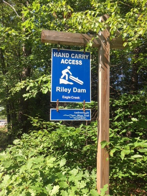
The blue access sign to Riley Dam is clearly visible from the road

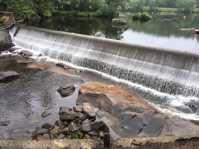
It was so much fun catching lunker smallmouth bass yesterday on the Androscoggin River below the Jay Hydroelectric Power Plant in Jay that I decided I needed another dose of where that drug came from (click here for tips on how to catch these magnificent fighters)! My fishing effort today is on a short stretch of the Androscoggin River flowing just below the Riley Dam Power Plant which sits about one mile upstream of the Verso paper mill in Jay in Franklin County, Maine (see The Maine Atlas and Gazetteer map 19 E5). To reach the public access point, drive north into Jay on Route 4/17 and then turn left on Route 140. Drive for exactly 3.2 miles on this road until you reach the unnamed turn-off to the put-in for Riley Dam. That location is clearly marked by a blue sign next to the road. Plenty of parking is available. Keep in mind that this put-in can only accommodate hand-carried craft as it lacks an actual boat launch.

Continue reading

Digiprove sealCopyright protected by Digiprove

Fishing for smallmouth bass on the Androscoggin River in Jay, Maine (August 4, 2018)

View Map

One of the three dams which stretches across the Androscoggin River in Jay.

My attention this afternoon is on the Androscoggin River flowing through Jay in Franklin County, Maine (see The Maine Atlas and Gazetteer map 19 E5). The river between the towns of Rumford in Oxford County (see The Maine Atlas and Gazetteer map 19 E1) and Livermore Falls in Androscoggin County (see The Maine Atlas and Gazetteer map 11 A5) supports a nationally-renown fishery for trophy smallmouth bass (click here for an example). My mission is to place some of those lunker fish in my boat!! Click here for tips on how to catch these magnificent fighters.
Continue reading

Digiprove sealCopyright protected by Digiprove

Fishing for smallmouth bass on the Saco River in Dayton, Maine (July 28, 2018)

View Map

The Tragedy of the Commons


Water flowing out of a dam generates powerful downstream currents that will reliably attract, concentrate, and retain river smallmouth bass throughout the summer, as I have outlined in several earlier blogs (click here and here for examples). One such location is the Skelton Dam located on the Saco River in Dayton, Maine (see The Maine Atlas and Gazetteer map 3 B1). The tailrace below this dam is the focus of my fishing efforts this afternoon.


Continue reading

Digiprove sealCopyright protected by Digiprove

Fishing for smallmouth bass on the Androscoggin River in Mexico and Rumford, Maine (July 14, 2018)

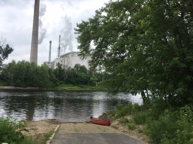
The boat launch on the Androscoggin River in downtown Mexico, with the paper mill looming in the background on the opposite shore.


(NOTE: this blog combines two separate fishing trips to the same location) I focus my attention this morning on fishing for smallmouth bass on the short, one-mile section of the Androscoggin River which flows between the Portland Street bridge in Rumford and the Veteran Street bridge in Mexico in Oxford County, Maine (see The Maine Atlas and Gazetteer map 19 E1 and also map 78 B1 and 2). Access to this water is via an excellent hard-top public boat launch located at the end of Riverside Avenue off Lincoln Avenue (Route 2 and 17) in downtown Mexico. Plenty of parking is available on Riverside Avenue. Note that, as I found out the hard way, during periods of lower water levels in the summer, this stretch of river should only be fished using a canoe or kayak. The reason is that parts of the Androscoggin River flowing above the confluence with the Swift River located on the boundary between Rumford and Mexico is too shallow and bouldery for safe motoring, whereas a canoe or kayak can easily be dragged further upstream. Also, the water gets quite shallow in the vicinity of the Veteran Street Bridge which can make motoring back upstream to the boat launch problematic.

Continue reading

Digiprove sealCopyright protected by Digiprove

Fishing for smallmouth bass on the Androscoggin River in Lisbon, Maine (July 7, 2018)

View Map

View of Rapid #1 from upstream.

The section of the Androscoggin River flowing in the area of Lisbon in Androscoggin County (see The Maine Atlas and Gazetteer map 6 AB 1) supports a thriving summer smallmouth bass fishery. The trick to success is to locate the kinds of habitat that will attract, concentrate, and retain these beautiful creatures. The required ingredients include adequate current, bouldery substrate, and appropriate depth. I’m focusing my attention this afternoon on a two-mile stretch of the Androscoggin River which provides easy access to this preferred habitat. I launch my motor boat from the excellent public access point on Sabattus Stream next to Frost Hill Avenue (right off Route 196/Lisbon Street). I float underneath Route 196 and the railroad tracks before turning right and motoring upriver. For the record, this fishing trip can also be accomplished using a canoe or kayak but will require muscle power.

Continue reading

Digiprove sealCopyright protected by Digiprove