Fishing for brown trout on the Pleasant River in Windham, Cumberland County, Maine (October 20, 2020)


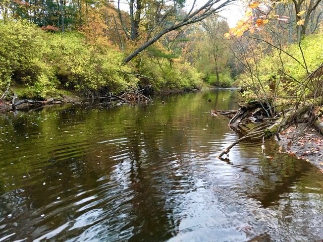
Pretty and peaceful…


The Pleasant River is a relatively short river which meanders through the towns of Grey and Windham. It joins the Presumpscot River in South Windham, Cumberland County (The Maine Atlas and Gazetteer map 5 D2). An easy access point is from the bridge on Pope Road (off Routes 4/202). Up to three vehicles can be parked next to the road at that location. I personally like to fish from the bridge all the way up to the Route 302 overpass located about 1.5 miles further upstream. The surrounding woods are surprisingly thick (with local exceptions, including a large cow pasture further upstream), considering that this river flows through a densely-populated area of southern Maine, including behind the Windham high school. I have always been surprised by how few people fish this stretch of water in the fall, although the place does get busy on weekends in the spring.

Continue reading

Digiprove sealCopyright protected by Digiprove
Fishing for rainbow trout on Crystal Lake, Gray, Cumberland County, Maine (October 18, 2020)

View Map


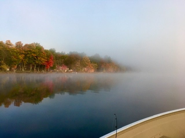
It is a wind-still morning and all’s quiet…


Crystal Lake (a.k.a. Dry Pond) is a 189-acre body of water located in Gray, Cumberland County (see the Maine Atlas and Gazetteer map 5 B3). Access is via the excellent hard-top public boat launch located at the southern tip of the lake by Mayberry Road (off North Raymond Road) next to the town-owned Wilkies Beach. Plenty of parking is available across the road from the launch.

Continue reading

Digiprove sealCopyright protected by Digiprove
Fishing for brook trout on Little Beaver Pond, Magalloway Plantation, Oxford County, Maine (September 28, 2020)

View Map


The access point to Little Beaver Pond is rough and can only accommodate hand-carried craft.


Little Beaver Pond is a pretty 50-acre body of water located just to the west of Upper Richardson Lake off Route 16 in Magalloway Plantation in northern Oxford County (see The Maine Atlas and Gazetteer map 18 A1). To access this pond from Route 16, drive north in the direction of Rangeley, turn right on Fish Pond Road (located between Aziscohos Lake and West Richardson Pond), drive down that gravel road for 1.0 mile, turn left on another gravel road and drive for 0.1 mile until you see a rough footpath on your right. The pond is located about 500 ft. down that path. Only hand-carried craft can be launched from the access point. Parking is along the road shoulder.

Continue reading

Digiprove sealCopyright protected by Digiprove

Fishing for brook trout and landlocked Atlantic salmon on Upper Richardson Lake, Richardson Township, Oxford County, Maine (September 27, 2020)

View Map


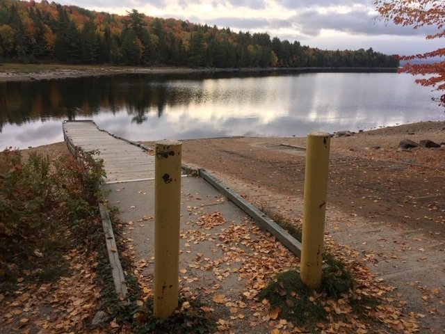
The boat launch at Upper Richardson Pond is spacious. Notice the low water level!


Upper Richardson Lake is a remote reservoir located off Route 16 in Richardson Township in Northern Oxford County (see The Maine Atlas and Gazetteer map 18 A2). To access this lake from Route 16, drive north in the direction of Rangeley, turn right on Mill Brook Road across from West Richardson Pond (look for the official blue boat launch sign), and drive for about 1 mile until you reach the water. The launch is spacious and provides ample parking.


Continue reading

Digiprove sealCopyright protected by Digiprove

Fishing for brook trout on Lower East Richardson Pond in Adamstown, Oxford County, Maine (September 27, 2020)

View Map


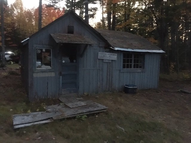
This old cabin sits at the end of the rutted forest road along the shoreline of Lower East Richardson Pond


Lower East Richardson Pond is a remote 54-acre body of water located off Route 16 in the “Upper Richardson – Maine Public Reserved Land Unit” of Adamstown Township in northern Oxford County (see The Maine Atlas and Gazetteer map 28 E2). To access this pond from Route 16, drive north in the direction of Rangeley, turn right on Upper Dam Road located across from West Richardson Pond, stay on that dirt road for 0.8 miles, turn left on an unmarked dirt road (no need for a 4X4 vehicle) and drive for 0.5 mile until you reach another unmarked forest road on the left. Beware that a four-wheel-drive vehicle is required to drive the 1000 ft or so on that road to the pond. So it may be best to leave your vehicle at that intersection and walk in. To our surprise, my son Joel and I find an old cabin on the shoreline that seems to belong to a local rod and gun club. Note: the link to the Google Map above points to Upper East Richardson Pond. The lower pond is the smaller body of water just to the south of it.


Continue reading

Digiprove sealCopyright protected by Digiprove

Fishing for brook trout on Upper East Richardson Pond in Adamstown, Oxford County, Maine (September 26, 2020)

View Map


You’ve driven about 1000 ft too far if you reach this gate.


Upper East Richardson Pond is a remote 85-acre body of water located off Route 16 in the “Upper Richardson – Maine Public Reserved Land Unit” of Adamstown Township in northern Oxford County (see The Maine Atlas and Gazetteer map 28 E2). To access this pond from Route 16, drive north in the direction of Rangeley, turn right on Upper Dam Road located across from West Richardson Pond, stay on that dirt road for 0.8 miles, turn left on an unmarked dirt road (no need for a 4X4 vehicle) and drive for about a mile or so up to a gate on your left. The trail behind that gate leads to a cabin on the shore of the pond which appears to be used by a local rod and gun club. I do not see any no trespassing signs at the gate, but a kind person at the cabin informs me that the “public” access point is actually located down a short unmarked trail off the road about 1,000 ft before the gate (diagonally across from a small open clearing). The rough footpath from the road to the shore is less than 500 ft long.


Continue reading

Digiprove sealCopyright protected by Digiprove

Fishing for smallmouth bass on the Kennebec River in Waterville, Kennebec County, Maine (August 22, 2020)


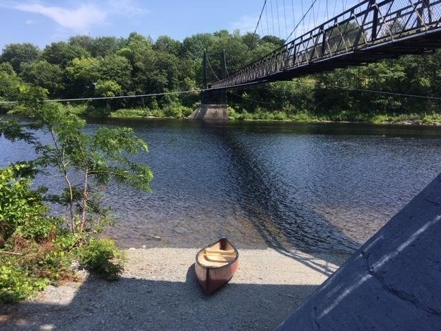
The boat launch for our trip is located in the shadow of the historic “Two-Penny Foot Bridge” at the Head of Falls municipal park in Waterville. The dam is about 0.5 mile upstream to the left.


For today’s expedition, my grandson Geovani and I are fishing for smallmouth bass on the Kennebec River at the dam located upstream of the Ticonic Falls dam in Waterville, Kennebec County, Maine (see The Maine Atlas and Gazetteer map 76 [Waterville/Winslow] B2). This spot can only be accessed by putting in a canoe or kayak at the foot of the historic “Two-Cent Footbridge” (also known as the Ticonic Footbridge) located at the Head of Falls municipal park off Front Street in downtown Waterville Keep in mind that this launch is not accessible to trailered boats. The dam is about half a mile further upstream. I fished this spot last year and enjoyed the action and the setting. I hope to repeat that earlier experience today with my grandson.


Continue reading

Digiprove sealCopyright protected by Digiprove

Fishing for smallmouth bass on the Kennebec River in Fairfield, Somerset County, Maine (August 8, 2020)

View Map


I caught this little guy by the tail. How does that even happen??


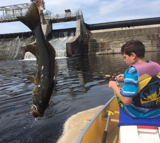
I am taking Geovani, my 11-year old grandson, out fishing this morning. I want to make sure that he catches plenty of scaly creatures to keep him interested and engaged. So, we are going to check out the smallmouth bass fishing on the Kennebec River in the shadow of the Shawmut Dam located in Fairfield, Somerset County, Maine (see The Maine Atlas and Gazetteer map 21 D3). I checked this location out last year and did well. I hope to emulate that success this time around. To reach this spot, drive north out of Fairfield on Route 201 (Skowhegan Road) and turn right on Kennebec Street. Drive all the way down towards the dam and power station located across the railroad tracks. A blue boat-launch sign will direct you to the right through an open yellow gate towards the water. Keep in mind that only canoes and kayaks can be launched from this spot due to the shallow water and strong current.


Continue reading

Digiprove sealCopyright protected by Digiprove

Fishing for smallmouth bass in the Androscoggin River, Jay, Maine (August 1, 2020)

View Map


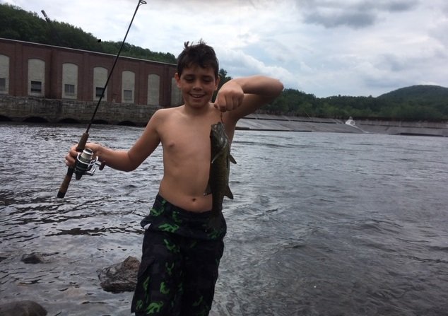
The bite is slow and the bass are rather small, but Gwovani has a good time. Note the turbine house to the left, and the dam to the right.

The target of my fishing efforts today is the Androscoggin River flowing just below the Riley Dam Power Plant in Jay, Franklin County, Maine (see The Maine Atlas and Gazetteer map 19 E5). To reach the public access point to the river, drive north into Jay on Route 4/17 and then turn left on Route 140. Drive for exactly 3.2 miles on this road until you reach the unnamed turn-off to the put-in for Riley Dam. That location is clearly marked by a blue sign next to the road. Plenty of parking is available. Keep in mind that this put-in can only accommodate canoes or kayaks as it lacks an actual boat launch.


Continue reading

Digiprove sealCopyright protected by Digiprove

Fishing for smallmouth bass on the Androscoggin River, Durham, Maine (June 27, 2020)

View Map


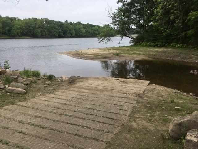
The water level is so low that launching a trailered boat becomes a challenge…


The lower two-thirds of the Androscoggin River flowing through Maine supports a tremendous smallmouth bass fishery (click here, here, here, here, and here for examples). We’ve come a long way since the 1960’s when this stretch of river was an abused and neglected stinking open sewer, contaminated by untreated papermill effluent and municipal sewage. Following the Androscoggin’s re-birth after the passage of the Clean Water Act in the early 1970’s, Maine’s people have discovered its tremendous recreational potential, turning the river into a regional paddling and angling destination. Residual contaminant levels in fish tissue greatly limits the number of smallmouth bass that are harvested annually. As a result, most recreational anglers practice catch-and-release, myself included, resulting in a robust bronzeback fishery. Keep in mind that this stretch of the river also contains serious northern pike. Although I am not specifically targeting these fish today, I have caught them in the past in this general location as an accidental “bycatch”, which is always fun.


Continue reading

Digiprove sealCopyright protected by Digiprove