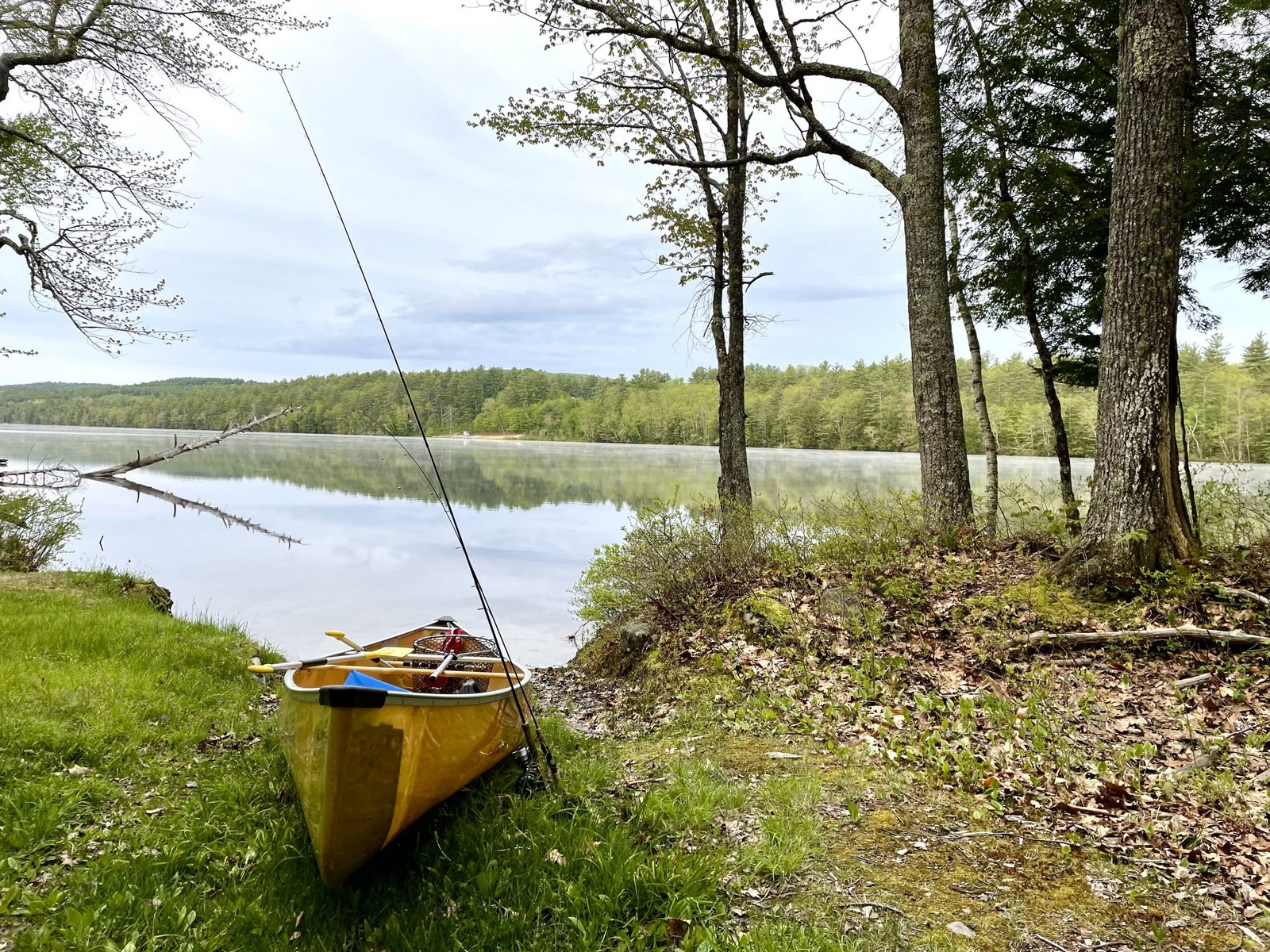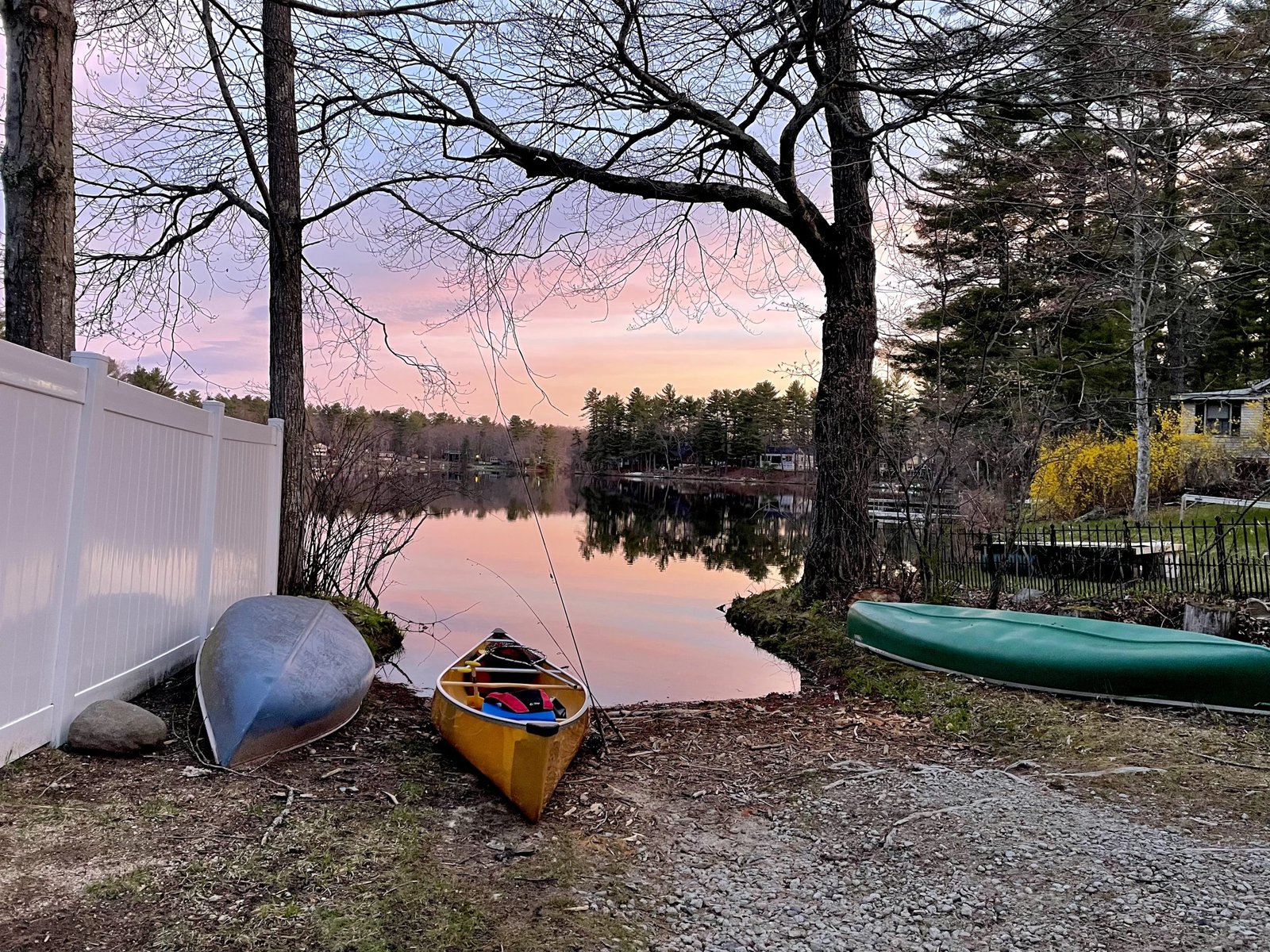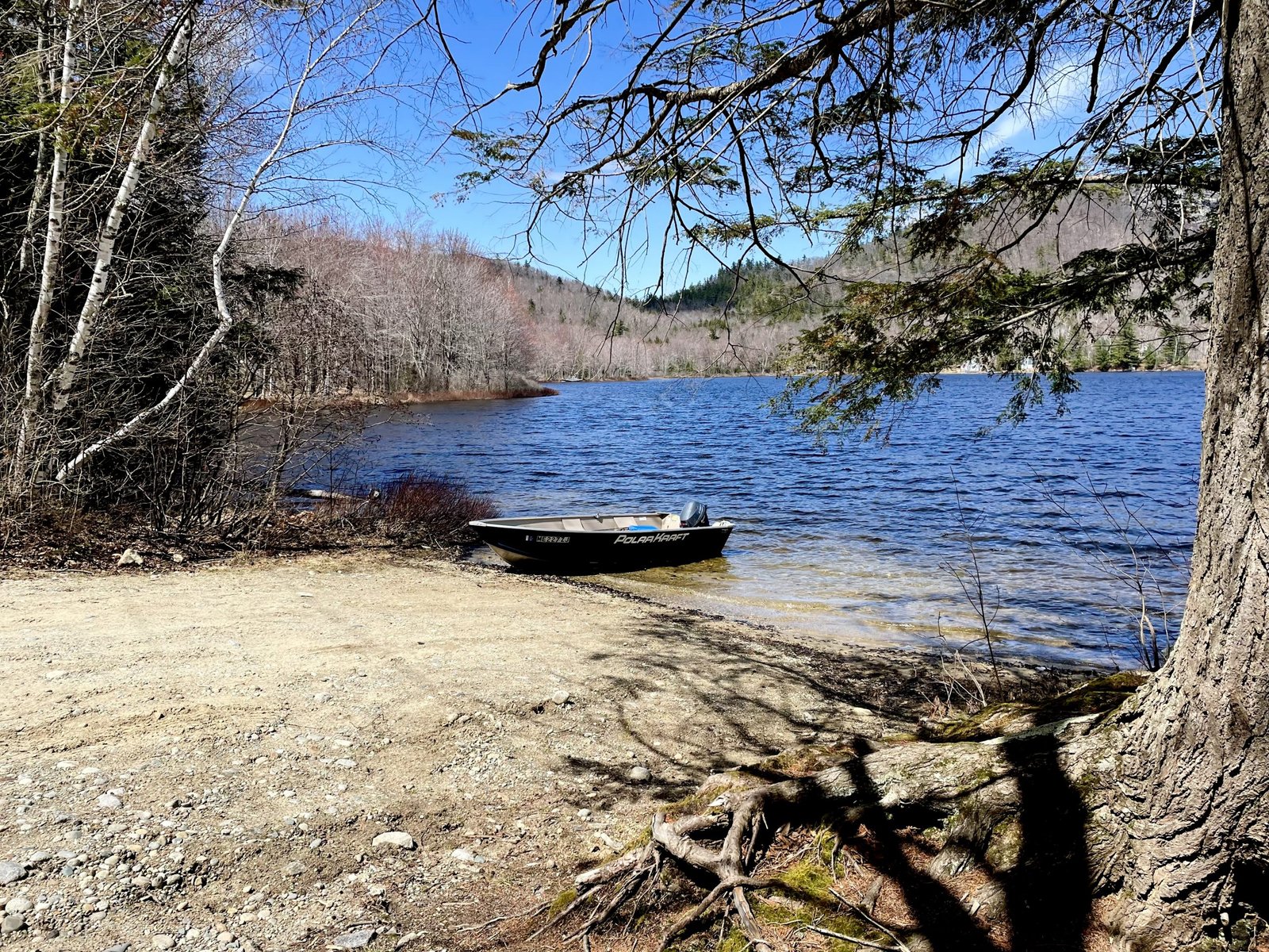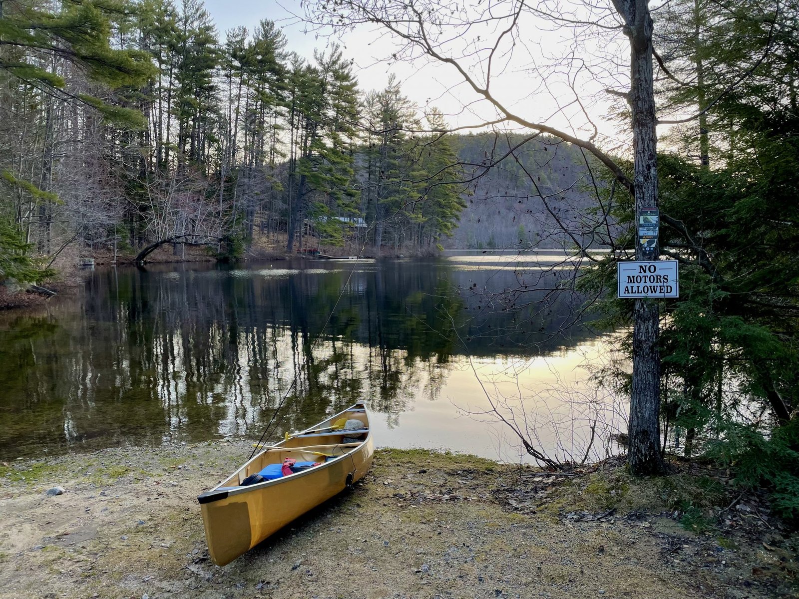
Fishing for brook trout on Overset Pond in Greenwood, Oxford County, Maine (May 21, 2022)


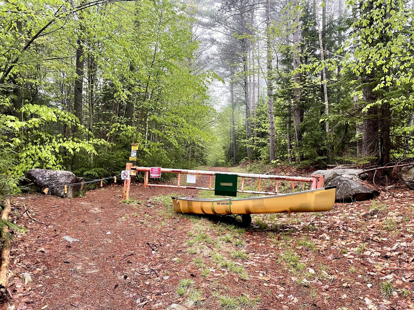
The gate on Overset Pond Lane is closed. I have to haul in all my equipment using my canoe wheels.


Overset Pond covers 18 acres and is located in Greenwood, Oxford County, Maine (see The Maine Atlas and Gazetteer map 10 C4). To reach this location, drive north on Route 219 (Greenwood Road) into Greenwood. Turn left on Patch Mountain Road and drive down this road for 0.5 miles. Then, turn right on Willis Mills Road and after 0.1 mile, turn right again on Overset Pond Lane. Note that the latter goes through privately-owned woodlands. The landowners allow public access via permissive trespass. However, they also installed a sturdy gate that is locked during mud season to prevent vehicles from destroying Overset Pond Lane. The sign says that the gate will be open on May 23. To reach the pond when the gate is locked (as it is for me today), leave your vehicle at the small parking lot by the gate and walk for about ¾ of a mile. Be aware that Overset Pond Lane is deceptively steep! It took me 30 minutes of serious huffing and puffing to pull up all my gear on my canoe wheels, but only 20 minutes to return back to the gate at the end of my trip. At some point, the lane bifurcates. Look for a small brown sign by the tree line on the left just passed the fork that says “Overset”. That’s the start of the 2.2 mile Overset Pond hiking trail which loops around the pond. It takes about 8 to 10 minutes to reach the access point from here (hang a left at the bifurcation on the trail at the southern tip of the pond). Note that this trail is too rough to accommodate canoe wheels. Hence, everything has to be carried in by hand from the road to the access point. I do have a sneaky, but unproven, suspicion that the gravel road to the left of the bifurcation may in fact extend to the access point which also has a campsite and a fire ring.

Continue reading

Digiprove sealCopyright protected by Digiprove
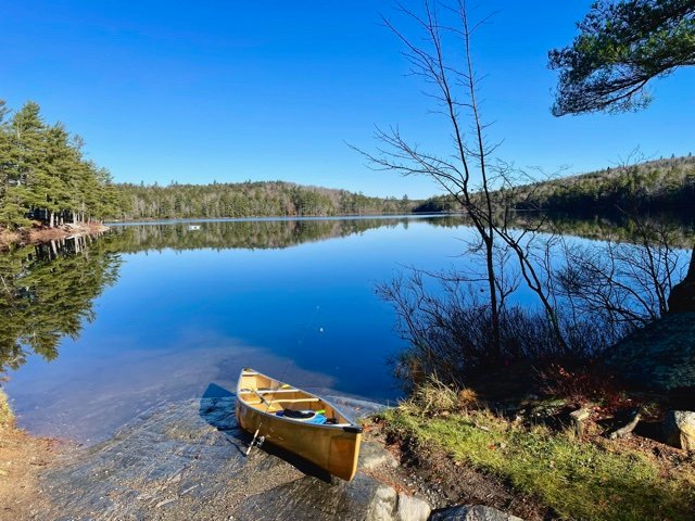
Fishing for brook trout on Keys Pond in Sweden, Oxford County, Maine (May 19, 2022)


The public access point is unimproved but could accommodate a small, trailered boat.


Keys Pond covers 192 acres and is located in Sweden, Oxford County, Maine (see The Maine Atlas and Gazetteer map 10E3). The public access is found at the northern tip, in the vicinity of the outlet. To reach this point, drive north on Plummer School Road, and turn left on Perry Hill Road. Stay on this road for 0.2 miles before turning left on Keys Pond Road. The access point is located 0.3 miles down that road on your left. Motorboats are not explicitly prohibited on this body of water but the town has established a voluntary engine size limit of 5 horse power. The launch is rough, narrow, a bit muddy, and sandy but could accommodate a small, trailered boat in a pinch. A limited area for rough parking is available next to the launch.


Continue reading

Digiprove sealCopyright protected by Digiprove
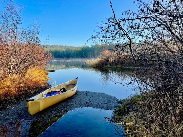
Fishing for brown trout on Pettingill Pond in Windham, Cumberland County, Maine (May 6, 2022)


That’s the way I like to start my mornings!


Pettingill Pond covers 36 acres and is located across from Seacoast Adventure in Windham, Cumberland County, Maine (see The Maine Atlas and Gazetteer map 5 C2). The public access to this body of water can be difficult to find. While driving on Route 302 in Windham (direction Raymond and Naples, i.e., north), turn right at the light on Anglers Road just past Bob’s Seafood Restaurant, go down that ruddy road for about 0.4 miles and look for house number 48. The small, unmarked public access will be to your left immediately past that house (and across from house #51). You have gone too far if you reach Mud Pond Road. Keep in mind that Anglers Road is narrow, potholed, and trafficky, and no vehicles are allowed to park on it or by the public access. The only readily-available place to leave your car is by Route 302.

Continue reading

Digiprove sealCopyright protected by Digiprove

Fishing for splake on Shagg Pond in Woodstock, Oxford County, Maine (April 30, 2022)


The boat launch is spacious but unimproved.


Shagg Pond covers 64 acres and is located in Woodstock, Oxford County, Maine (see The Maine Atlas and Gazetteer map 11 A1). The public access point is found along the western shoreline right off Redding Road, also called Shagg Pond Road in Google Maps. The boat launch is sandy and unimproved but can accommodate trailed boats. Parking is limited to a few cars along the shoulder of the gravel road.


Continue reading

Digiprove sealCopyright protected by Digiprove

Fishing for brook trout on Cushman Pond in Lovell, Oxford County, Maine (April 23, 2022)


A pretty early-morning view of Cushman Pond from the access point. McDaniels Hill looms large in the background.


Cushman Pond covers 32 acres and is located in Lovell, Oxford County, Maine (see The Maine Atlas and Gazetteer map 10 D2). The public access point is found at the outlet by the dam right off Cushman Pond Road. Plenty of parking is available in the immediate vicinity. Be aware that motorboats are prohibited on this pond even though the unimproved sandy launch can easily accommodate trailered boats.

Continue reading

Digiprove sealCopyright protected by Digiprove

Fishing for brook trout on Clays Pond in Fryeburg, Oxford County, Maine (April 16, 2022)


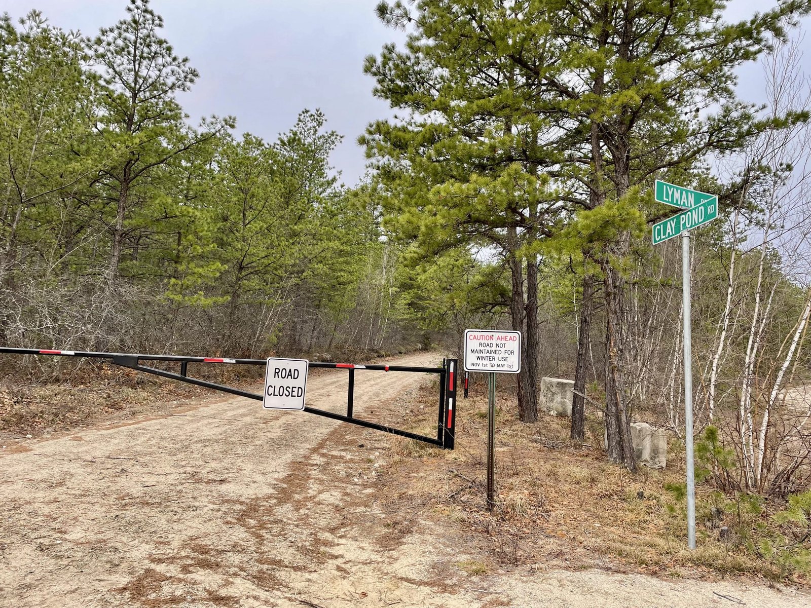
Clays Pond Road is closed to all vehicular traffic until May 15.


Clays Pond covers 21 acres and is located in Fryeburg, Oxford County, Maine (see The Maine Atlas and Gazetteer map 4 B1). The public access point is located on Clays Pond Road, which splits off from Lyman Drive connecting Route 5/113 to the Eastern Slopes Regional Airport. Beware that Clays Pond Road is a gated dirt road closed to all vehicular traffic until May 15, when mud season ends. It takes 10 to 15 minutes walking to reach the pond from the gate. The alternative access route via Farnsworth Road and Porter Road is also blocked off until May 15.


Continue reading

Digiprove sealCopyright protected by Digiprove

Fishing for brook trout on Round Pond in Lyman, York County, Maine (November 20, 2021)


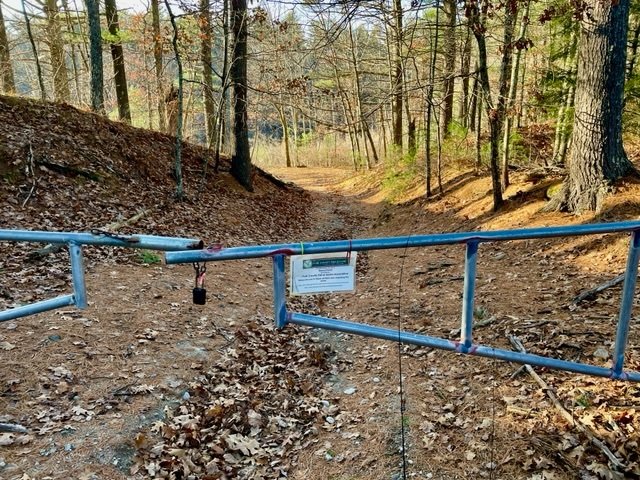
The entrance to Round Pond is gated but the public is welcome to pass through.


Round Pond is a small, 6-acre body of water located in Lyman, York County, Maine (see The Maine Atlas and Gazetteer map 2 B5). The public access point to this pond is located where Mast Road joins Route 35 (a.k.a. Goodwins Mills Road), right next to the York County Fish and Game Association (YCFGA) building and across from the association’s shooting range. Beware that fishing can become noisy when the shooting range is active, which is fortunately not the case during my visit. The access point is gated by the YCFGA to block vehicles, but anglers are welcome to walk to the pond via a 200-ft. gravelly trail. Hand-carried craft can be launched from the tiny sandy beach by the water’s edge. Plenty of parking is available along the shoulder of Mast Road.

Continue reading

Digiprove sealCopyright protected by Digiprove

Fishing for brook trout on Levenseller Pond in Lincolnville, Waldo County, Maine (November 13, 2021)


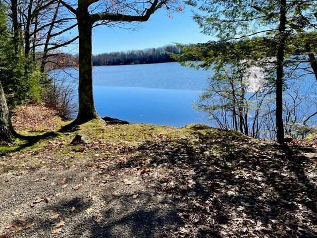
A splendid view of Levenseller Pond from the access point by Route 173


Levenseller Pond is a pretty 35-acre body of water located in the town of Lincolnville in Waldo County, Maine (see The Maine Atlas and Gazetteer map 14 C3). The public access to this pond is right next to Route 173 (Lincolnville Avenue). Only hand-carried craft can be launched from this location. Plenty of parking is available along the road shoulder.

Continue reading

Digiprove sealCopyright protected by Digiprove

Fishing for brook trout on Sanborn Pond in Brooks, Waldo County, Maine (November 13, 2021)


View of Sanborn Pond from the launch. Route 137 is to the left. Notice the slab of bedrock. One cannot ask for better weather conditions in mid-November!!


Sanborn Pond is a 87-acre body of water located in the town of Brooks in Waldo County, Maine (see The Maine Atlas and Gazetteer map 14 A3). The public access to this pond is located right off Route 137 (Belfast Road). It consists of an unimproved launch made up of a slab of natural bedrock that slopes into the water and can therefore best accommodate hand-carried crafts, and maybe a small trailered boat in a pinch. Several cars can be parked next to the road right next to the launch.

Continue reading

Digiprove sealCopyright protected by Digiprove

Fishing for brook trout on Dutton Pond in Knox, Waldo County, Maine (November 13, 2021)


The boat launch is flooded because of the excessive rains from last night


Dutton Pond is a 35-acre body of water located in the town of Knox in Waldo County, Maine (see The Maine Atlas and Gazetteer map 14 A3). Access to this pond is via Dutton Pond Road, right off Route 137 (Belfast Road). A rough boat launch is located off Dutton Pond Road and can accommodate small trailered boats. Very limited parking is available at the launch (one, maybe two, vehicles but without trailers). Vehicles with trailers can best be parked by Route 137.

Continue reading

Digiprove sealCopyright protected by Digiprove