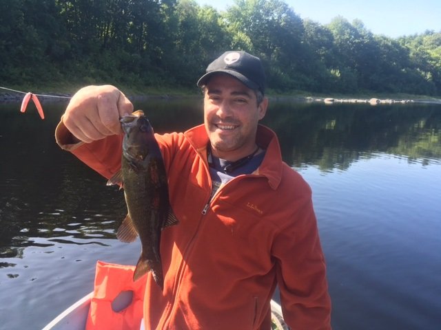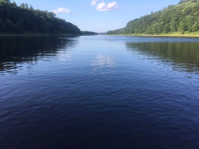
Fishing for smallmouth bass on the Androscoggin River in Mexico and Rumford, Maine (July 14, 2018)

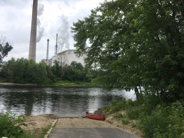
The boat launch on the Androscoggin River in downtown Mexico, with the paper mill looming in the background on the opposite shore.


(NOTE: this blog combines two separate fishing trips to the same location) I focus my attention this morning on fishing for smallmouth bass on the short, one-mile section of the Androscoggin River which flows between the Portland Street bridge in Rumford and the Veteran Street bridge in Mexico in Oxford County, Maine (see The Maine Atlas and Gazetteer map 19 E1 and also map 78 B1 and 2). Access to this water is via an excellent hard-top public boat launch located at the end of Riverside Avenue off Lincoln Avenue (Route 2 and 17) in downtown Mexico. Plenty of parking is available on Riverside Avenue. Note that, as I found out the hard way, during periods of lower water levels in the summer, this stretch of river should only be fished using a canoe or kayak. The reason is that parts of the Androscoggin River flowing above the confluence with the Swift River located on the boundary between Rumford and Mexico is too shallow and bouldery for safe motoring, whereas a canoe or kayak can easily be dragged further upstream. Also, the water gets quite shallow in the vicinity of the Veteran Street Bridge which can make motoring back upstream to the boat launch problematic.

Continue reading

Digiprove sealCopyright protected by Digiprove
Fishing for smallmouth bass on the Androscoggin River in Lisbon, Maine (July 7, 2018)

View Map

View of Rapid #1 from upstream.

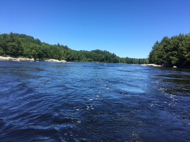
The section of the Androscoggin River flowing in the area of Lisbon in Androscoggin County (see The Maine Atlas and Gazetteer map 6 AB 1) supports a thriving summer smallmouth bass fishery. The trick to success is to locate the kinds of habitat that will attract, concentrate, and retain these beautiful creatures. The required ingredients include adequate current, bouldery substrate, and appropriate depth. I’m focusing my attention this afternoon on a two-mile stretch of the Androscoggin River which provides easy access to this preferred habitat. I launch my motor boat from the excellent public access point on Sabattus Stream next to Frost Hill Avenue (right off Route 196/Lisbon Street). I float underneath Route 196 and the railroad tracks before turning right and motoring upriver. For the record, this fishing trip can also be accomplished using a canoe or kayak but will require muscle power.

Continue reading

Digiprove sealCopyright protected by Digiprove
Ice fishing for smallmouth bass and splake on Trickey Pond in Naples, Maine (March 31, 2018)

View Map

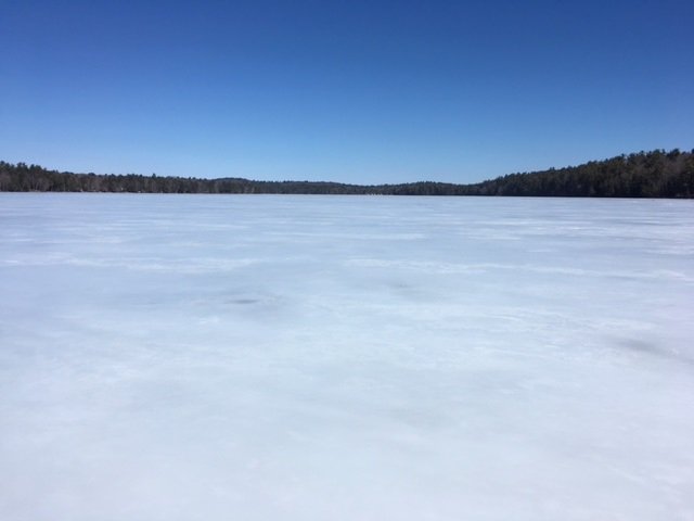
A bright and sunny, but windy, early-spring day on Trickey Pond

Trickey Pond covers 311 acres and is located in Naples, Cumberland County, Maine (see The Maine Atlas and Gazetteer map 4 B5). I have fished it on multiple occasions in the past for smallmouth bass and splake. I also know from several reliable sources that this relatively small body of water grows serious landlocked Atlantic salmon in the 6- to 8-pound range! The reason I like to visit Trickey Pond towards the end of the ice fishing season is that its ice is always thick and safe, even when the hard water on other ponds in southern Maine is no longer reliable. Besides, there’s always the chance of catching a real bragging fish here! Keep in mind though that this pond has a well-deserved reputation of only grudgingly offering up its scaly denizens. So, be ready to put in time to learn its secrets if you are unfamiliar with its layout.


Continue reading

Digiprove sealCopyright protected by Digiprove

Ice fishing on Crystal Pond in Turner, Maine (January 27, 2018)

View Map

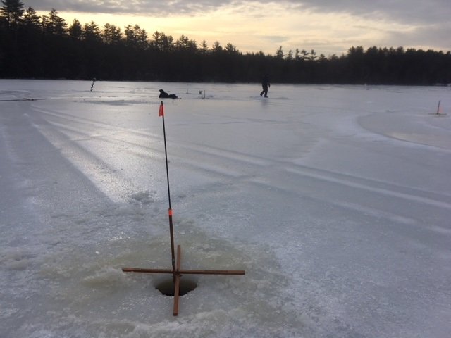
The ice is glare and the light levels are low.

Crystal Pond (a.k.a. Beals Pond) covers 47 acres and is located in Turner, Androscoggin County, Maine (see The Maine Atlas and Gazetteer map 11 C4). This body of water is immediately adjacent to Route 4. Ample space is available to leave vehicles next by the pond, but be aware that this parking area is typically not plowed in the winter. During my visit, the snow was all packed down and icy due to the recent thaw, and I was able to park my car off the road. That may not be the case after a snow storm or if the snowplows have left behind a deep snowbank next to the road. In that case, vehicles must be parked in the breakdown lane of Route 4.


Continue reading

Digiprove sealCopyright protected by Digiprove

Smallmouth bass fishing on the Kennebec River, Vassalboro, Maine (September 13, 2017)

View Map

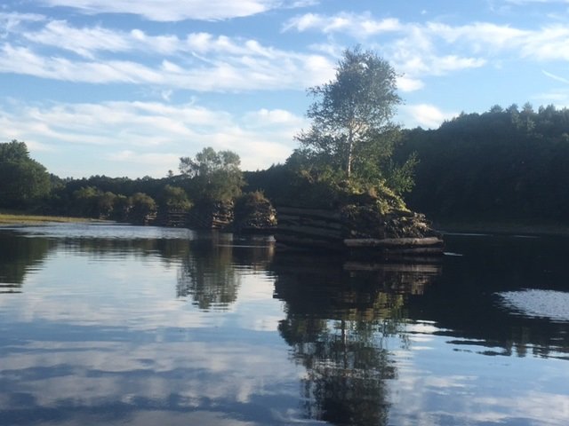
My focus this afternoon are the dozen or so small log-driving islands located in the Kennebec River just upstream of Sevenmile island. The latter is shown in the background to the left.


This blog describes how my son and I enjoyed catching smallmouth bass in the stretch of the Kennebec River flowing for about two mile downstream of the boat launch in Sidney, Maine (see The Maine Atlas and Gazetteer map 13 A1). However, during that past fishing trip, we got completely distracted fishing along the way and never reached our intended destination, i.e., Sevenmile Island and its collection of small log-driving islands. I can spare 1.5 hours this evening to complete my original mission. So, I flee the office early to investigate this spot which has been calling me. I arrive at the Sidney boat launch at 5:15 pm and buzz off at 5:30 pm. I have to use all my will power NOT to stop again along the way like we did last time, but instead to keep motoring forward for about 15 minutes until I reach my final destination three miles downstream from the launch.


Continue reading

Digiprove sealCopyright protected by Digiprove

Smallmouth bass fishing on South Branch Lake, Seboeis Plantation, Maine (September 9, 2017)

View Map

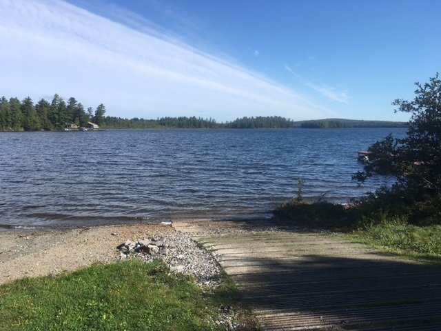
South Branch Lake is accessible via this nice hard-top boat launch

South Branch Lake is a 2,035 acre body of water located in Seboeis Plantation, Penobscot County, Maine (see The Maine Atlas and Gazetteer map 43 E3). The lake can be accessed from an excellent hard-top public boat launch located at the end of Lake Road (off Seboeis Road) at the southern end of the lake. Plenty of parking is available by this access point.


Continue reading

Digiprove sealCopyright protected by Digiprove

Smallmouth bass fishing on the Kennebec River, Sidney, Maine (August 26, 2017)

View Map


In this blog, I describe how I really enjoyed chasing smallmouth bass in the stretch of the Kennebec River flowing for about 1 mile upstream of the boat launch in Sidney, Maine (see The Maine Atlas and Gazetteer map 13 A1). So, I decided to get some more of that action by further exploring the river that flows downstream from the launch. In preparation for this trip, and because the river is an unknown to me, I go on Google Maps the evening before and “fly” over my future fishing grounds looking for potential target areas. And I’m not disappointed! Two sets of structures immediately stand out. The first one are about two dozen small log-driving islands located around one mile downstream of the public access point along the left shoreline of the river. Each island measures about 10 ft by 10 ft and consists of a wooden cribwork filled with large boulders. They were built in the olden days when the Kennebec River was used for driving logs down to the sawmills during the spring snowmelt. Nowadays, they serve as smallmouth bass magnets! The second structure consists of “Seven-Mile Island” located further downstream of the log-driving islands. Both are the focus of our attention this morning.

Continue reading

Digiprove sealCopyright protected by Digiprove

Smallmouth bass fishing on the Kennebec River, Sidney, Maine (August 21, 2017)

View Map

The Kennebec River is gorgeous and I have it all to myself this afternoon!

The Kennebec River is an environmental jewel which flows out of Moosehead Lake, winds its way through central Maine and reaches the Atlantic Ocean by Popham Beach. The focus of my attention this afternoon is the 6-mile stretch between Sidney and Waterville. The last time I fished these waters was way back before the removal of Edwards Dam in Augusta in 1999. So, it’s about high time that I return to this gorgeous river and check it out!! An excellent hard-top public boat launch is located at the end of Recreation Drive off West River Road (Route 104) in Sidney (see The Maine Atlas and Gazetteer map 13 A1). Plenty of parking is available for vehicles with trailers.


Continue reading

Digiprove sealCopyright protected by Digiprove

Smallmouth bass fishing on Panther Pond, Raymond, Maine (August 14, 2017)

View Map

The sun is setting and the surface commotion is gone. It’s time for the smallmouth bass to grab dinner before dark!

Catching smallmouth bass in ponds or lakes during high summer in Maine can be a real challenge, even for the experienced angler. The surface water is warm (75° to 80°F), the sun is bright, and the human activity levels can be intense as a result of water skiing, jet skiing, pontoon boating, or power boating. The fish seek shelter 15 to 25 ft below the surface to locate cooler water, hide from the sun, and find respite from all the human commotion above. Unlike the nippier and less hectic spring months, when the smallmouth bass congregate and concentrate in large numbers along bouldery shorelines for the annual spawn, the summer bronzebacks are scattered over a much larger area and in deeper water. That makes them intrinsically more difficult to find and catch.


Continue reading

Digiprove sealCopyright protected by Digiprove

Largemouth bass fishing on Stearns Pond, Sweden, Maine (July 29, 2017)

View Map

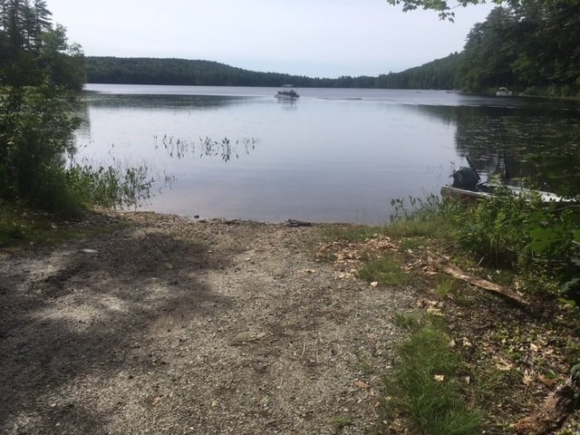
View of Stearns Pond from the public access point

Stearns Pond covers 255 acres and is located in Sweden, Oxford County (see The Maine Atlas and Gazetteer map 10 E3). To access this pond from Waterford Road (Route 93), drive down Hardscrabble Road and turn left on Wint Road. Drive down this road for 0.25 miles before turning left on Town Landing Road. The public access point to the pond is located at the end of this gravel road. The boat launch is unimproved but consists of firm sand and can easily accommodate small trailered boats. Ample parking is available next to the launch.

Continue reading

Digiprove sealCopyright protected by Digiprove